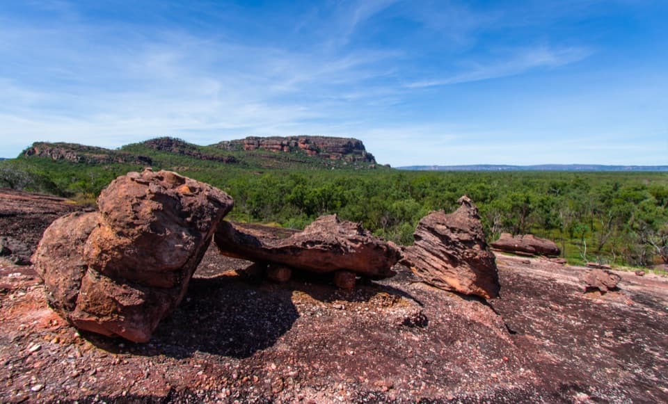
Parking
Turn off Kakadu Highway about 5 km beyond Mary River ranger station. The unpaved access track to the Lower Ikoymarrwa car park requires a 4WD. Confirm whether a special permit or authorized tour operator is required before driving in.
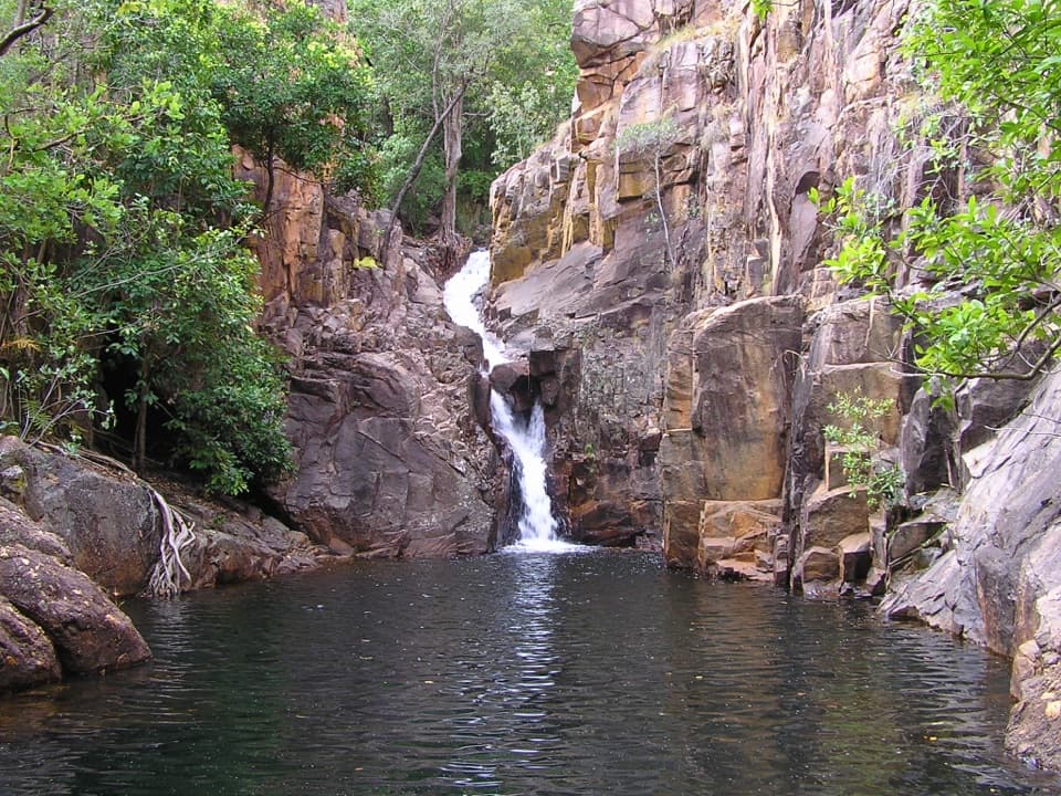
Kakadu National Park, NT
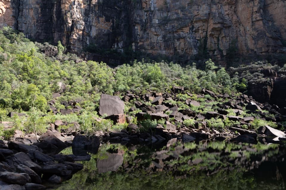
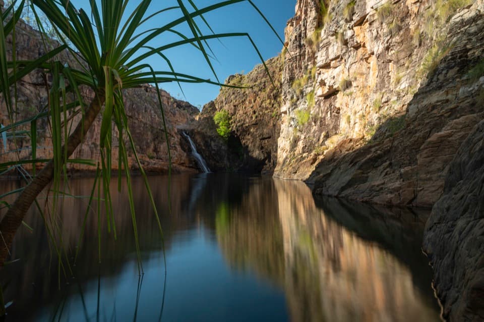
A shaded plunge pool tucked beneath a small cascade.
Photo: ogwen, CC BY-SA 3.0, via Wikimedia Commons
Overview
Map & elevation
Plan your hike

The highest, rockiest slopes around here are a summer buffet for grizzly bears.
Kakadu Tour Guide
Parkwolf is a GPS audio tour guide for Kakadu National Park. As you drive, it chimes in with what’s ahead: hidden gems, upcoming stops, history, geology, and wildlife, right through your car’s speakers.
See the Kakadu audio tourRecorded for this area
A Lizard Built for Water“A lizard basking beside a creek may be an underwater hunter. Mertens' water monitors stay close to fresh water, including creeks and billabongs.”
Plays on the road 0.7 km from the trailhead in the Parkwolf Kakadu Tour Guide.
More stories near here in the app
“Fantastic app with many points of information… It’s great to just turn on while you’re driving and it gives you an audio tour of the national Park. We love it!!!!”


Trail guide
Lower Ikoymarrwa (Moline Rockhole) Walk is a very short out-and-back from the 4WD access car park to the lower rockhole. The mapped footpath is about 0.15 mile round trip; the route line draws the outbound corridor once. Allow roughly 15 minutes to walk and look around. This is a quick stop for the pool and cascade, not a substantial hike.
The lower rockhole sits below a small cascade, between tall, broken rock walls. The short path ends at the rockhole's trail-side approach. A couple of picnic tables are at the access area, but there are no toilets. Water may still be flowing over the falls in the early dry season, around April to June, though flow varies with wet-season rain.
Reaching the access means taking the unpaved track off Kakadu Highway about 5 km past Mary River ranger station; the drive requires a 4WD. Access information is mixed: the park lists 4WD access to the lower pool, while local visitor guidance says the area is unmarked, special-permit and reached only through selected tour operators. Confirm permission and whether an authorized operator is required before driving in; do not assume this is a self-guided stop.
Wildlife
 1,126 sightingsSaltwater CrocodileMost seen around 7 AMSighting map
 122 sightingsWater BuffaloMost seen around 6 AMSighting map
 77 sightingsFrilled DragonMost seen around 7 AMSighting map
 118 sightingsRed-tailed Black CockatooMost seen around 7 AMSighting map
 108 sightingsBrolgaMost seen around 7 AMSighting map
 310 sightingsMagpie GooseMost seen around 5 PMSighting map
Sighting maps show where each species has been reported across Kakadu. Wildlife moves, so no sighting is guaranteed.
Keep exploring
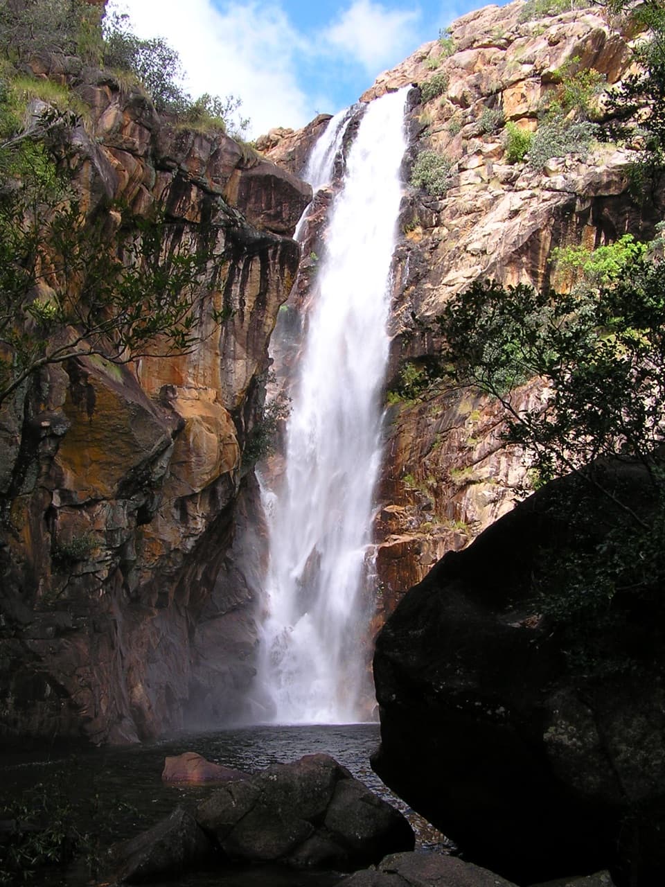 ModerateMotor Car Falls Walk7.5 km · 4 hr · 22.3 km awayA 7.5 km return through open woodland to a shaded waterfall.
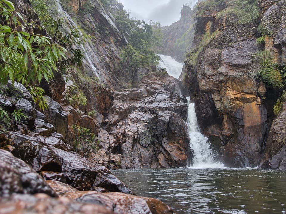 ChallengingKurrundie Falls Walk11 km · 7 hr · 22.3 km awayA tough, unmarked 11 km return hike to a two-stage waterfall.
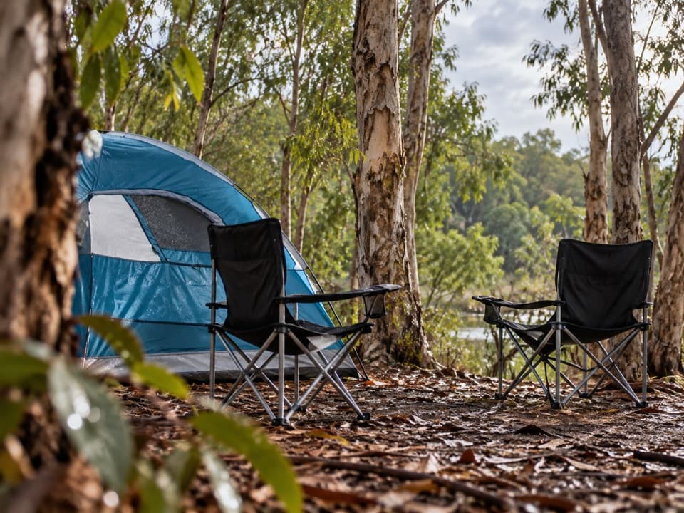 EasyMurrill Billabong Walk1 km · 30 min · 23.3 km awayA short, flat birdwatching break at a seasonal billabong.
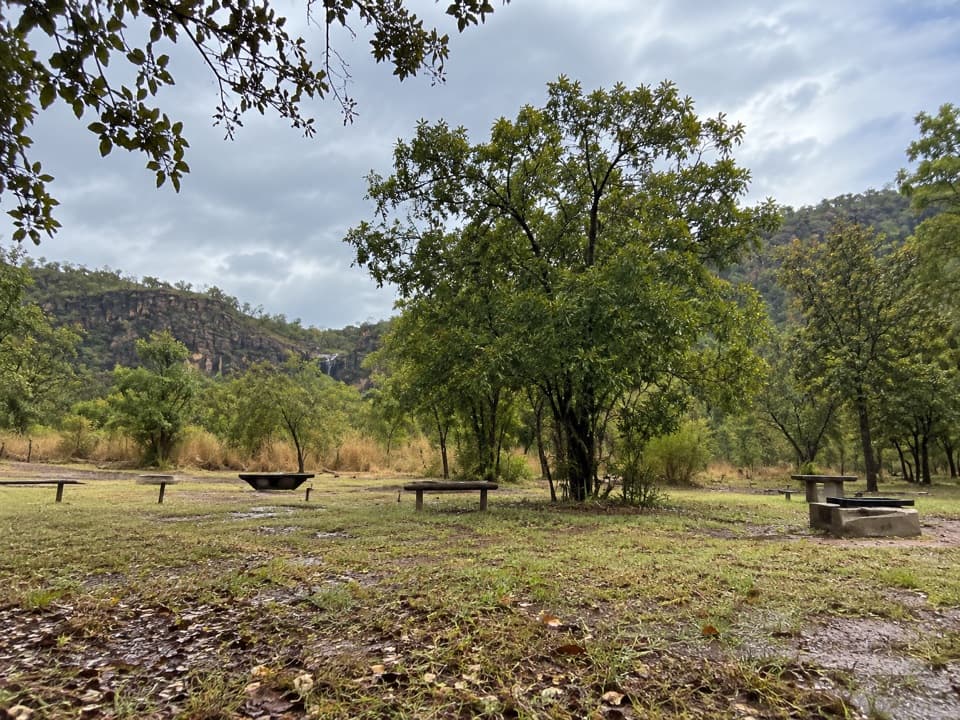 EasyMurrill Walk to Alligator River2.8 km · 1 hr · 23.3 km awayA gentle birdwatching walk through woodland toward South Alligator River.
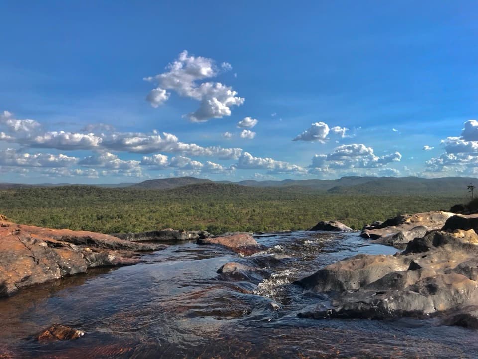 ModerateGunlom Lookout Walk1 km · 30 min · 23.6 km awayA steep escarpment climb to upper pools and a wide ridgeline view.
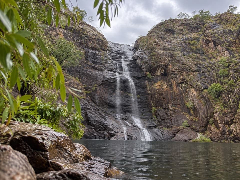 EasyGunlom Plunge Pool Viewing Walk0.4 km · 6 min · 23.6 km awayA short paperbark path to Gunlom's lower plunge-pool viewpoint
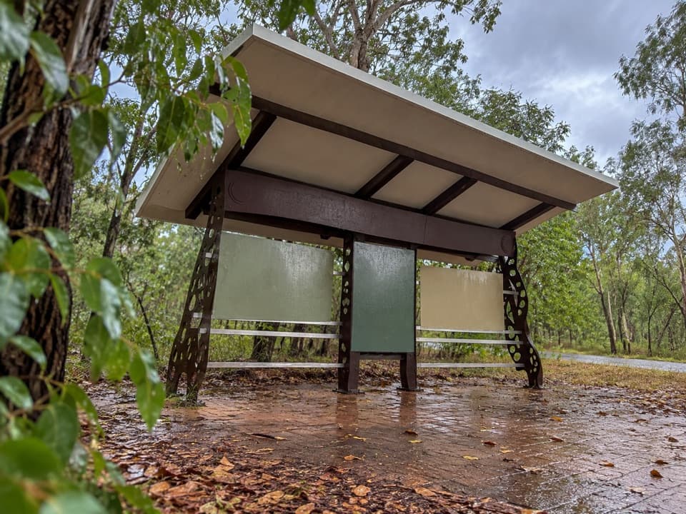 Ranger station · 3 km awayMary River Ranger Station and Information BayStop for park information, interpretive displays and a toilet break.
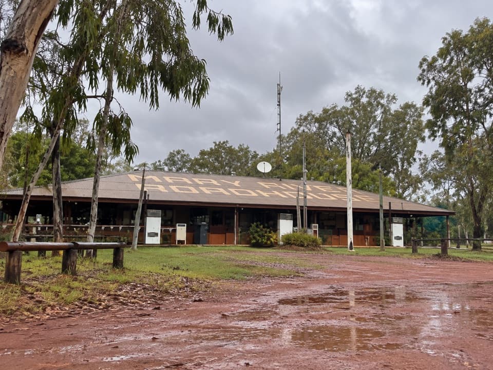 Sight · 5.1 km awayWirnwirnmila Mary River RoadhouseA former roadhouse beside the Mary River.
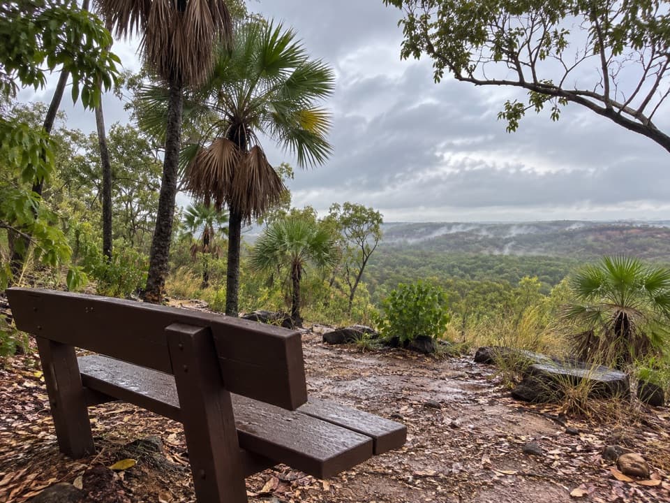 Sight · 10.2 km awayBukbukluk LookoutA quick southern stop for low ridges, picnic tables and birdlife.
Parkwolf’s Kakadu ranking

The audio tour guide for the drive, plus offline maps, trails, and wildlife heatmaps for when the signal drops.