Parking
Start at Z Bend carpark, off Z Bend Access Road. The lookout and Z Bend River Trail also start from this visitor area; follow the Four Ways markers for the longer gorge walk.

#9 of 18 trails in Kalbarri
Kalbarri National Park, WA
A hard descent to the quiet pool at Four Ways.
Overview
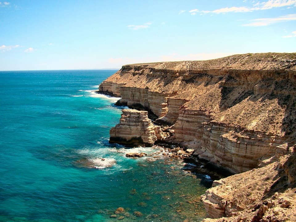
Four Ways Trail is a hard out-and-back from Z Bend carpark to a pool at the Murchison River gorge junction. The full mapped line covers about 7 km (4.35 miles) return; official guides give 5.6–6 km, so allow for the extra distance shown by the trail line. It follows a long gully down to where two gorges meet the river, with river gums and red-and-white rock walls. Set aside about four hours for the harder climb back. If you mainly want the Z Bend view, the separate 600 m lookout walk is a much shorter choice.
 Parkwolf’s verdictIs the full gorge walk for you?
Map & elevation
Plan your hike

The highest, rockiest slopes around here are a summer buffet for grizzly bears.
Kalbarri Tour Guide
Parkwolf is a GPS audio tour guide for Kalbarri National Park. As you drive, it chimes in with what’s ahead: hidden gems, upcoming stops, history, geology, and wildlife, right through your car’s speakers.
See the Kalbarri audio tourRecorded for this trailhead
Z Bend Lookout“You're coming up on Z Bend, where the Murchison makes a tight turn between red sandstone walls, with river gums far below.”
Plays as you drive up to this trailhead in the Parkwolf Kalbarri Tour Guide.
More stories near here in the app
“Fantastic app with many points of information… It’s great to just turn on while you’re driving and it gives you an audio tour of the national Park. We love it!!!!”


Trail guide
From the same visitor area as the lookout, follow the shared access toward the gorge, then take the marked Four Ways route down the long gully. The tread is loose and rocky in places, with patches of sand. This is a Class 4 bush walk, not a smooth path to the water. The descent is the easier half; coming back up is much tougher. Four Ways retraces its route. The steep, laddered Z Bend River Trail is a separate walk from the carpark, not an extension of this one.
The endpoint is a large pool where two gorges meet the Murchison River. River gums stand along the water beneath the red and pale sandstone walls. It is a good place to stop and take in how the channels join before turning back; the return climb starts from here.
Idinggada Yina, another name for this walk, loosely translates as “people’s trail” in Nhanda. The Nhanda are the traditional custodians and joint management partners of Kalbarri National Park. The Murchison has cut through the region’s banded gorge country over roughly 400 million years, and this route brings you down to the rock rather than viewing it only from above.
The rocky gorge is one place to keep an eye out for black-flanked rock wallabies. Kalbarri’s local population was brought back from near extinction in 2015, but a sighting is never guaranteed. Winter is the region’s wildflower season, adding another reason to take this walk slowly when the season is right.
Heat builds quickly in the gorge, and the harder uphill return makes very hot weather a poor time to hike. The park recommends considering a personal locator beacon for this remote walk. Pets are prohibited in Kalbarri National Park; 1080 baits are used in and around the area.
Wildlife
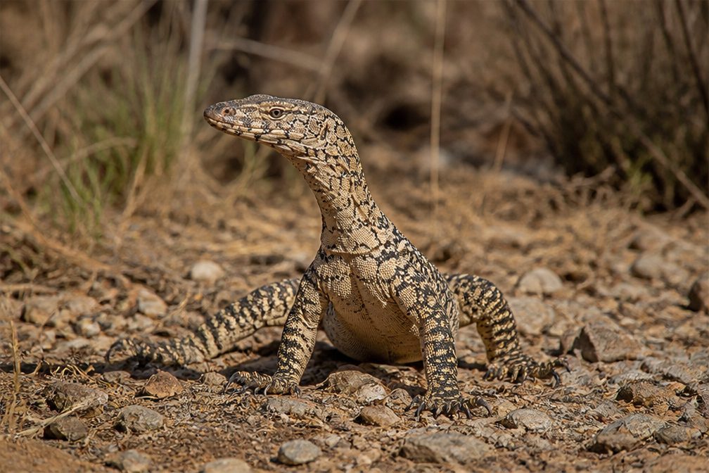 29 sightingsPerentieMost seen around 10 AMSighting map
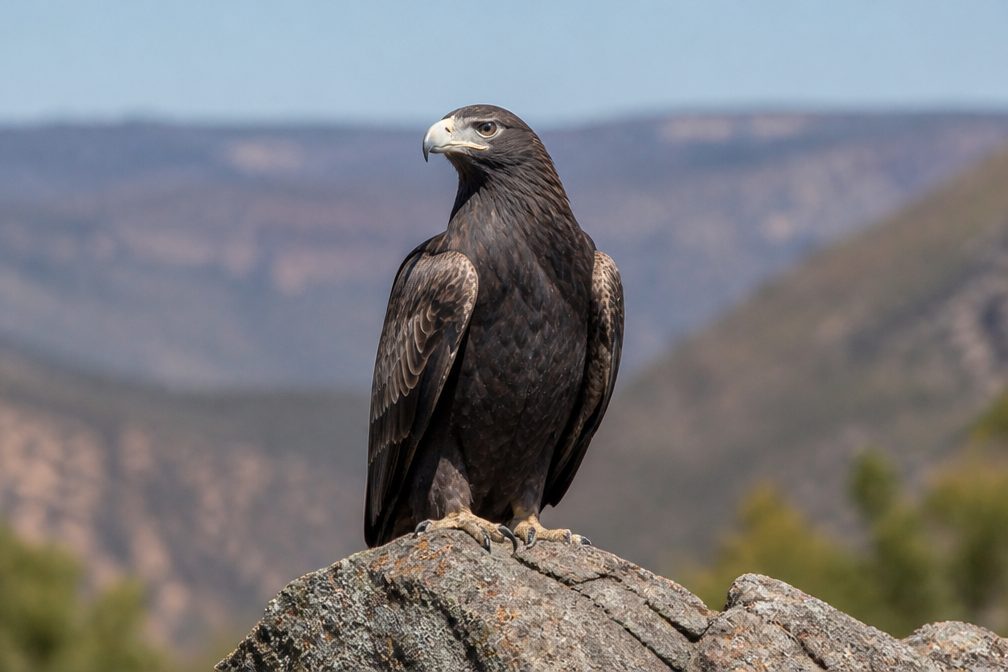 12 sightingsWedge-tailed EagleMost seen around 11 AMSighting map
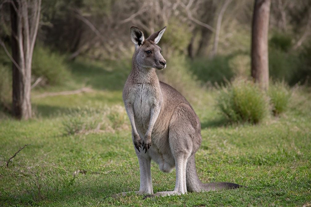 33 sightingsWestern Grey KangarooMost seen around 6 PMSighting map
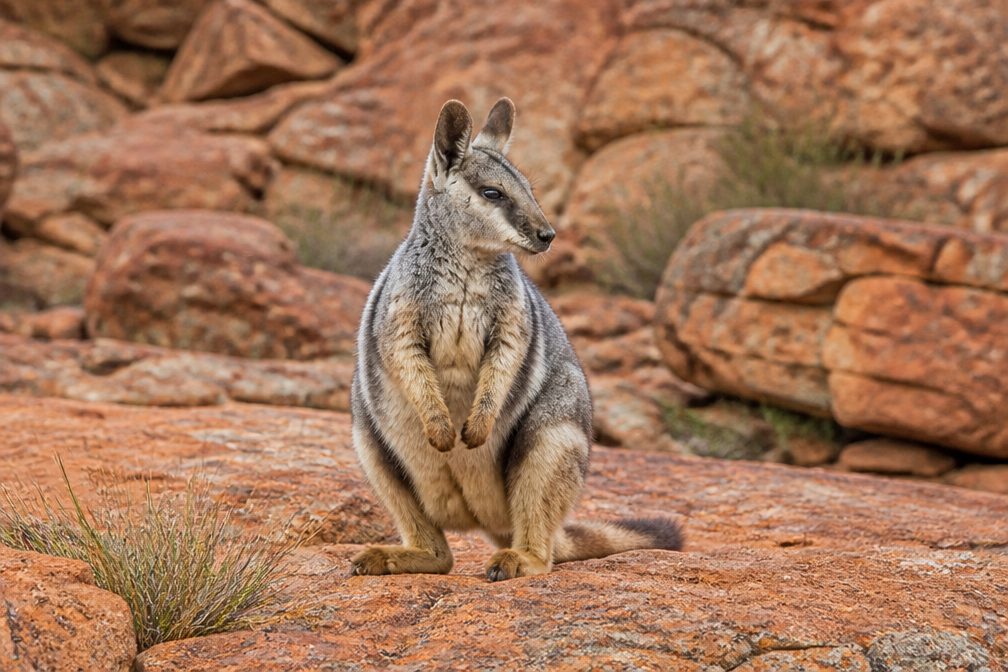 44 sightingsBlack-flanked Rock WallabyMost seen around 6 PMSighting map
 24 sightingsEmuMost seen around 8 AMSighting map
 23 sightingsEchidnaMost seen around 7 PMSighting map
Sighting maps show where each species has been reported across Kalbarri. Wildlife moves, so no sighting is guaranteed.
Keep exploring
 EasyZ Bend Lookout Trail1.2 km · 1 hr · 0.5 km awayA short walk to the Murchison's sharp river bend.
 ChallengingZ Bend River Trail2.6 km · 2 hr · 0.5 km awayA short, steep drop into the sandstone walls and river.
 ModerateNature’s Window Walk Trail1 km · 38 min · 10.8 km awayA short stair climb to the arch that frames the Murchison.ChallengingThe Loop Trail9 km · 4 hr · 10.8 km awayA rugged gorge circuit from sandstone window to river level.
 EasyKalbarri Skywalk0.7 km · 24 min · 11 km awayAn easy walk to twin platforms above the Murchison River gorge.
 EasyHawks Head Walk0.3 km · 15 min · 15.1 km awayA short, sealed return walk to a lookout above the Murchison.
 ModerateRoss Graham River Walk0.7 km · 30 min · 17.7 km awayA short, stepped descent to shaded Murchison River pools.
 EasyMeanarra Hill Lookout Walk0.3 km · 15 min · 24.1 km awayA 300 m paved return to Kalbarri’s town, river and ocean views.Sight · At the trailheadZ Bend LookoutA short walk ends above the river’s sharp sandstone bend.
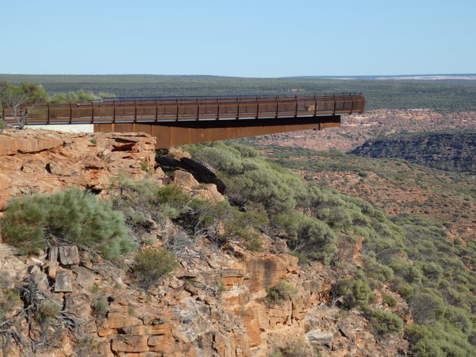 Sight · 11.2 km awayKalbarri SkywalkWalk out above the Murchison on two cantilevered decks.Sight · 11.2 km awayNature's WindowA sandstone opening frames the Murchison in a short, rocky walk.
 Sight · 15.1 km awayHawks Head LookoutA very short, accessible path to Kalbarri’s banded gorge.
Parkwolf’s Kalbarri ranking
The audio tour guide for the drive, plus offline maps, trails, and wildlife heatmaps for when the signal drops.