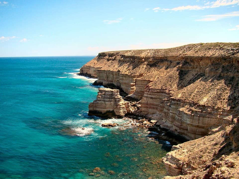
Parking
Start at Z Bend Lookout Carpark on Z Bend Road. Trailers, caravans and large motorhomes are prohibited on Nature’s Window/Z Bend Road.

#4 of 18 trails in Kalbarri
Kalbarri National Park, WA
A short, steep drop into the sandstone walls and river.
Overview
Map & elevation
Plan your hike

The highest, rockiest slopes around here are a summer buffet for grizzly bears.
Kalbarri Tour Guide
Parkwolf is a GPS audio tour guide for Kalbarri National Park. As you drive, it chimes in with what’s ahead: hidden gems, upcoming stops, history, geology, and wildlife, right through your car’s speakers.
See the Kalbarri audio tourRecorded for this trailhead
Z Bend Lookout“You're coming up on Z Bend, where the Murchison makes a tight turn between red sandstone walls, with river gums far below.”
Plays as you drive up to this trailhead in the Parkwolf Kalbarri Tour Guide.
More stories near here in the app
“Fantastic app with many points of information… It’s great to just turn on while you’re driving and it gives you an audio tour of the national Park. We love it!!!!”


Trail guide
Z Bend River Trail is a 2.6 km out-and-back from Z Bend Lookout Carpark to the Murchison River and back. Allow about two hours. It’s a Class 4 walk: short on the map, but steep and rough enough to be a serious outing. Do it for a close look at the sandstone gorge and a river-level finish. The biggest effort is getting back up the same ground after you’ve descended.
The trail starts from the lookout-carpark access and drops into the gorge. The ground gets rough: loose rock, ladders, tight passages and boulder scrambling. The trail returns the same way, so every steep step and ladder comes again on the climb back to the carpark. Direction signs may be limited; bring experience on rough trails and leave time for the return effort. This is a proper scramble in places, not a smooth path that happens to be steep.
At the bottom, the route reaches the Murchison River among boulders and river red gums. This is river access, not another high lookout; the payoff is being inside the layered sandstone walls with the water close by. If you stop at the edge, take care around the rock shelves: some can be hidden under the water. Swimming may be possible when conditions allow, but don’t dive. For a photo, frame the river between the walls so the narrow channel stays in the picture.
Z Bend is named for the tight turns the Murchison has cut through Tumblagooda Sandstone. The rock formed about 400 million years ago, and erosion has opened its layers into the gorge you walk through today. Look for the red and pale bands in the walls rather than just the river; they make the layered gorge easier to read from close up.
Winter and spring are the best time to look for wildflowers; the endemic Kalbarri Spider Orchid, Pink Poker, Flame Grevillea and starflowers are among the species recorded along the walk. The best flower period is roughly July to October, but nothing is guaranteed on a particular visit. It’s a different side of Z Bend from the rock and river, and worth noticing if you’re there in bloom.
The separate 1.2 km lookout walk stays above the river and is the shorter choice if you mainly want the view. The 6 km Four Ways Trail is a distinct, longer descent in the same precinct; don’t fold it into this route. National Park entry fees apply. Z Bend has toilets and picnic/BBQ facilities, but there’s no drinking water in the park. Dogs aren’t allowed in Kalbarri National Park.
Wildlife
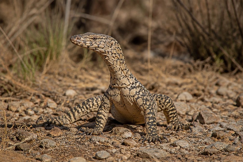 29 sightingsPerentieMost seen around 10 AMSighting map
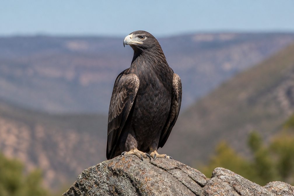 12 sightingsWedge-tailed EagleMost seen around 11 AMSighting map
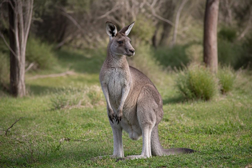 33 sightingsWestern Grey KangarooMost seen around 6 PMSighting map
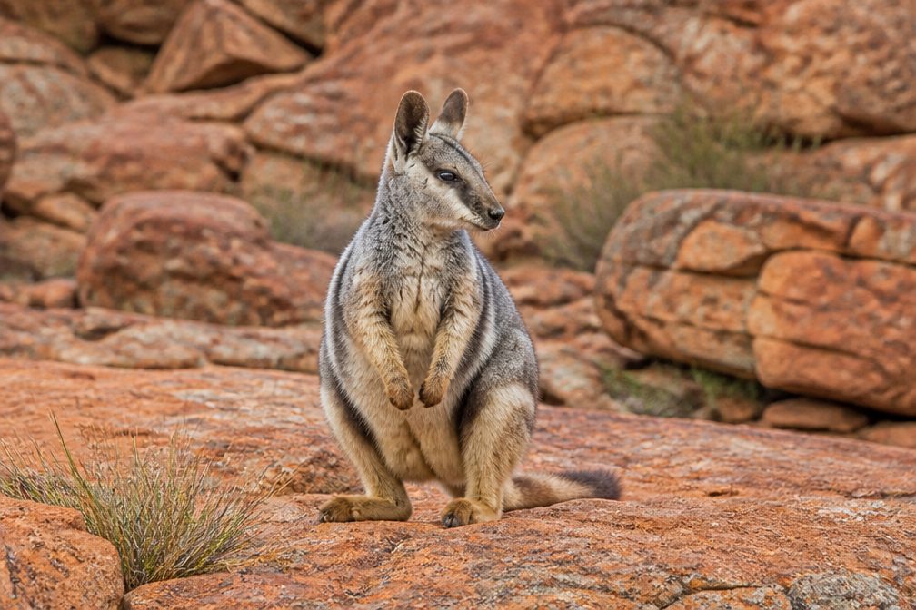 44 sightingsBlack-flanked Rock WallabyMost seen around 6 PMSighting map
 24 sightingsEmuMost seen around 8 AMSighting map
 23 sightingsEchidnaMost seen around 7 PMSighting map
Sighting maps show where each species has been reported across Kalbarri. Wildlife moves, so no sighting is guaranteed.
Keep exploring
 EasyZ Bend Lookout Trail1.2 km · 1 hr · At the trailheadA short walk to the Murchison's sharp river bend.
 ChallengingFour Ways Trail7 km · 4 hr · 0.5 km awayA hard descent to the quiet pool at Four Ways.
 ModerateNature’s Window Walk Trail1 km · 38 min · 10.3 km awayA short stair climb to the arch that frames the Murchison.ChallengingThe Loop Trail9 km · 4 hr · 10.3 km awayA rugged gorge circuit from sandstone window to river level.
 EasyKalbarri Skywalk0.7 km · 24 min · 10.5 km awayAn easy walk to twin platforms above the Murchison River gorge.
 EasyHawks Head Walk0.3 km · 15 min · 15.6 km awayA short, sealed return walk to a lookout above the Murchison.
 ModerateRoss Graham River Walk0.7 km · 30 min · 18.1 km awayA short, stepped descent to shaded Murchison River pools.
 EasyMeanarra Hill Lookout Walk0.3 km · 15 min · 24 km awayA 300 m paved return to Kalbarri’s town, river and ocean views.Sight · 0.5 km awayZ Bend LookoutA short walk ends above the river’s sharp sandstone bend.
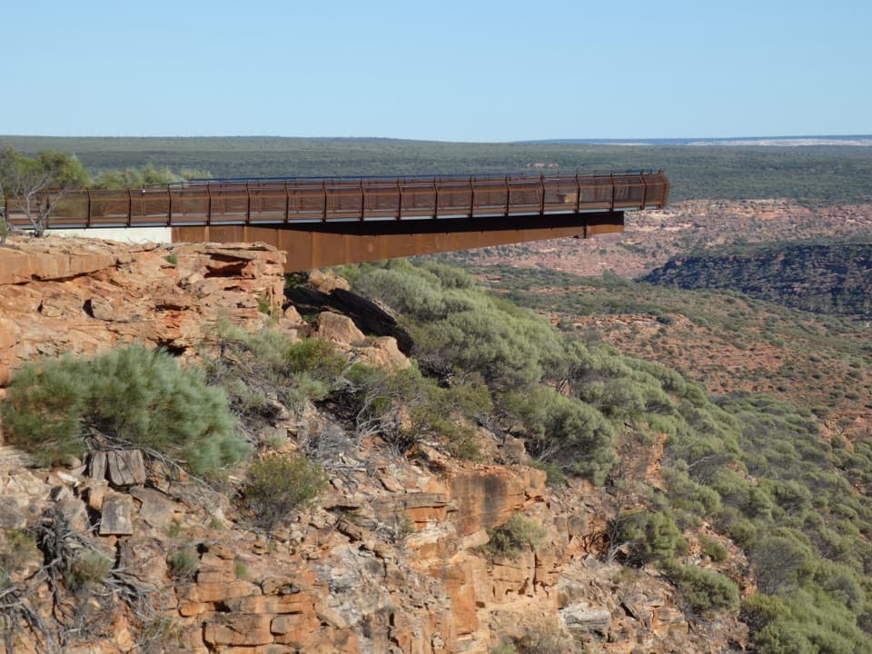 Sight · 10.7 km awayKalbarri SkywalkWalk out above the Murchison on two cantilevered decks.Sight · 10.7 km awayNature's WindowA sandstone opening frames the Murchison in a short, rocky walk.
 Sight · 15.6 km awayHawks Head LookoutA very short, accessible path to Kalbarri’s banded gorge.
Parkwolf’s Kalbarri ranking

The audio tour guide for the drive, plus offline maps, trails, and wildlife heatmaps for when the signal drops.