Parking
Start at Eagle Gorge Lookout Carpark, about 6 km south of Kalbarri townsite. Arrange a drop-off here and a pickup at Natural Bridge Lookout; this is a point-to-point walk.
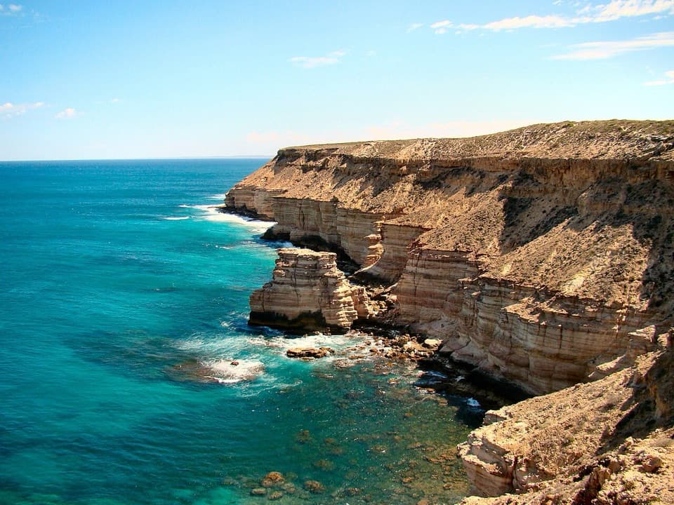
#5 of 18 trails in Kalbarri
Kalbarri National Park, WA
Eight coastal kilometres, with Island Rock and Natural Bridge en route.
Overview
Map & elevation
Plan your hike

The highest, rockiest slopes around here are a summer buffet for grizzly bears.
Kalbarri Tour Guide
Parkwolf is a GPS audio tour guide for Kalbarri National Park. As you drive, it chimes in with what’s ahead: hidden gems, upcoming stops, history, geology, and wildlife, right through your car’s speakers.
See the Kalbarri audio tourRecorded for this trailhead
Eagle Gorge“Eagle Gorge is coming up, with a short, paved path to a lookout over the red cliffs and ocean. It's an easy coastal stop without taking on the beach descent.”
Plays as you drive up to this trailhead in the Parkwolf Kalbarri Tour Guide.
More stories near here in the app
“Fantastic app with many points of information… It’s great to just turn on while you’re driving and it gives you an audio tour of the national Park. We love it!!!!”


Trail guide
Bigurda Trail is an 8 km one-way point-to-point walk along Kalbarri’s Indian Ocean cliffs, from Eagle Gorge in the north to Natural Bridge in the south. The usual itinerary is southbound: arrange a drop-off at Eagle Gorge Lookout Carpark and a pickup at Natural Bridge. Allow three to five hours for the walk and its lookouts; walking back makes it about 16 km. This is a half-day on foot, with a changing sequence of cliffs and offshore views rather than one summit at the end.
The trail does not form a loop, so line up your lift before setting out. Between the two ends it passes Shell House and Grandstand Rock Gorge, then Island Rock, before reaching Natural Bridge. If you only want a shorter coastal stroll, the Bigurda Boardwalk is a separately named 1.2 km return walk between Island Rock and Natural Bridge. It is a useful southern-end alternative, not the full Bigurda Trail.
The north end starts on sandy ground through low coastal heath. Farther along, the path becomes rocky and uneven, with loose stones in places near the clifftops. Expect exposed walking and repeated small rises and dips, not a flat promenade; the route is graded moderate and the footing calls for steady attention. Give yourself the full three to five hours rather than planning around the fastest reported pace. Carry water and food for the traverse. The optional stepped descent from Eagle Gorge Lookout to the beach is a separate, steep rocky spur; swimming there is discouraged because the swell can be dangerous.
Shell House and Grandstand Rock Gorge are names for a terraced sandstone face whose ledges resemble a shell-shaped house when seen from offshore. It makes a good pause halfway along the route, and the warm light around sunset can bring out the layers. Near the southern end, Island Rock is a sea stack left offshore as the coastline eroded around it. From its lookout, include the stack, the cliff edge and the water together to show how it sits apart from shore. At Natural Bridge, an enclosed lookout gives a close view of another wave-cut opening in the coast.
Bigurda is the Nanda word for a small kangaroo, the euro. A euro has been reported near the coastal cliffs, but wildlife sightings are never guaranteed. The coastal heath is known for winter and spring wildflowers. Humpback whales pass along this coast during their winter-to-spring migration, and dolphins or seabirds may also be visible offshore; stop at a lookout and scan the water rather than expecting a sighting on schedule.
At the southern end, Natural Bridge’s lookout is a short walk from the parking area. Toilets and a picnic shelter are available there, near the finish, rather than along the full traverse. Pack what you need before the drop-off, and keep enough time to enjoy the final rock formations instead of rushing straight back to the car.
Wildlife
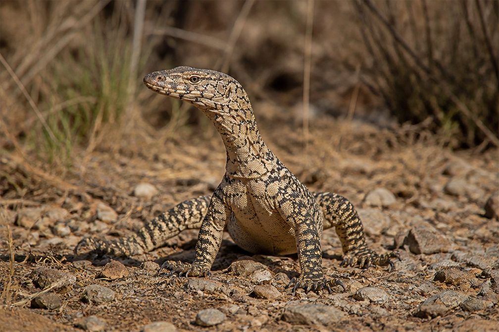 29 sightingsPerentieMost seen around 10 AMSighting map
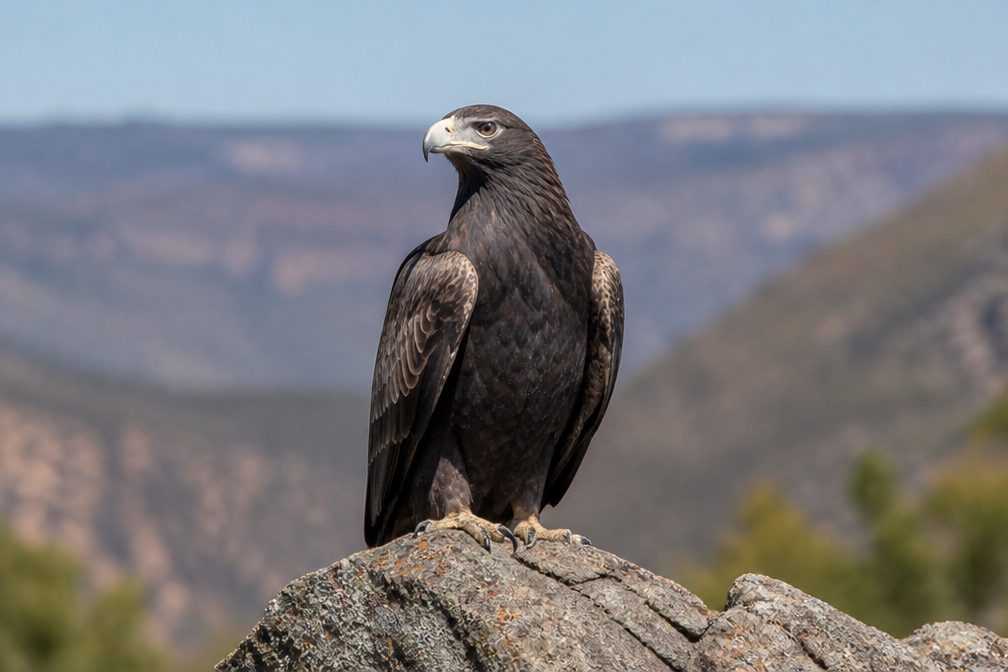 12 sightingsWedge-tailed EagleMost seen around 11 AMSighting map
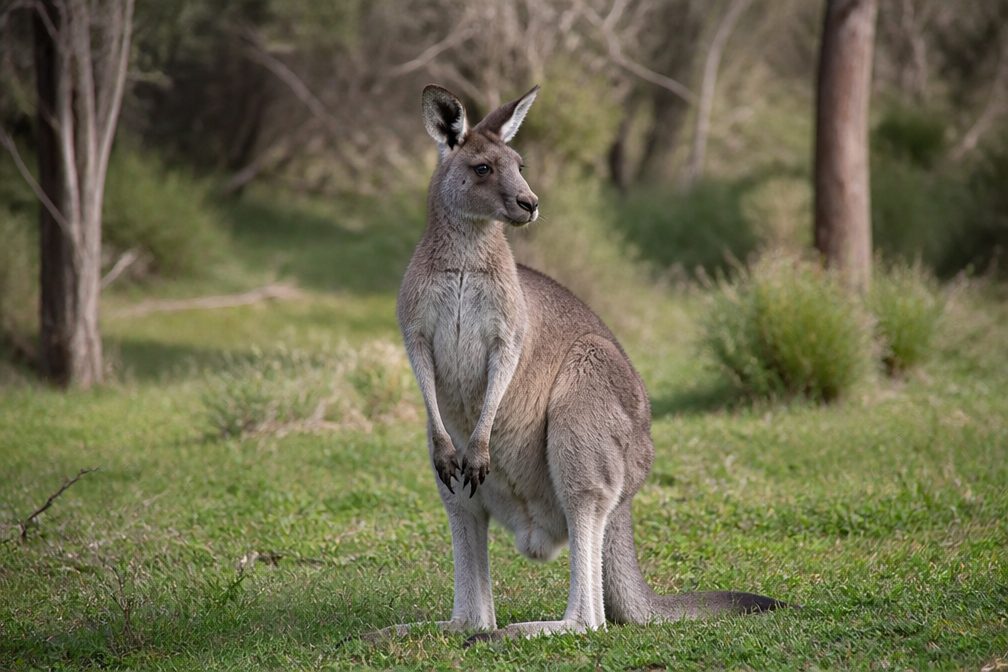 33 sightingsWestern Grey KangarooMost seen around 6 PMSighting map
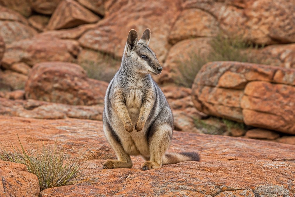 44 sightingsBlack-flanked Rock WallabyMost seen around 6 PMSighting map
 24 sightingsEmuMost seen around 8 AMSighting map
 23 sightingsEchidnaMost seen around 7 PMSighting map
Sighting maps show where each species has been reported across Kalbarri. Wildlife moves, so no sighting is guaranteed.
Keep exploring
 EasyEagle Gorge Lookout Walk0.3 km · 10 min · 0.2 km awayA short paved path opens to red cliffs and the Indian Ocean.
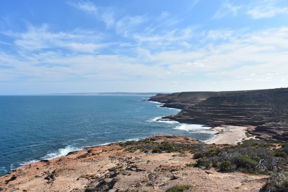 ModerateEagle Gorge Beach Trail1 km · 45 min · 0.2 km awayA small beach at the end of a steep sandstone descent.
 ModeratePot Alley Beach Trail0.5 km · 20 min · 0.7 km awayStepped sandstone down to the beach, about 465 m return.
 ModerateMushroom Rock Trail2.4 km · 1 hr · 2 km awayA rocky coastal loop through fossil-rich Kalbarri sandstone.
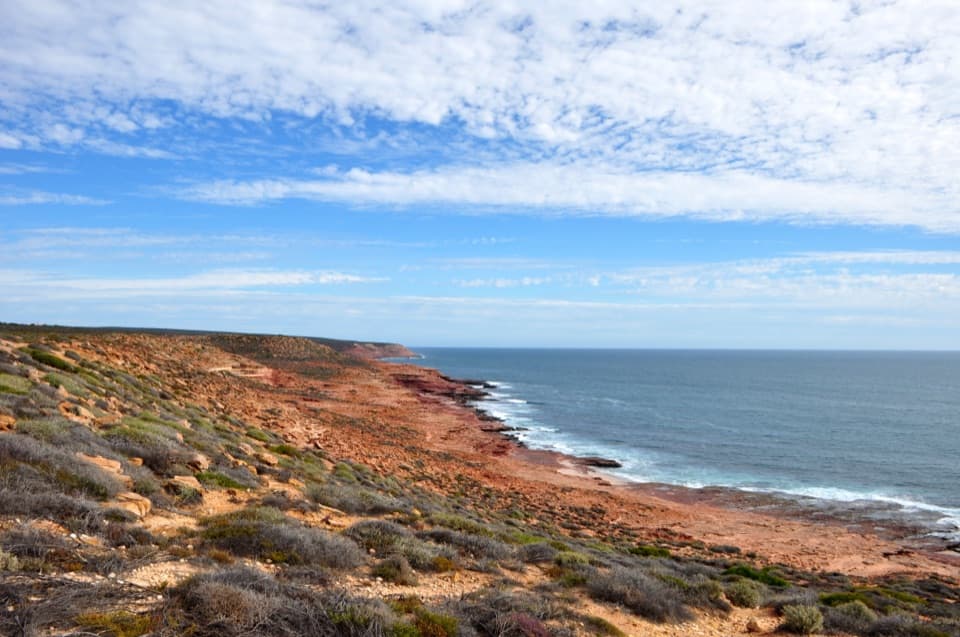 EasyRed Bluff Lookout Walk1.1 km · 20 min · 2.3 km awayTwo coastal lookouts on an easy, sealed 0.7-mile return walk.
 ModerateRed Bluff to Beach Trail1.3 km · 45 min · 2.5 km awayA short, steep descent opens onto Red Bluff Beach.
 EasyNatural Bridge to Island Rock1.8 km · 1 hr · 7 km awayAn easy coast walk to a sculpted sandstone sea stack.
 ModerateMalleefowl Trail1.6 km · 45 min · 11.6 km awayA rocky coastal-heath loop with a chance to spot malleefowl.
 Sight · At the trailheadEagle GorgeA coastal lookout with steep switchbacks to the beach below.
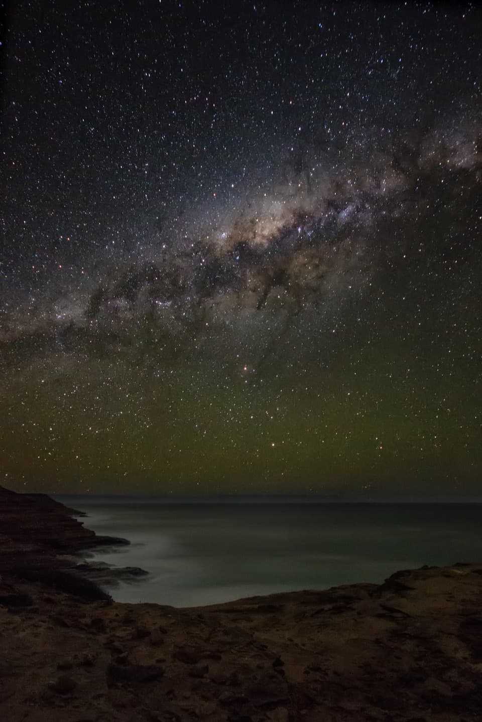 Sight · 0.7 km awayPot AlleyA quick cliffside stop, or a steep little hike to the cove.
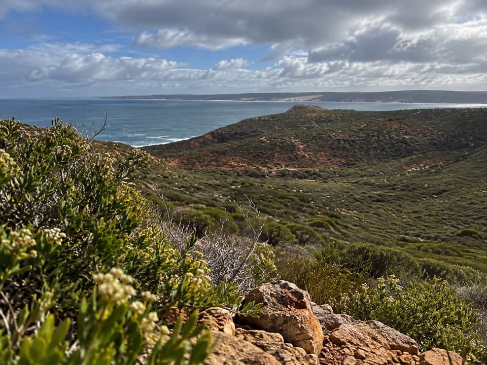 Sight · 1.4 km awayRainbow ValleyRed-and-white bands meet open cliffs above the Indian Ocean.
 Sight · 1.8 km awayMushroom RockRed sandstone shelves make the rugged coastal circuit worthwhile.Sight · 2.6 km awayRed BluffAn easy sealed walk opens onto red cliffs above the Indian Ocean.
 Beach · 3.3 km awayRed Bluff BeachPale sand, red cliffs and turquoise water, especially near sunset.
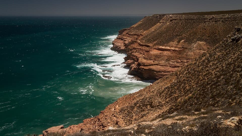 Sight · 3.9 km awayShell House and Grandstand Rock GorgeThe shell-shaped cliff got its name from fishermen at sea.Sight · 6.4 km awayIsland RockA sea stack once attached to shore, reached on an easy walk.
Parkwolf’s Kalbarri ranking

The audio tour guide for the drive, plus offline maps, trails, and wildlife heatmaps for when the signal drops.


