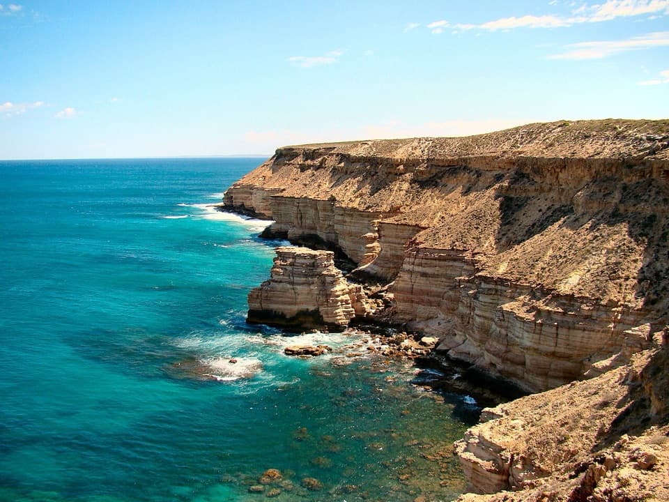
Parking
Use Z Bend carpark off the signed Z Bend access road. Caravans and trailers are not permitted at this access.

#6 of 18 trails in Kalbarri
Kalbarri National Park, WA
A short walk to the Murchison's sharp river bend.
Overview
Map & elevation
Plan your hike

The highest, rockiest slopes around here are a summer buffet for grizzly bears.
Kalbarri Tour Guide
Parkwolf is a GPS audio tour guide for Kalbarri National Park. As you drive, it chimes in with what’s ahead: hidden gems, upcoming stops, history, geology, and wildlife, right through your car’s speakers.
See the Kalbarri audio tourRecorded for this trailhead
Z Bend Lookout“You're coming up on Z Bend, where the Murchison makes a tight turn between red sandstone walls, with river gums far below.”
Plays as you drive up to this trailhead in the Parkwolf Kalbarri Tour Guide.
More stories near here in the app
“Fantastic app with many points of information… It’s great to just turn on while you’re driving and it gives you an audio tour of the national Park. We love it!!!!”


Trail guide
Z Bend Lookout Trail is a 1.2 km out-and-back from Z Bend carpark to a lookout above the Murchison River. The viewpoint is about 600 m from parking, and the return follows the same path. Allow about an hour for the Class 3 walk and time at the deck. The route drops roughly 38 m from the carpark to the lookout, so most of the return effort comes on the way back uphill. This is the compact way to see the sharp river bend without taking the separate descent to the water.
The route starts beside the carpark and follows an unpaved path across low scrub toward the gorge. Near the lookout, short rock and timber footway sections lead to the viewing area. Expect uneven ground and some steps; the short distance does not make it a paved stroll. There is little shade on the approach, so the open stretch can feel exposed on a warm day. The path ends at the rim lookout. It does not continue down to the river.
The lookout sits above a sharp turn in the Murchison River, with the river and the red, layered walls of the Tumblagooda Sandstone gorge in view. The river has cut these tight turns through the sandstone; from the deck, the water curls around the rock and reappears on the other side. For a photo, include both visible parts of the bend and some of the opposite cliff so the curve and the depth of the gorge read together. The main payoff is the shape of the river against the long sandstone layers, not a walk along the water.
A toilet and lookout deck are listed at the Z Bend access; picnic tables and barbecue grills are also reported there. Caravans and trailers are not permitted at this access, and pets are not allowed in Kalbarri National Park. Stay on the formed path and viewing deck at the gorge edge.
The Z Bend River Trail is a different route from the same area. It descends to the river through rougher terrain, with ladders and steep sections; the park guide lists it as 2.6 km return, Class 4, and about two hours. Choose the lookout walk for the rim view and shorter commitment. Take the river trail only if you want the more demanding descent and are ready for its ladders.
Wildlife
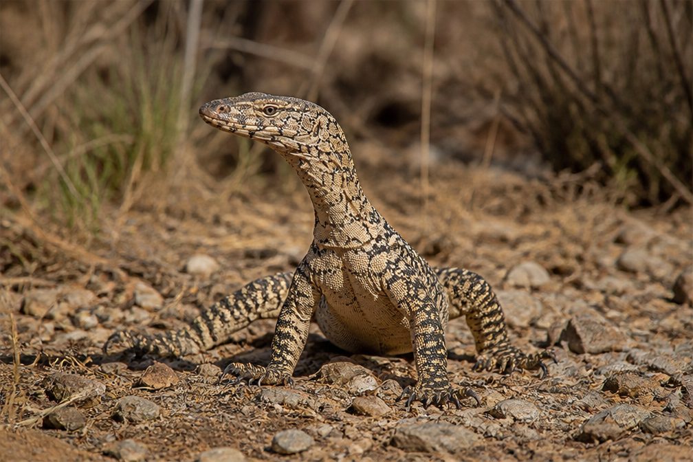 29 sightingsPerentieMost seen around 10 AMSighting map
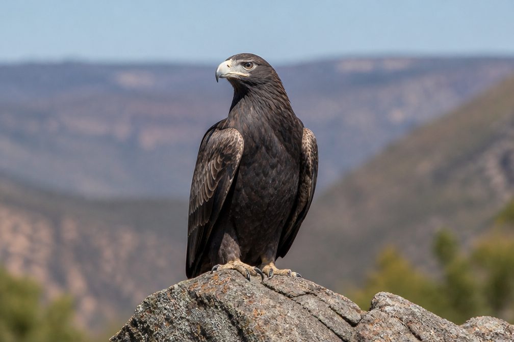 12 sightingsWedge-tailed EagleMost seen around 11 AMSighting map
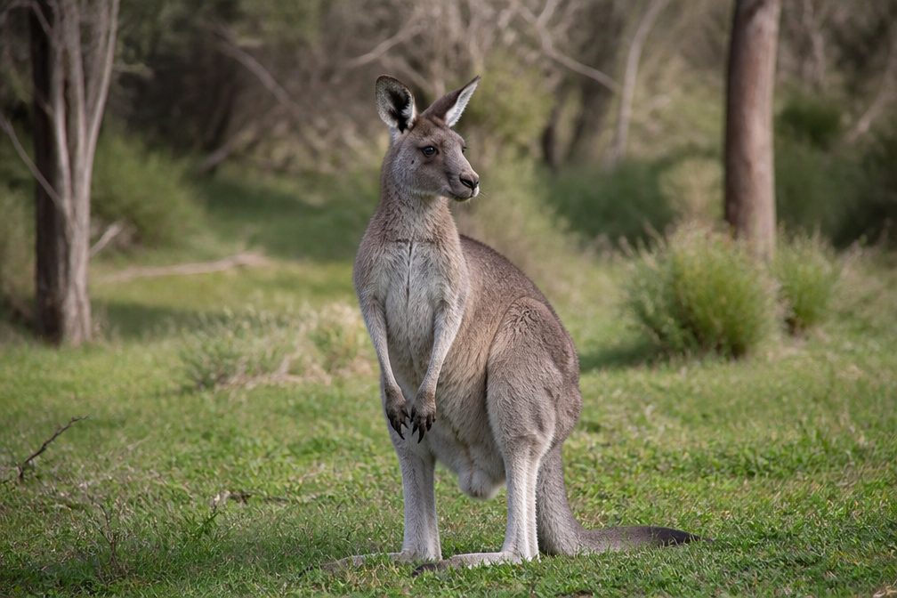 33 sightingsWestern Grey KangarooMost seen around 6 PMSighting map
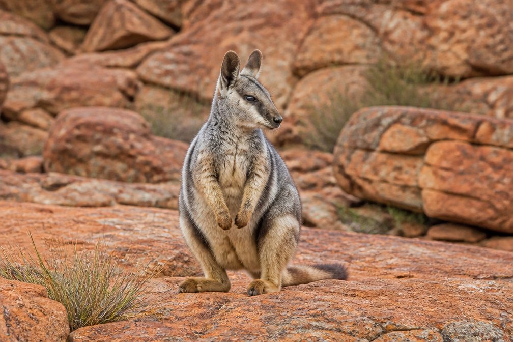 44 sightingsBlack-flanked Rock WallabyMost seen around 6 PMSighting map
 24 sightingsEmuMost seen around 8 AMSighting map
 23 sightingsEchidnaMost seen around 7 PMSighting map
Sighting maps show where each species has been reported across Kalbarri. Wildlife moves, so no sighting is guaranteed.
Keep exploring
 ChallengingZ Bend River Trail2.6 km · 2 hr · At the trailheadA short, steep drop into the sandstone walls and river.
 ChallengingFour Ways Trail7 km · 4 hr · 0.5 km awayA hard descent to the quiet pool at Four Ways.
 ModerateNature’s Window Walk Trail1 km · 38 min · 10.3 km awayA short stair climb to the arch that frames the Murchison.ChallengingThe Loop Trail9 km · 4 hr · 10.3 km awayA rugged gorge circuit from sandstone window to river level.
 EasyKalbarri Skywalk0.7 km · 24 min · 10.5 km awayAn easy walk to twin platforms above the Murchison River gorge.
 EasyHawks Head Walk0.3 km · 15 min · 15.6 km awayA short, sealed return walk to a lookout above the Murchison.
 ModerateRoss Graham River Walk0.7 km · 30 min · 18.1 km awayA short, stepped descent to shaded Murchison River pools.
 EasyMeanarra Hill Lookout Walk0.3 km · 15 min · 24.1 km awayA 300 m paved return to Kalbarri’s town, river and ocean views.Sight · 0.5 km awayZ Bend LookoutA short walk ends above the river’s sharp sandstone bend.
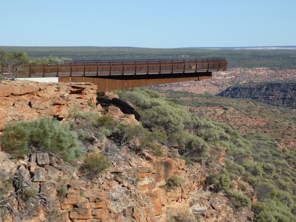 Sight · 10.7 km awayKalbarri SkywalkWalk out above the Murchison on two cantilevered decks.Sight · 10.7 km awayNature's WindowA sandstone opening frames the Murchison in a short, rocky walk.
 Sight · 15.6 km awayHawks Head LookoutA very short, accessible path to Kalbarri’s banded gorge.
Parkwolf’s Kalbarri ranking

The audio tour guide for the drive, plus offline maps, trails, and wildlife heatmaps for when the signal drops.