Pros & cons
PROS
- Stark, otherworldly volcanic scenery from the 1912 Novarupta eruption
- Strategic base area for reaching Novarupta and the Valley of Ten Thousand Smokes
CONS
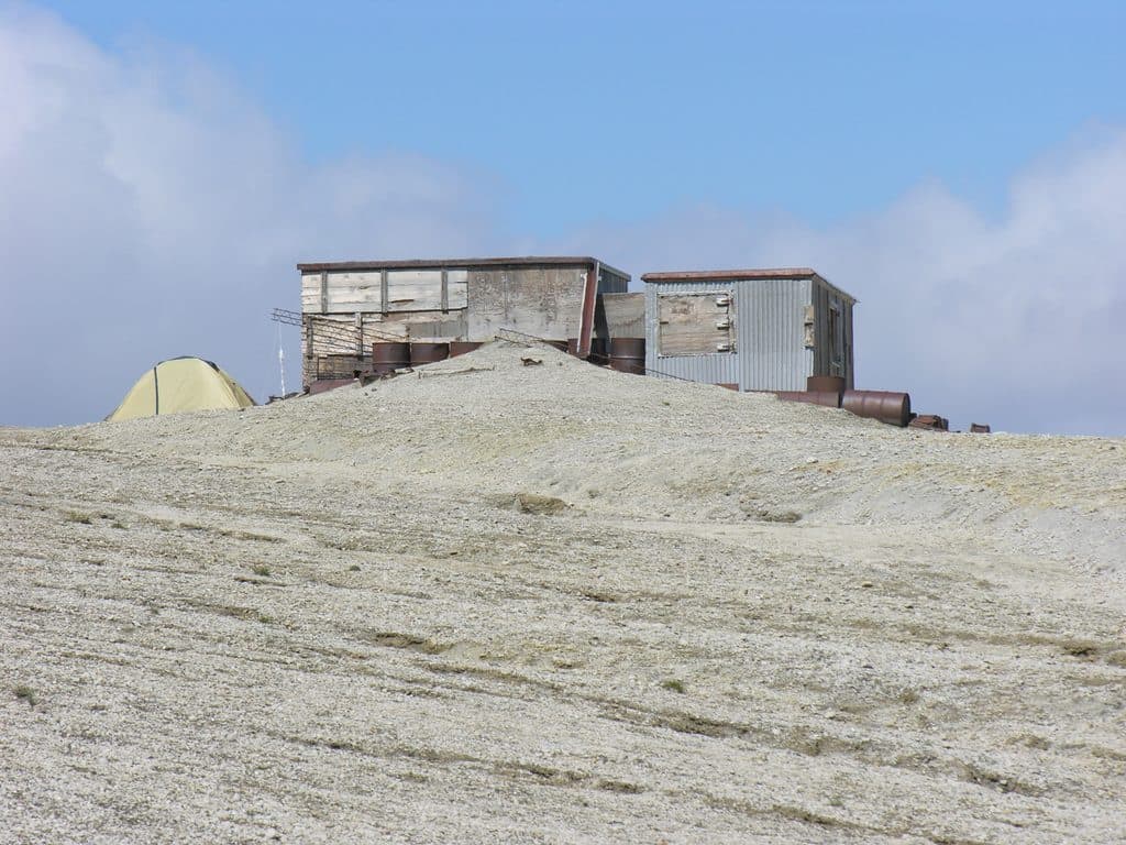
- No facilities or shelter; former huts were destroyed and are not usable
- High winds, loose pumice, scarce water by late summer, and hazardous river canyons
Overview
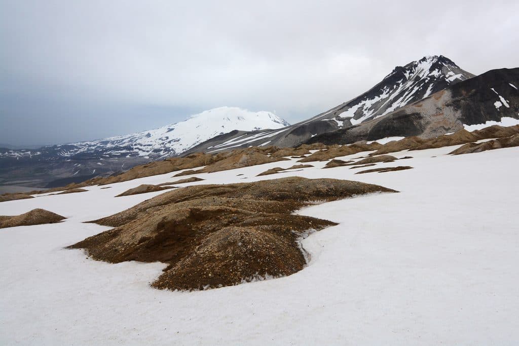
Baked Mountain sits on the south side of the Valley of Ten Thousand Smokes, the ash‑ and pumice‑filled landscape born from the 1912 Novarupta eruption. That cataclysm collapsed the summit of nearby Mount Katmai into a massive caldera and left behind a stark, lunar feel here—big sky, loose pumice underfoot, and a lot of wind.
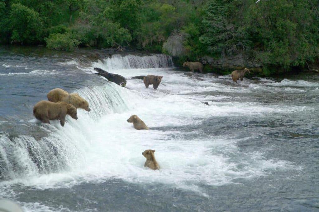
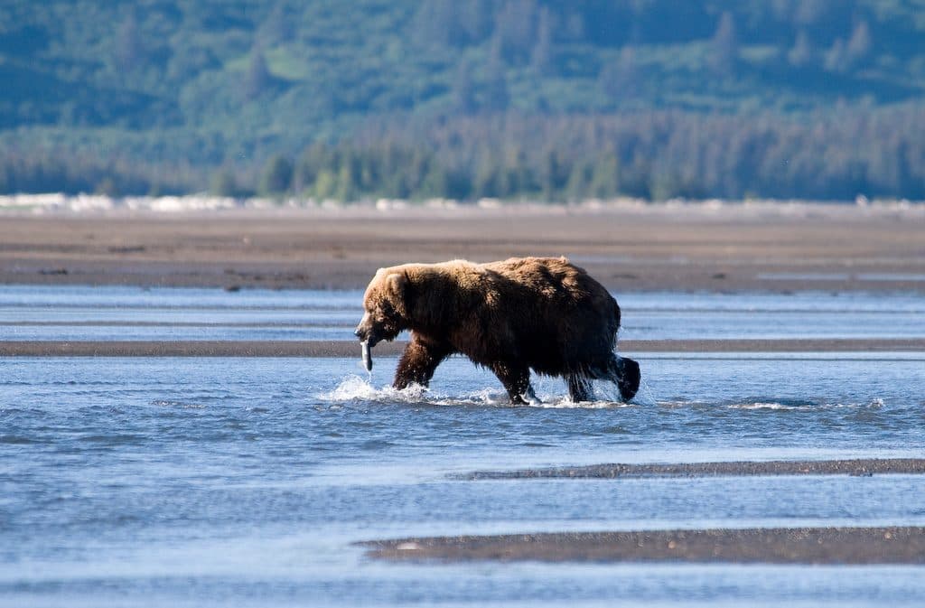
Expect solitude and austerity more than wildlife; compared with salmon rivers and the coast, the valley’s core offers limited forage, so bear sightings are less frequent. It’s a place for geology lovers and seasoned backcountry travelers who want to stand in the heart of one of the 20th century’s great volcanic stories.
What You’ll See
From Baked Mountain, classic day objectives include the Novarupta lava dome and its crater fumaroles, plus open walking toward Katmai Pass and the Mageik Creek area when snow‑free. Ambitious parties can scout distant viewpoints toward the Mount Katmai caldera (the rim itself requires glacier travel and advanced mountaineering skills). Underfoot is ankle‑grabbing ash and pumice; on a windy day, that stuff can blow like ground blizzard.
Getting There & Seasonality
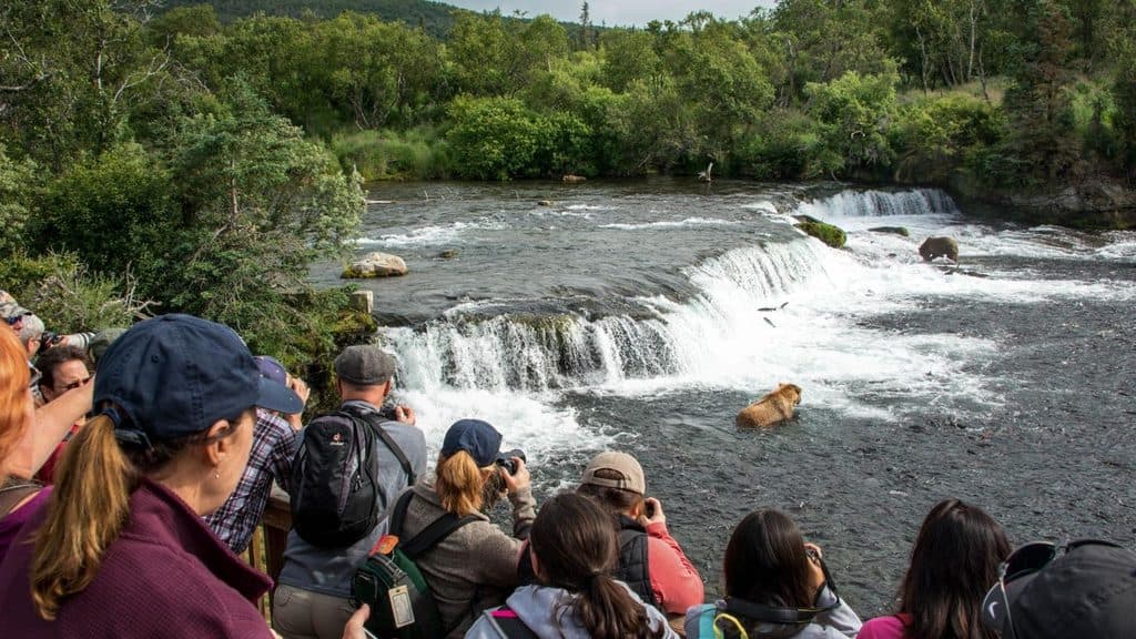
In summer, most people reach the valley via Brooks Camp to the Three Forks area and then hike in. Conditions run the gamut—loose pumice and ash, cold wind even in July, and rivers that can become difficult or impossible to ford after rain or melt pulses. In winter and spring, only experienced parties should consider traverses; expect sastrugi, windboard, ash‑over‑snow that can stop skis, and fast‑moving storms.

Hazards to Respect
- Wind and blowing pumice are routine; secure everything and protect your eyes.
- River canyons are serious terrain. The Lethe River is deeply incised with sieve‑like sections; Katmai River Canyon demands careful route‑finding even in low flows.
- Water can be scarce by August, and silty sources can clog filters. Plan for high capacity, a prefilter, and robust treatment.
- There is no shelter or services. The old Baked Mountain huts were destroyed in a 2018 storm and should not be relied on.
- Any attempt to reach the Mount Katmai caldera via glacier requires crevasse skills, partners, and full rescue gear.
Wildlife Notes
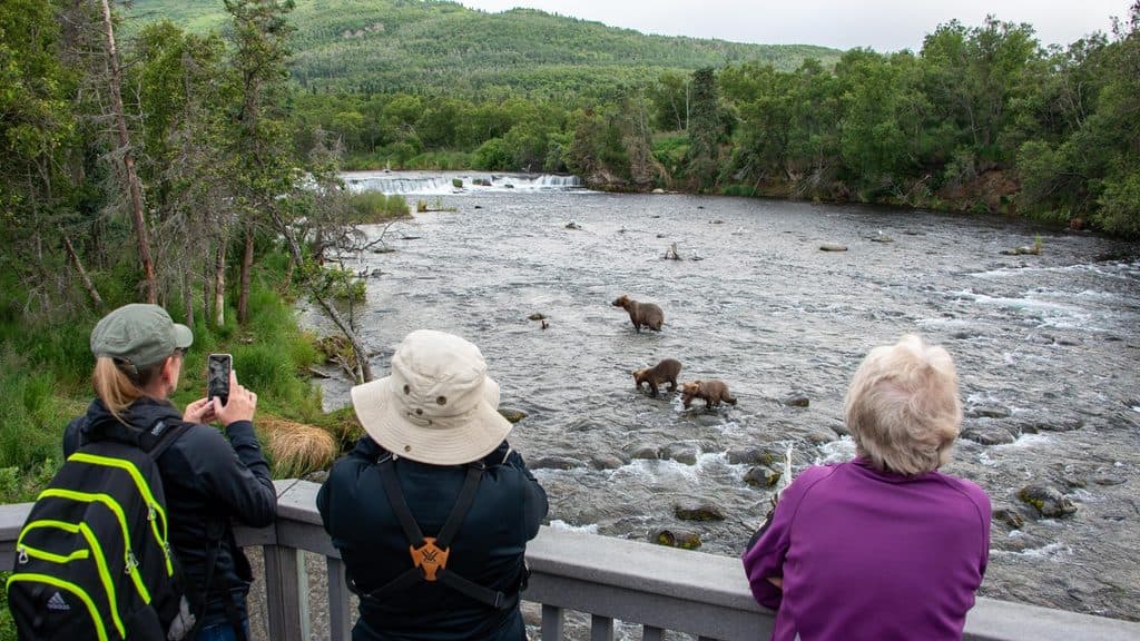
You’ll likely see fewer animals out on the ash plain than along salmon streams. Still, follow standard bear safety everywhere: carry food in bear‑resistant containers (you can borrow canisters at King Salmon and Brooks Camp visitor centers) and maintain clean camps.
Best Time to Visit
Mid‑summer offers the most straightforward access and generally snow‑free travel. Plan full‑day windows for objectives like Novarupta to account for weather and river levels. By late summer, factor in water scarcity. Winter and spring travel here are advanced endeavors only, with highly variable conditions year to year.
Where it is
58.2814, -155.1900Tips for Baked Mountain
- 01Do not plan on huts; bring a full backcountry shelter system.
- 02In summer, reach the area via Brooks Camp to Three Forks and hike in; confirm current operations before you go.
- 03Carry high water capacity, a prefilter for silt, and reliable treatment—water can be scarce by August.
- 04Avoid the Lethe River and other incised canyons unless you have a solid plan for safe crossings.
- 05If eyeing any glacier travel toward the caldera, bring partners and full crevasse‑rescue gear.
Near Baked Mountain
All places →All trails →
1.6 mi awayNovarupta1912 eruption vent capped by a rhyolite dome in ash desert
4.5 mi awayTrident VolcanoRemote three-peaked volcano best by VTS bus or flightseeing
6.2 mi awayMount GriggsRemote stratovolcano with active fumaroles and serious backcountry commitment
6.4 mi awayMount MageikRemote, glacier-clad volcano best seen from the Valley Overlook
28.6 mi awayBrooks River Elevated BoardwalkElevated stroll to world-class bear viewing on the Brooks RiverEasy · 2.2 mi · 1 hr
Brooks Falls TrailShort, flat walk to world-class brown bear viewing platformsEasy · 1.2 mi · 30 min
Dumpling Mountain TrailBig Brooks Camp views, real tundra, and real bear countryChallenging · 8 mi · 5.3 hr
Cultural Site TrailA flat, 0.5-mile walk to a reconstructed Alutiiq home by Brooks River.Easy · 0.5 mi · 15 min