Parking
No road access or public parking; arrive by plane or boat at Brooks Camp and start near the Brooks Camp Visitor Center.
#2 of 4 trails in Katmai
Katmai National Park, AK
Easy Brooks Camp boardwalk and trail walk to bear viewing at Brooks Falls
Overview
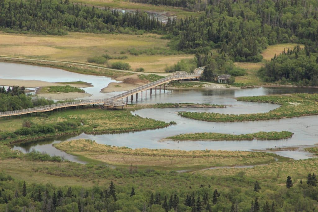
Brooks River Elevated Boardwalk is an easy, mostly level visitor route from the Brooks Camp Visitor Center to the Brooks Falls viewing area. It links camp-side paths and wooden boardwalk sections with the Brooks Falls Trail, ending at the Falls Platform beside Brooks River. Brown bears gather along the river to feed on sockeye salmon.
Map & elevation
Plan your hike

The highest, rockiest slopes around here are a summer buffet for grizzly bears.
Katmai Tour Guide
Parkwolf is a GPS audio tour guide for Katmai National Park. As you drive, it chimes in with what’s ahead: hidden gems, upcoming stops, history, geology, and wildlife, right through your car’s speakers.
Recorded for this trailhead
Arriving at Brooks Camp, Katmai's Bear Viewing Hub“You're approaching Brooks Camp, the main hub for bear viewing and history in Katmai.”
Plays as you drive up to this trailhead in the Parkwolf Katmai Tour Guide.
More stories near here in the app
“Fantastic app with many points of information… It’s great to just turn on while you’re driving and it gives you an audio tour of the national Park. We love it!!!!”


Trail guide
The mapped corridor is about 1.22 miles one way; the National Park Service lists the Visitor Center-to-Brooks Falls Platform walk as 1.2 miles one way, or about 2.4 miles total out-and-back. The route begins near the visitor center, follows Brooks Camp paths and elevated boardwalks past the South and North Platform area, then follows Brooks Falls Trail west to the Falls Platform. The stored line is the one-way corridor; the listed distance and duration are for the full out-and-back visitor experience. Surfaces include natural tread, gravel, and wooden boardwalk, with short grades along the approach. Allow extra time for bear right-of-way, gate controls, or waits at the Falls Platform.
There is no road access or public parking at Brooks Camp; arrive by plane or boat and start near the visitor center. National Park Service information notes that unpaved trails can be muddy and most facilities are wheelchair accessible, but bear encounters may require leaving the trail. Bears have priority: follow ranger instructions, keep at least 50 yards away, never approach or feed wildlife, and close gates. A bear-safety briefing is provided on arrival. Viewing-platform access and hours can be seasonally managed; check current park conditions.
Brooks Camp has four viewing platforms along the river. The Falls Platform is the destination of this route; Riffles, South, and North Platforms are nearby viewing options. July is peak salmon and bear-viewing season, and waits can be longest around midday.
Most visitors arrive at Brooks Camp by float plane or boat, then walk from the visitor center. There is no road access to the camp.
Wildlife
 752 sightingsBrown BearMost seen around 7 PMSighting map
 55 sightingsSockeye SalmonMost seen around 11 AMSighting map
 15 sightingsWolfMost seen around 9 PMSighting map
 68 sightingsBald EagleMost seen around 5 PMSighting map
 17 sightingsMooseMost seen around 6 AMSighting map
 19 sightingsBelted KingfisherMost seen around 7 AMSighting map
Sighting maps show where each species has been reported across Katmai. Wildlife moves, so no sighting is guaranteed.
Keep exploring
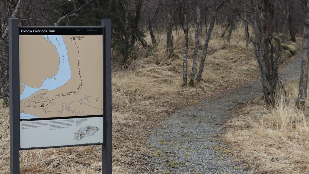 EasyCultural Site Trail0.5 mi · 15 min · 0.1 mi awayA flat, wheelchair-accessible 0.5-mile round-trip walk from Brooks Camp to a reconstructed Alutiiq home site.
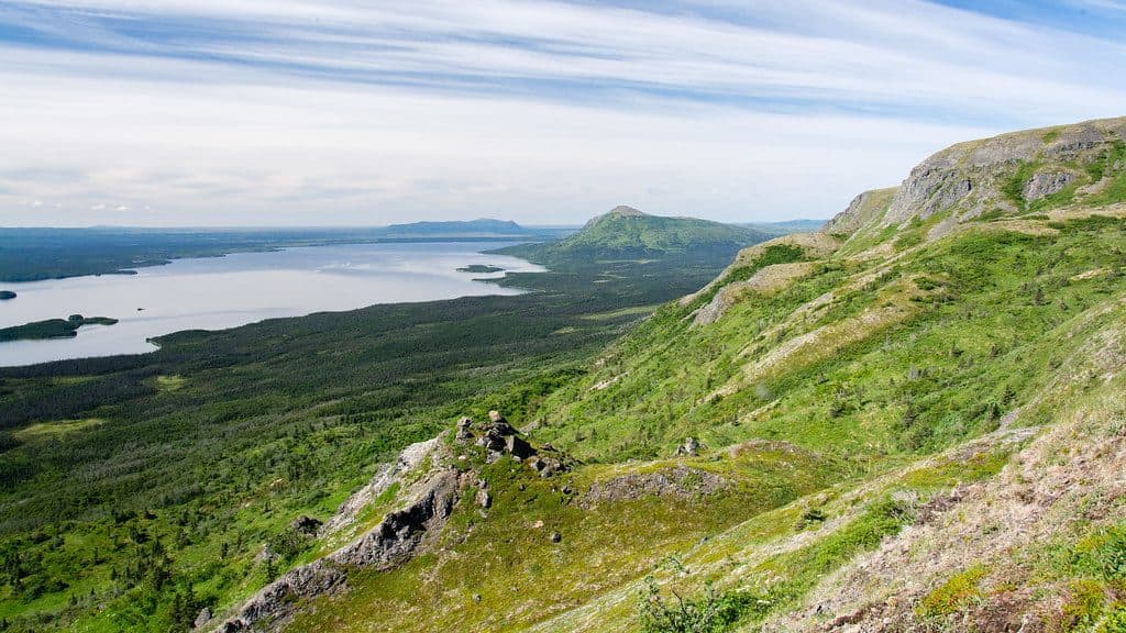 ChallengingDumpling Mountain Trail8 mi · 5.3 hr · 0.2 mi awayBig Brooks Camp views, real tundra, and real bear country
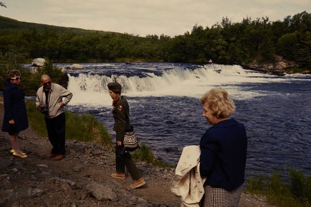 EasyBrooks Falls Trail1.2 mi · 1 hr · 0.4 mi awayShort, flat walk to world-class brown bear viewing platforms
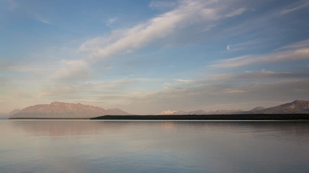 Sight · At the trailheadBrooks CampBear-viewing hub with lodge, campground, and tours to Ten Thousand Smokes
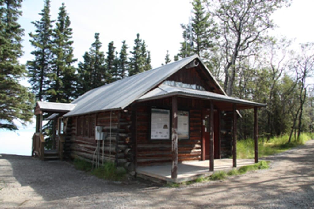 Ranger station · 0.1 mi awayBrooks River Historic Ranger StationKatmai’s first NPS building, a humble 1955 log ranger station
 Visitor center · 0.1 mi awayBrooks Camp Visitor CenterBear school, maps, and gear hub on the shore of Naknek Lake
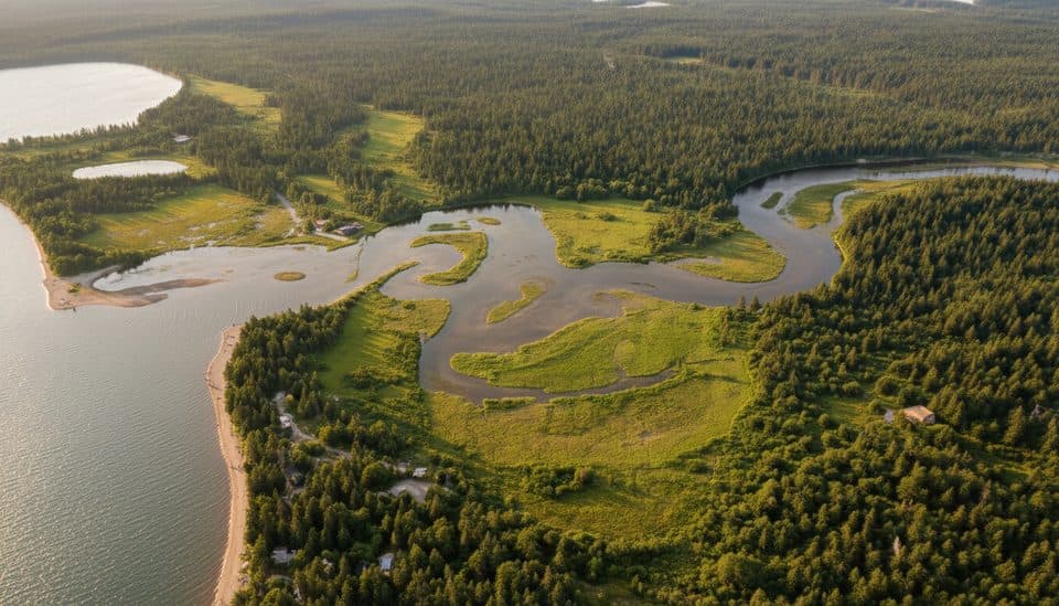 Sight · 0.1 mi awayLake Brooks Seaplane BaseFloatplane gateway to Brooks Camp and world-class bear viewing
 Lodging · 0.1 mi awayBrooks LodgeRustic lodge steps from Brooks Falls and world-class bear viewing
 Sight · 0.2 mi awayPrehistoric Alutiiq Pit HouseReconstructed Alutiiq pit house near Brooks Camp
 Campground · 0.2 mi awayBrooks Camp CampgroundFenced tent camping steps from world-class brown bear viewing
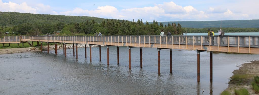 Sight · 0.2 mi awayBrooks River BridgeElevated crossing with bear‑side views and fewer bear‑jam delays
Parkwolf’s Katmai ranking

The audio tour guide for the drive, plus offline maps, trails, and wildlife heatmaps for when the signal drops.