Overview
About Upper Lake Viewpoint
Why stop
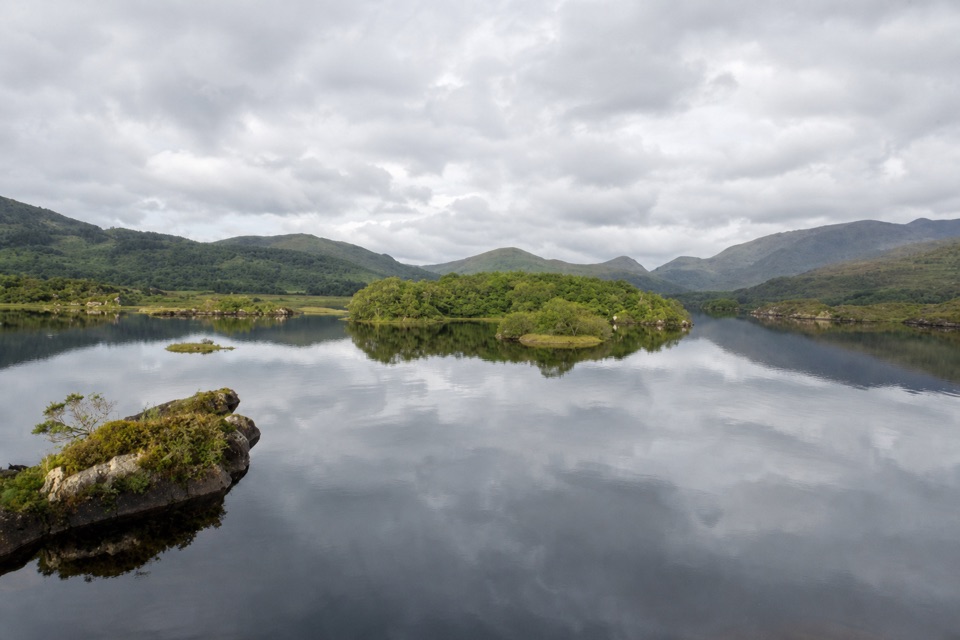
- Distinctive sandstone shaped by ice beside the island-dotted lake.
Map
Where it is

The highest, rockiest slopes around here are a summer buffet for grizzly bears.
Killarney Tour Guide
Your drive to Upper Lake Viewpoint, narrated.
Parkwolf is a GPS audio tour guide for Killarney National Park. As you drive, it chimes in with what’s ahead: hidden gems, upcoming stops, history, geology, and wildlife, right through your car’s speakers.
Recorded for this place
Upper Lake Viewpoint: Rock Shaped by Ice“Up ahead is Upper Lake Viewpoint, a quick stop with a story in the rock as well as a lake view. Look for the sandstone mound between the parking area and the water.”
Plays as you drive up to Upper Lake Viewpoint in the Parkwolf Killarney Tour Guide.
More stories near here in the app
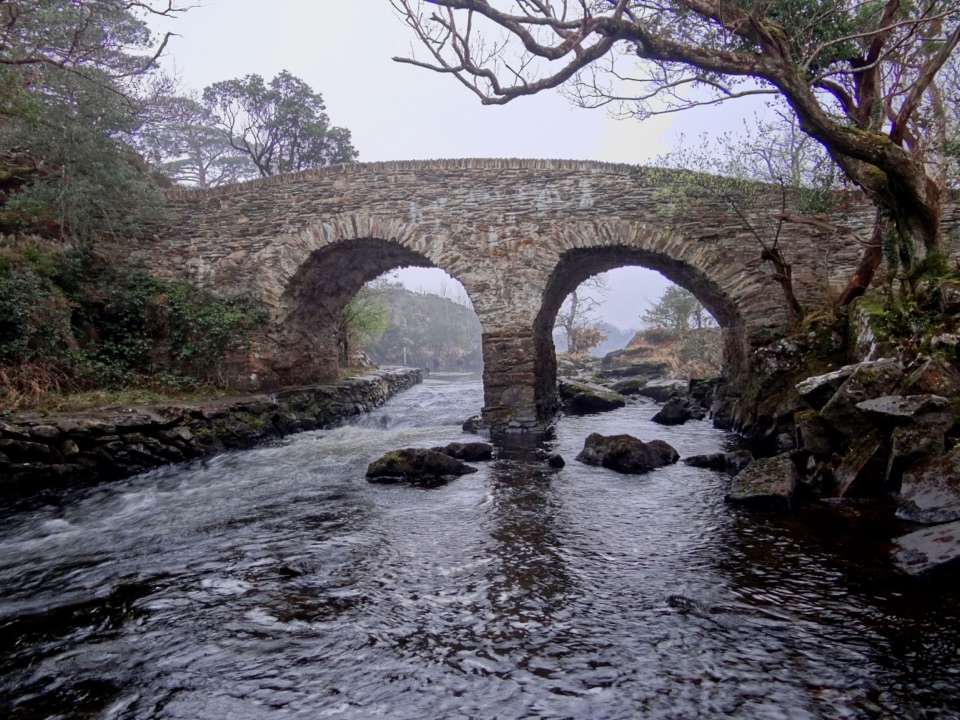
- Five Mile Bridge and Eagles’ Nest
- Derrycunnihy Falls and Cascade
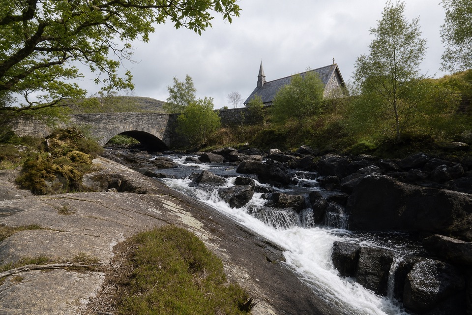
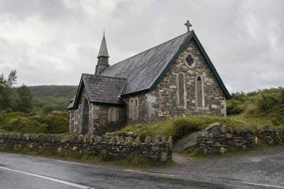
- Derrycunnihy Church and the Mass Path
- Ladies View
- 18 audio storiesacross Killarney’s roads, triggered by GPS as you drive
- Wildlife heatmapsfor Red Deer, Sika Deer, Feral Goat, and 10 more
- Works offlinemaps, 29 trails, 32 places, and audio download before you lose signal
- CarPlay readysimple controls built for the drive
“Fantastic app with many points of information… It’s great to just turn on while you’re driving and it gives you an audio tour of the national Park. We love it!!!!”


Guide
More about Upper Lake Viewpoint
A brief stop with a viewUpper Lake Viewpoint is Site 4 on the Killarney Valley Geology Trail, a roadside stop beside…
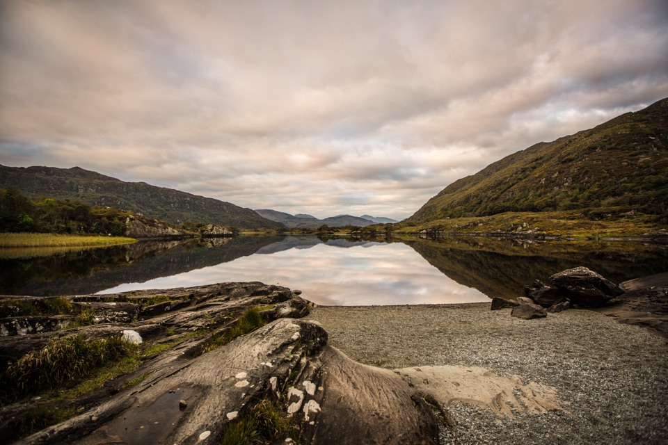
Upper Lake Viewpoint is Site 4 on the Killarney Valley Geology Trail, a roadside stop beside Upper Lake on the N71. It pairs a sandstone outcrop shaped by ice with a view over the lake’s rocky islands. Keep it in your drive if you like seeing the landscape’s story written into the rock; this is a quick stop, not a long walk.
Find the lake viewThe stop lies between Ladies’ View and Five Mile Bridge.
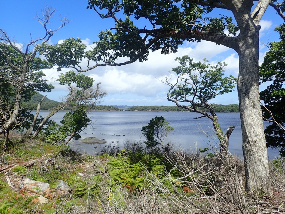
The stop lies between Ladies’ View and Five Mile Bridge. A parking area is beside the outcrop, and a track to its left leads to a good view of Upper Lake. The track’s length and surface aren’t clear, and the current parking layout hasn’t been confirmed, so don’t count on an informal roadside shoulder as a safe place to stop.
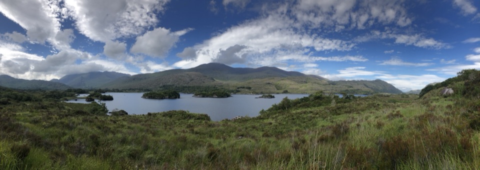
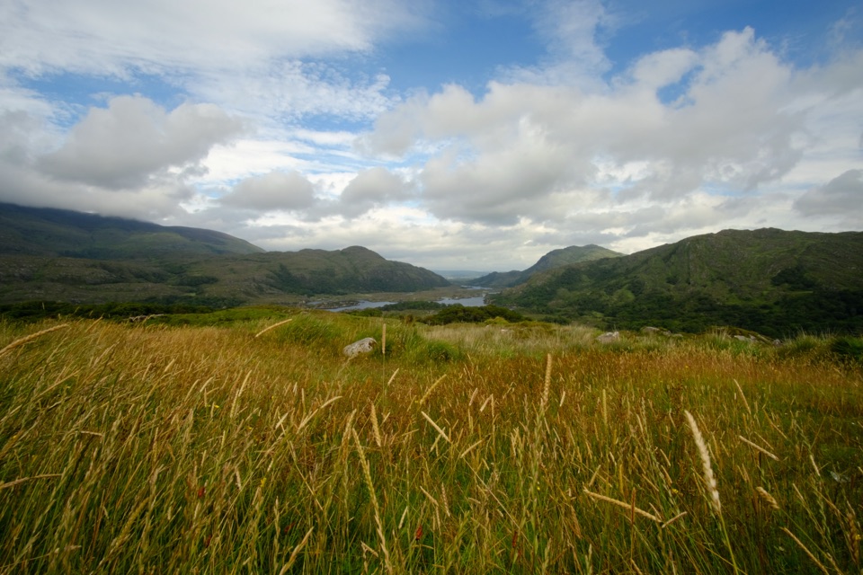
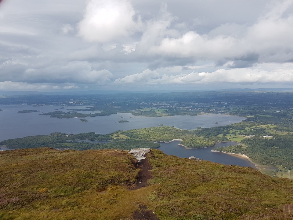
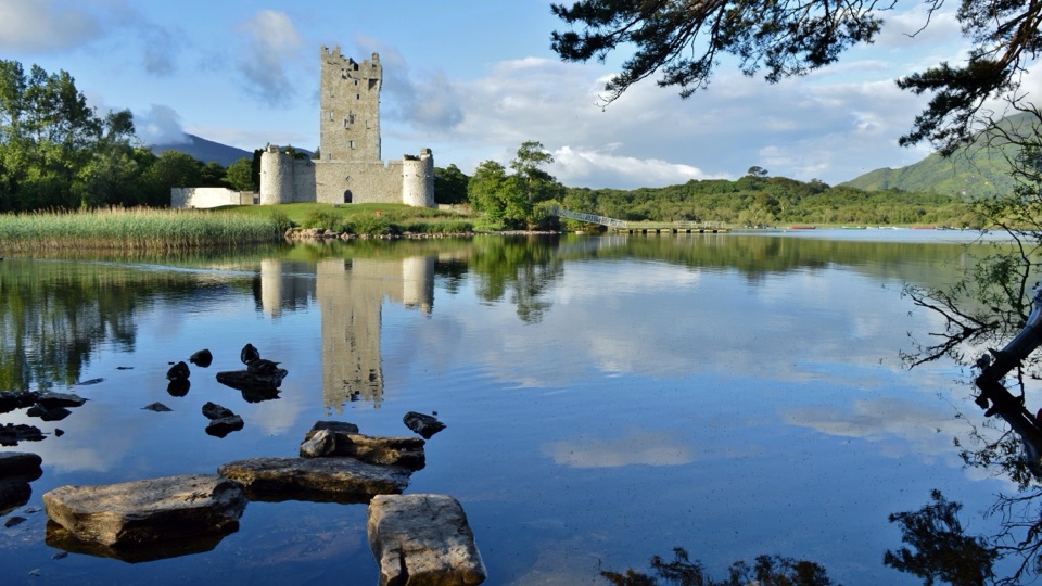
For a photo, follow that track and frame the rocky islands across the lake. They give the view a sense of scale without losing the water and hills behind them.
Read the rockThe sandstone mound between the parking area and lake is a roche moutonnée.
The sandstone mound between the parking area and lake is a roche moutonnée. A glacier rounded and smoothed its upstream face, then tore at the far side and left it steep. The ice that shaped this valley may have been around 800 metres thick; this outcrop makes that enormous force easier to picture.
Follow the ice along the shoreThe smooth bedrock at the lake edge slopes gently one way and breaks sharply the other, another…
The smooth bedrock at the lake edge slopes gently one way and breaks sharply the other, another clue to the direction the ice moved. A small nearby cliff is also more likely to have been carved by ice than by waves: Upper Lake is too small for wave action to explain that shape.
Wildlife
Wildlife in Killarney
 104 sightingsRed DeerMost seen around 7 AMSighting map
 207 sightingsSika DeerMost seen around 7 AMSighting map
 12 sightingsFeral GoatMost seen around 6 PMSighting map
 49 sightingsSwanMost seen around 7 AMSighting map
 48 sightingsHeronMost seen around 5 PMSighting map
 15 sightingsCormorantMost seen around 8 AMSighting map
Sighting maps show where each species has been reported across Killarney. Wildlife moves, so no sighting is guaranteed.