
Place · 0.2 mi away
Easy
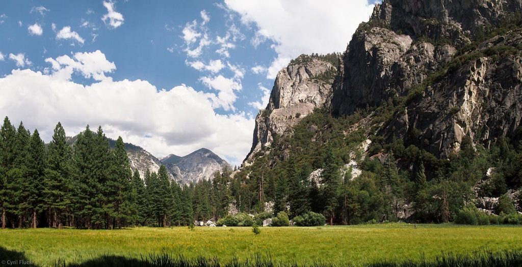
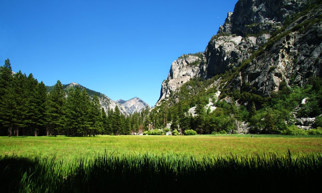
A Cedar Grove classic: a short, scenic walk through lush meadow, along the Kings River, and beneath towering granite cliffs. Expect boardwalk views, a brief rocky talus section, and frequent wildlife sightings in the open meadow.
When fully open, the loop is about 1.5–1.6 miles total with roughly 150–160 feet of gain. From the small lot, it’s a short, gentle approach to a steel bridge (about 0.2 miles), then the main loop circles the meadow on the far side. Recent flood damage has at times washed out riverside/boardwalk sections, turning the outing into an out-and-back rather than a true loop—still beautiful, just shorter. Surfaces mix sandy dirt, boardwalk, and a brief talus slope. Most hikers take 30–45 minutes.
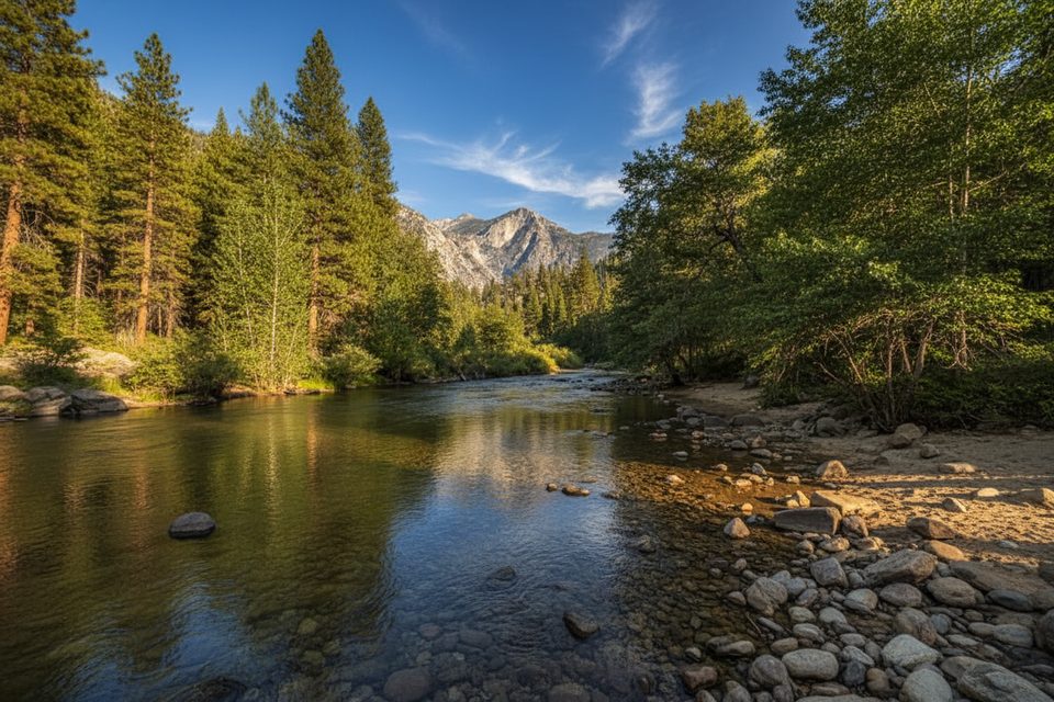
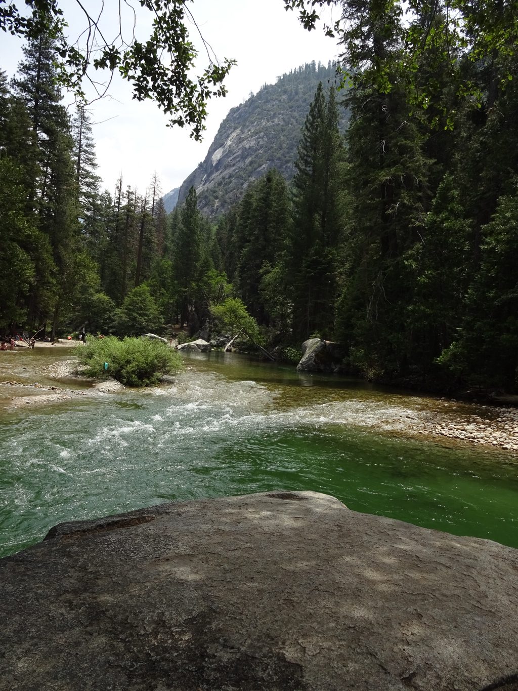
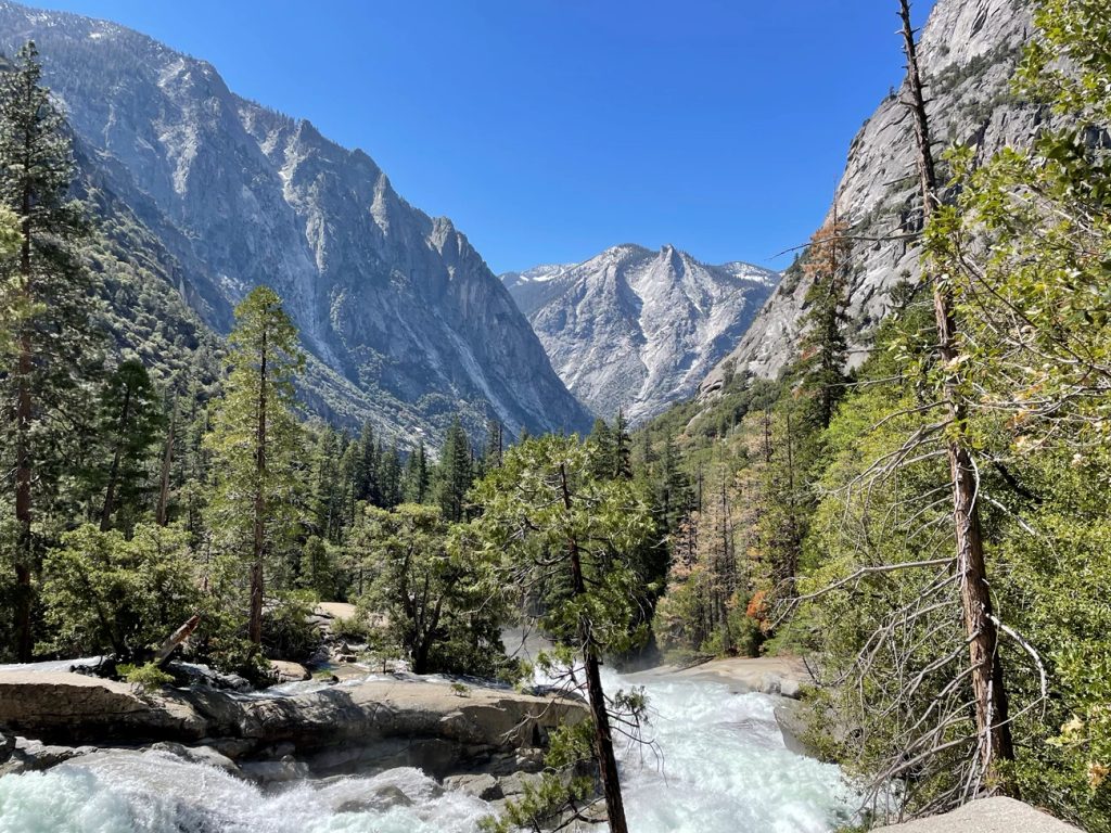
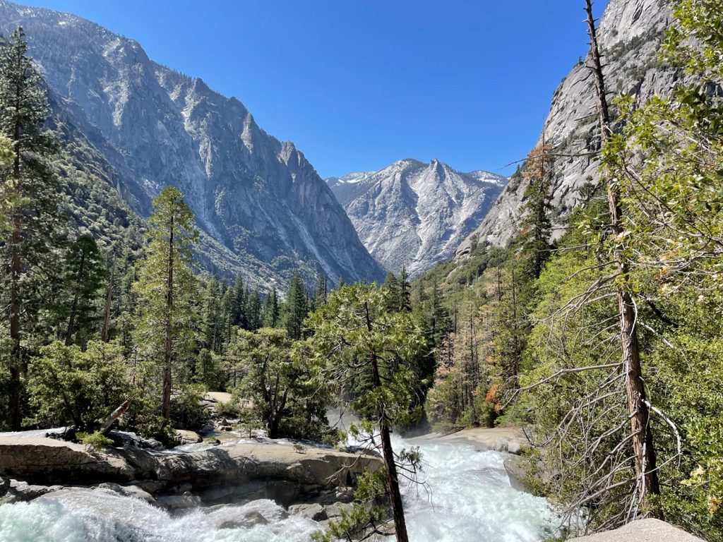
The star here is the meadow itself, framed by big granite walls and the green ribbon of the Kings River. The bridge offers classic canyon views. The talus slope delivers the only real climbing and a great perch over the meadow. The boardwalk (when open) rides the meadow edge—prime for spotting movement in the grass and along the river margin.
Go early or late for soft light, cooler temps on the canyon floor, and your best odds of seeing wildlife. Summer afternoons can be hot and exposed. In late summer (August–September), river levels often drop, revealing sandy banks; earlier in the season (May–July), currents are cold and swift and should be admired from shore. The road to Cedar Grove typically closes for winter around mid-November and reopens in late April, so plan accordingly.
Parking is limited and popular; arrive early or later in the day. The first stretch to the bridge is the gentlest and most accessible. Beyond the bridge, expect uneven tread and short, steeper grades that can challenge wheels; mobility-device users may need assistance. Benches and picnic tables are available nearby.
The Kings River is powerful—keep your distance in high water and supervise kids closely. Meadow habitats attract wildlife: give bears and other animals lots of space and never feed them. Insects (especially mosquitoes) can be thick near the river in warm months—bring repellent. The talus segment demands sure footing. Bear spray is not permitted here; store food properly and follow ranger guidance. If a section of trail is closed due to flooding, respect closures and pivot to an out-and-back. For more mileage, continue along the River Trail toward Roaring River Falls or Road’s End; for a bigger day, consider nearby Mist Falls.
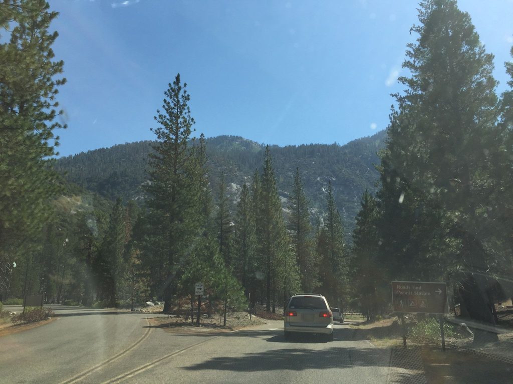
Small lot just off Highway 180 about 0.7 miles before Road’s End; it fills quickly midday—arrive early or late. Short, gentle approach from the lot to the bridge starts the hike.
High, cold spring–early summer flows in the Kings River; frequent flood-related closures turning the loop into an out-and-back; uneven talus footing; heavy mosquitoes in warm months; bear spray not permitted.
Place · 0.2 mi away
Place · 0.7 mi away
Place · 0.8 mi away
Place · 0.8 mi away
Challenging · 0.7 mi away
Challenging · 0.7 mi away
Challenging · 0.7 mi away
Moderate · 0.7 mi away

Parkwolf Tour Guide
