
Place · 0 mi away
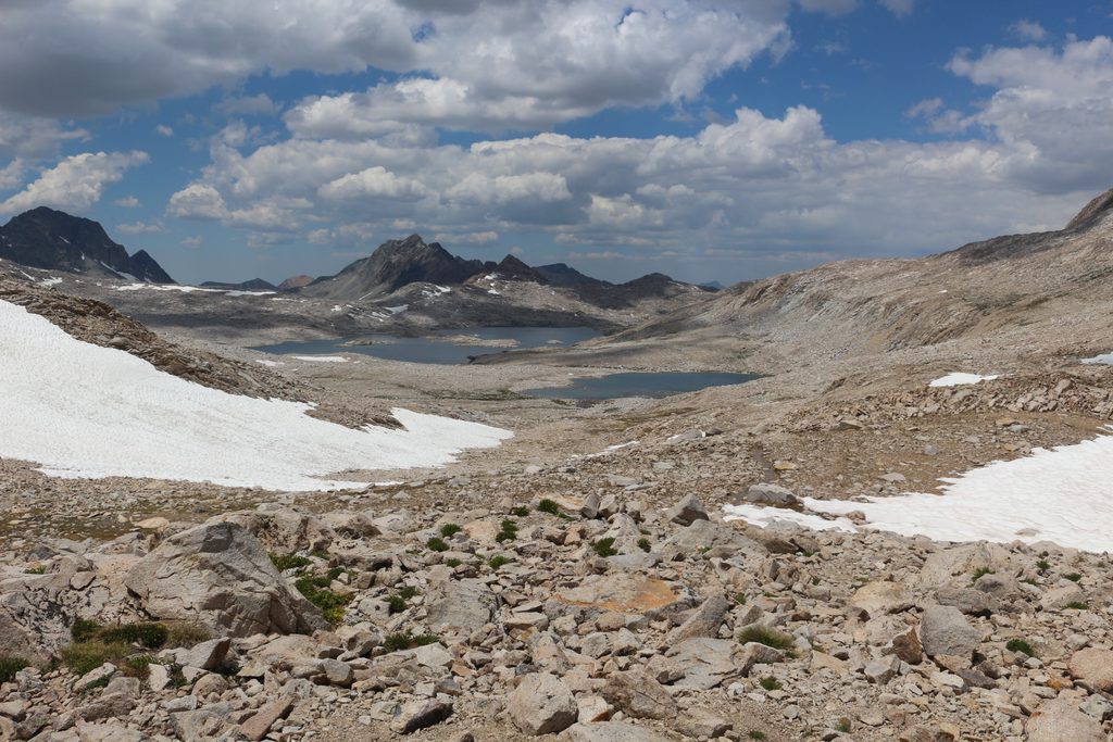
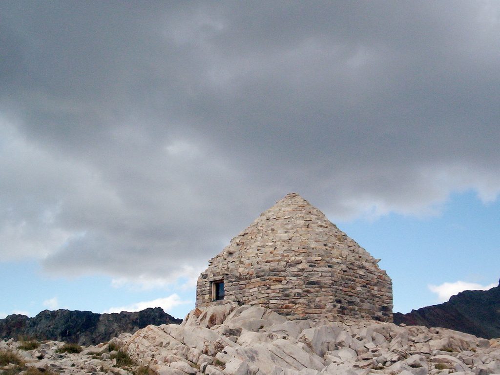
Muir Pass is a high Sierra crossing in Kings Canyon, straddling the Goddard Divide between Mount Solomons and Mount Warlow at 11,955 feet. It sits near the midpoint of the John Muir Trail and also carries the Pacific Crest Trail across the divide. The summit hosts the Sierra Club–built Muir Hut, a photogenic stone shelter that serves as an emergency refuge in bad weather.
Built in 1930 by the Sierra Club, the hut is a single-room granite structure with a cone-shaped, roughly 16-foot ceiling, stone seating, and a stone fireplace (not for use). It’s a day-use/emergency shelter—don’t plan to sleep here—and it does not provide reliable protection from lightning. Treat it as a refuge from wind and rain, not a storm bunker.
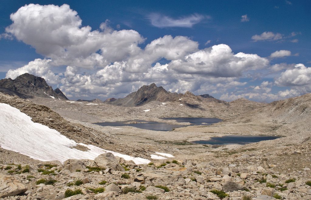
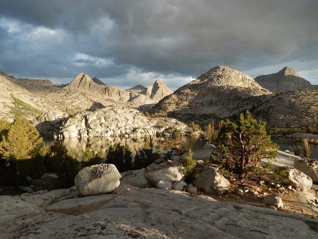
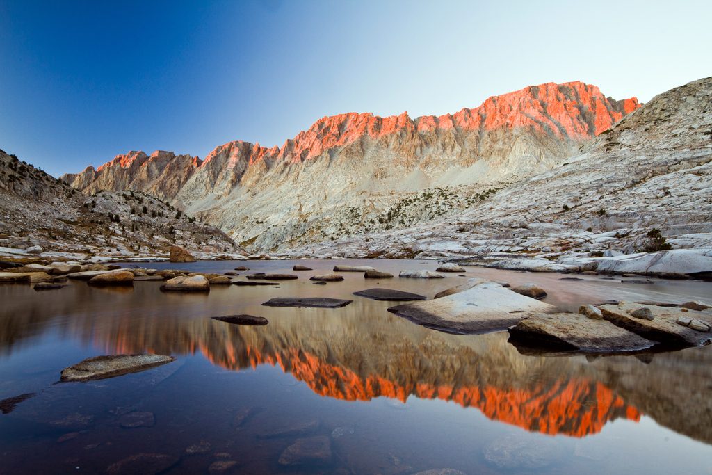
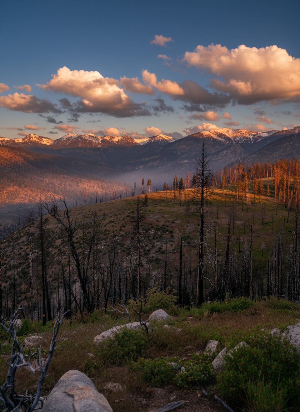
This is a broad, windswept pass rather than a knife-edge saddle. On either side are classic High Sierra lakes and granite—the Evolution Basin to the north and LeConte Canyon to the south. Just below the pass are lakes named for Muir’s daughters: Helen Lake to the west and Wanda Lake to the northeast. Expect huge skies, austere ridgelines, and that “top of the range” feel.
Overall, Muir is considered more gradual than some neighboring giants, but distance, altitude, and weather make it a real effort.
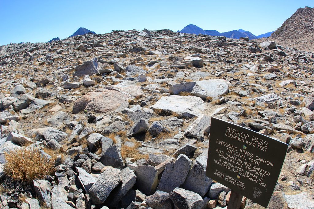
Early season brings lingering snowfields on both sides. Hit the pass early in the morning when snow is firm, and be off high ground before typical afternoon lightning. Fires are prohibited at these elevations. There are no amenities—plan to filter water from natural sources and pack out all waste. Marmots frequent the area; secure your gear and never feed wildlife.
Do not camp in the hut. Instead, use established backcountry spots well away from the pass and at least 100–200 feet from water. Bear-resistant canisters are standard on this corridor. Popular camps sit near Sapphire and Wanda Lakes on the north side, and along the approach above LeConte Canyon—follow local regulations and Leave No Trace.
Mid to late summer typically offers the driest, most straightforward crossing. Start pre-dawn or early morning for firmer snow (if present), calmer winds, and better odds of avoiding thunderstorms. Expect more thru-hiker traffic in peak summer; if you want quiet, aim for shoulder weeks on either side of the main season or plan your pass time early in the day for serene light and fewer people.
Place · 0 mi away
Place · 1.2 mi away
Place · 2.1 mi away
Place · 2.8 mi away
Challenging · 7 mi away
Challenging · 21.4 mi away
Challenging · 22 mi away
Challenging · 22 mi away

Parkwolf Tour Guide
