Panoramic Point Overlook in Kings Canyon National Park

#4 of 31 sights in Kings Canyon

Sight · Kings Canyon National Park

Panoramic Point Overlook

Hume Lake and the High Sierra share one sweeping overlook.

Photo: National Park Service
Type
Sight
Nearest trail
0.1 mi
Audio stories
8 nearby
  • Scenic viewpoint
  • Parking
  • Restrooms
  • Picnic tables

Hear the audio tour

Panoramic Point

Overview

About Panoramic Point Overlook

Why stop

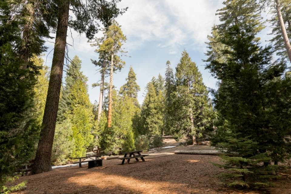
  • The short approach, benches and interpretive panels make it easy to pause and take in the view.

Heads up

  • The narrow road excludes RVs, trailers and oversized vehicles, and parking is very limited.
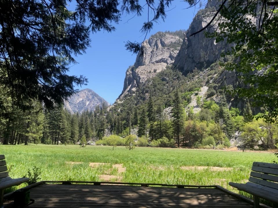
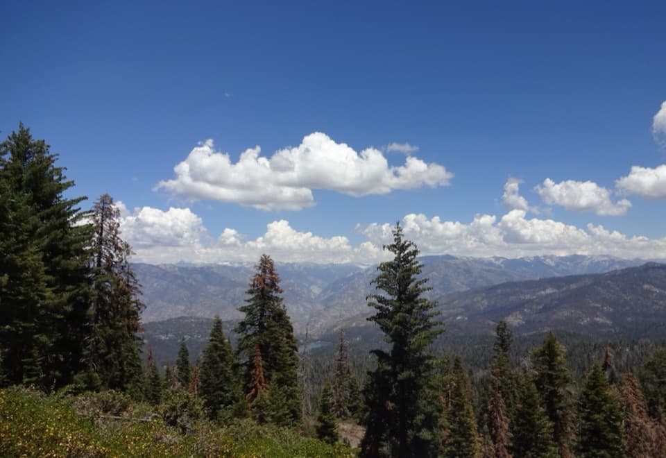
Panoramic Point is a developed overlook above Hume Lake in the Grant Grove area. The lake sits below forested slopes, with the Kings Canyon gorge and High Sierra peaks beyond. Make the detour on a clear day for that layered view without a long hike: the road ends at parking, then a roughly half-mile route leads to the viewing area, benches and interpretive panels. Parking is very limited, so go early or later in the day.
Parkwolf’s verdictA worthwhile Grant Grove detour

Map

Where it is

Loading the Kings Canyon map
Full map
SightPanoramic Point Overlook36.75369, -118.94435
Keep this map with you offline in the Parkwolf app

Plan your stop

Before you go

8 active Kings Canyon alerts

  • ClosureGrant Grove trails and areas closed for prescribed fireMentions Grant Grove, referenced in this guideSome trails and areas around Grant Grove and the General Grant Tree are closed during an active prescribed burn; stay out until crews clear hazards and reopen them.Official details
  • CautionStage 1 fire restrictionsStage 1 fire restrictions are active because high fire danger raises the risk of accidental human-caused fires that could threaten visitors and employees.Official details
See all 8 alerts
A park ranger sits on a dash-mounted phone, talking, as Parkwolf’s Tour Guide plays “Army Cutworm Moths: A Grizzly Bear Buffet” on Grand Loop Road below Dunraven Pass in Yellowstone
Parkwolf Tour GuideThe highest, rockiest slopes around here are a summer buffet for grizzly bears.

Kings Canyon Tour Guide

Your drive to Panoramic Point Overlook, narrated.

Parkwolf is a GPS audio tour guide for Kings Canyon National Park. As you drive, it chimes in with what’s ahead: hidden gems, upcoming stops, history, geology, and wildlife, right through your car’s speakers.

See the Kings Canyon audio tour

Recorded for this place

Panoramic Point
0:00 / 0:33
“Up ahead is Panoramic Point, with Hume Lake below and the High Sierra beyond. On a clear day, this is a good stop for a broad view without a long hike.”

Plays as you drive up to Panoramic Point Overlook in the Parkwolf Kings Canyon Tour Guide.

More stories near here in the app

  • The Bird That Plants Pines
  • North Boundary and Lone Pine Loop
  • General Grant Tree and Grant Grove
  • Grant Grove Village
  • 55 audio storiesacross Kings Canyon’s roads, triggered by GPS as you drive
  • Wildlife heatmapsfor Black Bear, Mule Deer, Marmot, and 13 more
  • Works offlinemaps, 77 trails, 61 places, and audio download before you lose signal
  • CarPlay readysimple controls built for the drive
★★★★★
“…The kids and my husband and I all agree that the narration really added to our experience driving through the parks. We learned so much about the history and the flora & fauna.”
JessestblondeApp Store review
Download Parkwolf on the App StoreGet Parkwolf on Google Play

4.7 from 8,600+ ratings

Guide

More about Panoramic Point Overlook

The approach, and the longer walkThe National Park Service describes a half-mile trail to the viewing area.

The National Park Service describes a half-mile trail to the viewing area. Part of it is paved and identified as accessible, but the slope and cross slopes are moderate and may challenge some visitors. An unpaved 2.6-mile route continues to Park Ridge Fire Lookout; volunteers sometimes open the lookout and give tours.

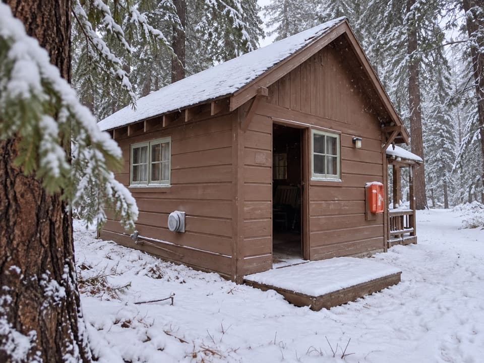
Panoramic Point Road is narrow and twisting, with blind curves. RVs, trailers and oversized vehicles are not permitted. The road isn't plowed and typically closes to vehicles after snow accumulates, usually reopening in late May; when it's closed, visitors can reach the area on foot, skis or snowshoes. Check current road conditions before you go.

What to bringThere are picnic tables and restrooms at the overlook, plus an accessible parking stall; the…

There are picnic tables and restrooms at the overlook, plus an accessible parking stall; the restroom type isn't specified. No food service or potable water is listed at the site, so bring water and a snack. Pets aren't allowed for this activity.

Hume Lake's logging storyHume Lake below the viewpoint was created in 1908 behind a rare multiple-arch dam.

Hume Lake below the viewpoint was created in 1908 behind a rare multiple-arch dam. Its water fed a flume that carried timber down toward the valley, a reminder that this forested landscape also has a working history.

Artists, writers and park advocatesThe high country drew people who wanted to study and protect it.

The high country drew people who wanted to study and protect it. Artist Bolton Brown climbed nearby peaks in the 1890s to paint them, and poet Kenneth Rexroth often hiked here from the late 1920s. The National Park Service also connects John Muir, Stephen Mather, George Moskey and Horace Albright with discussions about developing a national park system in this area.

The living high-country forestThe surrounding high country includes foxtail pines and alpine wildlife such as pika, and signs…

The surrounding high country includes foxtail pines and alpine wildlife such as pika, and signs of past fires and forest regeneration. Treat wildlife as a possibility, not a promise from the overlook.

Framing the viewFor a photo, keep Hume Lake low in the frame and let the dark conifers lead your eye toward the…

For a photo, keep Hume Lake low in the frame and let the dark conifers lead your eye toward the ridges beyond. Clear air helps the lake stand out; smoke or haze can hide it even when the farther canyon remains visible.

Wildlife

Wildlife in Kings Canyon

All Kings Canyon wildlife maps

Sighting maps show where each species has been reported across Kings Canyon. Wildlife moves, so no sighting is guaranteed.

Keep exploring

Near Panoramic Point Overlook

See it all on the map

Trails nearby

More stops nearby

Parkwolf’s Kings Canyon ranking

Top sights in Kings Canyon

All 61 places
  1. 1General Grant TreeSight
  2. 2Zumwalt MeadowSight
  3. 3Roaring River FallsSight
  4. 5Grizzly FallsSight
  5. 6Boyden CavernSight
  6. 7Junction ViewSight

Take Parkwolf to Kings Canyon.

The audio tour guide for the drive, plus offline maps, trails, and wildlife heatmaps for when the signal drops.

4.7 from 8,600+ ratings

Download Parkwolf on the App StoreGet Parkwolf on Google Play