
Place · 0.6 mi away
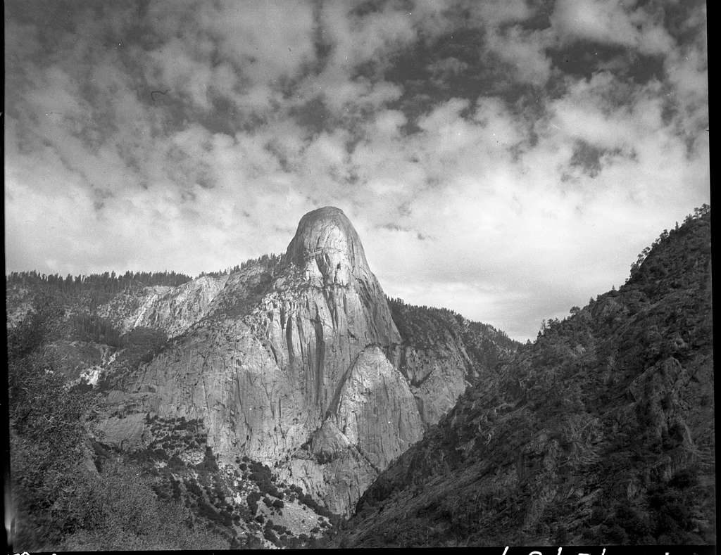
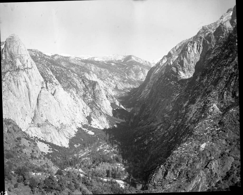
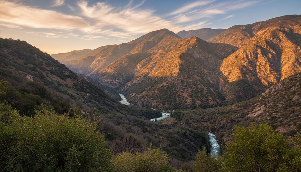
Tehipite Dome rules the north wall of Tehipite Valley with about 3,500 feet of relief above the Middle Fork of the Kings River—greater vertical than the famous walls in Yosemite. Expect wild, glaciated granite, side canyons, and the kind of silence you only get many miles from pavement.
This U‑shaped valley was carved by ice, leaving steep granite walls, short side canyons, and notable cascades nearby. The name “Tehipite” (often translated as “high rock”) was adopted in the late 1800s. Early visitors repeatedly compared the scenery to Yosemite. In the early 20th century, the area was nearly dammed for hydropower; protection came when Tehipite Valley was added to the park in 1965.
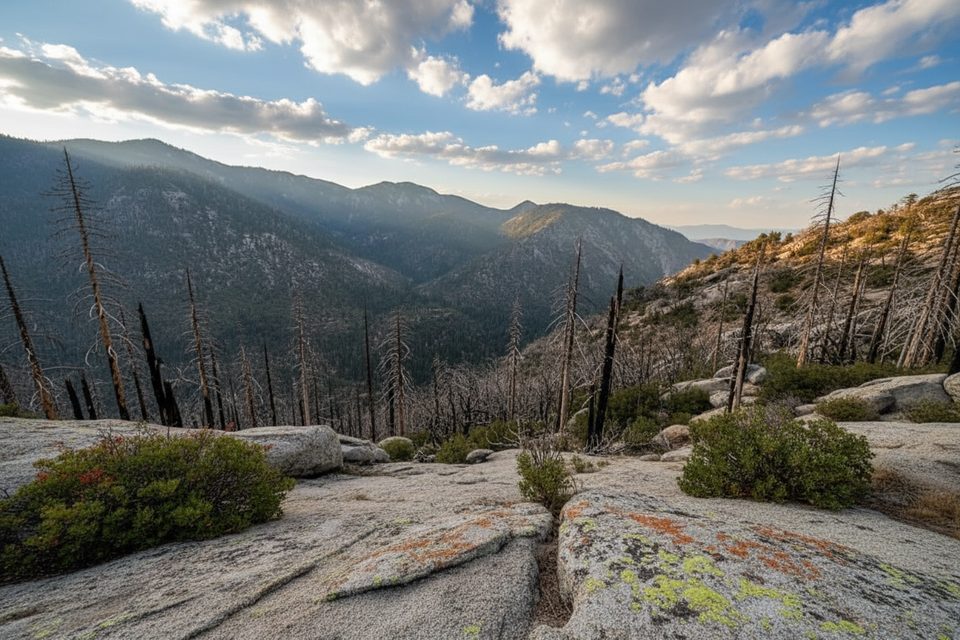
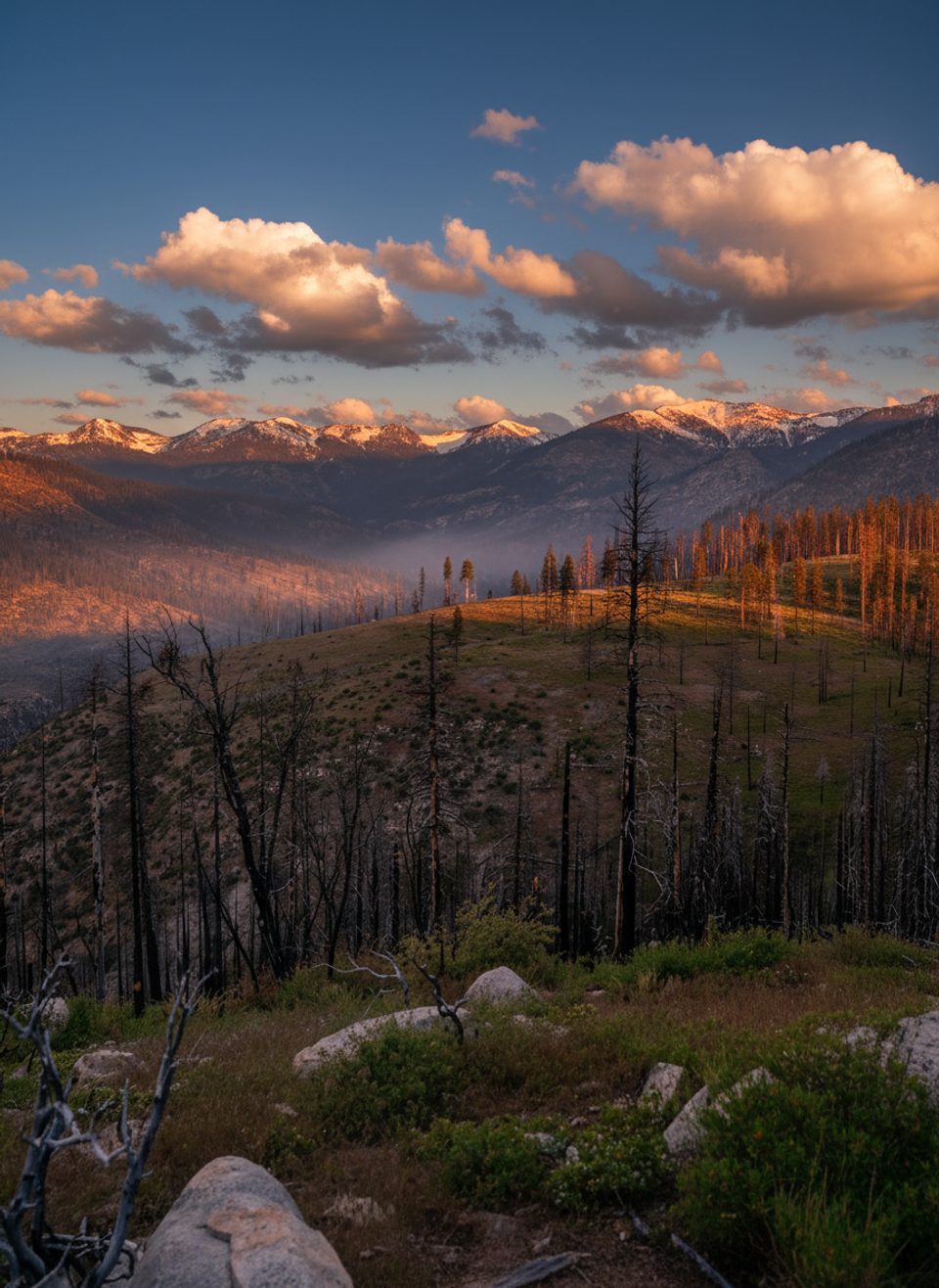
Access is remote. Common approaches start from the Wishon Dam area or Rancheria Trailhead in the surrounding national forest. The park characterizes the approach to the rim as moderate and the drop into the valley as very strenuous. A demanding outing to the dome from Rancheria is roughly 26 miles round trip with around 8,000 feet of gain and a brief Class 3 scramble. Expect burn scars, deteriorated stretches, and route‑finding.
There are no services at the trailheads or on route. Natural water sources exist (for example, Crown Creek is reached many miles in), but you must carry treatment and plan long water carries. Overnight trips require a wilderness permit from the managing forest on the approach; day trips do not. Given the remoteness, bring robust navigation and a communication device.
Rattlesnakes are specifically noted in this area. River levels on the Middle Fork can run high during snowmelt—treat riverside travel and any crossings with caution. Start early, budget generously for the exit climb, and build in turnaround times.
Late summer into early fall is the prime window after high‑country snow melts and river levels subside. Weekdays are even quieter than weekends, but crowding is rarely an issue here. For photography, early and late light bring texture to the granite, with clearer long views on dry, stable-air days.
Place · 0.6 mi away
Place · 7.4 mi away
Place · 7.6 mi away
Place · 7.9 mi away
Challenging · 8.7 mi away
Challenging · 10.6 mi away
Challenging · 10.6 mi away
Challenging · 10.6 mi away

Parkwolf Tour Guide
