
Place · 0.6 mi away
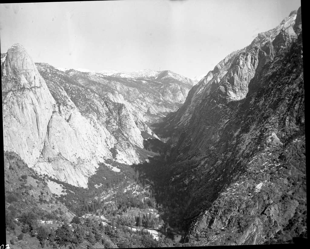
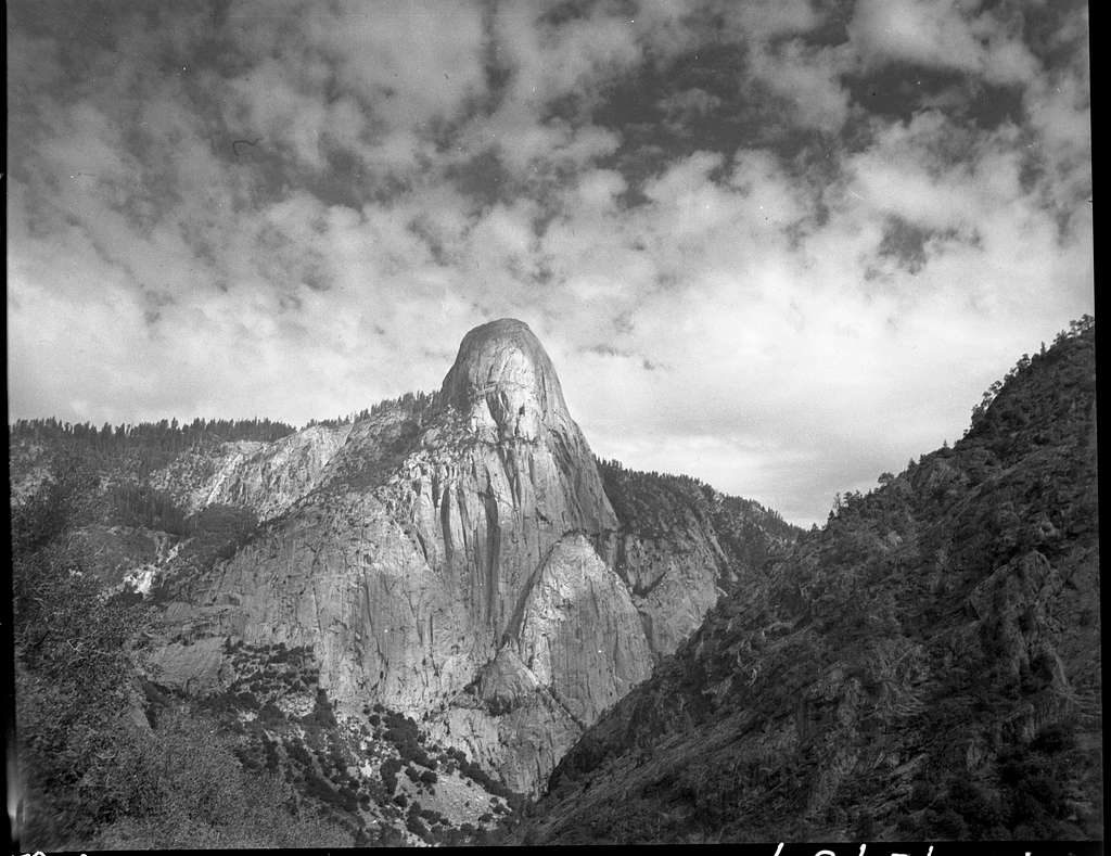
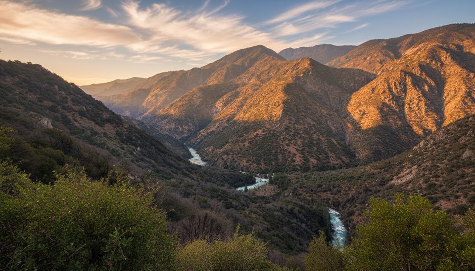
Tehipite Valley is Kings Canyon’s wild, glacial showpiece—think Yosemite vibes without the crowds. The valley floor sits around 4,200 feet, hemmed in by sheer granite walls and carved by the swift Middle Fork Kings River. It’s dominated by Tehipite Dome, the largest granite dome in the Sierra Nevada, which rises about 3,500 feet over the valley.
This is a short, dramatic U-shaped canyon (roughly 1.5 miles long and up to three-quarters of a mile wide) with towering walls, side canyons, and big cascades like Silver Spray and Blue Canyon Falls. The surrounding peaks soar past 8,000 feet, and the whole scene feels primeval and undisturbed.
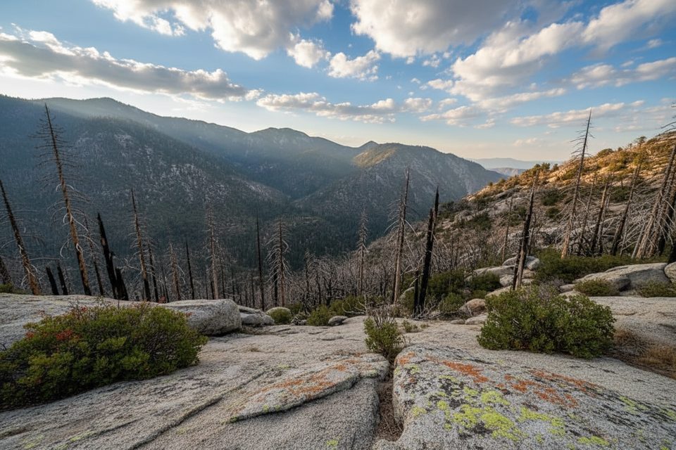
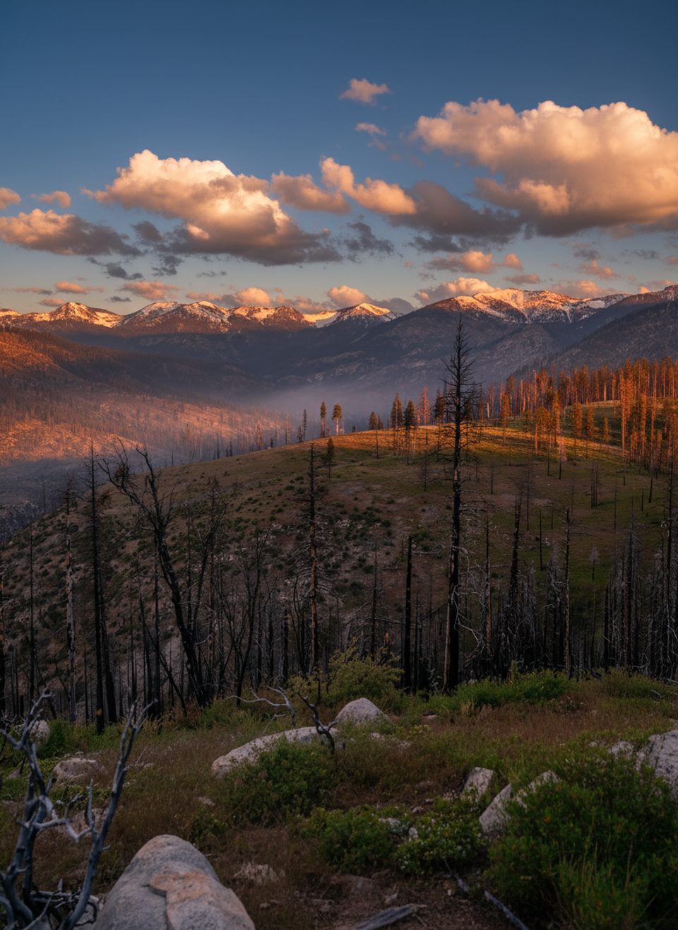
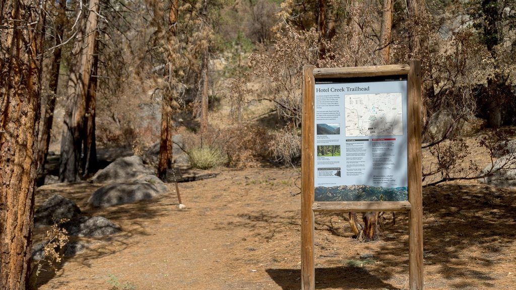
Expect a serious backcountry effort. The primary approach comes from the Wishon Reservoir area via the Rancheria Trailhead (no services) and the Tehipite Valley Trail. The park describes the hike to the rim as moderate, but the drop into the valley as very strenuous. It’s many miles from the nearest pavement and trails are lightly used—some segments are signed but deteriorated, with burn-scar stretches that can be hot and exposed. A rough spur road beyond the main trailhead exists but shouldn’t be counted on to save time.
You’ll find primitive campsites on the valley floor along the river—no facilities of any kind, so come fully self-sufficient and practice Leave No Trace. Food storage rules apply; plan on proper bear storage. Note that along approaches in this corridor there are specific no-camping spots (for example, Johnson’s Cow Camp on the way to Tehipite Dome), so follow posted regulations.
High-elevation approaches and heavy winter snows keep this area inaccessible for much of the year—up to eight months. The best window is typically late summer into early fall. Count on slow travel, minimal or no cell service, and the need for solid route-finding. Water is abundant but must be treated.
Rattlesnakes are present, especially in warm months and brushy, rocky stretches. Mule deer are common, and black bears use nearby meadows and forested basins—store food properly and give wildlife space. The river runs swift; be cautious around moving water.
Carry real navigation: paper topo plus GPS/compass. The park’s official maps and USGS 7.5-minute quads are the right tools for this trip. If you’re backpacking, review current wilderness permit, food storage, and any fire restrictions before you go.
Aim for late summer through early fall when snow has melted and flows are more manageable. Start early to beat heat in exposed burn areas. Crowds are minimal even on weekends, but plan extra time for the big climb back out.
Place · 0.6 mi away
Place · 6.8 mi away
Place · 7.2 mi away
Place · 7.5 mi away
Challenging · 8.2 mi away
Challenging · 10.1 mi away
Challenging · 10.1 mi away
Challenging · 10.1 mi away

Parkwolf Tour Guide
