Parking
Use Big Stump Picnic Area. The trail starts behind the restroom; the area has covered picnic tables, nearby restrooms, and multiple spaces including accessible and RV parking. The National Park Service says parking is usually abundant.

#6 of 77 trails in Kings Canyon
Kings Canyon National Park, CA
A short loop through logged sequoias to the Mark Twain stump.
Overview
Map & elevation
Plan your hike

The highest, rockiest slopes around here are a summer buffet for grizzly bears.
Kings Canyon Tour Guide
Parkwolf is a GPS audio tour guide for Kings Canyon National Park. As you drive, it chimes in with what’s ahead: hidden gems, upcoming stops, history, geology, and wildlife, right through your car’s speakers.
See the Kings Canyon audio tourRecorded for this trailhead
Big Stump Picnic Area and Mark Twain Stump“Up ahead is Big Stump Picnic Area, a handy place for a packed lunch at a covered table. The famous stump takes a hike from here, so allow about an hour if you want to add the walk.”
Plays as you drive up to this trailhead in the Parkwolf Kings Canyon Tour Guide.
More stories near here in the app
“…The kids and my husband and I all agree that the narration really added to our experience driving through the parks. We learned so much about the history and the flora & fauna.”


Trail guide
Big Stump Loop is a 1.6-mile circuit from Big Stump Picnic Area through a logged sequoia grove to the Mark Twain Stump. Allow about an hour, with extra time if you linger at the stump or take a side path. Choose this walk for its unusually direct look at logging history: the main draw is a giant sequoia’s cut stump, not a stretch of untouched giant-sequoia forest. The latest park map labels this loop 1.6 miles. Older mileage listings say 2 miles, and a longer 2.2-mile version includes optional branches, so follow the trail signs if you add them.
The trail starts behind the picnic-area restroom and drops about 130 feet to Big Stump Meadow. At the west-side junction, the left branch makes the longer circuit around the meadow; the right branch takes the shorter Shattered Giant bypass. The meadow route adds roughly a tenth of a mile. The forest beyond shows the scale of past logging in its scattered stumps, while the open meadow gives the walk a break from the trees. A short gap between two mapped trail segments has been connected using the park’s loop map and the published route directions; follow the signed tread at that junction.
A short spur reaches the stump of the tree known as the Mark Twain Tree. It was about 16 feet in diameter before the Army cut it down in 1891 to send a cross-section to displays in New York and London. The stump remains in the grove, and a small wooden staircase lets visitors climb onto its broad cut surface. That stop is the reason the loop earns its name: standing on the stump makes the size of the tree easier to grasp than a number on a sign.
Two side trips add detail if you have time. The Feather Bed loop visits a trench that loggers filled with sticks to cushion the fall of felled sequoias. The Sawed Tree spur reaches a sequoia that survived logging and still shows deep scars. Neither branch is part of the 1.6-mile loop shown on the latest park map. Taking the full meadow circuit and these extras can bring the outing closer to the longer mileage reported for the area.
The circuit continues toward the Highway 180 entrance-station area and returns through a tunnel beneath the road to the picnic area. The stored line follows mapped trails and closes at the picnic-area access point. Its elevation samples range from about 6,194 to 6,411 feet. Expect to climb back out after the opening descent; the National Park Service notes that elevation changes can feel harder at this altitude. The route is short, but it is not flat.
Park at Big Stump Picnic Area; the trail begins behind its restroom. The area has nearby restrooms, covered picnic tables, and several parking spaces, including accessible and RV spaces. Parking is usually abundant. The park lists no activity fee or reservation for the hike, though the park entrance fee may apply. Pets are not allowed on this trail.
Wildlife
 227 sightingsBlack BearMost seen around 7 PMSighting map
 385 sightingsMule DeerMost seen around 7 PMSighting map
 188 sightingsMarmotMost seen around 8 AMSighting map
 118 sightingsPikaMost seen around 7 AMSighting map
 14 sightingsGolden TroutMost seen around 7 PMSighting map
 32 sightingsRainbow TroutMost seen around 7 PMSighting map
Sighting maps show where each species has been reported across Kings Canyon. Wildlife moves, so no sighting is guaranteed.
Keep exploring
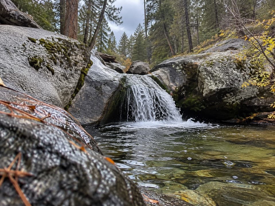 ModerateSunset Trail and Ella Falls Loop6.3 mi · 4 hr · 1.4 mi awayA granite cascade and a screened lake view reward this forest loop.
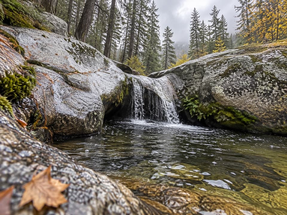 ModerateViola Falls Trail3.9 mi · 2.5 hr · 1.4 mi awayA forested descent from Grant Grove ends at a granite cascade.
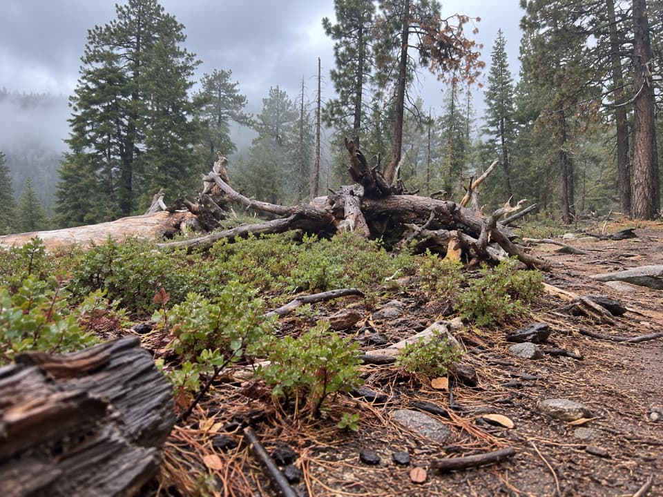 ModerateManzanita and Azalea Trail4.3 mi · 2.5 hr · 1.4 mi awayA forest circuit around Wilsonia opens onto High Sierra views.
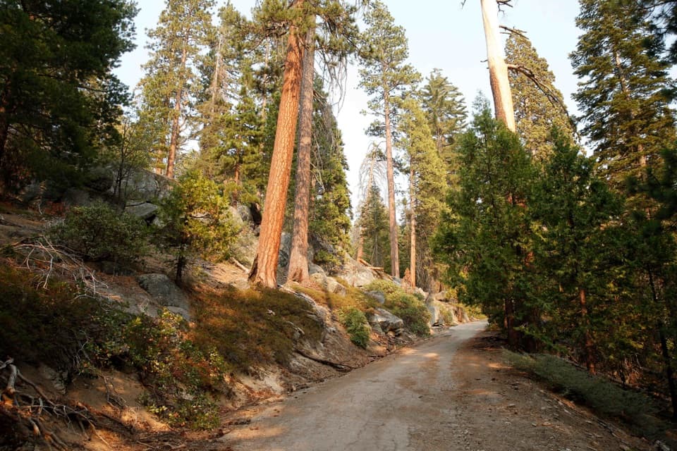 ModerateNorth Grove Loop1.8 mi · 1 hr · 1.8 mi awayA quieter sequoia loop through meadows and creek-side forest.
 EasyNorth Grove and Dead Giant Loops2.8 mi · 1.5 hr · 1.8 mi awayWalk two sequoia loops to a standing dead giant and lake view
 ModerateNorth Boundary–Lone Pine Loop4.5 mi · 2.3 hr · 2.4 mi awayA quieter forest loop with a brief giant sequoia highlight
 EasyPanoramic Point Trail0.5 mi · 24 min · 2.6 mi awayA paved half-mile loop over Hume Lake and the High Sierra.ModeratePark Ridge Trail to Park Ridge Fire Lookout5.2 mi · 3.5 hr · 2.6 mi awayWalk the ridge to a historic fire lookout and wide Sierra views.
 Picnic area · At the trailheadBig Stump Picnic Area and Snowplay AreaA practical first stop, with a trailhead and winter snowplay.
 Sight · 0.4 mi awayMark Twain StumpAn enormous sequoia stump you can climb, with a sobering backstory.
 Entrance station · 0.5 mi awayBig Stump Entrance StationPay here, pick up maps, and get oriented before the drive.
 Campground · 1.1 mi awaySunset CampgroundA wooded Grant Grove base, with sunset views from select sites.
 Sight · 1.3 mi awaySunset AmphitheaterCatch a ranger talk in a small forest amphitheater.
 Visitor center · 1.4 mi awayKings Canyon Visitor CenterMaps, ranger advice and sequoia exhibits make this a smart first stop.
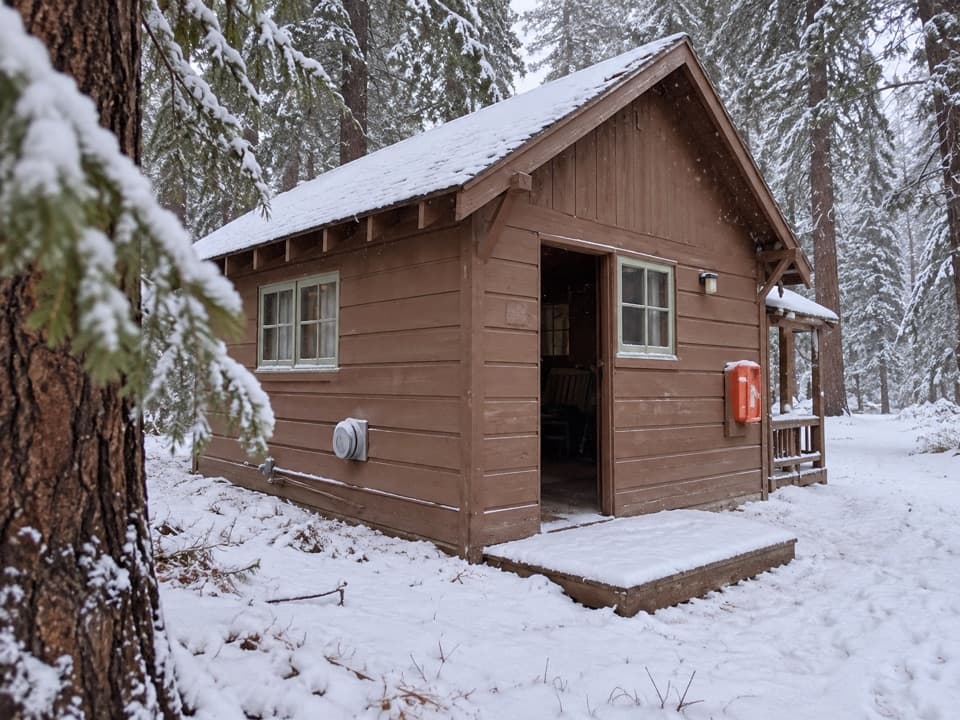 Lodging · 1.4 mi awayGrant Grove CabinsCabin comfort varies, but the sequoias are right nearby.
 Restaurant · 1.4 mi awayGrant Grove RestaurantA meal break in the sequoias, with a meadow-side courtyard.
Parkwolf’s Kings Canyon ranking

The audio tour guide for the drive, plus offline maps, trails, and wildlife heatmaps for when the signal drops.



