Parking
There is no parking at either endpoint. Road’s End in Cedar Grove is a backcountry access gateway, not the trailhead; reaching Simpson Meadow requires a long approach, and the PCT end needs a separately planned onward route and exit.

Kings Canyon National Park, CA
A remote river corridor for a demanding Sierra backpack.
Overview
Map & elevation
Plan your hike

The highest, rockiest slopes around here are a summer buffet for grizzly bears.
Kings Canyon Tour Guide
Parkwolf is a GPS audio tour guide for Kings Canyon National Park. As you drive, it chimes in with what’s ahead: hidden gems, upcoming stops, history, geology, and wildlife, right through your car’s speakers.
See the Kings Canyon audio tour“…The kids and my husband and I all agree that the narration really added to our experience driving through the parks. We learned so much about the history and the flora & fauna.”


Trail guide
This 7.9-mile one-way backcountry route follows the Middle Fork Kings from the Simpson Meadow junction to the John Muir and Pacific Crest trails near Palisade Creek. It is a remote link between wilderness routes, not a standalone day hike. Allow about 6–7 hours for this segment; approaches and exit travel add substantially.
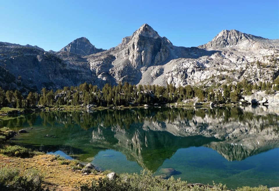
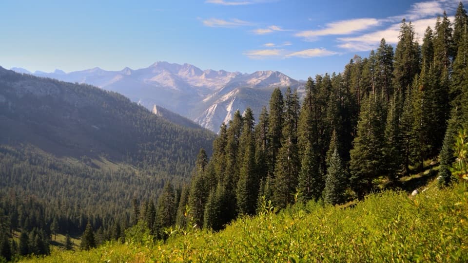
The corridor stays with the river and has views toward the Middle Fork. Expect rolling ups and downs and high steps on a lightly maintained path; seasonal brush can slow travel and make route finding harder.
The northeastern connection reaches the PCT across Palisade Creek. The crossing can be dangerous when water is high, and the precise ford line is not well documented. Check current conditions and do not commit if the crossing is unsafe.
Neither endpoint has road access or parking. Reaching Simpson Meadow from the road requires a long wilderness approach, and the far end continues on the JMT/PCT, so plan the complete approach and exit before starting. Overnight trips require a wilderness permit. Pets are not allowed on park trails; service dogs are permitted.
Wildlife
 227 sightingsBlack BearMost seen around 7 PMSighting map
 385 sightingsMule DeerMost seen around 7 PMSighting map
 188 sightingsMarmotMost seen around 8 AMSighting map
 118 sightingsPikaMost seen around 7 AMSighting map
 14 sightingsGolden TroutMost seen around 7 PMSighting map
 32 sightingsRainbow TroutMost seen around 7 PMSighting map
Sighting maps show where each species has been reported across Kings Canyon. Wildlife moves, so no sighting is guaranteed.
Keep exploring
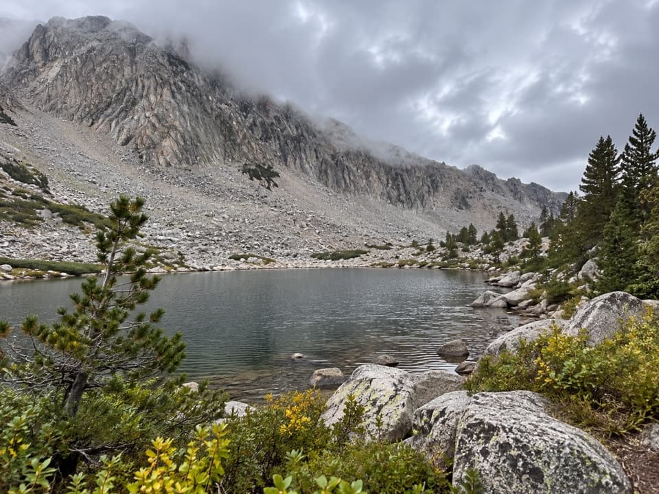 ModerateHorseshoe Lakes Trail2 mi · 1.5 hr · 4.1 mi awayA high-alpine spur reaches a chain of remote lakes.
 ChallengingState Lakes Loop Trail5.6 mi · 4.5 hr · 4.2 mi awayTwo alpine lakes, a rocky loop, and a section easy to lose.
 ChallengingLewis Creek Trail to Kennedy Pass19.6 mi · 18 hr · 12.5 mi awayA steep, high-country climb to a broad Sierra pass.
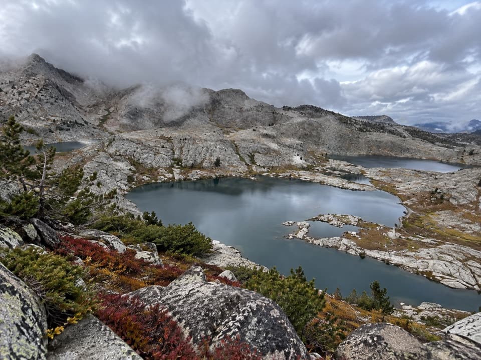 ChallengingVolcanic Lakes Loop37.6 mi · 1.5 days · 12.5 mi awayA chain of granite lakes rewards a long, rough cross-country route.
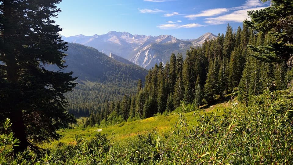 ChallengingCopper Creek Trail to Granite Pass22 mi · 18 hr · 12.6 mi awayA steep climb pays off with basin meadows and two huge views.
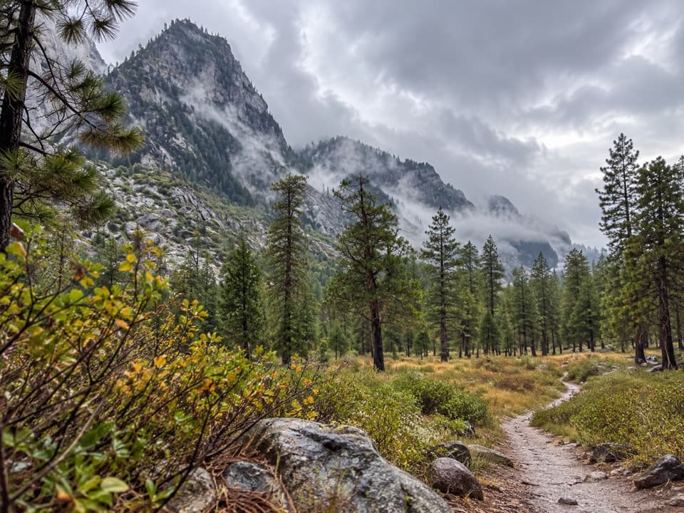 ModerateCedar Grove North Side Trail5.1 mi · 3 hr · 12.6 mi awayA five-mile walk links Roads End with Cedar Grove's west side.
 ChallengingSimpson Meadow Trail22.9 mi · 20 hr · 12.6 mi awayA steep Copper Creek climb gives way to a rough river descent.ChallengingGrouse Lake via Copper Creek Trail17.2 mi · 13 hr · 12.6 mi awayA steep canyon climb ends at a granite lake beyond the tread
Parkwolf’s Kings Canyon ranking

The audio tour guide for the drive, plus offline maps, trails, and wildlife heatmaps for when the signal drops.