Place
Challenging

Goddard Canyon is classic High Sierra backcountry: big granite walls, water-sculpted chutes, and a river that alternates between lazy flats and sudden cascades. The route enters Kings Canyon National Park at Hell For Sure Pass and descends into the canyon on a path that’s officially “unmaintained” in places and marked “not for stock” on maps. Expect a rugged, rewarding walk—this is for hikers comfortable with variable tread and minimal signage.
As a practical hiking segment, plan roughly 8.3 miles one way between the junction near Hell For Sure Pass and the junction with the John Muir Trail corridor in Evolution Valley. That figure stitches together the well-traveled canyon path from the west-side approach to the upper canyon junction. If you’re day-hiking a piece of it, pick a section; if you’re backpacking, it’s a superb connector between major Sierra corridors. Note this is point-to-point—most trips here are part of longer itineraries, not a short out-and-back.
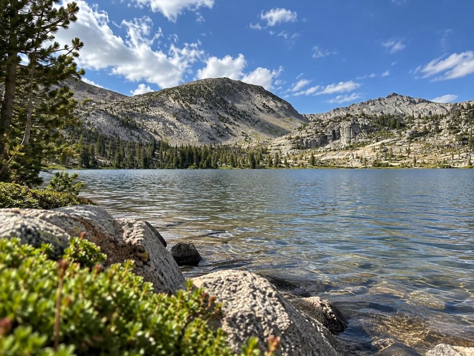
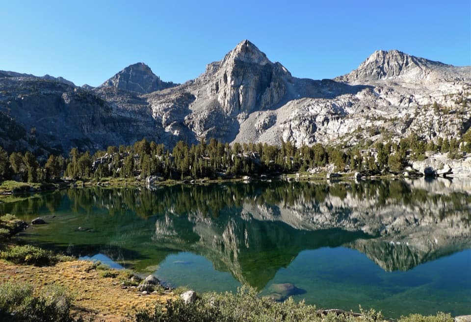
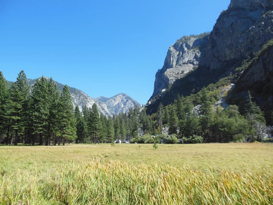
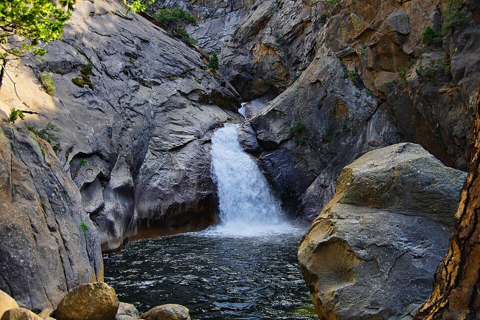
The descent from Hell For Sure Pass drops you into a broad granite basin that narrows into Goddard Canyon. Look for cliffs with striking near-vertical banding, polished rock slots, and boulder outcrops. As the trail settles into the canyon bottom, it “flirts” with the creek, then follows the South Fork San Joaquin River where you’ll find multiple waterfalls, including an “advertised” cascade and a dramatic chute-and-pool sequence. Water-loving plants and persistent greenery line seeps and creeks even late in the season.
Although unmaintained on the map, the tread is usually obvious thanks to foot traffic. Still, you’ll encounter the usual backcountry quirks: occasional deadfall, brief willow thickets that push you onto rock detours, and faint lines through grassy flats that reappear ahead. Some descents tighten up and steepen where switchbacks “shorten.” Near the river, expect narrow traverses with enough room for hikers—but they’ll feel exposed to those who dislike edges. Junctions can be sparse on signage; one key turn is marked only by a cairn.
Water is a constant companion here. A creek runs high up near the pass, and within the canyon you’ll cross several creeks and small streams. Along the South Fork San Joaquin, side creeks rejoin and the river displays a scenic mix of flats, chutes, and drops. Camping options present themselves on level benches in the canyon and around the sturdy bridge area on the river, with sites on both sides. Always follow local regulations for distances from water and established site etiquette.
Late summer typically brings open travel, abundant running water, and fewer snow issues on the pass approach—though smoke can occasionally intrude on views. Spring and early summer can mean higher, faster water and wet tread near the pass. Start early for the best light on canyon walls and waterfalls; weekends see very little difference in “crowd” levels compared to frontcountry hikes, but you’ll still want to build in time for routefinding.
If you love lightly maintained High Sierra canyon travel—granite, waterfalls, and frequent water access—this delivers. If you need constant signage and groomed tread, pick a different corridor.
No direct road access into Goddard Canyon. Most hikers reach it via longer approaches—park at your chosen entry trailhead (commonly Florence Lake or Courtright Reservoir) and hike in. There is no single “Goddard Canyon” trailhead lot.
Unmaintained sections with faint tread, cairn-only junctions, and occasional deadfall; narrow traverses above the river; wet, slick granite near waterfalls; variable creek crossings; portions marked not for stock.