
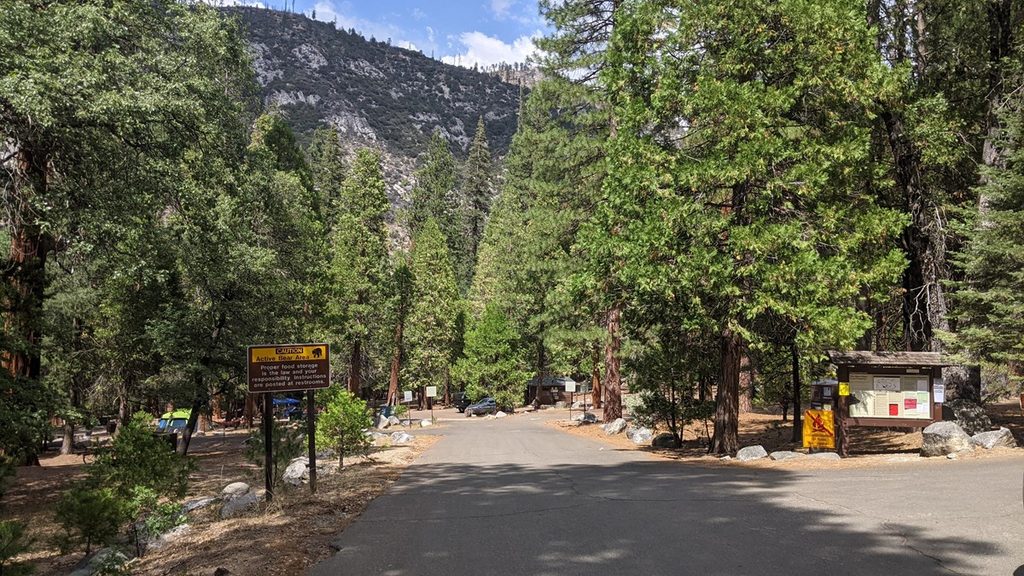
Place · 2.4 mi away
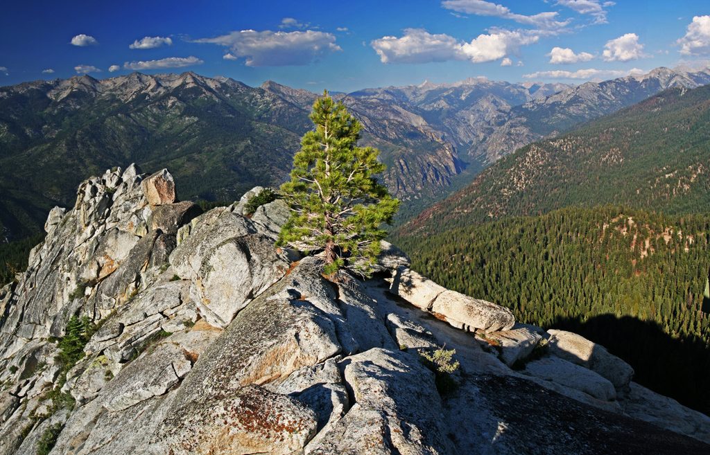
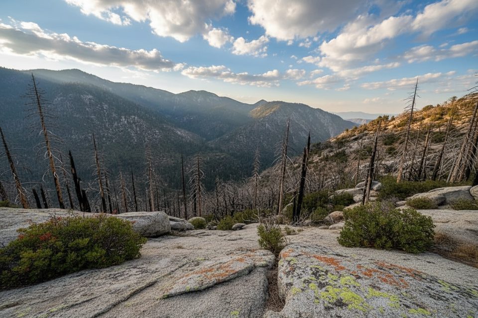
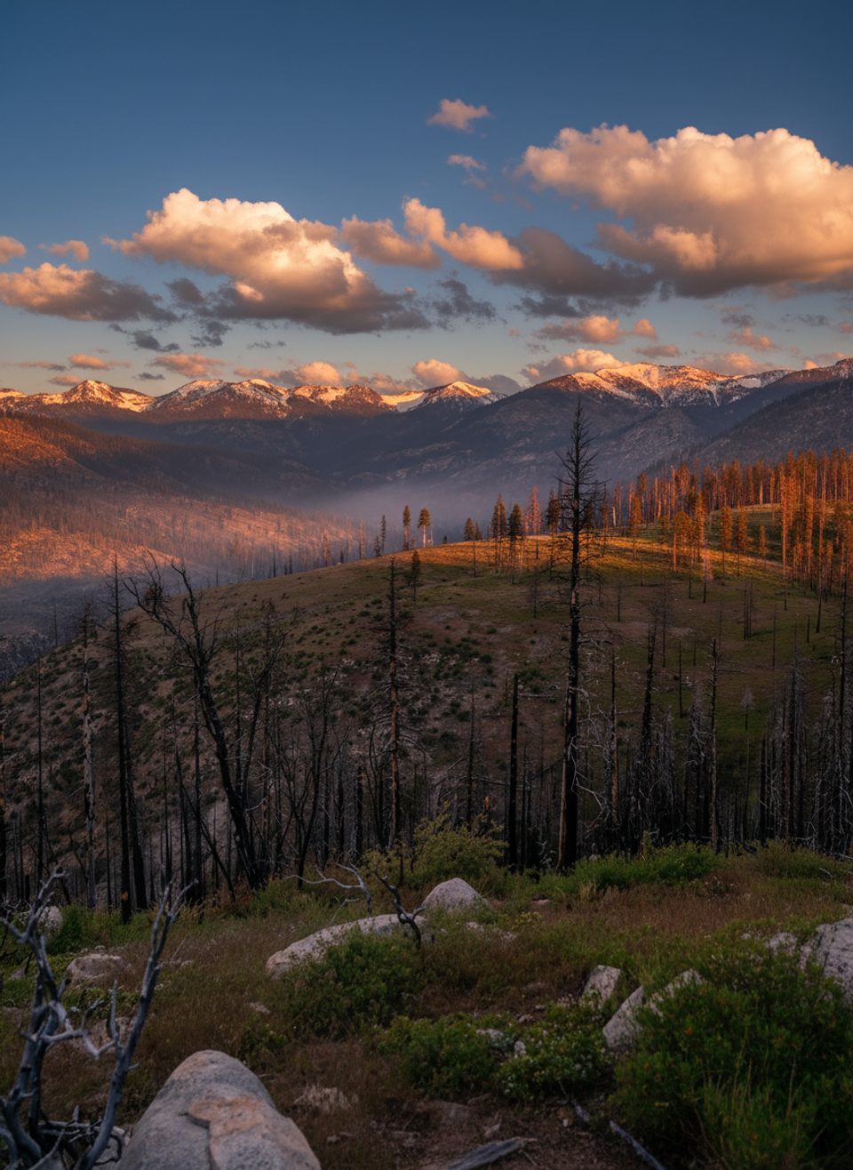
Lookout Peak is the big-view reward in the Cedar Grove area, topping out around 8,531 feet with an all-directions sweep of glacially carved Kings Canyon, the Monarch Divide, and Sentinel Ridge. It’s a real earn-your-views kind of day: long, hot climbing from the canyon floor or a short, steep scramble from the summit side. Expect solitude up high and a touch of adventure on the final push.
This is classic Sierra scenery: a U-shaped, glacier-scoured canyon dropping away beneath you and serrated ridgelines in every direction. The “Glacier Point without the crowds” comparison gets tossed around for a reason—on a clear day, the vistas are massive.
Best in spring and fall. Summer heat in the canyon can be severe, and the Don Cecil route is exposed in places—start at first light and carry ample water. Plan 6–10 hours round-trip depending on pace, heat, and comfort with scrambling. Winter/spring road closures can affect the summit-side approach.
Rattlesnakes are possible—watch your footing. Black bears are common in the region; follow food storage rules in developed areas. Bear spray is not permitted in Sequoia–Kings Canyon. The summit path is faint and loose; if the Class 3 moves feel beyond your comfort, turn around—excellent views come well before the true high point.
There are no restrooms, water, or tables at Lookout Peak. On the Don Cecil side, you can park near the trailhead area in Cedar Grove; a safer overflow option is the day-use lot by Sheep Creek Campground and a short connector walk. Water is scarce—carry 3+ liters; seasonal trickles at Sheep Creek and a smaller fork may be treatable. Dogs aren’t allowed on this trail, and a park entrance fee applies.
Strong hikers who want a strenuous day with a bit of scrambling and huge payoff views. If you’re after grandeur without the Cedar Grove climb, the short summit-side approach still demands careful footing but skips most of the elevation gain.
Place · 2.4 mi away
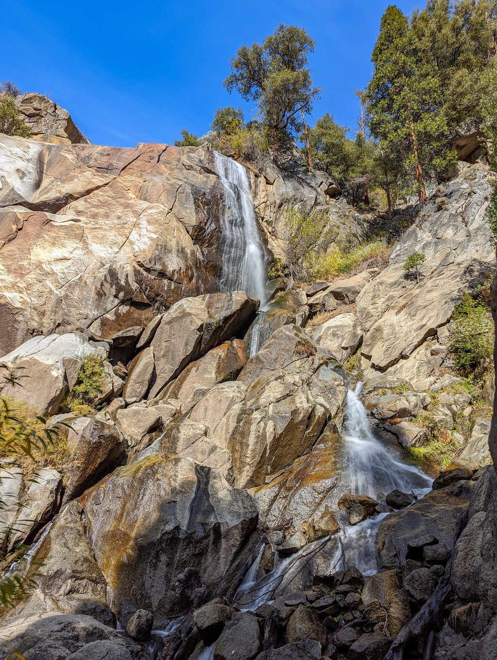
Place · 2.5 mi away
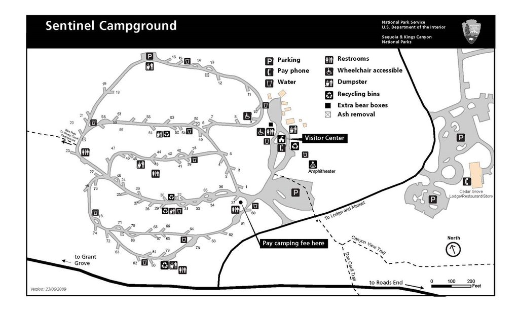
Place · 2.7 mi away
Place · 2.8 mi away
Challenging · 2.1 mi away

Moderate · 2.6 mi away
Challenging · 3 mi away
Challenging · 3 mi away

Parkwolf Tour Guide
