Challenging

Taboose Pass Trail

A burly desert-to-alpine grind with huge payoff and solitude
Taboose Pass Trail, Kings Canyon National Park
Distance16 mi
Typical time14.5 hr
DifficultyChallenging
PetsNot allowed

Overview

Taboose Pass is one of the Eastern Sierra’s big, direct climbs: roughly 6,000 feet of gain from the Owens Valley desert to an 11,417-foot alpine pass. Expect a serious workout and minimal crowds. From the Taboose Creek trailhead, it’s about 8 miles one way to the pass (plan on ~16 miles total if you’re doing an out-and-back to the pass). Over the crest you enter Kings Canyon’s backcountry and can link up with the JMT/PCT toward remote destinations south of Mather Pass.

What the trail is like

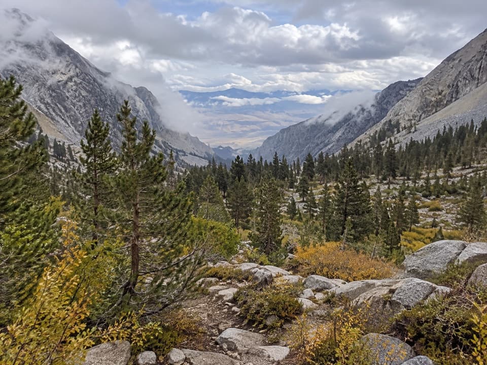
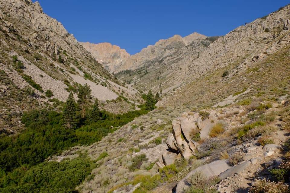
The lower miles cross hot, sandy desert—often a true sand slog—amid black lava rocks and sage before the canyon steepens. The path climbs along Taboose Creek through brushy, scratchy vegetation in places, then into forest, then into stark, rocky high country. You’ll tackle multiple headwalls and, higher up, long stretches of loose, blocky scree where footing demands attention and the route can be hard to follow.

Scenery and geology

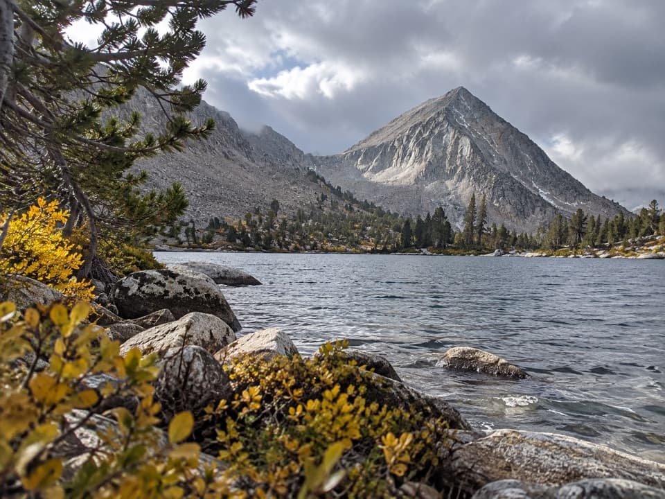
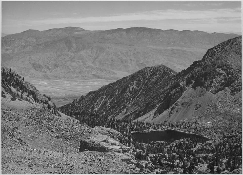
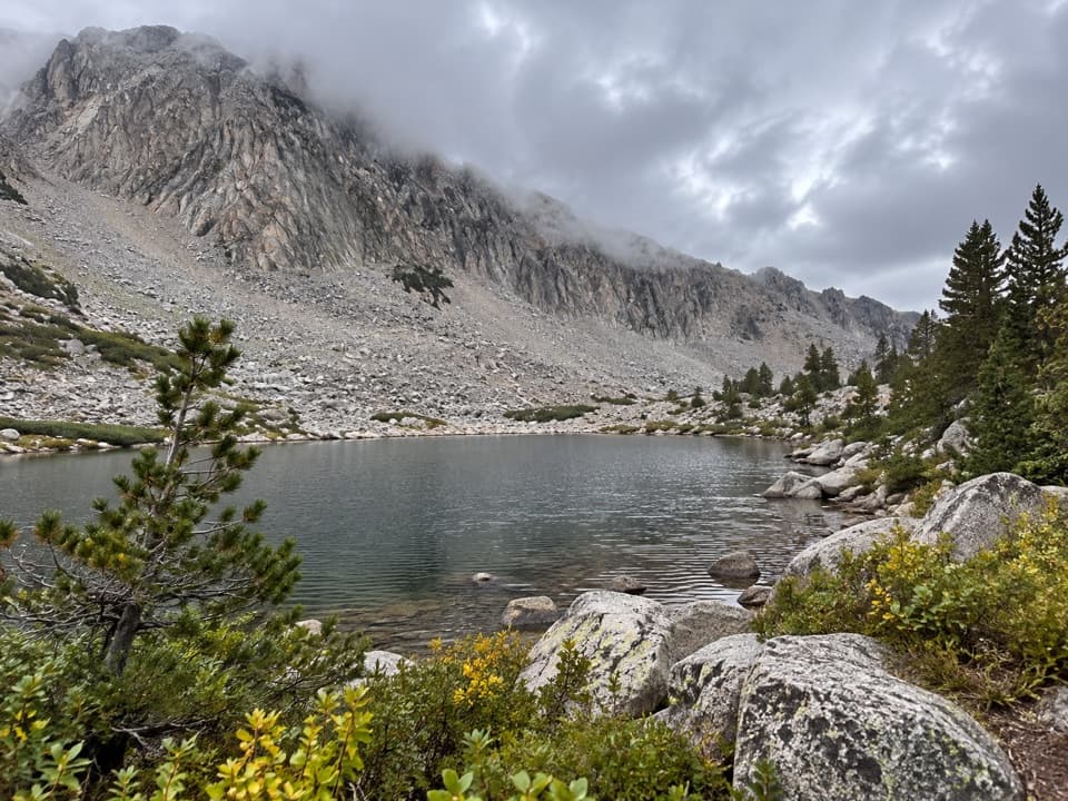
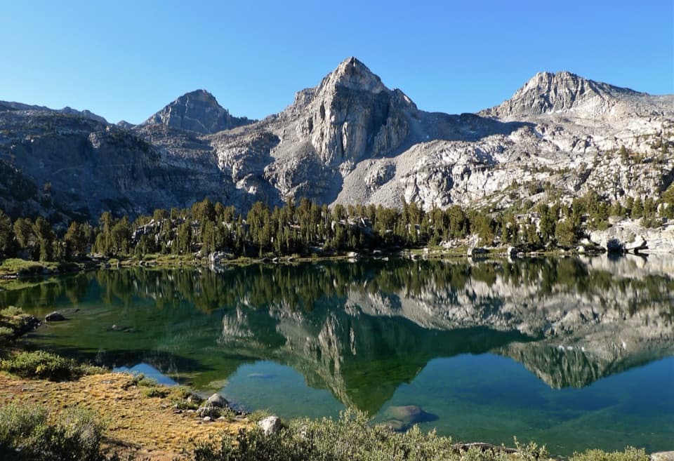
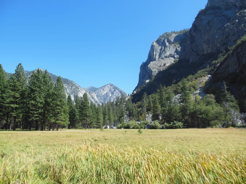
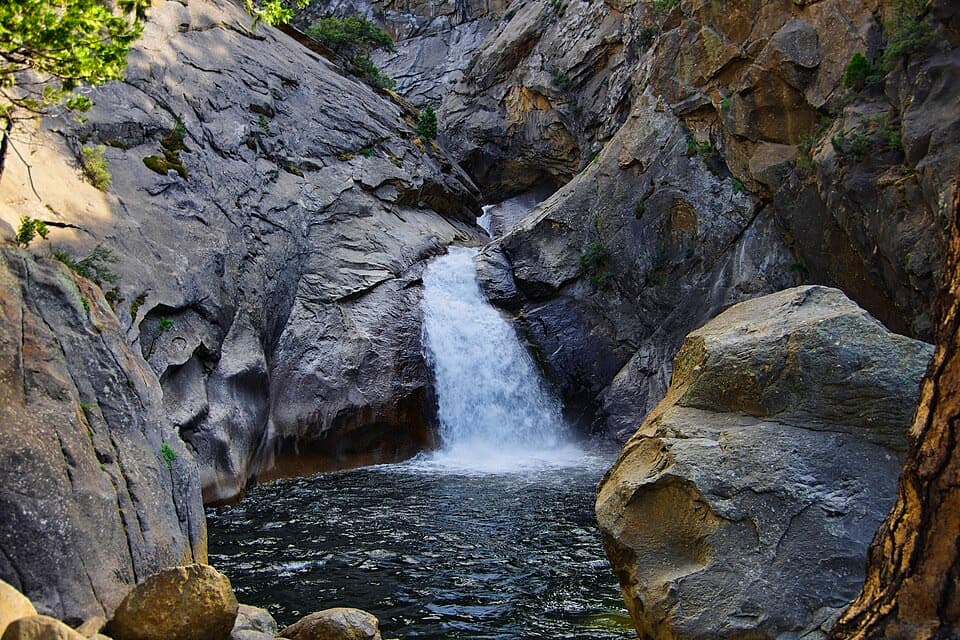
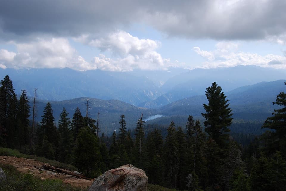
This is a classic desert-to-granite transition with constant canyon views framed by Cardinal Mountain and Goodale Mountain. Around 9,600 feet, look for impressive waterfalls. Near the pass, bedrock shows glacial striations—a reminder of ice that once scoured this crest. From the pass, the panorama opens to big High Sierra country; sunsets can light up Arrow Peak and neighboring summits. Beyond the pass, options fan out toward Bench Lake and the JMT corridor.

Difficulty and timing

This is a very strenuous hike best suited to strong, experienced hikers or backpackers. A fit hiker has reported around 7 hours to reach the pass one way; plan a long day (or make it an overnight). Acclimatization helps—altitude adds sting to the grade.

Water, crossings, and conditions

Do not assume frequent water access in the lower canyon. In some conditions, the first practical access to the creek may not come until a major crossing around mile 4; early season flows there can be strong, high, and icy. Higher up, expect lingering snow patches into September in some years. The trail is rocky, occasionally indistinct, and not recommended for stock.

Logistics

Access the trailhead via a rough, rocky dirt road about 6 miles from US-395; high clearance and slow driving are prudent. Parking is at the end of Taboose Creek Road in a dirt lot; one user report notes “permit required, free, medium lot.” Overnight trips require a wilderness permit from the agency where you start.

Best time to hike

Late summer into early fall is the sweet spot: lower canyon temps are more manageable, creek levels drop, and fall colors can pop in the mid-elevations. In summer, start pre-dawn to beat the heat on the desert miles. Expect very low crowds year-round compared to other Sierra entry points.

Tips

  • Start early (pre-dawn) and carry more water than you think you’ll need for the lower canyon.
  • Wear long pants for the brushy lower miles and sturdy footwear for scree and boulder-hopping higher up.
  • Be conservative at creek crossings—turning back is the right call when flows are unsafe.
  • If your goal is backpacking deeper into Kings Canyon via the JMT/PCT, this pass gives quick, direct access—if you’ve got the legs.

Pros

  • Fast, direct access to remote JMT/PCT country south of Mather Pass
  • Desert-to-alpine scenery in a single, dramatic climb with real solitude

Cons

  • Rough 6-mile dirt road to the trailhead can slow or turn vehicles around
  • Early-season creek crossing can be high, icy, and a trip-ender

Parking

End of Taboose Creek Road via ~6 miles of rough dirt from US-395; medium dirt lot at the trailhead. Overnight trips require a wilderness permit from the entry agency.

Caution

Extreme heat on lower miles, limited early water access, a potentially hazardous creek crossing around mile 4 in early season, sustained 6,000' gain, loose scree near the pass, intermittent route-finding, and a rough access road. Not recommended for stock. No pets on park trails.

The Parkwolf tour guide sitting on a phone mounted in a car

Parkwolf Tour Guide

Like a tour guide in your car.

Bring Kings Canyon trail research into the car, with offline maps and stories that play as you drive.Download Parkwolf on the App Store