Sixty Lakes Basin Trail in Kings Canyon National Park

Kings Canyon National Park, CA

Sixty Lakes Basin Trail

A high, rough side trip from Rae Lakes into an alpine basin.

Photo: CC BY-SA 2.0
Length
6.3mi
Time
6.5hr
Elev. change
768ft
Difficulty
Challenging
  • No dogs
  • High point 11,312 ft
  • #31 of 77 in Kings Canyon
Parkwolf audio tour55 stories across Kings Canyon’s roads

Overview

About Sixty Lakes Basin Trail

Why go

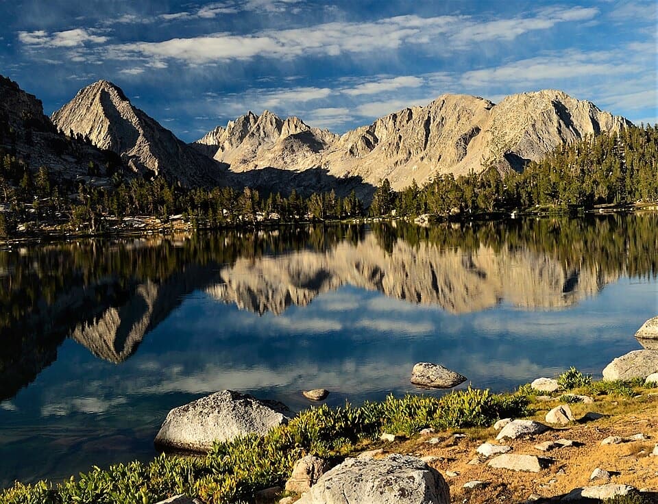
  • Reaches a string of alpine lakes with a wide view back toward Rae Lakes and the Sierra Crest.
  • A substantial basin detour for hikers already traveling the Rae Lakes backcountry.

Heads up

  • The remote junction makes 6.3 miles only a side trip off a much longer approach.
  • Tread fades toward the upper basin, adding route-finding to a high-altitude day.

Map & elevation

The route

Loading the Kings Canyon map
Full map
Elevation10,545–11,312 ft
TrailheadSixty Lakes Basin Trail junction near northern Rae Lake36.82724, -118.42252
Keep this map with you offline in the Parkwolf app

Plan your hike

Before you go

Parking

There is no road access or parking at the trail junction near northern Rae Lake. Reach it on foot on the John Muir Trail through the Rae Lakes backcountry from Road’s End, or via Kearsarge Pass from Onion Valley; those approaches are not included in this trail’s distance.

Safety

The route stays above 10,500 feet, and the upper tread can become faint. Stream crossings on the Rae Lakes approach can be hazardous at high water; check current park conditions. Pets are prohibited on park trails. Overnight trips require a wilderness permit and portable bear-resistant food canisters; campfires are prohibited above 10,000 feet.

8 active Kings Canyon alerts

  • CautionStage 1 fire restrictionsStage 1 fire restrictions are active because high fire danger raises the risk of accidental human-caused fires that could threaten visitors and employees.Official details
  • ClosureGrant Grove trails and areas closed for prescribed fireSome trails and areas around Grant Grove and the General Grant Tree are closed during an active prescribed burn; stay out until crews clear hazards and reopen them.Official details
See all 8 alerts
A park ranger sits on a dash-mounted phone, talking, as Parkwolf’s Tour Guide plays “Army Cutworm Moths: A Grizzly Bear Buffet” on Grand Loop Road below Dunraven Pass in Yellowstone
Parkwolf Tour GuideThe highest, rockiest slopes around here are a summer buffet for grizzly bears.

Kings Canyon Tour Guide

Your drive to Sixty Lakes Basin Trail, narrated.

Parkwolf is a GPS audio tour guide for Kings Canyon National Park. As you drive, it chimes in with what’s ahead: hidden gems, upcoming stops, history, geology, and wildlife, right through your car’s speakers.

See the Kings Canyon audio tour
  • 55 audio storiesacross Kings Canyon’s roads, triggered by GPS as you drive
  • Wildlife heatmapsfor Black Bear, Mule Deer, Marmot, and 13 more
  • Works offlinemaps, 77 trails, 61 places, and audio download before you lose signal
  • CarPlay readysimple controls built for the drive
★★★★★
“…The kids and my husband and I all agree that the narration really added to our experience driving through the parks. We learned so much about the history and the flora & fauna.”
JessestblondeApp Store review
Download Parkwolf on the App StoreGet Parkwolf on Google Play

4.7 from 8,600+ ratings

Trail guide

Hiking Sixty Lakes Basin Trail

What you’re committing toSixty Lakes Basin is a high-country side hike from the Rae Lakes and John Muir Trail corridor.

Sixty Lakes Basin is a high-country side hike from the Rae Lakes and John Muir Trail corridor. The mapped trail runs 3.13 miles one way from a junction near northern Rae Lake into the basin; the visitor distance here is 6.3 miles round trip, returning on the same route. That figure covers only the basin detour, not the long hike to Rae Lakes from Road’s End or Onion Valley. Plan about 6.5 hours for the side trip itself, with more time if altitude, stops or route-finding slow you down. It is a remote, strenuous choice for a day when you are already in the backcountry.

Over the divideThe side trail leaves the John Muir Trail before its stream crossing between the Rae Lakes,…

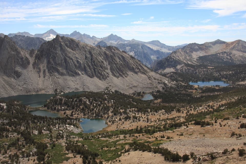
The side trail leaves the John Muir Trail before its stream crossing between the Rae Lakes, then skirts wet ground near northern Rae Lake. It climbs about 600 feet to a low divide. A small lake lies just below the top, and the view opens back across Rae Lakes toward the Sierra Crest. Pause here and look behind you; the little lake in the foreground and the Rae Lakes beyond make the clearest sense of the climb’s payoff.

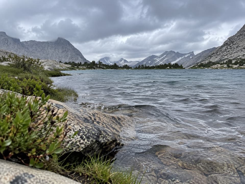
On the basin side, the path drops roughly 400 feet over the next half mile, passing smaller lakes. The change is quick: the climb and the divide are behind you, while the basin’s stream and broad valley lead the walk farther in.

Following the basin streamBeyond the lakes, the route follows the main stream down a shallow, gently sloping canyon for a…

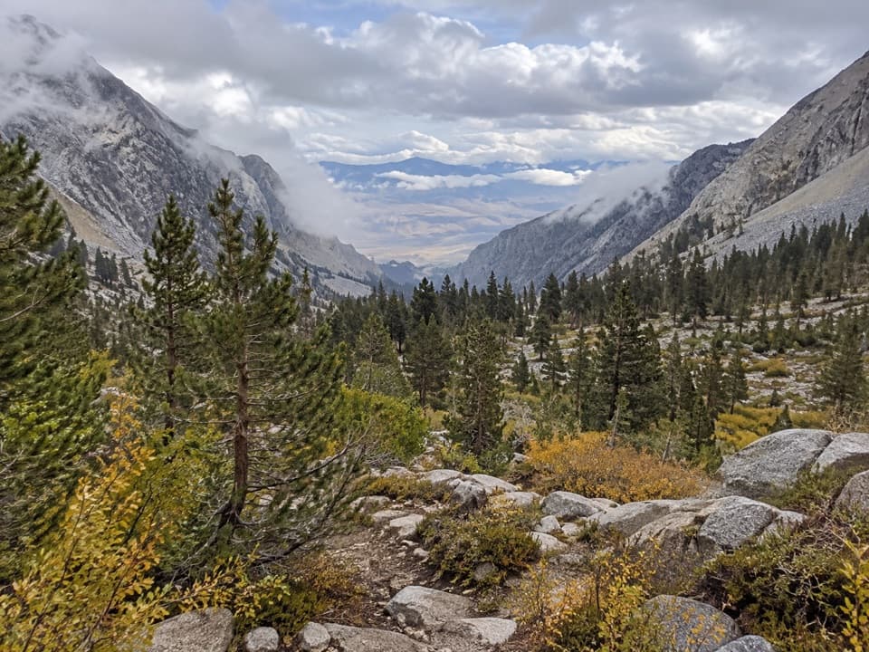
Beyond the lakes, the route follows the main stream down a shallow, gently sloping canyon for a little over a mile, ending near a steep drop in the watercourse toward the South Fork Kings River. The lower lakes and stream corridor are on the mapped route. Higher lakes closer to King Spur sit above it and take separate off-trail excursions; they are not included in the 6.3-mile distance. An alternate scramble from Glenn Pass is a different, off-trail approach, not part of this walk.

Tread and turnaroundThe way back is the same corridor, so save energy for the climb over the divide on your return.

The way back is the same corridor, so save energy for the climb over the divide on your return. The upper end of the basin route can become faint, making this more demanding than its mileage suggests. Keep the mapped line handy and use the stream valley and lakes as landmarks; turn around at the route’s upper endpoint rather than assuming the trail continues to every lake. The mapped corridor stays above 10,500 feet, where altitude can make a steady climb feel harder.

Reaching the junctionThere is no road access or parking at the start: it is a junction on the John Muir Trail near…

There is no road access or parking at the start: it is a junction on the John Muir Trail near northern Rae Lake. Reach it on foot through the Rae Lakes backcountry from Road’s End, or by approaching from Onion Valley over Kearsarge Pass. Those long approaches are separate from the distance and time recorded here, so this is not a drive-to day hike.

Pets are not allowed on park trails. An overnight trip requires a wilderness permit, and portable bear-resistant food canisters are required in the Rae Lakes area. Campfires are prohibited above 10,000 feet. Stream crossings along the Rae Lakes approach can become hazardous when water is high; check current park trail conditions before leaving.

Wildlife

Wildlife in Kings Canyon

All Kings Canyon wildlife maps

Sighting maps show where each species has been reported across Kings Canyon. Wildlife moves, so no sighting is guaranteed.

Parkwolf’s Kings Canyon ranking

Top-rated trails in Kings Canyon

All 77 trails
  1. 1Rae Lakes LoopChallenging · 41.4 mi
  2. 2Mist Falls TrailModerate · 8 mi
  3. 3Zumwalt Meadow TrailEasy · 1.5 mi
  4. 4Roaring River Falls TrailEasy · 0.3 mi
  5. 5Panoramic Point TrailEasy · 0.5 mi
  6. 6Big Stump Loop TrailEasy · 1.6 mi

Take Parkwolf to Kings Canyon.

The audio tour guide for the drive, plus offline maps, trails, and wildlife heatmaps for when the signal drops.

4.7 from 8,600+ ratings

Download Parkwolf on the App StoreGet Parkwolf on Google Play