Parking
A large dirt pullout sits opposite Lewis Creek Trailhead along Highway 180.
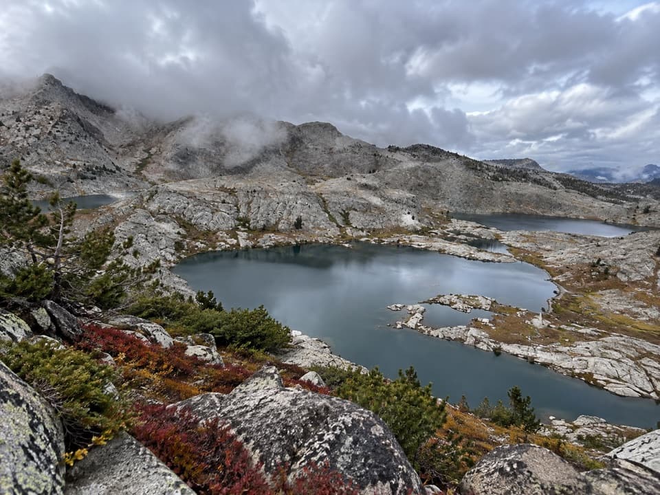
Kings Canyon National Park, CA
A chain of granite lakes rewards a long, rough cross-country route.
Overview
Map & elevation
Plan your hike

The highest, rockiest slopes around here are a summer buffet for grizzly bears.
Kings Canyon Tour Guide
Parkwolf is a GPS audio tour guide for Kings Canyon National Park. As you drive, it chimes in with what’s ahead: hidden gems, upcoming stops, history, geology, and wildlife, right through your car’s speakers.
See the Kings Canyon audio tourRecorded for this trailhead
Lewis Creek Trailhead and Kennedy Pass“Lewis Creek Trailhead is ahead, the start of a steep climb to Kennedy Pass and broad High Sierra views. Save this for a planned backpack: it's about twenty miles round trip with over six thousand feet of climbing.”
Plays as you drive up to this trailhead in the Parkwolf Kings Canyon Tour Guide.
More stories near here in the app
“…The kids and my husband and I all agree that the narration really added to our experience driving through the parks. We learned so much about the history and the flora & fauna.”


Trail guide
This is a rugged wilderness itinerary that joins maintained trail with cross-country travel. Start at Lewis Creek Trailhead, climb Lewis Creek to Kennedy Pass, cross the Volcanic Lakes basin and high country near Granite Basin, then descend Copper Creek toward the Roaring River access. The reported backcountry section is about 32.9 miles with 10,600 feet of climbing. To close the loop, walk roughly 4.8 mapped miles along Highway 180 back to Lewis Creek, for about 38 miles total. Another account estimated the road leg at about six miles, so treat the full distance as approximate. A shuttle to Roaring River skips the road walk but makes this a point-to-point trip. Allow several days; about 36 hours moving is a planning estimate for the full route, not a typical schedule.
The first two miles climb steeply through chaparral and can feel punishingly hot on summer afternoons. Beyond the Hotel Creek junction the tread narrows and gets brushier, with stream crossings and a gradual change into open subalpine woods and meadows. Frypan Meadow is about 5.5 miles from the start and the first allowed campsite on this approach.
North of Kennedy Pass, the Lewis Creek tread becomes difficult to follow. The route leaves maintained trail for steep, loose talus and granite slabs around Kennedy Mountain and East Kennedy Lake before dropping into the Volcanic Lakes basin. The basin holds about a dozen lakes in polished granite bowls. This is a navigation-heavy section; do not expect a signed trail across the high country.
Beyond the lakes, the route crosses open rocky country near Granite Pass and Munger Peak before reaching the Copper Creek corridor above Grouse Lake and Upper Tent Meadow. The Lip looks into Granite Basin, and Grouse Lake has a narrow sandy shore. Between these landmarks, the route report describes off-trail talus and slab travel rather than a continuous path.
Copper Creek drops from the high meadows through manzanita, brush and forest to Highway 180 near the Roaring River access. The final road connection follows the highway back to the Lewis Creek start. It is paved roadside walking, not a trail. Arrange a shuttle if you want to end at Roaring River instead of walking the road; confirm the shoulder and current conditions before choosing the full circuit.
Overnight travel requires a wilderness permit; reservation and fee rules vary by season. Pets are not allowed on park trails. The Cedar Grove section of Highway 180 closes seasonally, generally around mid-November until spring, so check current road status before relying on either end of the route.
Wildlife
 227 sightingsBlack BearMost seen around 7 PMSighting map
 385 sightingsMule DeerMost seen around 7 PMSighting map
 188 sightingsMarmotMost seen around 8 AMSighting map
 118 sightingsPikaMost seen around 7 AMSighting map
 14 sightingsGolden TroutMost seen around 7 PMSighting map
 32 sightingsRainbow TroutMost seen around 7 PMSighting map
Sighting maps show where each species has been reported across Kings Canyon. Wildlife moves, so no sighting is guaranteed.
Keep exploring
 ChallengingLewis Creek Trail to Kennedy Pass19.6 mi · 18 hr · At the trailheadA steep, high-country climb to a broad Sierra pass.
 ModerateSheep Creek Cascade Trail2 mi · 1.5 hr · 1.3 mi awayA short climb to small falls in a shady Cedar Grove ravine.
 ChallengingLookout Peak via Don Cecil Trail11 mi · 8 hr · 1.3 mi awayA long historic climb opens over the whole canyon.
 ChallengingCedar Grove Overlook via Hotel Creek Trail4.4 mi · 3.5 hr · 1.4 mi awayA steep 4.4-mile out-and-back to Kings Canyon views
 ModerateHotel Creek–Lewis Creek Loop8 mi · 5 hr · 1.4 mi awayCedar Grove loop with a canyon view and quiet pine stretch.
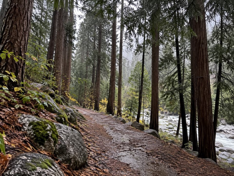 EasyCedar Grove River Road Walk6.6 mi · 2.5 hr · 1.4 mi awayA flat riverside road walk beneath granite cliffs.
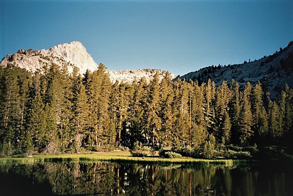 ChallengingGrizzly Lakes via Deer Cove Trail17.5 mi · 12 hr · 1.4 mi awayA steep, all-day climb to lakes beneath Mount Harrington.
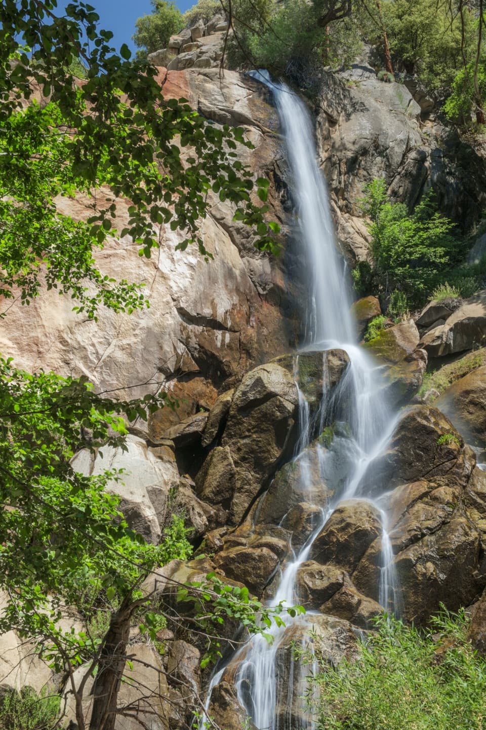 EasyGrizzly Falls Trail0.1 mi · 20 min · 2.9 mi awayAn 80-foot waterfall rewards a short walk from the picnic area.
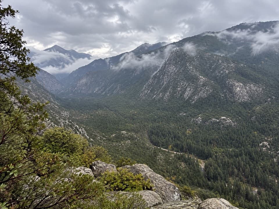 Sight · 0.7 mi awayCedar Grove OverlookA steep climb to a broad mid-canyon view.
 Campground · 0.8 mi awaySheep Creek CampgroundA shady riverside base in the heart of Cedar Grove.
 Campground · 1.2 mi awaySentinel CampgroundSleep near the Kings River, with Cedar Grove trails close by.
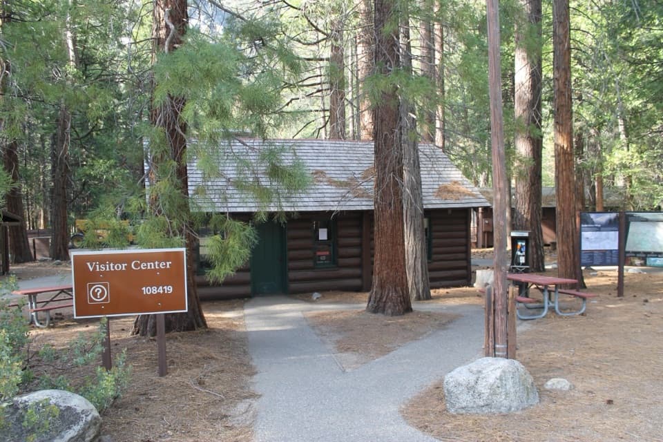 Visitor center · 1.3 mi awayCedar Grove Visitor CenterA handy cabin stop for maps and ranger advice before the canyon.
 Sight · 1.3 mi awayCedar Grove AmphitheaterA forest theater for ranger talks when Cedar Grove's program is on.
 1.5 mi awayCedar Grove Showers and LaundryA practical wash-up and laundry stop in Cedar Grove.
 Lodging · 1.5 mi awayCedar Grove Lodge and MarketSeasonal rooms, riverside dining and supplies in the canyon
 Sight · 1.7 mi awayCedar Grove Pack StationHorseback rides follow the river through Cedar Grove.
Parkwolf’s Kings Canyon ranking

The audio tour guide for the drive, plus offline maps, trails, and wildlife heatmaps for when the signal drops.





