
Place
Challenging
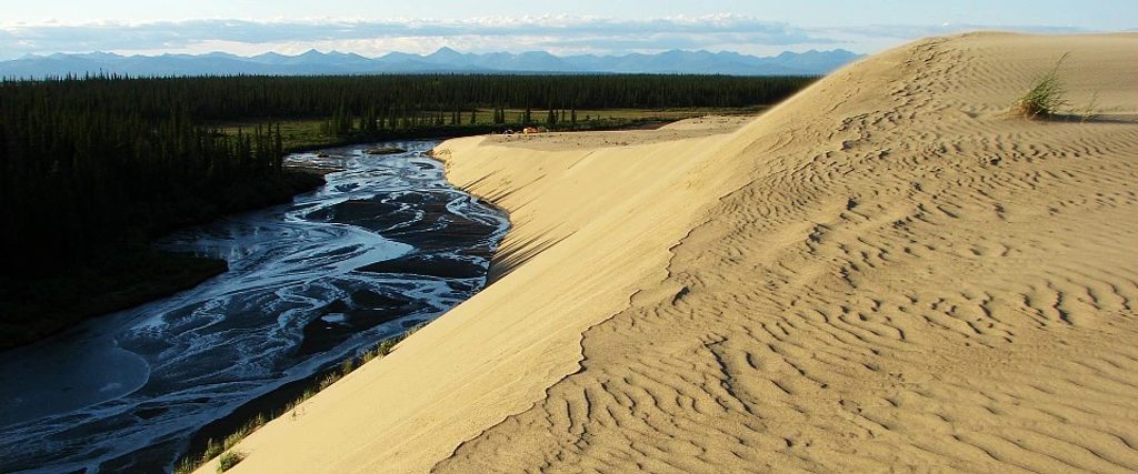
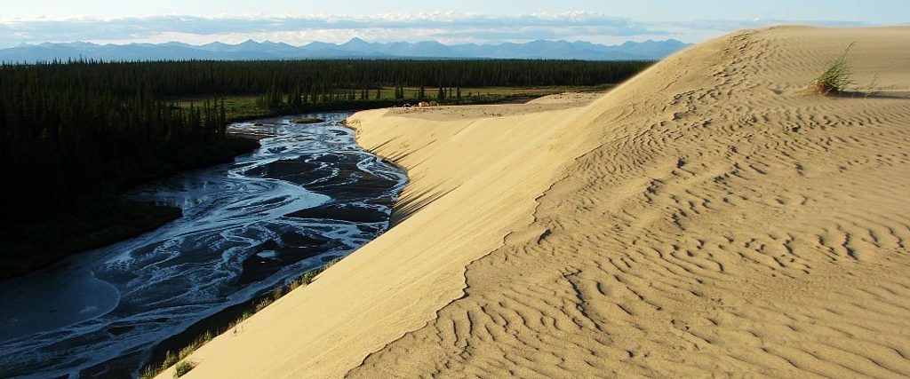
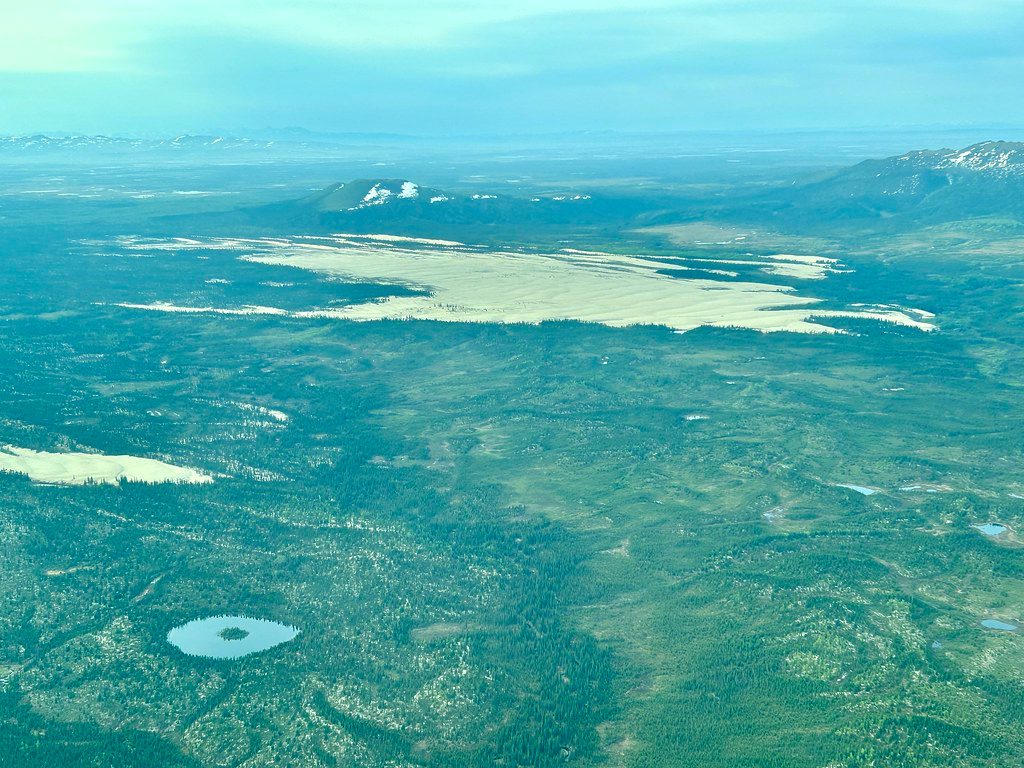
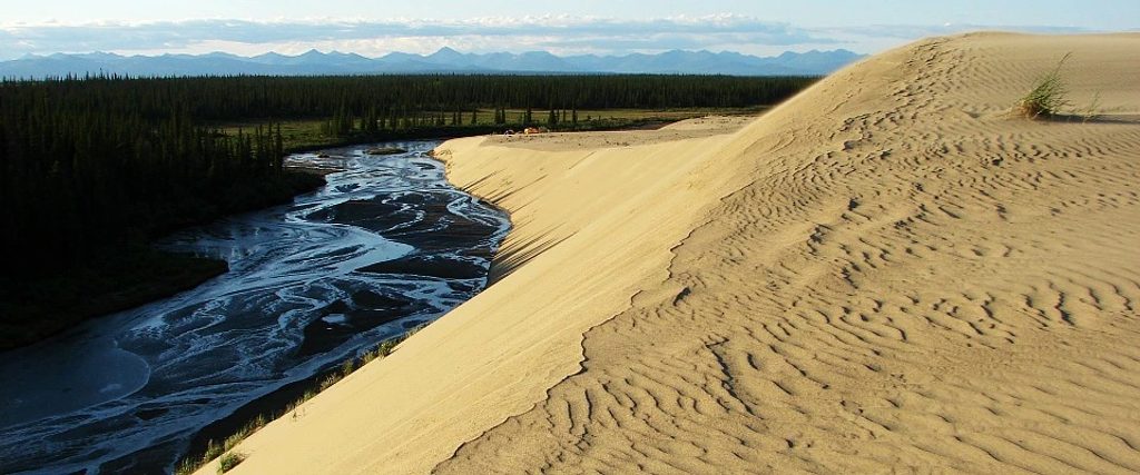
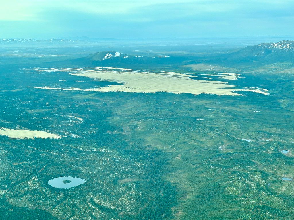
There isn’t a built or signed trail called the “Crest Walk” here—this is pure, off‑trail exploration on the Great Kobuk Sand Dunes. Think Sahara‑style ridgelines rising out of boreal forest, except you’re above the Arctic Circle. The active dune field covers roughly 25 square miles, with crests around 100 feet high. Expect solitude, big sky, and the freedom to set your own route. There’s no fixed mileage; you choose an out‑and‑back or informal loop along the dune crests.
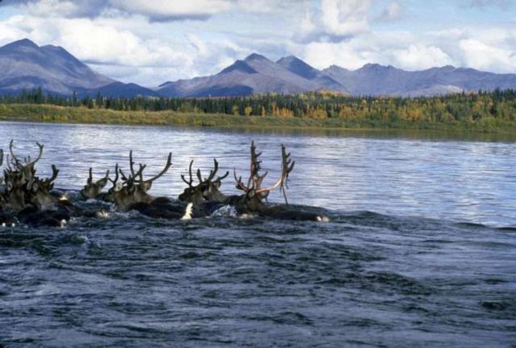
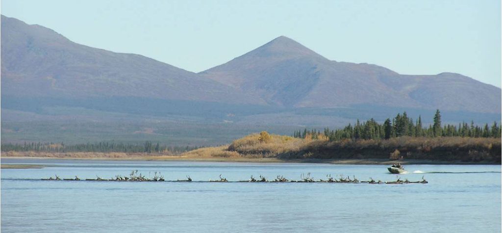
From the crests, you’ll look out over rippling golden sand framed by spruce and tundra. Along the margins, plants are slowly reclaiming the dunes—grasses, sedges, mosses, lichens, and shrubs creeping in. Watch for animal sign—tracks, bones, and scat—and in summer you may spot wildflowers like forget‑me‑nots punctuating the sand. In spring and fall, thousands of caribou may cross the dunes, leaving distinctive hoofprints. Human encounters are rare; the most common interruption is a bush plane droning past.
Most visitors charter a small plane; wheel‑equipped aircraft can land right on the sand. Alternatively, get dropped by floatplane or boat on the Kobuk River and hike about 2–3 miles across tundra to reach the dune edge (roughly a 4‑hour round‑trip orienteering effort just for the approach). Once on the sand, pick a ridgeline and follow it as far as you like. If camping, you can pitch on any level sandy surface—just anchor your tent well against wind. Filter water from nearby creeks if you’re staying overnight.
This is real backcountry. There are no markers, no facilities, and navigation is on you. In summer, dune surfaces can heat up to around 100°F—brutal without sun protection and plenty of water. Avoid visibly wet depressions and stream margins where water‑saturated sand can act like “quicksand.” Wind reshapes the dunes and can sandblast exposed skin. Bears aren’t common on the open sand but do use nearby forest; store food well away from sleeping areas. Mosquitoes can be fierce near water and in the woods—bring head nets.
Summer is the prime season for long daylight and generally dry conditions, but plan for heat on the sand. Early summer can still hold lingering snow drifts. Fall brings more variable weather—and your best odds of caribou movement—but shorter days and colder nights. Winter conditions are extreme and not advisable for most visitors.
There’s no official distance. Consider it a choose‑your‑own wander across the crests. If you’re approaching from the Kobuk River, budget about 4 hours round trip just for the approach across tundra, plus whatever time you spend on the dunes.
No road access or trailhead parking; arrive by bush plane landing on the sand, or by floatplane/boat to the Kobuk River and hike 2–3 miles across tundra to the dunes.
No marked routes; bring real navigation skills. Summer sand temps can reach ~100°F. Avoid water‑saturated sand near creeks that can act like quicksand. Expect strong winds, blowing sand, mosquitoes near water, and bear country protocols in adjacent forest. Coordinate charter pick‑ups carefully.
Place
Place
Place
Place
Challenging
Challenging
Challenging
Challenging

Parkwolf Tour Guide
