
Place
Challenging
This is a true backcountry ramble: a 22–28 mile, off-trail, lollipop-style backpack through the high tundra ridges of the Jade Mountains. Expect a moderate–strenuous effort driven less by steep grades and more by exposure, wind, and pure route-finding. There’s no constructed tread—just your line across rolling tundra, linking ridgelines with 360-degree views. It’s typically done as a multi-day trip with high, airy camps.
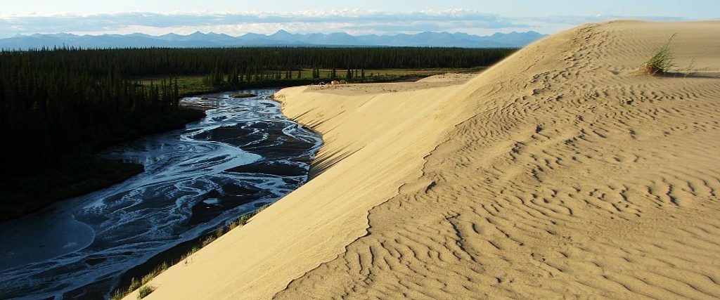
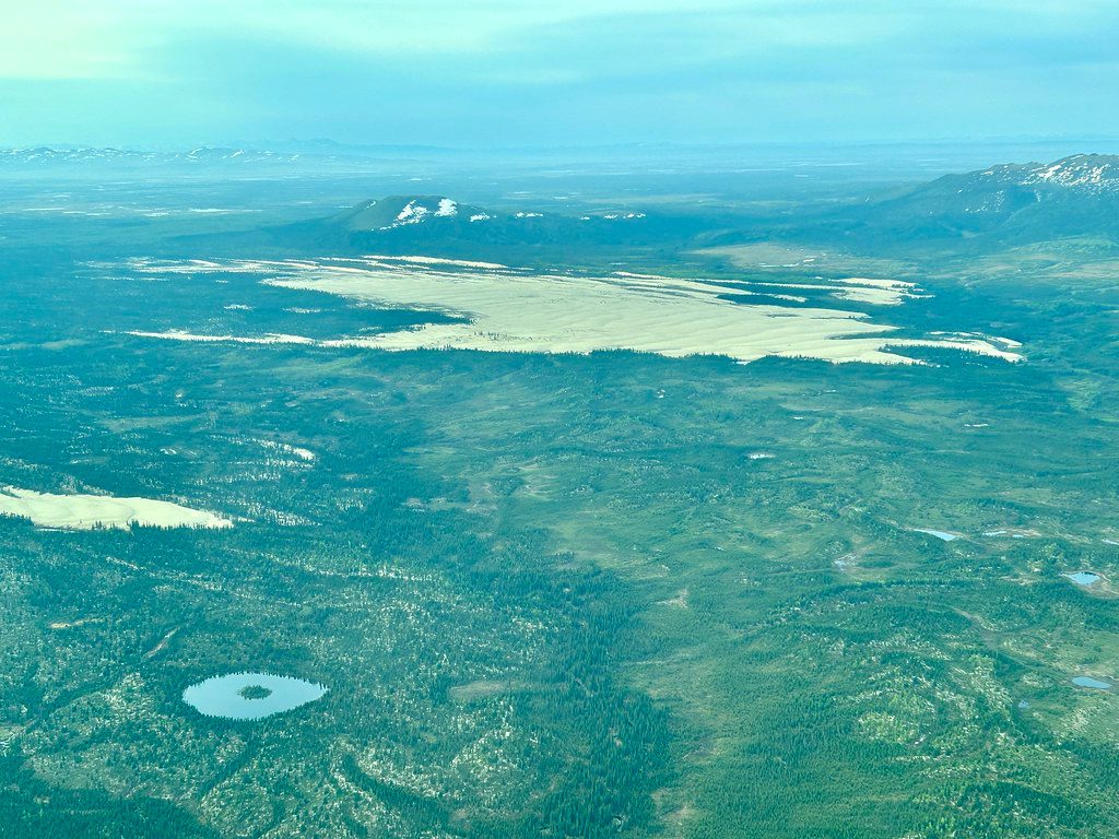
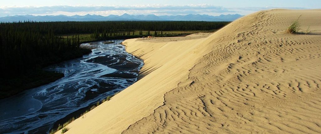
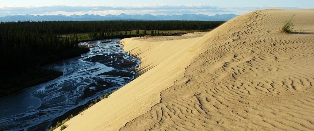
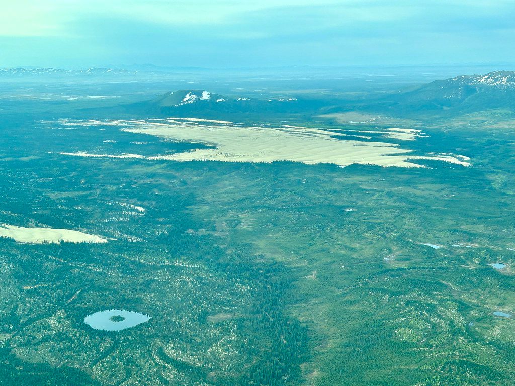
From the ridges you’ll look across a vast Arctic landscape—distant peaks in one direction, the Great Kobuk Sand Dunes in another. Underfoot, most of the travel is on firm, spongy tundra with occasional tussocks. Late season flips the color switch: blueberries stain your fingers and the tundra turns gold to deep crimson—prime time for photos and big-sky sunsets.
The loop section “threads ridgelines,” using an out-and-back stem to close the lollipop. There’s no signage or tread, so you’ll choose the cleanest contours and wind-aware camps as you go. While the ridges are generally friendly walking, expect intermittent tussock patches and long, exposed stretches where weather has the final say.
Water is intermittent up high—think scattered tarns and snowmelt rivulets. Plan your carries between sources. Camps are best on breezy knolls with huge views; bring a shelter that’s happy in the wind and pick sites that balance scenery with protection.
Late August into early fall is the sweet spot for berries and the tundra’s gold-red palette. Earlier in the season, snowmelt adds to the trickles you’ll find along the ridges. This is not a route to tie to rigid daily miles; plan around wind, visibility, and water spacing instead.
You’ll love this if you’re an experienced backpacker who enjoys off-trail navigation, big horizons, and the creative freedom of choosing your own line. If you want a signed, on-trail hike with frequent water and established camps, this isn’t it.
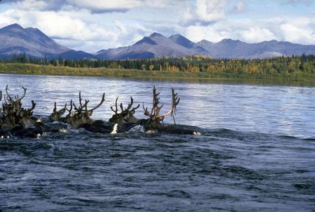
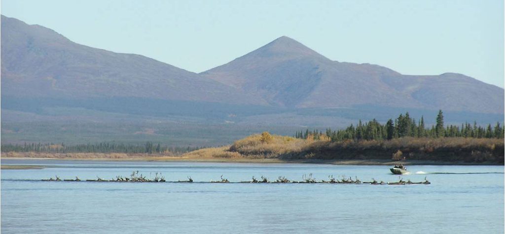
The broader park is defined by singular geology—the Great Kobuk Sand Dunes, the largest active dunes in the Arctic. The region is also tied to caribou migration history at places like Onion Portage. Keep an eye out for caribou sign as you traverse the high country.
Kobuk Valley is roadless wilderness. There’s no trailhead parking; access typically involves flying from Kotzebue and starting your hike from a backcountry landing zone. No reservations are required for this route. Bring redundant navigation, wind-ready gear, and extra water capacity. Exposure, weather, and route-finding—not mileage—are the main challenges here.
No parking or road access; fly-in backcountry route typically staged from Kotzebue.
Fully off-trail with significant exposure and variable visibility; water is intermittent (tarns and snowmelt only). Bring redundant navigation and a wind-worthy shelter.
Place
Place
Place
Place
Challenging
Challenging
Challenging
Challenging

Parkwolf Tour Guide
