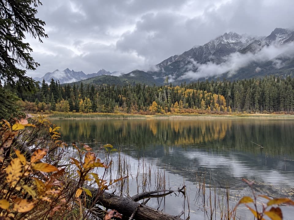
Dog Lake in Kootenay National Park

Sight · Kootenay National Park

Dog Lake

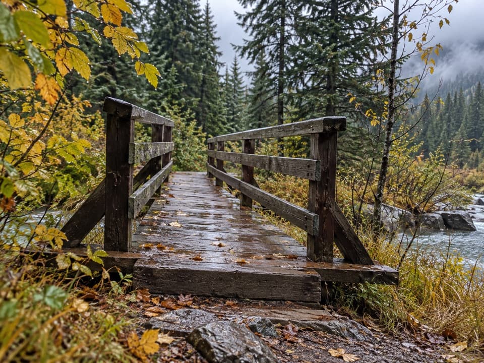
Two river bridges lead through old-growth forest to a mountain lake.

Type
Sight
Nearest trail
1.9 km
Audio stories
4 nearby
  • Trailhead
  • Parking

Hear the audio tour

Dog Lake Trailhead: Bridges and a Forest Walk

Overview

About Dog Lake

Why stop

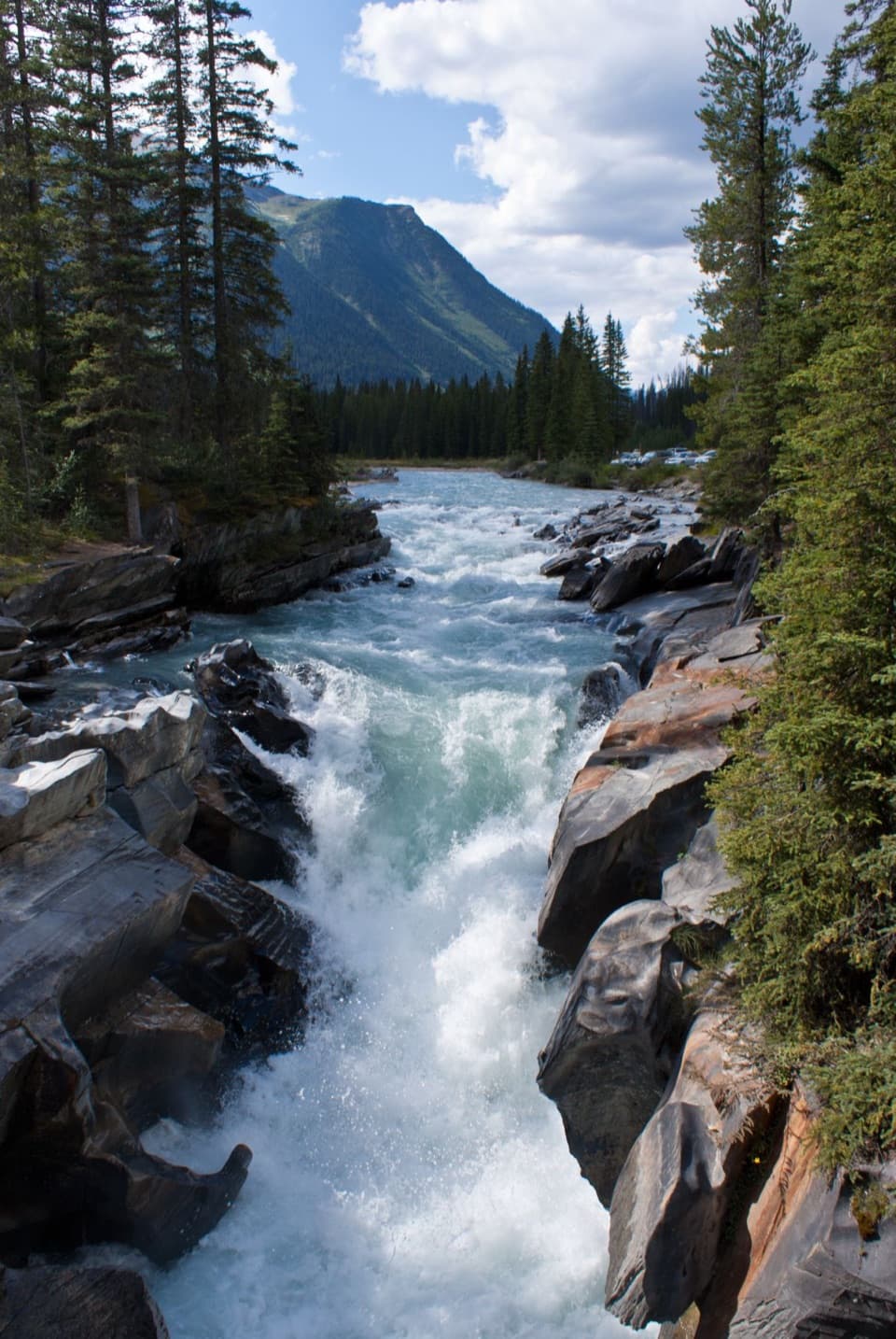
  • Two suspension bridges over the Kootenay River
  • Old-growth approach to a mountain-framed lake

Heads up

  • About 5.2 km on foot to reach the lake and return
  • The northern shoreline is marshy in places

Map

Where it is

Loading the Kootenay map
Full map
SightDog Lake50.78004, -115.92921
Keep this map with you offline in the Parkwolf app

Plan your stop

Before you go

5 active Kootenay alerts

  • ClosureDog Lake Loop closedMentions this placeDog Lake Loop is closed; do not use this trail. Check current day-hike conditions before setting out.Official details
  • ClosureWatercraft and angling prohibitedWatercraft and angling are prohibited on every waterbody in Kootenay National Park until March 31, 2027, to reduce the spread of aquatic invasive species (AIS), including whirling disease.Official details

See all 5 alerts
A park ranger sits on a dash-mounted phone, talking, as Parkwolf’s Tour Guide plays “Army Cutworm Moths: A Grizzly Bear Buffet” on Grand Loop Road below Dunraven Pass in Yellowstone
Parkwolf Tour GuideThe highest, rockiest slopes around here are a summer buffet for grizzly bears.

Kootenay Tour Guide

Your drive to Dog Lake, narrated.

Parkwolf is a GPS audio tour guide for Kootenay National Park. As you drive, it chimes in with what’s ahead: hidden gems, upcoming stops, history, geology, and wildlife, right through your car’s speakers.

See the Kootenay audio tour

Recorded for this place

Dog Lake Trailhead: Bridges and a Forest Walk
0:00 / 0:22
“You're nearing the Dog Lake trailhead at McLeod Meadows, for a forest walk across two suspension bridges over the Kootenay River.”

Plays as you drive up to Dog Lake in the Parkwolf Kootenay Tour Guide.

More stories near here in the app

  • McLeod Meadows Campground: Camping by the River
  • A Conifer That Drops Its Needles
  • A Squirrel’s Cone Pile
  • Seeds Waiting for Heat
  • 49 audio storiesacross Kootenay’s roads, triggered by GPS as you drive
  • Wildlife heatmapsfor Grizzly Bear, Gray Wolf, Moose, and 13 more
  • Works offlinemaps, 38 trails, 29 places, and audio download before you lose signal
  • CarPlay readysimple controls built for the drive
★★★★★
“Fantastic app with many points of information… It’s great to just turn on while you’re driving and it gives you an audio tour of the national Park. We love it!!!!”
JMJamesApp Store review
Download Parkwolf on the App StoreGet Parkwolf on Google Play

4.7 from 8,600+ ratings

Guide

More about Dog Lake

A lake at the end of a forest walkDog Lake is a small subalpine lake at 1,268 m, tucked between the Kootenay River and Mount…

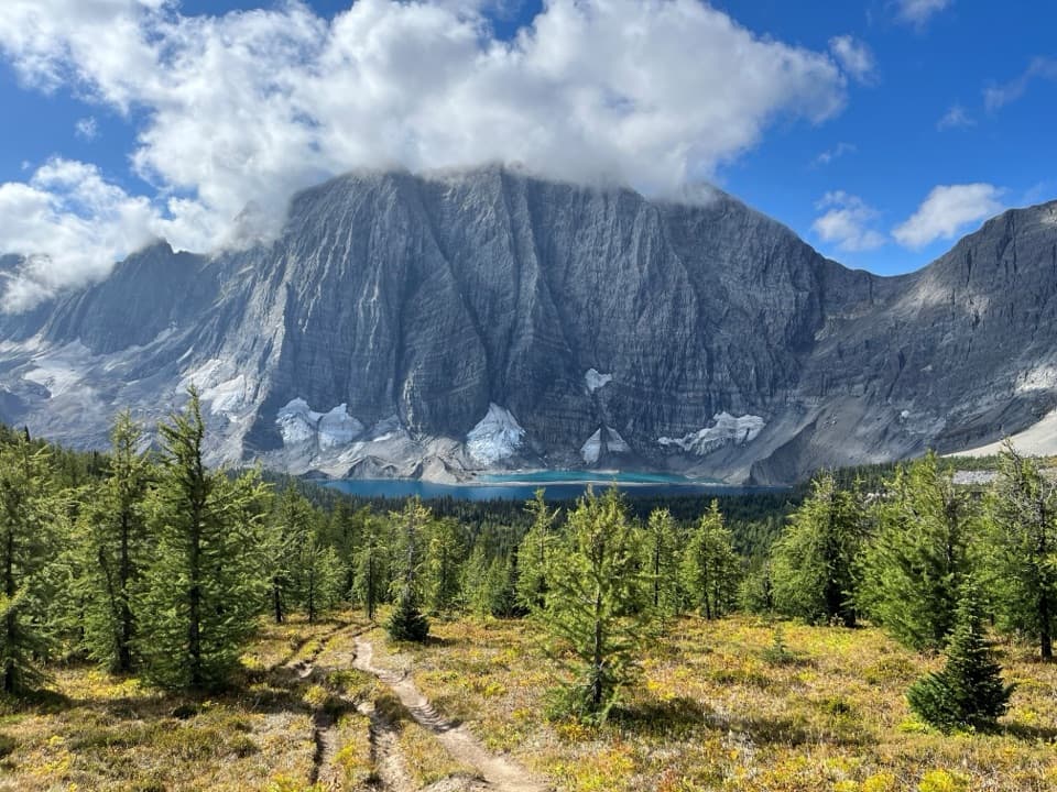
Dog Lake is a small subalpine lake at 1,268 m, tucked between the Kootenay River and Mount Harkin. It is a hiking destination rather than a roadside stop: the lake option from Dog Lake Day-use Area is 2.6 km one way, or about 5.2 km out and back if you turn around at the water. The day-use area is 28 km north of Radium Hot Springs. Bring food and drinking water for the walk.

The river crossings and forest approachThe trail crosses two suspension bridges over the Kootenay River, then meanders through…

The trail crosses two suspension bridges over the Kootenay River, then meanders through old-growth forest before climbing and descending to the lake. The full Dog Lake Loop is 7 km and takes about 2.5 hours, with 195 m of climbing and descent. This is a proper walk, not a quick photo pullout.

A marshy shore and mountain backdropThe lake's northern end is edged with reeds and soft, marshy ground; a more open strip of rock…

The lake's northern end is edged with reeds and soft, marshy ground; a more open strip of rock and mud lies roughly half a kilometre farther south. Across the water, look for Mount Harkin with the Mitchell Range behind it. On a calm day the range can reflect in the lake. For a photo, leave a band of water beneath the mountain line to catch that reflection when it appears.

A name with no clear originDog Lake was officially named in 1966, though the name was already established locally.

Dog Lake was officially named in 1966, though the name was already established locally. Its origin remains unclear.

Wildlife

Wildlife in Kootenay

All Kootenay wildlife maps

Sighting maps show where each species has been reported across Kootenay. Wildlife moves, so no sighting is guaranteed.

Parkwolf’s Kootenay ranking

Top sights in Kootenay

All 29 places
  1. 1Radium Hot SpringsSight
  2. 2Marble CanyonSight
  3. 3Paint PotsSight
  4. 4Floe LakeSight
  5. 5Numa FallsSight
  6. 6Kootenay Valley ViewpointSight

Take Parkwolf to Kootenay.

The audio tour guide for the drive, plus offline maps, trails, and wildlife heatmaps for when the signal drops.

4.7 from 8,600+ ratings

Download Parkwolf on the App StoreGet Parkwolf on Google Play