Parking
Park at Dog Lake Day-use Area beside the Banff-Windermere Parkway, about 28 km north of Radium Hot Springs. Toilets are available.
Kootenay National Park, BC
An easy fire road to Daer Creek with two river bridges.
Overview
Map & elevation
Plan your hike

The highest, rockiest slopes around here are a summer buffet for grizzly bears.
Kootenay Tour Guide
Parkwolf is a GPS audio tour guide for Kootenay National Park. As you drive, it chimes in with what’s ahead: hidden gems, upcoming stops, history, geology, and wildlife, right through your car’s speakers.
See the Kootenay audio tourRecorded for this trailhead
Dog Lake Trailhead: Bridges and a Forest Walk“You're nearing the Dog Lake trailhead at McLeod Meadows, for a forest walk across two suspension bridges over the Kootenay River.”
Plays as you drive up to this trailhead in the Parkwolf Kootenay Tour Guide.
More stories near here in the app
“Fantastic app with many points of information… It’s great to just turn on while you’re driving and it gives you an audio tour of the national Park. We love it!!!!”


Trail guide
East Kootenay Trail is a forest out-and-back from Dog Lake Day-use Area to Daer Creek, following Dog Lake Trail and then the former East Kootenay fire road. The mapped leg is about 7.2 km each way, or 14.4 km (9 mi) round trip. Allow 4 to 5 hours. The grade is generally easy, but the mileage makes this a half-day walk.
Older park materials list 12 km one way for the full Pitts Creek–Daer Creek corridor. This route follows the northern McLeod Meadows–Daer Creek leg and returns to the day-use area; it leaves out the southern continuation toward Pitts Creek.
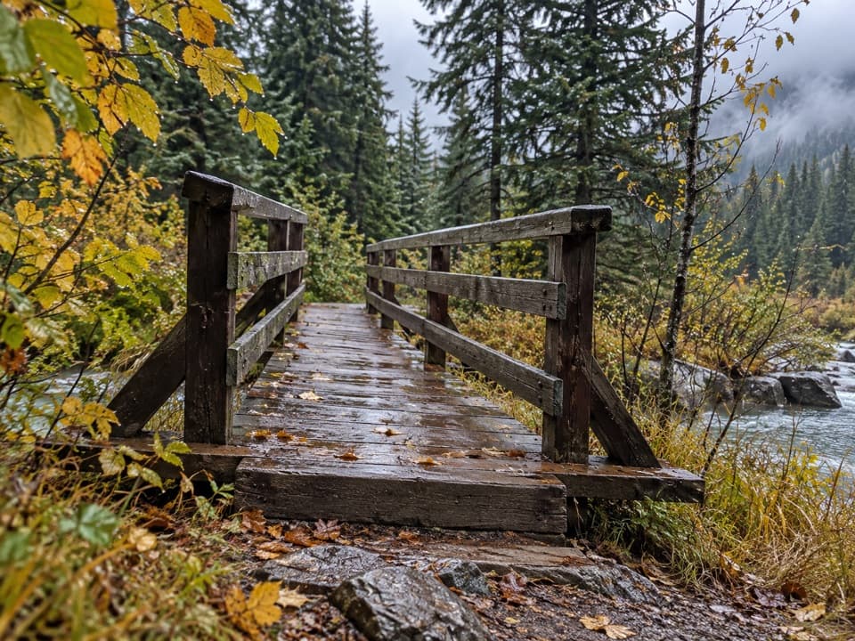
Start at Dog Lake Day-use Area near McLeod Meadows, about 28 km north of Radium Hot Springs. Dog Lake Trail crosses two bridges over the Kootenay River and passes through old-growth forest before joining the former fire road. The path climbs to its high point, then drops toward Daer Creek. The bridges are the walk’s best photo stop: frame the water through the timber rails with the forest beyond.
The older park guide says there is no bridge over Daer Creek. Treat the creek as the turnaround unless current Parks Canada information confirms a safe crossing. Dogs are allowed on leash.
Wildlife
 41 sightingsGrizzly BearMost seen around 8 PMSighting map
 31 sightingsGray WolfMost seen around 8 PMSighting map
 22 sightingsMooseMost seen around 6 AMSighting map
 84 sightingsMountain GoatMost seen around 7 PMSighting map
 522 sightingsBighorn SheepMost seen around 7 AMSighting map
 65 sightingsElkMost seen around 6 AMSighting map
Sighting maps show where each species has been reported across Kootenay. Wildlife moves, so no sighting is guaranteed.
Keep exploring
 ModerateDog Lake Loop7 km · 2.5 hr · 0.1 km awayTwo Kootenay River bridges lead through old growth to Dog Lake.
 EasyOlive Lake Trail0.6 km · 15 min · 10 km awayA quick boardwalk break gives you an emerald lakeshore in minutes.
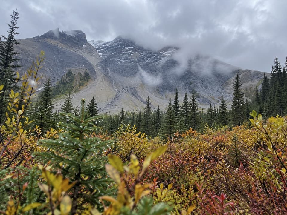 ChallengingSinclair Creek Trail12.4 km · 6 hr · 10.1 km awayA steep climb from the creek to alpine meadows below the col.
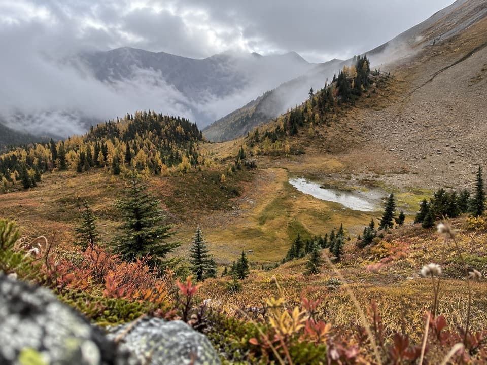 ChallengingKindersley-Sinclair Loop16.3 km · 8 hr · 10.1 km awayA hard climb through meadows to a high col; arrange the shuttle.
 ModerateCobb Lake Trail5.4 km · 2 hr · 10.7 km awayA forested out-and-back to a quiet lake, with a steady climb back.
 ChallengingKindersley Pass20 km · 8 hr · 11.1 km awayA big climb with its broadest views beyond the pass.
 ModerateKimpton Creek6.4 km · 2.5 hr · 13.1 km awayA shaded creek walk on a narrow, sometimes rough forest trail.
 ModerateRedstreak Creek Trail4.6 km · 1.5 hr · 14.4 km awayA quiet creek walk with a steady climb through shaded forest.
 Picnic area · At the trailheadMcLeod Meadows Day-use AreaA cool, shaded picnic break at the Dog Lake trailhead.
 Campground · 0.4 km awayMcLeod Meadows CampgroundUnserviced camping beside the Kootenay River.
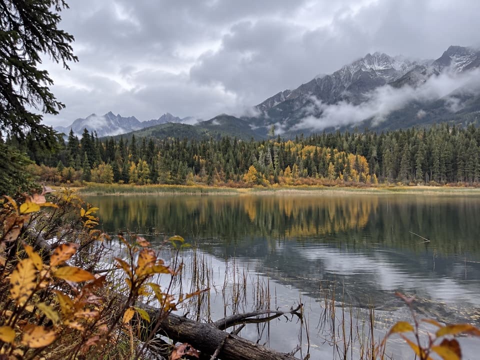 Sight · 1.9 km awayDog LakeTwo river bridges lead through old-growth forest to a mountain lake.
 Picnic area · 3.4 km awayKootenay River Day-use AreaA riverside picnic stop along Highway 93 South
 Picnic area · 8.6 km awayDolly Varden Day-use AreaA picnic stop with a close-up lesson in wildlife crossings.
 Sight · 10 km awayOlive LakeBright green water makes this quick roadside walk worth the break.
 Sight · 10.7 km awayKootenay Valley ViewpointA quick roadside panorama of the Mitchell and Vermilion ranges
 Sight · 12.4 km awayCobb LakeA forest-fringed lake at the end of a two-hour walk.
Parkwolf’s Kootenay ranking

The audio tour guide for the drive, plus offline maps, trails, and wildlife heatmaps for when the signal drops.