Floe Lake

Turquoise alpine lake reached by a tough, rewarding climb
Floe Lake, Kootenay National Park
InsideKootenay National Park

Overview

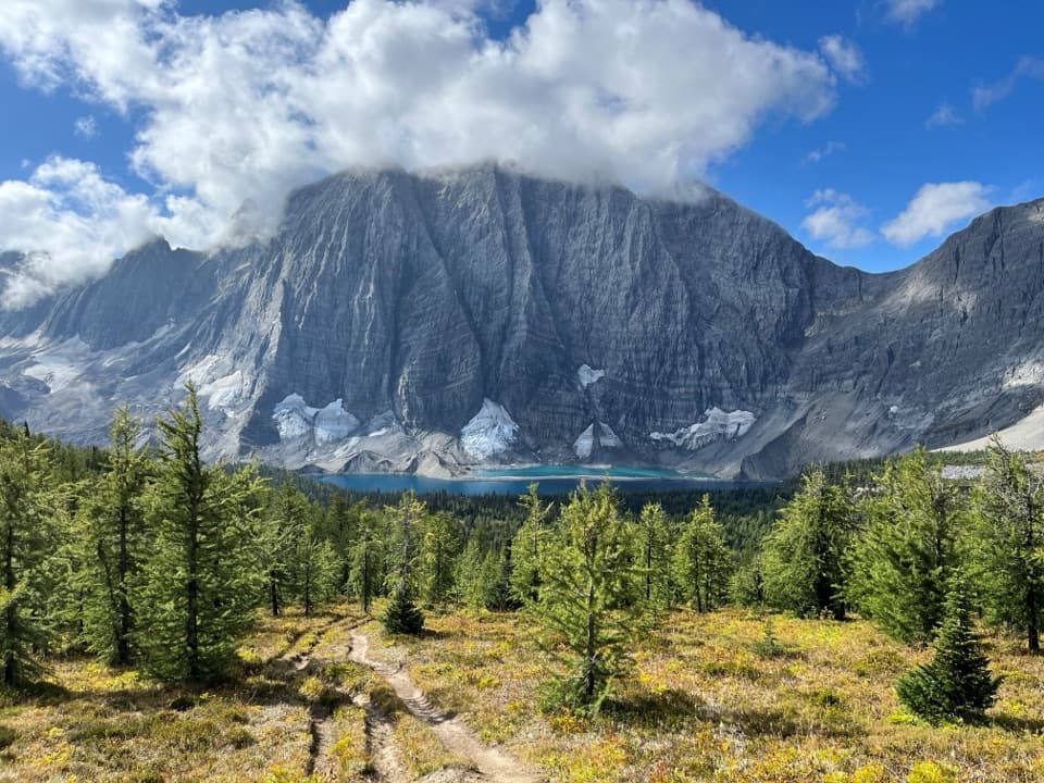
Floe Lake is the showpiece at the end of a tough climb: a cold, glacier-fed basin backed by sheer rock walls and ringed by subalpine forest. It’s a marquee stop on the Rockwall corridor and feels wild and remote the moment you crest the final switchbacks.

The Hike In

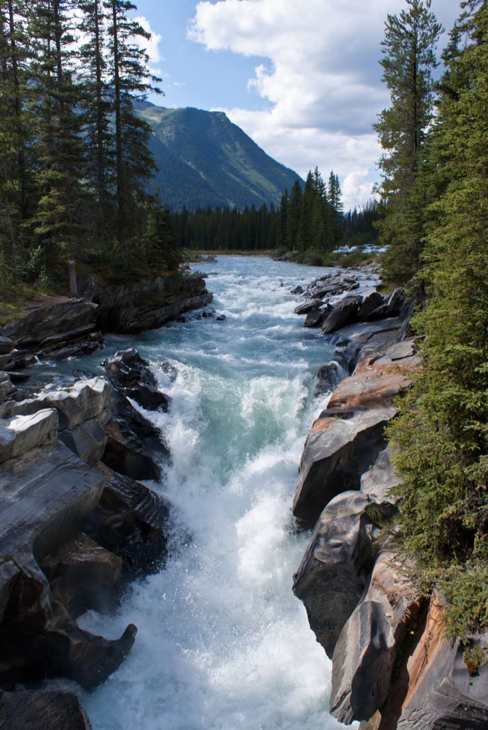
The trail starts from Highway 93S and eases you in before crossing the Kootenay River and another creek. It then traverses the sun-exposed, post-burn slopes on the south side of Numa Mountain—beautiful in summer meadows but hot on clear days. Past a handy creek rest spot around 6.5 km, the grade ramps up. The final 2 km are steep dirt switchbacks that account for much of the climb; they’re shaded in places and open up to big-mountain views before the trail levels through pine to the lake.

At the Lake

Expect bone-chilling water, even in peak summer—great for a refreshing foot soak if you’re brave. A historic warden cabin sits near the shore (not open to the public). Morning light is prime for photos; by early afternoon Floe Peak throws the lake into shadow.

Numa Pass Bonus

If you’ve still got gas in the tank, continue past the campground toward Numa Pass for about 5 km roundtrip and another ~350 m of climbing. You’ll wander through forest and a larch-studded valley to an airy ridge with panoramic views of Floe Peak and the surrounding summits.

Camping Details

The backcountry campground at the lake is popular and reservation-only, with 18 designated pads. Facilities include pit toilets, bear-proof food lockers, and picnic tables; there are no fires allowed, so bring a stove. Collect drinking water from the lake and treat it. Dogs are allowed but must be leashed. Pack out all trash—there are no bins beyond the trailhead.

Season, Conditions, and Safety

The usual operating window is roughly July 10 to early October; outside that, expect snow and closed bookings. Even in summer, nights can be cold. There’s no cell service, so carry offline maps and consider a satellite communicator. This is bear country—carry bear spray and know how to use it. Avalanches are a risk from early winter into early summer anywhere above treeline.

Regulations You Should Know

All waterbodies in the park are closed to watercraft and angling until March 31, 2026 to prevent the spread of aquatic invasive species. Drones are not permitted. If and when angling reopens, a national park fishing permit (not a provincial license) is required, and bait/lead restrictions apply. Always follow Leave No Trace and stay on designated trails.

Best Time to Visit

Aim for midsummer to early fall within the official season. Start early for cooler temperatures, lighter traffic on the trail, and the best photography—morning light hits the water before afternoon shadows from Floe Peak. The small trailhead lot fills fast in peak season; overflow parking is along the highway shoulder—use caution and display a valid park pass.

Pros

  • Stunning turquoise glacial lake beneath dramatic cliffs
  • Backcountry campground with bear lockers, pit toilets, and picnic tables

Cons

  • Long, steep hike with significant elevation and exposure
  • Short operating season and no cell service

Tips

  • Start at dawn for easier parking and the best light on the lake.
  • Carry bear spray, download offline maps, and don’t count on cell service.
  • Bring a stove—campfires aren’t allowed; treat all lake water before drinking.
  • If you have energy, tack on Numa Pass for big panoramic views.
  • No fishing or watercraft on any park lakes until March 31, 2026.
The Parkwolf tour guide sitting on a phone mounted in a car

Parkwolf Tour Guide

Like a tour guide in your car.

Save the places you found around Kootenay, then let Parkwolf guide the drive between them.Download Parkwolf on the App Store