Overview
About Kootenay River Day-use Area
Why stop
- A 24/7 Parks Canada emergency phone is on site
Heads up
- Bring food; there’s no food service in the park
Map
Where it is
Loading the Kootenay map
Full mapPlan your stop
Before you go
5 active Kootenay alerts
- ClosureWatercraft and angling prohibitedWatercraft and angling are prohibited on every waterbody in Kootenay National Park until March 31, 2027, to reduce the spread of aquatic invasive species (AIS), including whirling disease.Official details
- ClosureSinclair Canyon construction closures and delaysRepairs to the Sinclair Creek Rock Tunnel and rehabilitation of the retaining wall at Sinclair Canyon require construction closures; expect alternating single-lane traffic on Highway 93S and…Official details

The highest, rockiest slopes around here are a summer buffet for grizzly bears.
Kootenay Tour Guide
Your drive to Kootenay River Day-use Area, narrated.
Parkwolf is a GPS audio tour guide for Kootenay National Park. As you drive, it chimes in with what’s ahead: hidden gems, upcoming stops, history, geology, and wildlife, right through your car’s speakers.
See the Kootenay audio tourRecorded for this place
Kootenay River Day-use Area: A Riverside Break0:00 / 0:15
“Kootenay River Day-use Area is ahead, with picnic tables and views of the river and mountains. Stop here if you want a river view without a hike, or a place to eat the lunch you've brought.”
Plays as you drive up to Kootenay River Day-use Area in the Parkwolf Kootenay Tour Guide.
More stories near here in the app
- A Squirrel’s Cone Pile
- A Valley Left Hanging
- Dog Lake Trailhead: Bridges and a Forest Walk
- Horns Kept for Life
- 49 audio storiesacross Kootenay’s roads, triggered by GPS as you drive
- Wildlife heatmapsfor Grizzly Bear, Gray Wolf, Moose, and 13 more
- Works offlinemaps, 38 trails, 29 places, and audio download before you lose signal
- CarPlay readysimple controls built for the drive
“Fantastic app with many points of information… It’s great to just turn on while you’re driving and it gives you an audio tour of the national Park. We love it!!!!”


Guide
More about Kootenay River Day-use Area
A handy stop on Highway 93Kootenay River Day-use Area is a roadside picnic stop beside the Kootenay River on Highway 93…
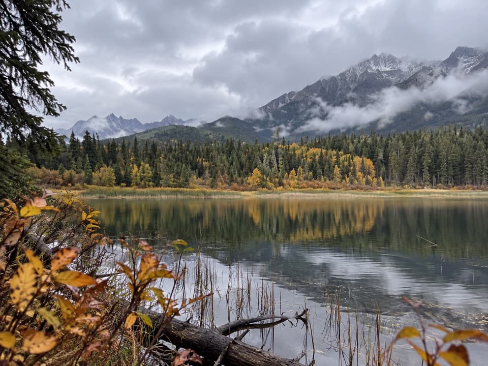
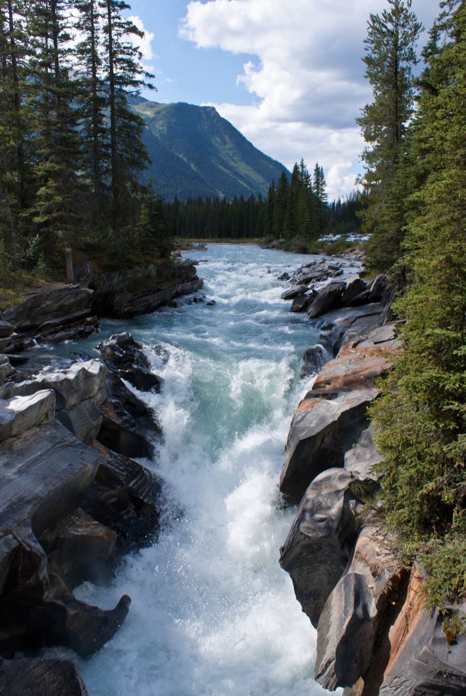
Kootenay River Day-use Area is a roadside picnic stop beside the Kootenay River on Highway 93 South. It’s a good place to get out, stretch, and take in the river and mountain views. I’d use it for a short break or lunch, not plan a day around it.
Bring your own picnicPicnic tables, toilets, and parking serve the stop.
Picnic tables, toilets, and parking serve the stop. There’s no food service in Kootenay National Park, so bring what you’d like to eat. Parks Canada describes the park’s day-use washrooms as dry toilets. An emergency phone here connects directly to Parks Canada dispatch 24/7, year-round.
Wildlife
Wildlife in Kootenay
 41 sightingsGrizzly BearMost seen around 8 PMSighting map
 31 sightingsGray WolfMost seen around 8 PMSighting map
 22 sightingsMooseMost seen around 6 AMSighting map
 84 sightingsMountain GoatMost seen around 7 PMSighting map
 522 sightingsBighorn SheepMost seen around 7 AMSighting map
 65 sightingsElkMost seen around 6 AMSighting map
Sighting maps show where each species has been reported across Kootenay. Wildlife moves, so no sighting is guaranteed.