Parking
Park at the Floe Lake Trailhead lot off Highway 93 South. Numa Pass starts at Floe Lake Campground, reached on foot along the separate Floe Lake Trail; plan for the backcountry approach, not just the pass extension.

#7 of 38 trails in Kootenay
Kootenay National Park, BC
A short climb to an open saddle high above Floe Lake.
Overview
Map & elevation
Plan your hike

The highest, rockiest slopes around here are a summer buffet for grizzly bears.
Kootenay Tour Guide
Parkwolf is a GPS audio tour guide for Kootenay National Park. As you drive, it chimes in with what’s ahead: hidden gems, upcoming stops, history, geology, and wildlife, right through your car’s speakers.
See the Kootenay audio tourMore stories near here in the app
“Fantastic app with many points of information… It’s great to just turn on while you’re driving and it gives you an audio tour of the national Park. We love it!!!!”


Trail guide
Numa Pass Trail is a 5.5 km (3.4 mi) out-and-back from Floe Lake Campground to the broad saddle of Numa Pass, about 2,340 m high. The saddle sits 2.8 km one way from camp; the climb gains roughly 310 m. Plan on about 2 to 2.5 hours, with extra time for the view. This is a backcountry side trip for hikers already at Floe Lake, not a short roadside walk. The payoff is an open alpine pass with a view back toward Floe Lake and the Rockwall. If your trip already includes the campground, this adds a high pass without committing to the longer Rockwall traverse.
Reach the trailhead on foot from the Floe Lake parking lot off Highway 93 South, following the separate Floe Lake Trail. The 5.5 km here begins at the campground and excludes that long backcountry approach; hiking all the way from the highway to the pass and back is a full-day outing of more than 26 km. Parks Canada requires a backcountry permit for overnight travel and advance reservations for Floe Lake Campground in the main summer season. A valid park entry pass is also required. The campground has tent pads, an outhouse and wildlife-safe food storage, but no food service.
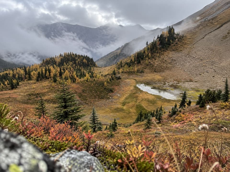
Leave camp on the marked trail. The first stretch runs through pine and larch forest for about 1.5 km; then the trees thin and a larch valley opens beneath the surrounding peaks. From there the route climbs onto an alpine ridge and traverses to the saddle between Numa Mountain and Forest Peak. The upper ground is exposed and can be rocky or muddy, with snow on the high slopes in shoulder seasons. Expect the climb in reverse on the way back. This route ends at Numa Pass; it does not include the continuation toward Numa Creek or the longer Rockwall through-route.
Numa Pass is a broad, treeless saddle rather than a sharp summit. At about 2,340 m, it is the highest point on the Rockwall Trail. Look south to Floe Lake and Floe Peak, then around the surrounding high peaks along the Rockwall. The open ridge makes the lake look far below. For a phone photo, frame Floe Lake and Floe Peak beneath you, with a little of the ridge or trail in the lower edge to show the height and the way you came.
The larch valley is often golden in late September, while mid-July can bring wildflowers; timing varies by year. Parks Canada recommends the Rockwall from mid-July to early October and notes that higher passes may stay snowbound until early to mid-July. Autumn snowfall can make the high sections difficult in late September or October. Check the trail report before heading in, and keep to the marked path when snow obscures the tread.
Treat any surface water before drinking. Dogs are allowed on this route but must stay leashed, and hikers should remain on designated trails and viewpoints. The campground is the only food and toilet stop at the start; there is no service along the pass itself.
Wildlife
 41 sightingsGrizzly BearMost seen around 8 PMSighting map
 31 sightingsGray WolfMost seen around 8 PMSighting map
 22 sightingsMooseMost seen around 6 AMSighting map
 84 sightingsMountain GoatMost seen around 7 PMSighting map
 522 sightingsBighorn SheepMost seen around 7 AMSighting map
 65 sightingsElkMost seen around 6 AMSighting map
Sighting maps show where each species has been reported across Kootenay. Wildlife moves, so no sighting is guaranteed.
Keep exploring
 ChallengingBall Pass17.8 km · 7 hr · 6.4 km awayA hard climb to a high pass, glacier views and a meadow
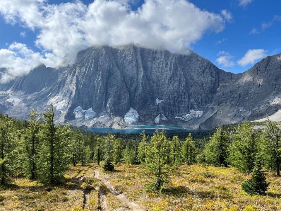 ChallengingFloe Lake21.6 km · 8 hr · 6.5 km awayA long climb pays off at a turquoise lake under the Rockwall.
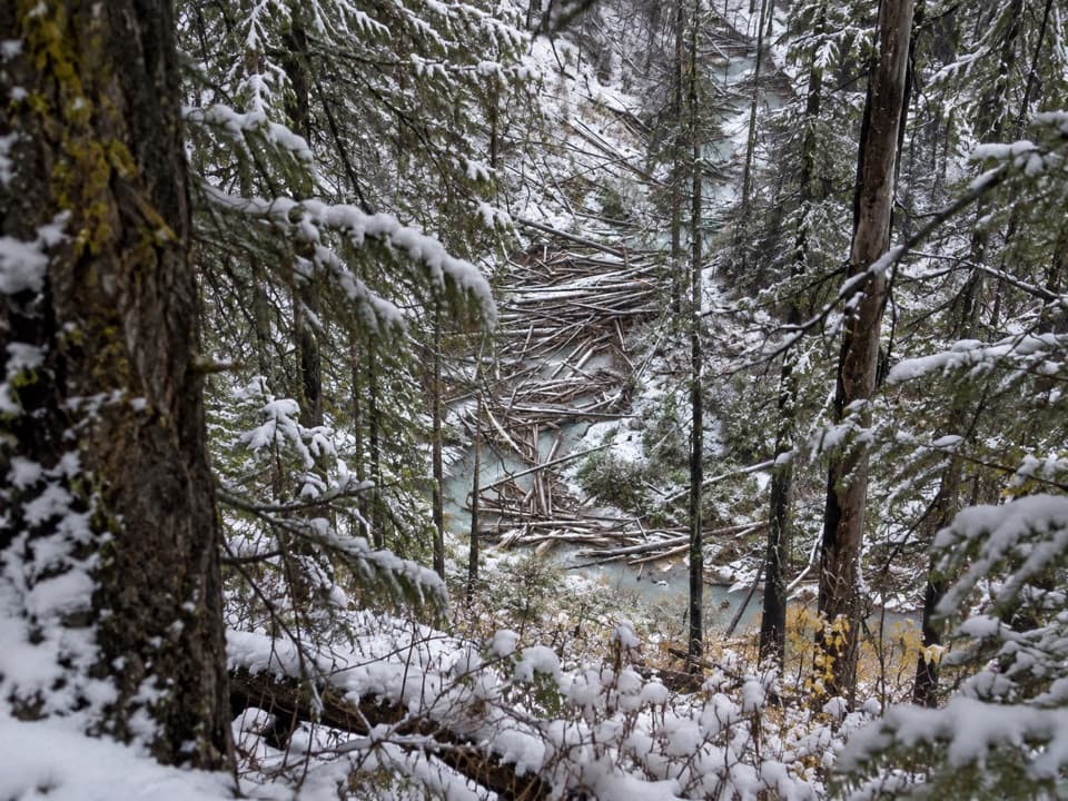 ModerateNuma Creek Trail12.8 km · 4 hr · 8.8 km awayA shaded creekside approach to the Rockwall's Numa Creek camp.
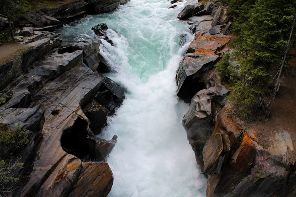 EasyNuma Falls Trail0.5 km · 20 min · 8.8 km awayA quick stop where the Vermilion squeezes through sculpted limestone.ChallengingRockwall Trail54.1 km · 4 days · 12.8 km awayThree passes, the Rockwall, and Floe Lake anchor an alpine traverse.
 ChallengingTumbling - Helmet - Ochre Loop36.9 km · 2.5 days · 12.8 km awayTwo or three days among alpine meadows, Helmet Falls and the Rockwall.
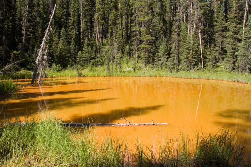 EasyPaint Pots Trail2 km · 45 min · 12.9 km awayCross the Vermilion River to three iron-rich springs.
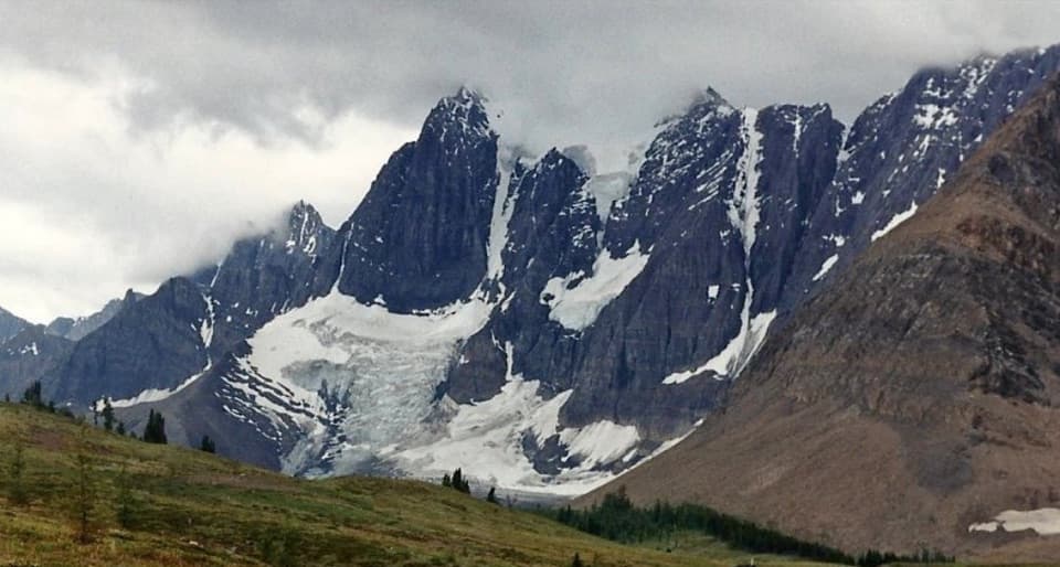 ChallengingTumbling-Floe Traverse37.7 km · 2.5 days · 12.9 km awayA two-to-three-day traverse from Paint Pots to Floe Lake.Sight · At the trailheadFloe LakeA full-day climb to a turquoise lake under the Rockwall.
 Campground · At the trailheadFloe Lake CampgroundA lakeside backcountry camp at the southern end of the Rockwall.
 Campground · 7 km awayNuma Creek CampgroundA backcountry campground on the 54.1-km Rockwall Trail.
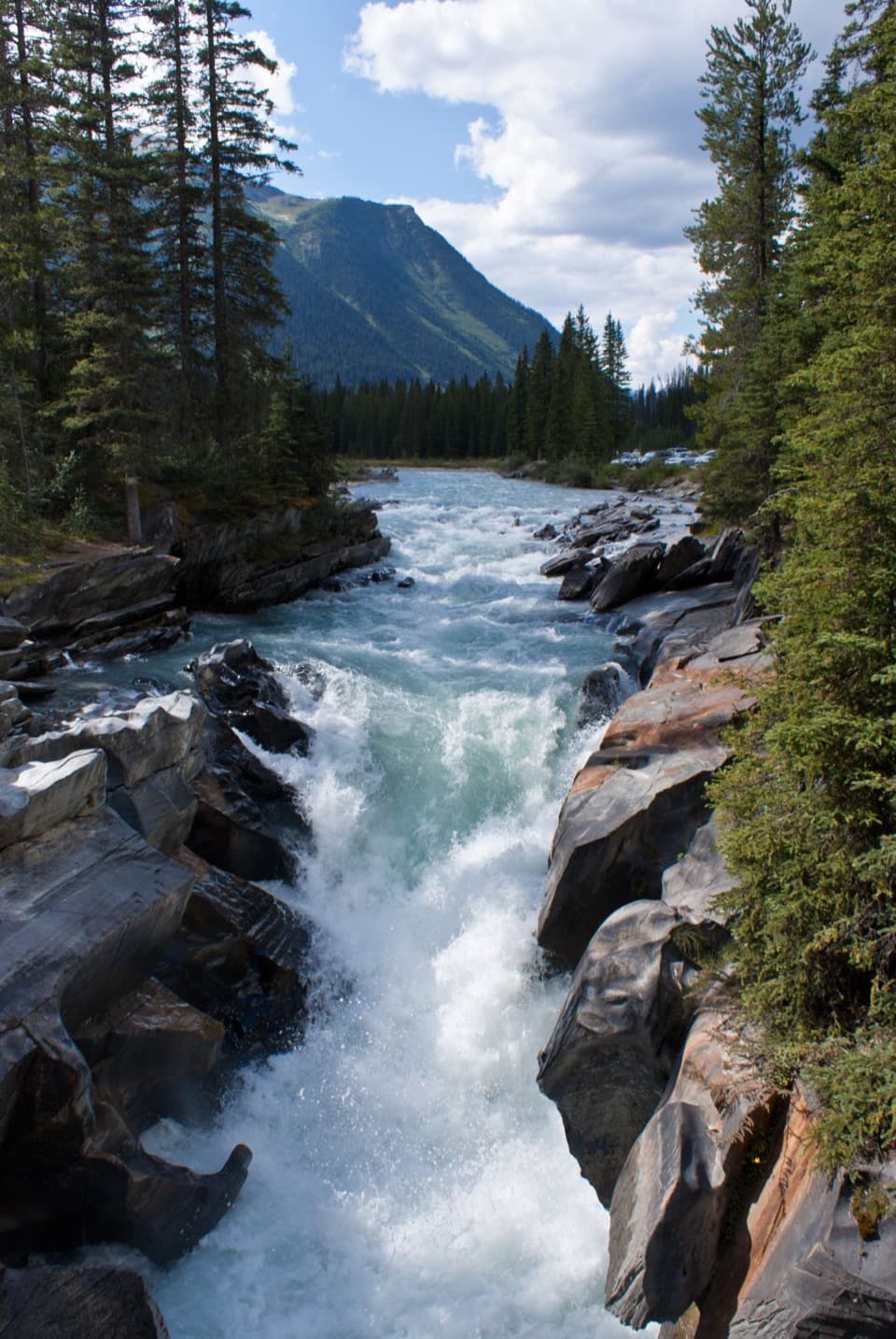 Sight · 8.7 km awayNuma FallsA short bridge walk reveals the Vermilion's sculpted canyon.
 Picnic area · 11.1 km awayVermilion Crossing Day-use AreaA picnic break beside the Vermilion River
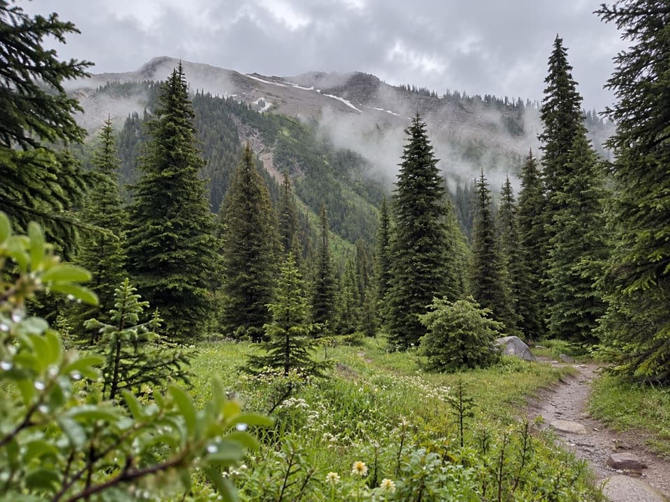 Campground · 11.8 km awayTumbling Creek CampgroundA useful northern camp for a full Rockwall backpacking traverse.
 Sight · 13 km awayPaint PotsThree iron-rich springs stain the ground a vivid ochre.
 Campground · 14.5 km awayMarble Canyon CampgroundA basic campground in a spruce forest with no cell signal.
Parkwolf’s Kootenay ranking

The audio tour guide for the drive, plus offline maps, trails, and wildlife heatmaps for when the signal drops.