Parking
Start at Floe Lake parking lot on Highway 93 South, about 72 km east of Radium Hot Springs. The trail begins at the lot.
#2 of 38 trails in Kootenay
Kootenay National Park, BC
A long climb pays off at a turquoise lake under the Rockwall.
Overview
Map & elevation
Plan your hike

The highest, rockiest slopes around here are a summer buffet for grizzly bears.
Kootenay Tour Guide
Parkwolf is a GPS audio tour guide for Kootenay National Park. As you drive, it chimes in with what’s ahead: hidden gems, upcoming stops, history, geology, and wildlife, right through your car’s speakers.
See the Kootenay audio tourRecorded for this trailhead
Floe Lake Trailhead: A Full Mountain Day“You're coming up on the Floe Lake trailhead, the start of a hard, full-day hike to turquoise water beneath the Rockwall's limestone cliffs.”
Plays as you drive up to this trailhead in the Parkwolf Kootenay Tour Guide.
More stories near here in the app
“Fantastic app with many points of information… It’s great to just turn on while you’re driving and it gives you an audio tour of the national Park. We love it!!!!”


Trail guide
Floe Lake is a 21.6 km (13.4 mi) out-and-back from Floe Lake parking lot to a high alpine lake beneath the Rockwall. Parks Canada lists 10.8 km one way, 1,120 m of climbing and 295 m of descent on the way in, with a seven-hour return estimate. Independent route accounts put the gain closer to 700–800 m, so the published ascent figures don’t agree; either way, expect a hard day. That’s a full day on your feet. I’d allow about eight hours with a proper stop at the lake. The route starts with a long approach through forest, opens across a broad burn, then finishes with a steep climb beside a cascade. You earn the view the hard way.
The most useful pacing decision is to keep something in reserve for the final two kilometres. They climb roughly 400 m in a set of steep switchbacks up the headwall. The lake sits just beyond the top, so it can feel close while still taking a while to reach. Don’t treat the earlier, gentler miles as a sign that the hard part is over. There’s no reliable cell service in this part of the park, so save your map before leaving the highway.
The trail leaves the parking lot on Highway 93 South and drops toward a bridge over the Vermilion River. After that it’s a mostly wooded approach with stretches of easier walking before another bridge over Floe Creek, about 1.7 km in. The route bends into Floe Valley from here. It’s a long walk before the big mountain views open up, which is the main tradeoff of this hike: the destination is spectacular, but you have to put in the distance to get there.
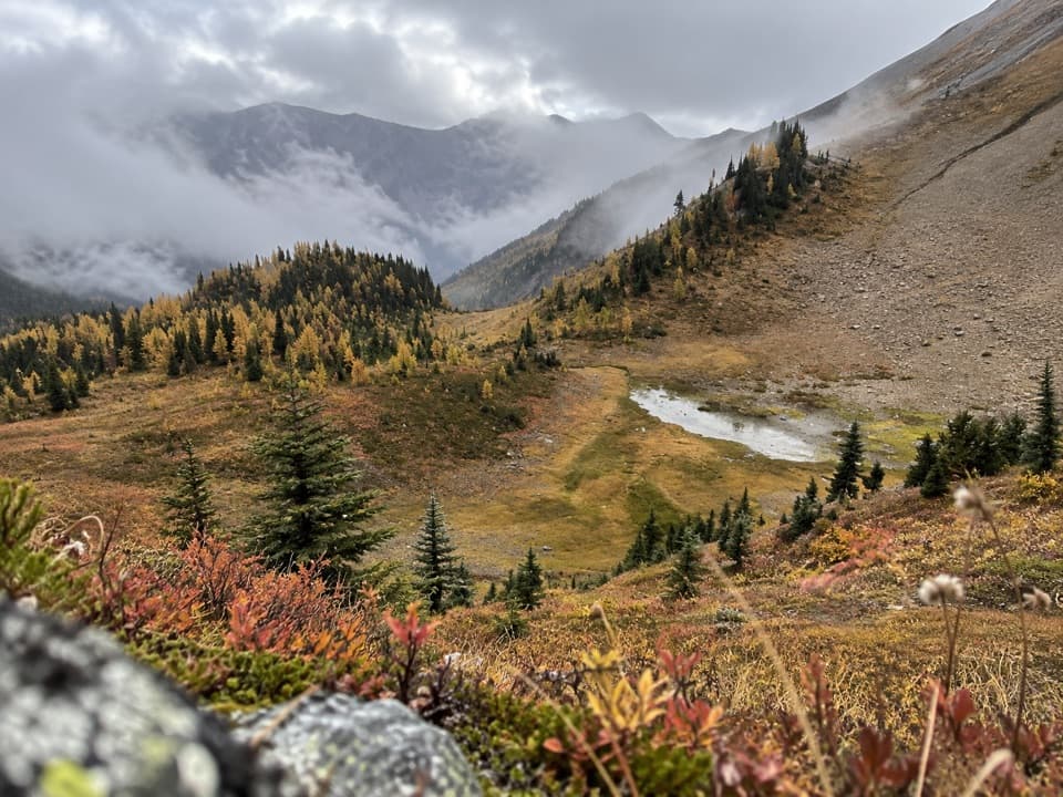
A 2003 wildfire burned much of this valley. The standing trunks and newer growth make the change easy to see, and the open slopes give you views across toward the Ball Range and the Rockwall. In summer, fireweed and other wildflowers brighten the burn. This is a good stretch to slow down and look around; it’s the first part of the walk where the landscape feels wide open instead of enclosed by trees.
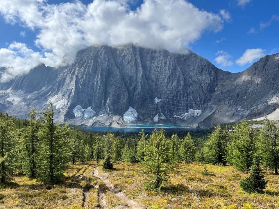
Near the end, the trail turns sharply uphill beside a cascade and climbs the headwall in switchbacks. The footing is steep, and the sunny slope offers little shade. At the top, Floe Lake appears below a huge limestone wall, with blue-green water against pale rock and snowfields. The lake is the turnaround for this hike and the southern access to the much longer Rockwall route; the Rockwall traverse and the optional continuation toward Numa Pass are separate outings, not part of this 21.6 km return. At the shore, include some water and the treeline below the cliff in your photo so the frame shows the wall’s scale.
Wildlife
 41 sightingsGrizzly BearMost seen around 8 PMSighting map
 31 sightingsGray WolfMost seen around 8 PMSighting map
 22 sightingsMooseMost seen around 6 AMSighting map
 84 sightingsMountain GoatMost seen around 7 PMSighting map
 522 sightingsBighorn SheepMost seen around 7 AMSighting map
 65 sightingsElkMost seen around 6 AMSighting map
Sighting maps show where each species has been reported across Kootenay. Wildlife moves, so no sighting is guaranteed.
Keep exploring
 ChallengingBall Pass17.8 km · 7 hr · At the trailheadA hard climb to a high pass, glacier views and a meadow
 ModerateNuma Pass Trail5.5 km · 2.5 hr · 6.5 km awayA short climb to an open saddle high above Floe Lake.
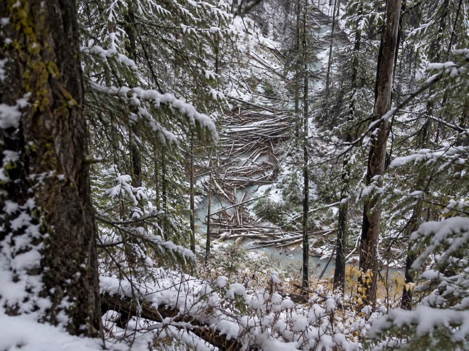 ModerateNuma Creek Trail12.8 km · 4 hr · 7.9 km awayA shaded creekside approach to the Rockwall's Numa Creek camp.
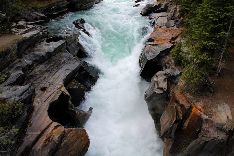 EasyNuma Falls Trail0.5 km · 20 min · 8 km awayA quick stop where the Vermilion squeezes through sculpted limestone.ChallengingRockwall Trail54.1 km · 4 days · 11.7 km awayThree passes, the Rockwall, and Floe Lake anchor an alpine traverse.
 ChallengingTumbling - Helmet - Ochre Loop36.9 km · 2.5 days · 11.7 km awayTwo or three days among alpine meadows, Helmet Falls and the Rockwall.
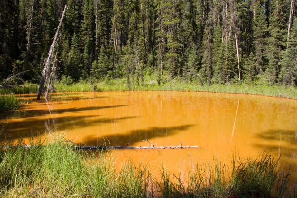 EasyPaint Pots Trail2 km · 45 min · 11.8 km awayCross the Vermilion River to three iron-rich springs.
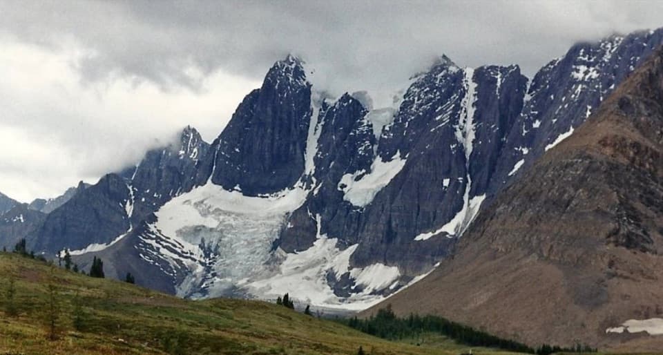 ChallengingTumbling-Floe Traverse37.7 km · 2.5 days · 11.8 km awayA two-to-three-day traverse from Paint Pots to Floe Lake.Sight · 6.4 km awayFloe LakeA full-day climb to a turquoise lake under the Rockwall.
 Campground · 6.4 km awayFloe Lake CampgroundA lakeside backcountry camp at the southern end of the Rockwall.
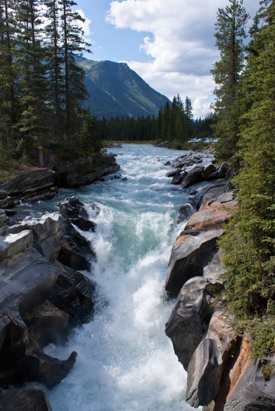 Sight · 7.8 km awayNuma FallsA short bridge walk reveals the Vermilion's sculpted canyon.
 Picnic area · 7.9 km awayVermilion Crossing Day-use AreaA picnic break beside the Vermilion River
 Campground · 9.6 km awayNuma Creek CampgroundA backcountry campground on the 54.1-km Rockwall Trail.
 Sight · 11.4 km awayStanley GlacierWaterfalls and a turquoise crossing lead to a glacier basin.
 Sight · 12.3 km awayPaint PotsThree iron-rich springs stain the ground a vivid ochre.
 Campground · 12.3 km awayMarble Canyon CampgroundA basic campground in a spruce forest with no cell signal.
Parkwolf’s Kootenay ranking

The audio tour guide for the drive, plus offline maps, trails, and wildlife heatmaps for when the signal drops.