
Place · 1.5 mi away
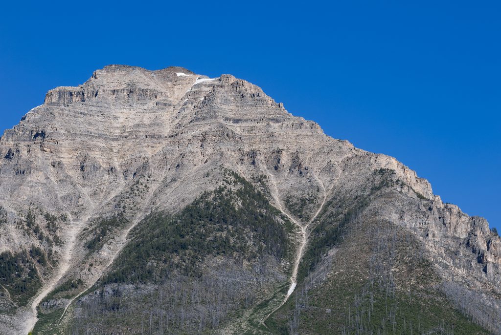
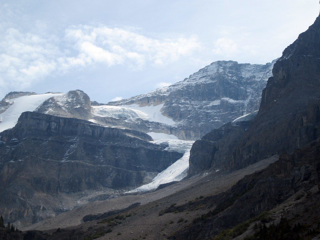
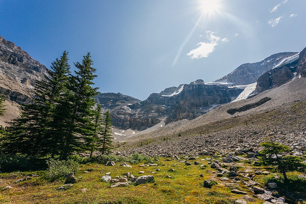
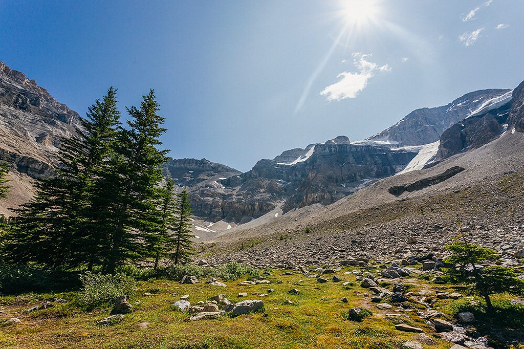
Mount Whymper rises immediately north of Vermilion Pass and offers a serious, hands‑on scramble with outsized views for the effort. Expect true Class 3 moves if you drift off the best line, plus steep, loose rubble typical of the Rockies. From the top, the panorama sweeps across Storm, Ball, Stanley, Quadra, and Bident.
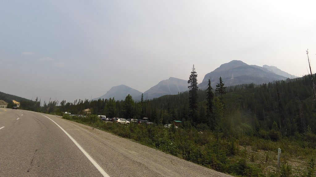
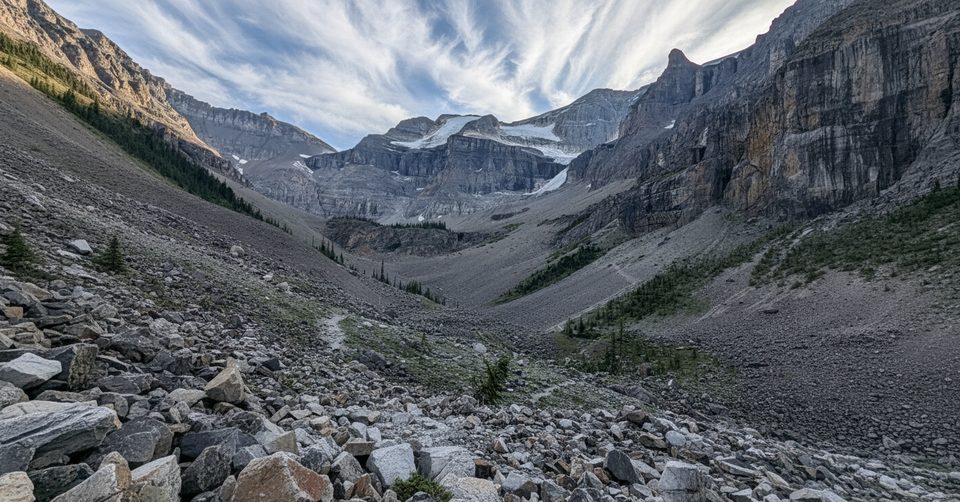
Access is from the Highway 93S corridor. Parties commonly begin near Vermilion Pass, with approaches described from the Stanley Glacier trailhead and from the Vista Lake area. Lines vary, but a popular ascent uses a large avalanche gully on the southeast side to reach the southeast ridge and then the summit. The terrain is relentlessly steep with sections of burned forest, blowdown, and broken rock; staying on the most stable ribs and delaying any traverse out of the main gully helps keep difficulties reasonable.
This is an out‑and‑back scramble with strong route‑finding required. Expect roughly 6.3–7 km round trip and about 1,200–1,250 m of elevation gain. Some fast parties report about 4 hours, but many should plan for a longer day given the steepness, loose footing, and navigation.
The mountain’s gullies and cliff bands concentrate rockfall; helmets are a smart call. Descents often reverse the ascent, though some use a south‑slope scree run—only commit if you’re certain you’re in the correct drainage. In late fall and winter, treat this as a mountaineering objective with snow/ice, avalanche concerns on lee slopes, and short daylight.
Best window is typically mid/late summer into early fall when slopes are snow‑free. On November outings, expect winter conditions and plan conservatively with traction and avalanche gear/training.
The first ascent was made in 1901 by Edward Whymper and his guides. Lower slopes pass through extensive burn scars now regenerating; above treeline you’re on layered sedimentary terrain shaped by glaciation—scenic but notoriously loose.
This is prime bear country. Travel in a group, make noise in forested sections, carry bear spray, and respect any seasonal or temporary closures.
Services inside the park are limited: no fuel, food service, or public transit. Day‑use areas along Highway 93S provide parking and usually have outhouse‑style toilets (generally seasonal, May to mid‑October; some may remain open but can be snowed in). There is no cell or Wi‑Fi service; roadside emergency phones operate year‑round at a few key locations along the corridor.
Aim for mid/late summer to early fall. In high season, limited parking means arriving early helps. With shoulder‑season snow or ice, start early to maximize daylight and set firm turnaround times.
Place · 1.5 mi away
Place · 1.5 mi away
Place · 1.5 mi away
Place · 1.5 mi away
Moderate · 1.5 mi away
Easy · 2.9 mi away
Easy · 2.9 mi away
Easy · 2.9 mi away

Parkwolf Tour Guide
