Stanley Glacier

Waterfalls, wildflowers, and Burgess Shale on a glacier‑framed hike
Stanley Glacier, Kootenay National Park
InsideKootenay National Park

Overview

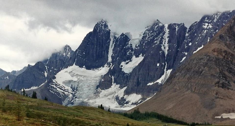
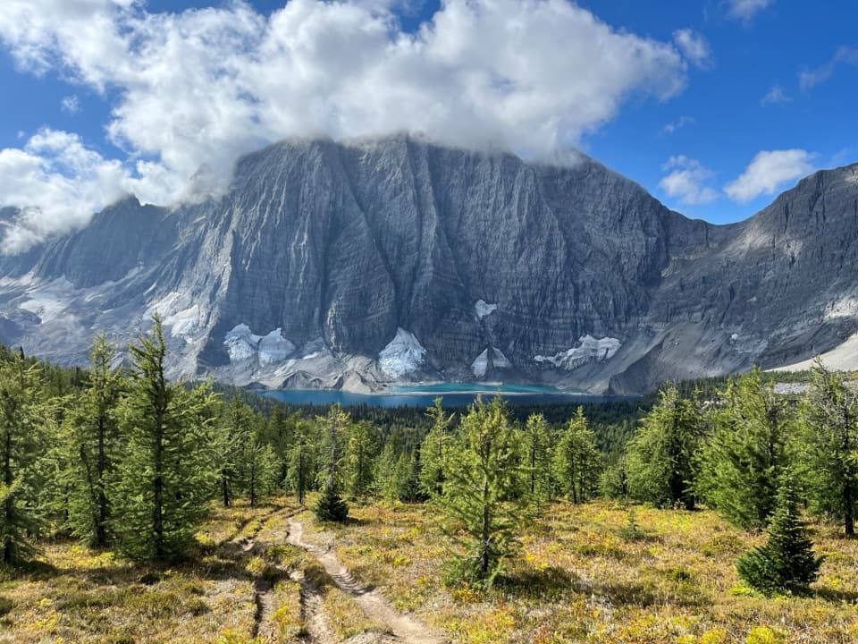
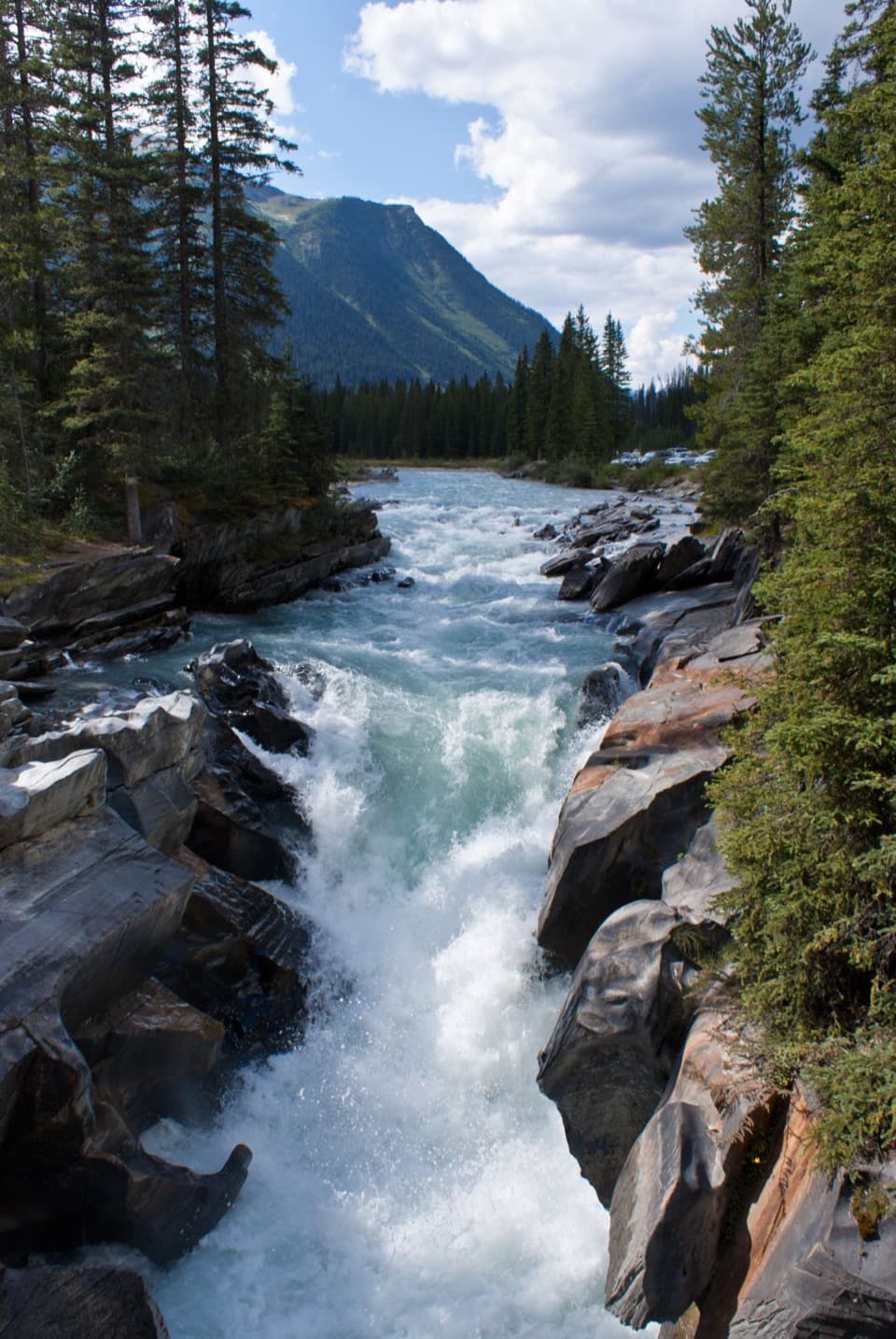
Stanley Glacier is the crowd‑pleasing alpine basin you can earn without an all‑day sufferfest. The trail climbs steady switchbacks through a forest recovering from a 2003 wildfire, then breaks into a wide cirque packed with waterfalls, wildflowers, and head‑on views of the hanging glacier.

Route Snapshot

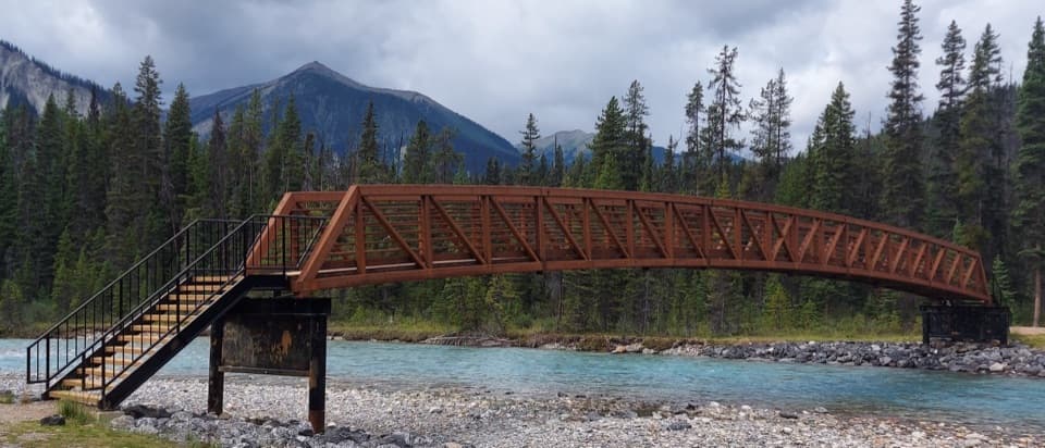
From the signed parking lot on Highway 93S, cross the bridge and head up gentle, well‑maintained switchbacks. The first ~4 km are smooth sailing. Beyond the end of the maintained path, a rougher loop over talus and moraine leads to bigger viewpoints. Confident hikers sometimes continue toward the glacier toe on loose, cairned slopes—expect steep scree and keep well back from cliffs and ice.

  • Distance and gain: plan roughly 8.8–10 km round‑trip and ~365–385 m gain to the basin; extending on the rough loop/scramble can push it to ~12.5–13 km and ~600 m total.

Highlights & Geology

This basin is part of the Burgess Shale story: 500‑million‑year‑old Cambrian fossils have been found here, and guided programs explain the layers beneath your boots. It’s illegal to collect any fossils or natural objects—photos only.

Wildlife

Keep an eye on the rocks for pika, ground squirrels, and marmots. Give all wildlife space and secure your snacks; there’s no cell service, so self‑reliance matters.

Logistics & Amenities

There’s a small parking lot directly off Highway 93S, with vault toilets, a notice board, and trash cans. No potable water—bring your own. Parking often fills on summer weekends; shoulder parking isn’t recommended.

Safety Notes

Expect loose talus, occasional rockfall near the cliffs and glacier, and quick weather shifts. Burned snags can be unstable in wind. Trekking poles help on the upper loop; sturdy boots are a must. If you hit rough, loose terrain, the basin viewpoints are already the payoff—no need to push farther.

Best Time to Visit

June through September offers the most reliable trail conditions. Start early for cooler temps and parking, especially on weekends. Morning tends to be quieter; afternoon weather can build.

Guided Hikes

Parks Canada runs interpretive Burgess Shale hikes here June–September. They typically meet at 7:30 am (MDT) and run most of the day with lots of stops. Reservations are required, a valid park pass is needed, pets aren’t allowed, and there are age restrictions (children 5 and under not permitted; under 8 not recommended). Bring layers, lunch, and at least 2 liters of water per person.

Pros

  • Big glacier views, waterfalls and wildflowers in a dramatic burn-scar valley
  • Burgess Shale fossils context with optional Parks Canada guided hikes
  • Well‑graded first half; rougher talus only if you choose to continue

Cons

  • Small trailhead lot that fills early in summer
  • Upper basin and glacier approach involve loose rock and rockfall hazards

Tips

  • Arrive early; the lot is small and fills quickly on summer weekends.
  • Bring at least 2 liters of water per person—there are no taps.
  • Trekking poles make the talus loop and any scree much easier.
  • Set a turn‑around time before leaving the maintained trail.
  • For guided hikes, meet at 7:30 am MDT at the trailhead and book ahead.
The Parkwolf tour guide sitting on a phone mounted in a car

Parkwolf Tour Guide

Like a tour guide in your car.

Save the places you found around Kootenay, then let Parkwolf guide the drive between them.Download Parkwolf on the App Store