
Place · 0 mi away
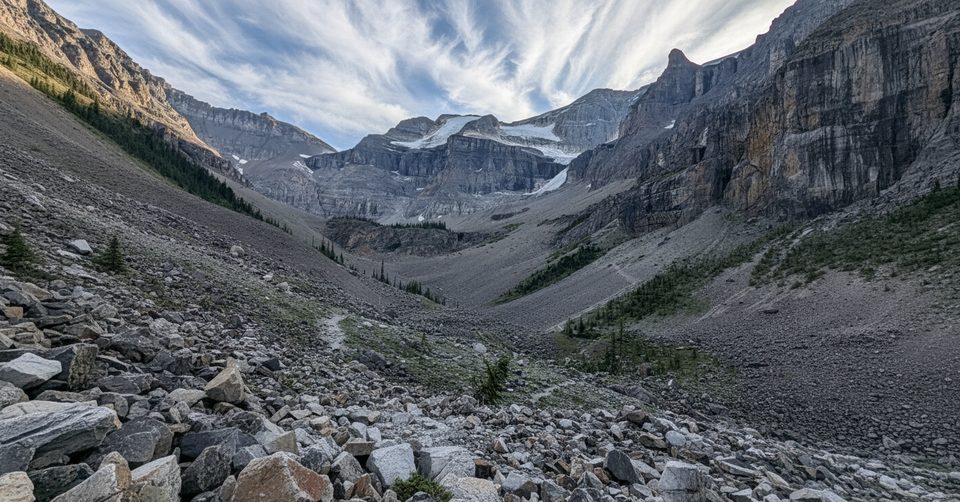
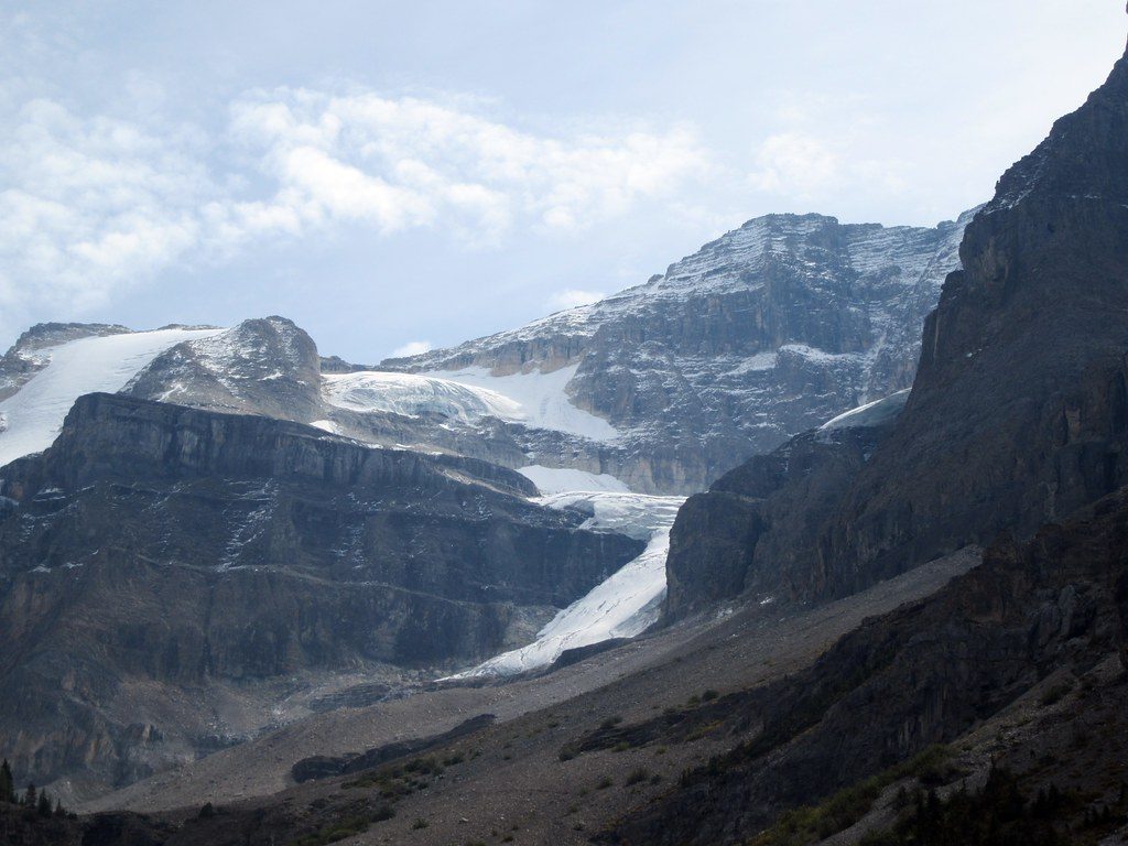
This is the jump-off point for one of the park’s most beloved day hikes—an approachable route to big scenery: cliffs, waterfalls, wildflowers, and a close look at Stanley Glacier. Expect a steady, moderate climb on a well-built path for the first few kilometers, with rougher, rockier options beyond the maintained end if you want to push farther into the basin.
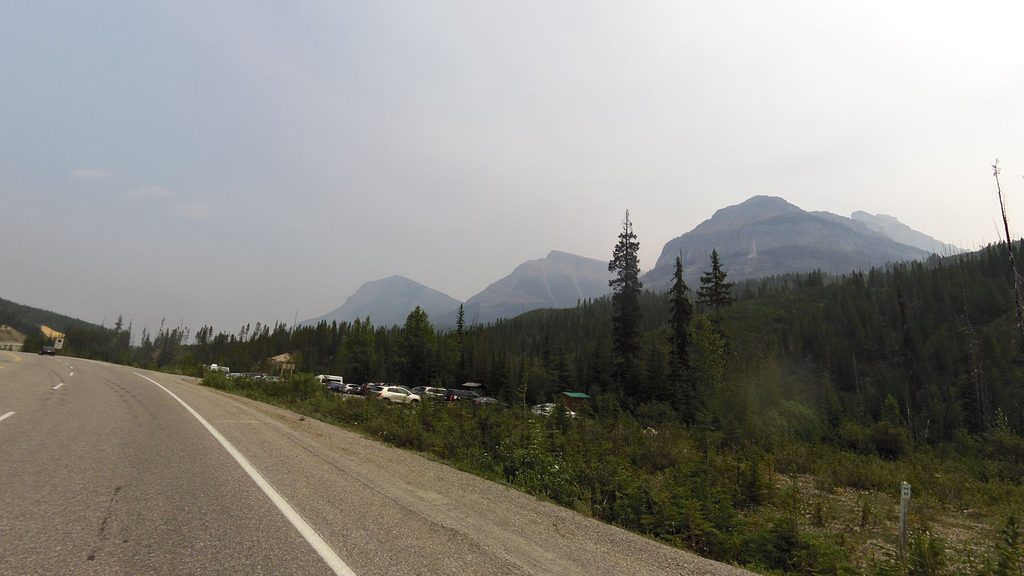
The lot is paved, signed, and just off Highway 93. Capacity is limited (roughly a couple dozen stalls), so it’s popular and fills fast in summer. You’ll find pit toilets and trash bins, but no running water and usually little to no cell service.
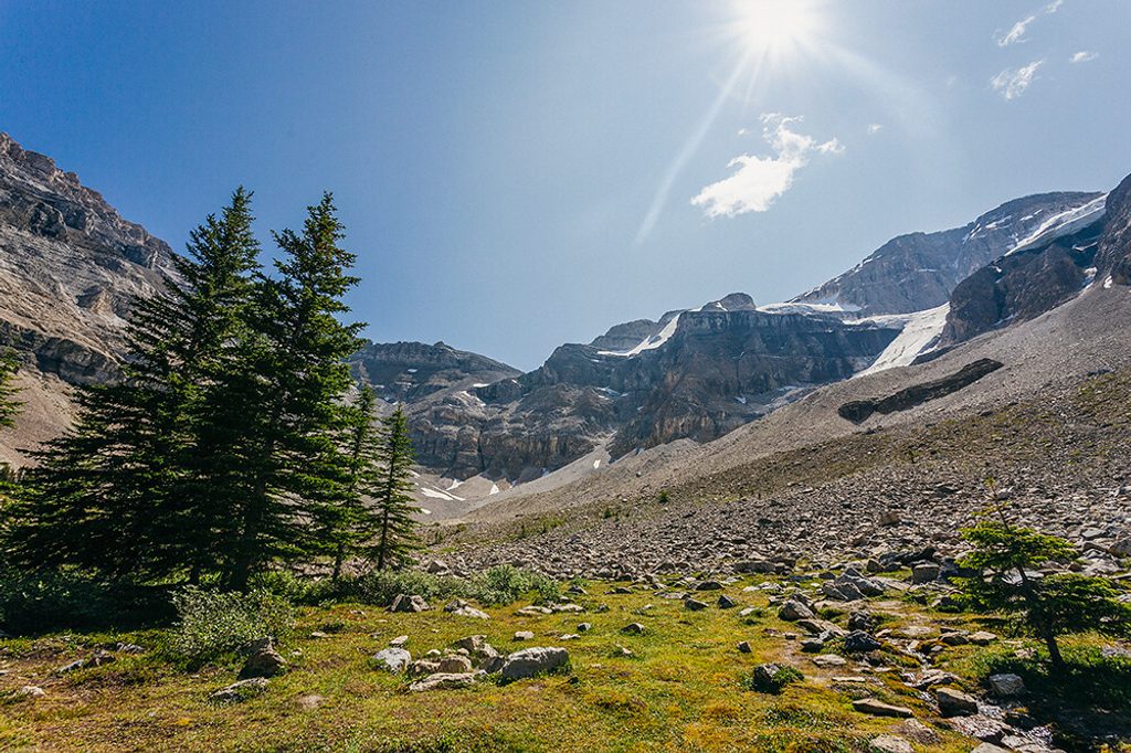
From the bridge over the Vermilion River, the trail switchbacks through burn regrowth with big views and little shade. Around 4 km in, the trees give way to the basin below the glacier—cascading waterfalls, towering limestone walls, and a dramatic cirque. The maintained path ends here. Confident hikers can extend on rough, unmaintained social tracks with loose scree and some exposure to get higher viewpoints; sturdy footwear and poles pay off.
This valley exposes Burgess Shale layers with 500‑million‑year‑old fossils. Photograph, don’t pocket—collecting any natural object is illegal. If you’re curious, Parks Canada runs seasonal guided fossil hikes that start here and require advance reservations.
June through September offers the most reliable footing and flowing waterfalls. Start early—ideally before 10 am (earlier on weekends)—to beat both heat and parking pressure. Shoulder and winter seasons bring snow and ice; traction and extra layers are smart if you’re attempting the lower trail then. Midday light is harsh in the burn area; morning or late afternoon gives nicer contrast for photos.
You’re in prime bear country. Travel in a group when you can, make noise, and carry bear spray. Mountain weather turns quickly; pack rain layers, sun protection, and extra food and water.
Place · 0 mi away
Place · 0 mi away
Place · 0 mi away
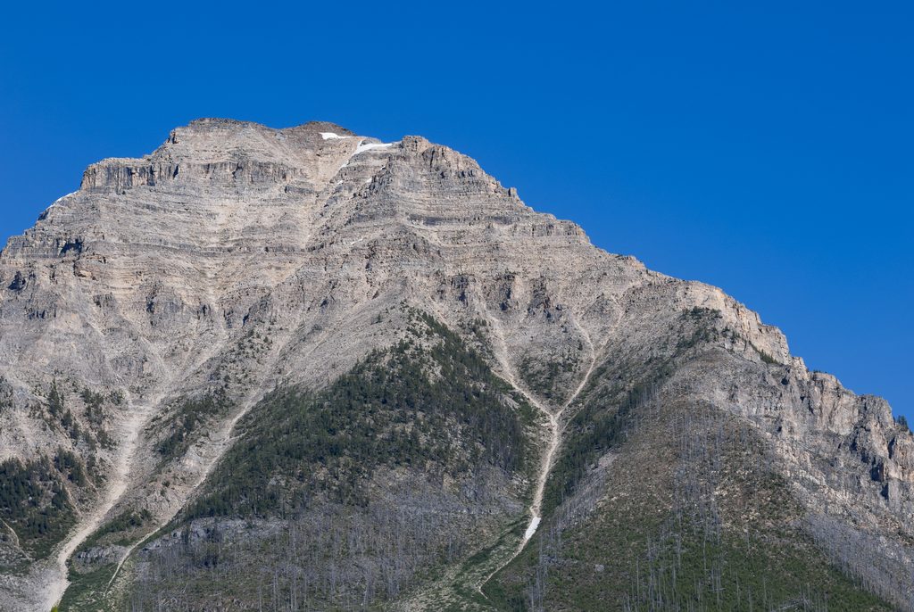
Place · 1.5 mi away
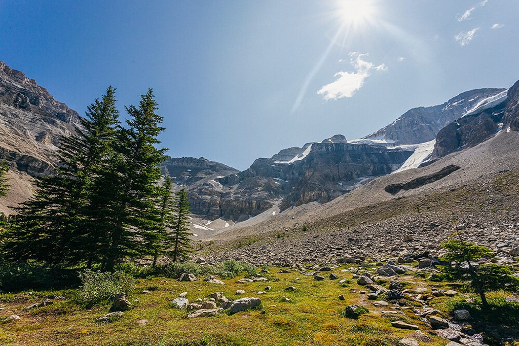
Moderate · 0 mi away
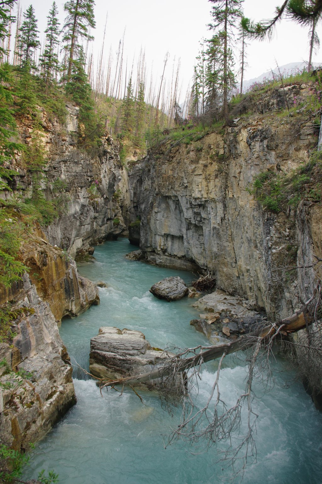
Easy · 2.3 mi away
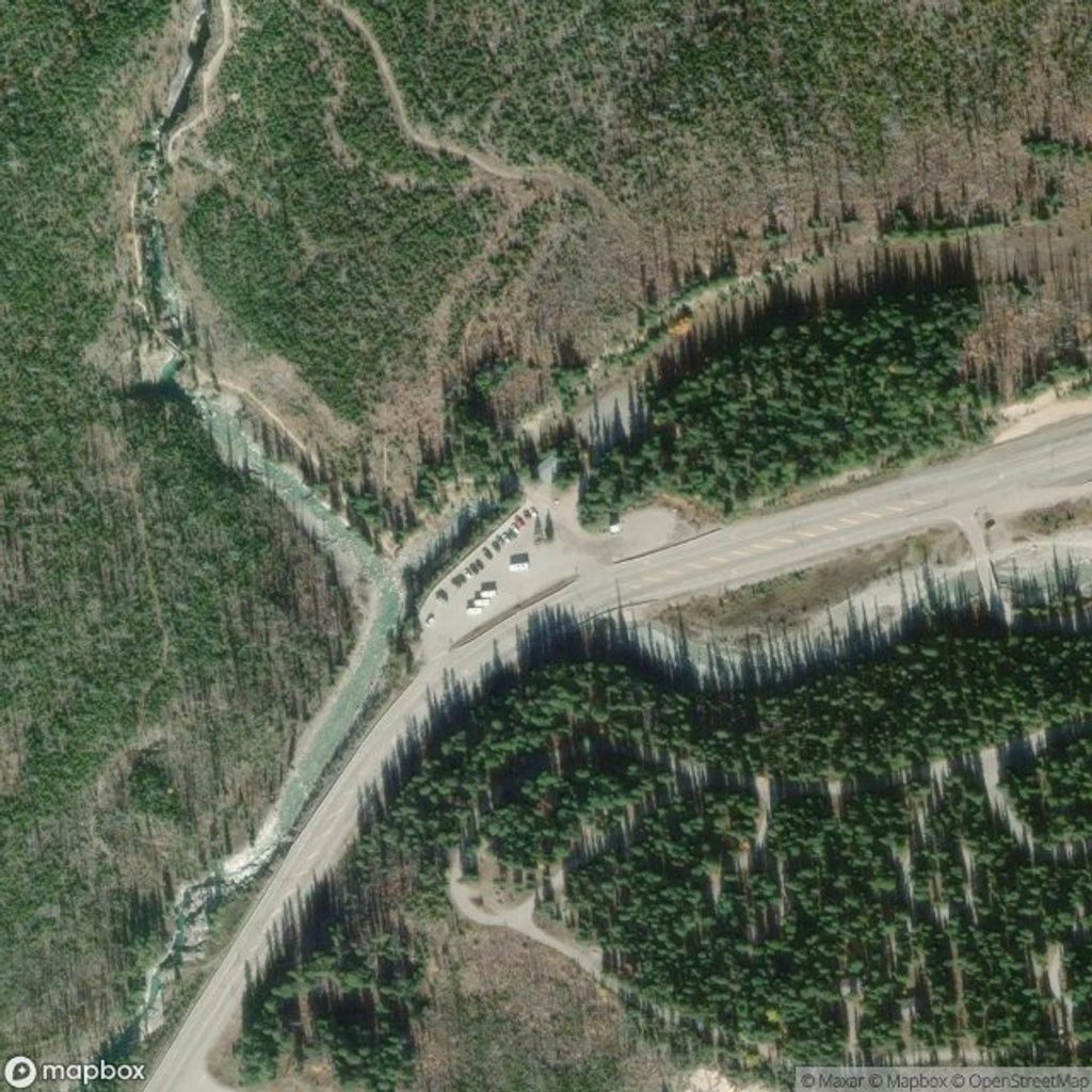
Easy · 2.3 mi away
Easy · 2.3 mi away

Parkwolf Tour Guide
