
Place · 0 mi away
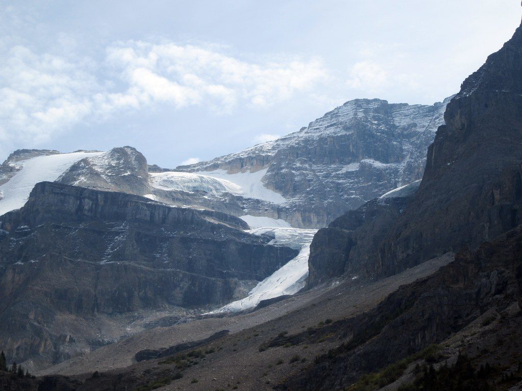
Think of “Stanley Glacier Falls” as a series of glacier‑fed cascades in a dramatic cirque, not a single, signed waterfall. You’ll see them as you hike the Stanley Glacier Trail—water threading down towering cliffs with the glacier hovering above. It’s one of the park’s most rewarding moderate outings if you like big scenery with minimal route‑finding.
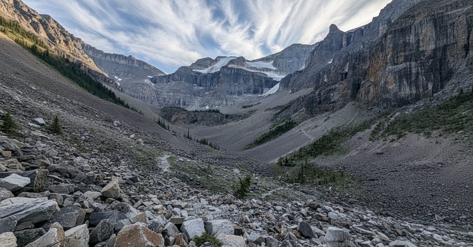
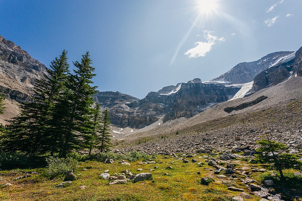
Start at the Stanley Glacier Trailhead off Highway 93S. Cross the Vermilion River and climb steady switchbacks through post‑fire forest with wildflowers in season. Around 2 km in, you’ll cross Stanley Creek and enter the cirque where waterfalls begin to steal the show. The maintained trail ends near 4 km at a rocky viewpoint—a natural lunch stop with sweeping views of the cliffs, falls, and glacier. Beyond here, informal paths drop into the basin and across boulders toward the falls; a rough upper loop exists but is steep with loose rock and scree.
The setting is classic Rockies drama: sheer headwalls, a glacier in the background, and multiple ribbons of water cascading into the basin. The 2003 burn opened up constant views, and summer brings bursts of wildflowers. Keep an eye out for fossil impressions on bedrock (this is Burgess Shale country)—admire them, photograph them, and leave them where they are.
Early season snowmelt can make creek crossings wet (wading may be needed), while late summer flow can drop significantly. Past the signed end of the trail, footing turns to talus and scree; poles help, and many hikers sensibly turn around at the maintained viewpoint.
Hikers occasionally report wildlife sightings around the basin—another reason to carry the essentials, give animals space, and keep dogs leashed.
June to September is prime. For the rough upper loop, late July to early September has the most reliable footing. In summer, arrive early—by 10–11 a.m. the small lot often fills, especially on weekends. Shoulder seasons can bring snow or ice; microspikes are wise then.
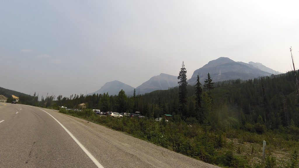
There’s a dedicated parking lot at the trailhead and basic toilets noted in some reports. No shuttle service. Bring plenty of water, sun protection (the burn means limited shade), solid footwear, and the 10 essentials.
Place · 0 mi away
Place · 0 mi away
Place · 0 mi away
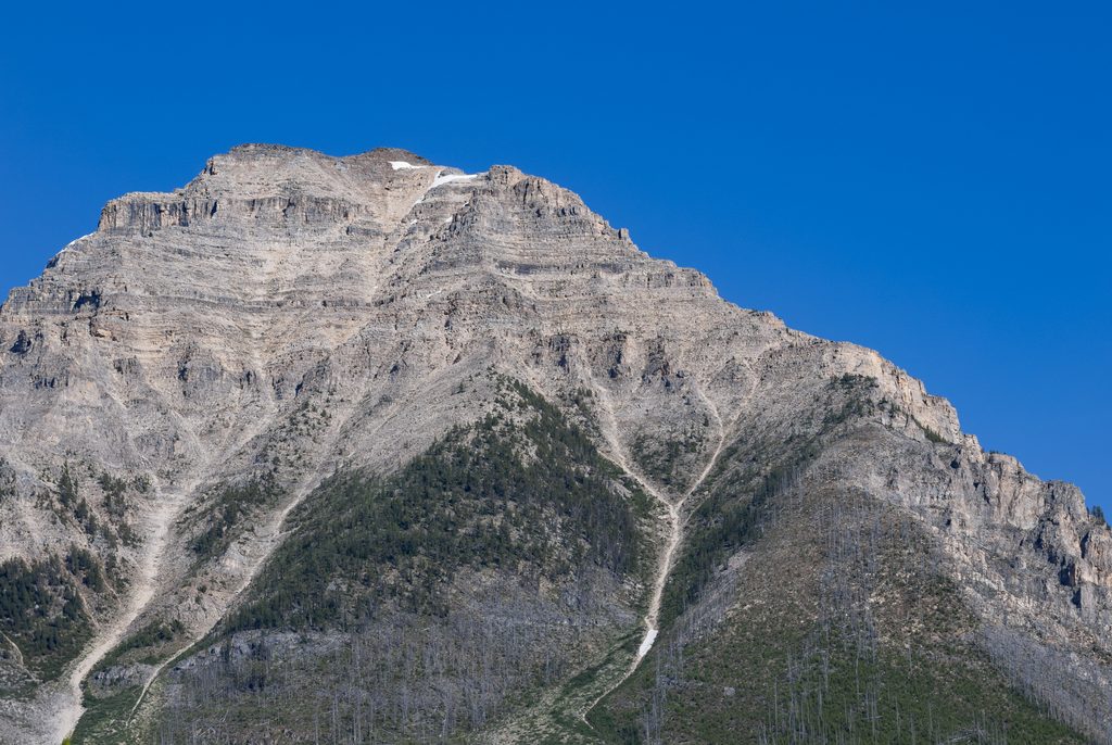
Place · 1.5 mi away
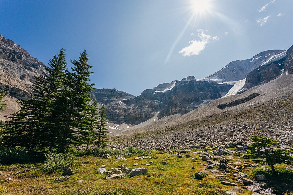
Moderate · 0 mi away
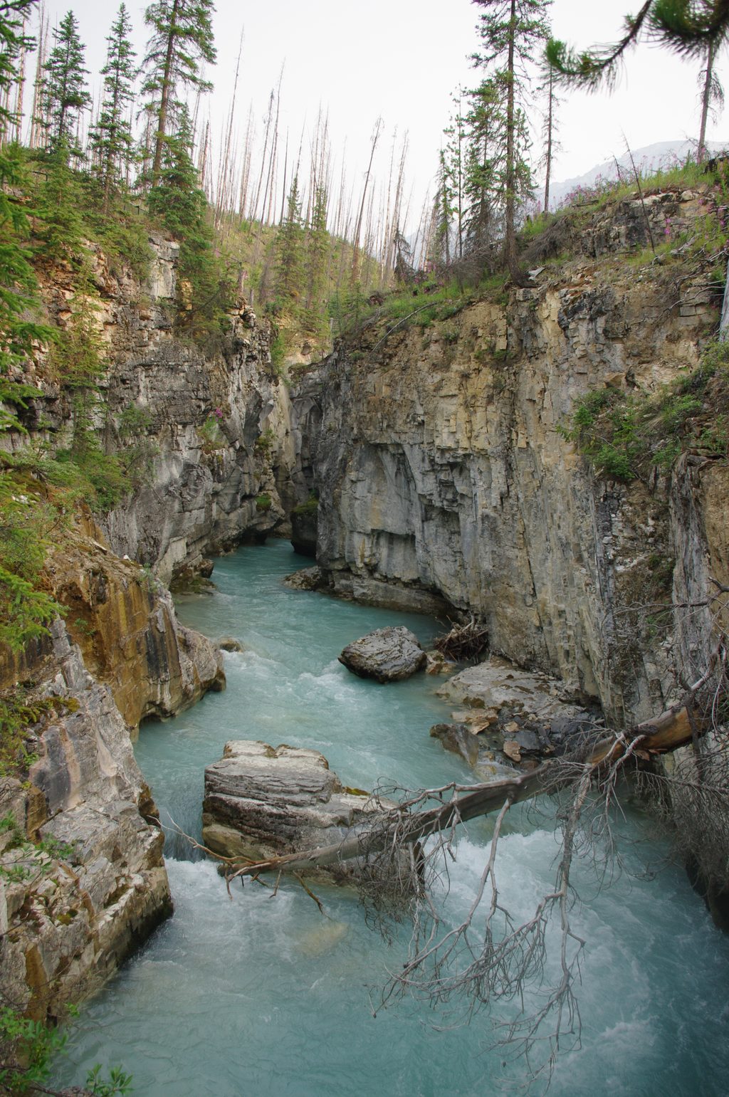
Easy · 2.3 mi away
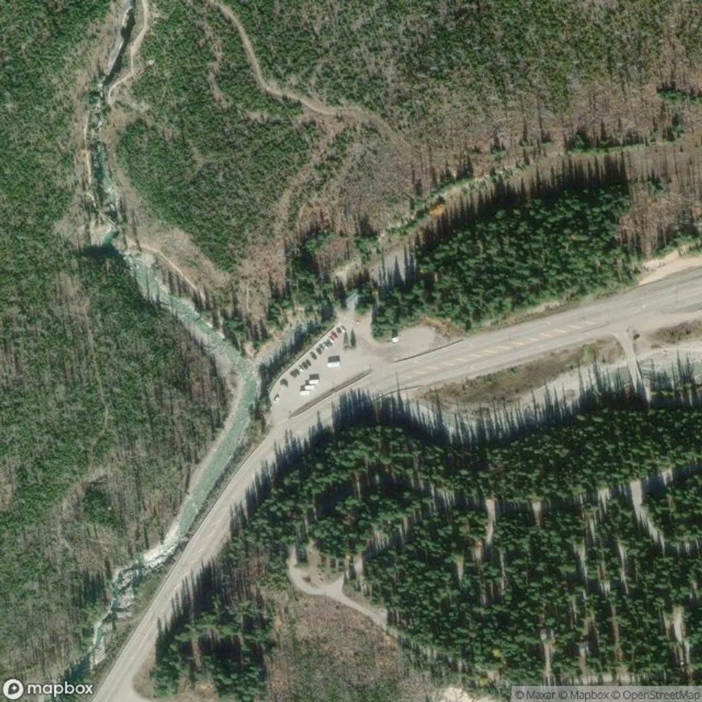
Easy · 2.3 mi away
Easy · 2.3 mi away

Parkwolf Tour Guide
