Parking
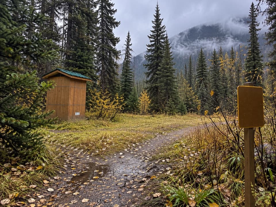
Use Stanley Glacier parking lot on Highway 93 South, about 91 km east of Radium Hot Springs. The lot can fill on summer weekends; a long-drop toilet is at the trailhead.

#3 of 38 trails in Kootenay
Kootenay National Park, BC
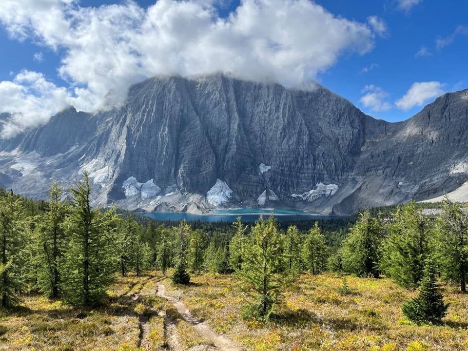
A steady forest climb to waterfalls below the glacier-carved Guard Wall.
Overview
Map & elevation
Plan your hike

The highest, rockiest slopes around here are a summer buffet for grizzly bears.
Kootenay Tour Guide
Parkwolf is a GPS audio tour guide for Kootenay National Park. As you drive, it chimes in with what’s ahead: hidden gems, upcoming stops, history, geology, and wildlife, right through your car’s speakers.
See the Kootenay audio tourRecorded for this trailhead
Stanley Glacier Trailhead: Basin and Fossils“The Stanley Glacier trailhead is ahead, for a three-to-four-hour hike into a rocky basin with waterfalls and a view of the glacier.”
Plays as you drive up to this trailhead in the Parkwolf Kootenay Tour Guide.
More stories near here in the app
“Fantastic app with many points of information… It’s great to just turn on while you’re driving and it gives you an audio tour of the national Park. We love it!!!!”


Trail guide
Stanley Glacier is an out-and-back climb from the Highway 93 parking lot into an alpine basin below the glacier and the massive Guard Wall. This route follows the mapped corridor to the rocky maintained viewpoint: about 8.8 km (5.5 mi) return, usually three to four hours, with published elevation gain around 385–405 m. Distance estimates vary by turnaround: some list 4.9 km each way, while measured routes to the maintained viewpoint are closer to 4.4 km each way. This map ends at that viewpoint; the rough upper-basin loop is extra. It suits hikers ready for a sustained climb and a rocky finish.
The trail starts at the Stanley Glacier parking lot and crosses a bridge over the Vermilion River. For the first several kilometres, the path is generally well maintained and packed dirt through lodgepole pine and fire-swept forest. The grade is mostly gradual, though it adds up; small waterfalls appear beside the trail as it climbs. A bridge crosses Stanley Creek near the two-kilometre point. Watch for views back toward the valley as switchbacks take you higher.
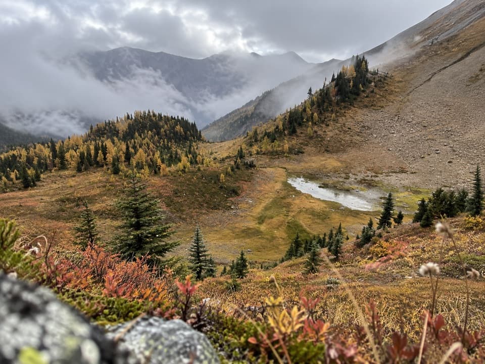
The forest gives way to meadow, young regrowth and increasingly open talus. Wildflowers color the open ground in season, and Mount Whymper and the broad valley come into view behind you. Near the upper junction, follow the marked route to the rocky viewpoint beneath the Guard Wall. Water spills down the pale headwall into the basin, with the glacier visible beyond. This is the main payoff and a natural place to pause before retracing the same path.
The last part of the approach is rougher than the packed lower trail, with loose rock near the viewpoint. Hikers with recurring knee, back or ankle problems may find that finish uncomfortable. Beyond the maintained viewpoint, an unmaintained route loops higher toward the glacier toe across steep scree and unstable rock. It adds substantial distance and requires more confident footing and route-finding; it is a separate, much harder outing. Stop at the viewpoint if the loose terrain is already testing your balance.
The cliffs and talus hold part of the Burgess Shale story: fossils here preserve marine life from about 500 million years ago. One named animal is Cambroraster, an ancient arthropod with a broad head shield. Parks Canada also offers a separate guided fossil hike in the basin, which needs an advance reservation; the regular trail is open without joining that program. Fossils, rocks and other natural objects must stay where they are.
Wildlife
 41 sightingsGrizzly BearMost seen around 8 PMSighting map
 31 sightingsGray WolfMost seen around 8 PMSighting map
 22 sightingsMooseMost seen around 6 AMSighting map
 84 sightingsMountain GoatMost seen around 7 PMSighting map
 522 sightingsBighorn SheepMost seen around 7 AMSighting map
 65 sightingsElkMost seen around 6 AMSighting map
Sighting maps show where each species has been reported across Kootenay. Wildlife moves, so no sighting is guaranteed.
Keep exploring
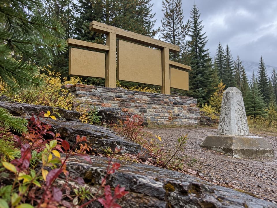 EasyFireweed Loop0.6 km · 20 min · 3.3 km awayA shaded little loop through the 1968 fire’s recovering forest
 ModerateChickadee Valley10 km · 3 hr · 3.3 km awayA winter valley outing where you have to find the line.
 EasyMarble Canyon1.8 km · 36 min · 3.7 km awayAn easy bridge walk over a startlingly deep, turquoise canyon.
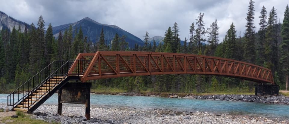 EasyVermilion River Trail2.9 km · 2 hr · 3.7 km awayA forest connector between Marble Canyon and the Paint Pots.
 ModerateTokumm Creek Trail8.6 km · 3.5 hr · 3.7 km awayA creekside wilderness route with no trail maintenance.
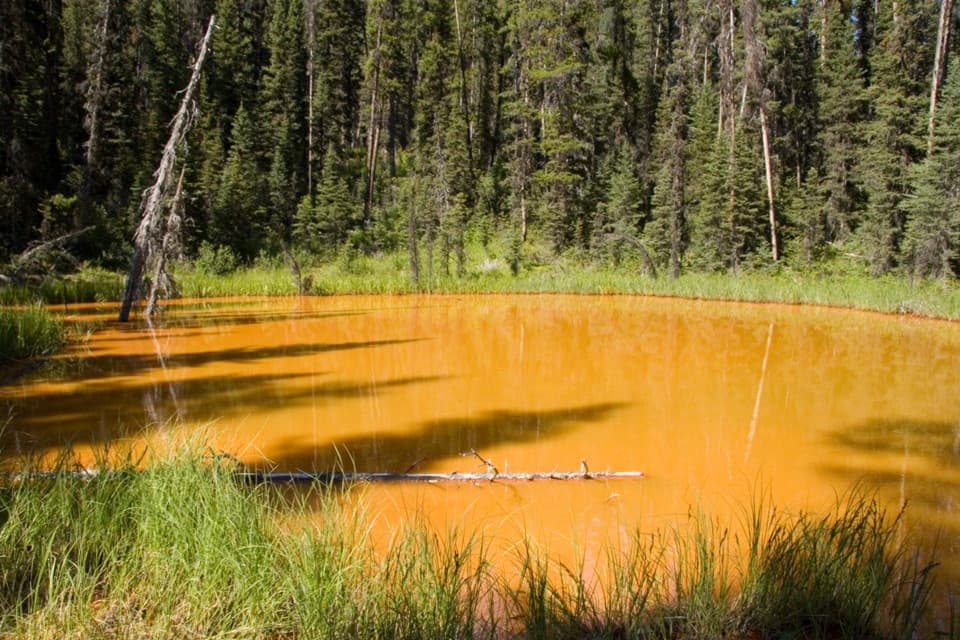 EasyPaint Pots Trail2 km · 45 min · 6.1 km awayCross the Vermilion River to three iron-rich springs.
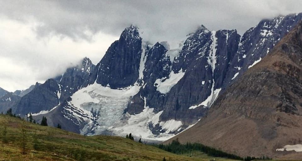 ChallengingTumbling-Floe Traverse37.7 km · 2.5 days · 6.1 km awayA two-to-three-day traverse from Paint Pots to Floe Lake.
 ChallengingHelmet Creek Trail28.4 km · 10 hr · 6.1 km awayA long hike from ochre springs to a 300 m waterfall.
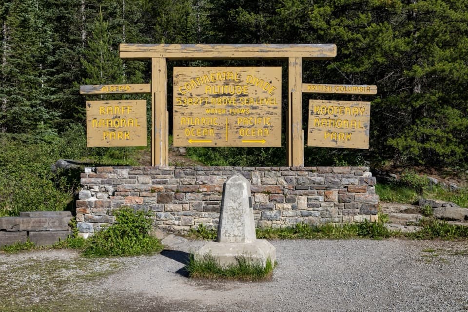 Sight · 3.3 km awayContinental DivideStand on the divide between the Pacific and Atlantic watersheds.
 Campground · 3.6 km awayMarble Canyon CampgroundA basic campground in a spruce forest with no cell signal.
 Sight · 3.7 km awayStanley GlacierWaterfalls and a turquoise crossing lead to a glacier basin.
 Sight · 3.7 km awayMarble CanyonSeven bridges, blue water, and a waterfall on a short gorge walk.
 Sight · 6.7 km awayPaint PotsThree iron-rich springs stain the ground a vivid ochre.
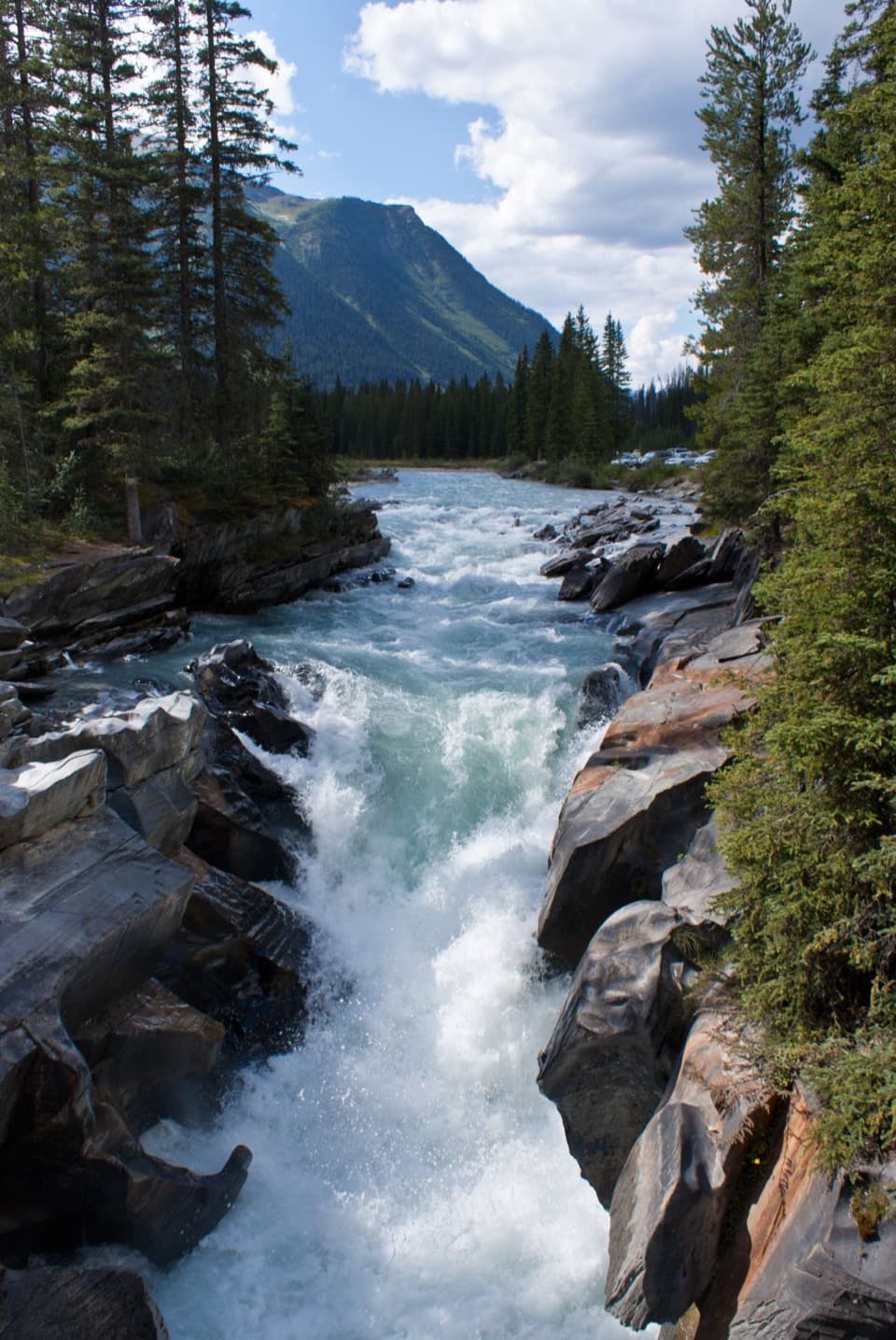 Sight · 8.9 km awayNuma FallsA short bridge walk reveals the Vermilion's sculpted canyon.
 Campground · 9.3 km awayHelmet / Ochre Junction CampgroundA creekside backcountry camp at the Rockwall trail junction.
 Campground · 12.8 km awayNuma Creek CampgroundA backcountry campground on the 54.1-km Rockwall Trail.
Parkwolf’s Kootenay ranking

The audio tour guide for the drive, plus offline maps, trails, and wildlife heatmaps for when the signal drops.