Overview
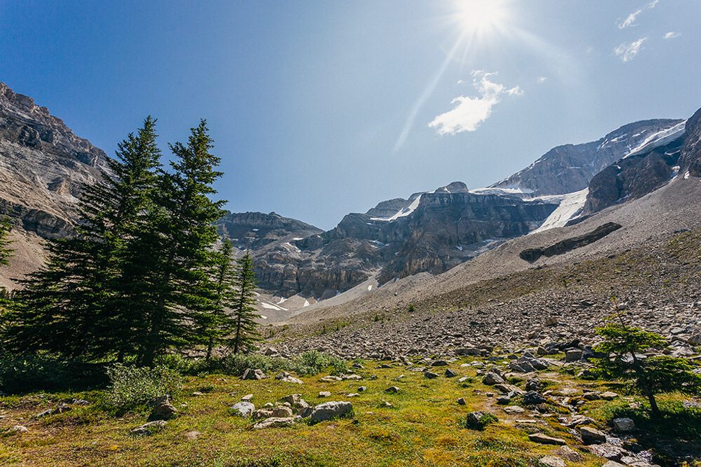
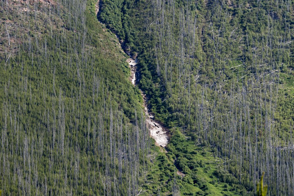
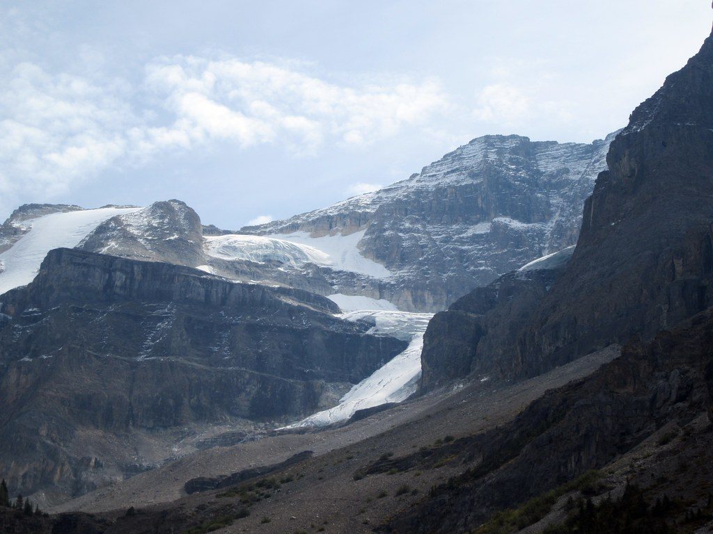
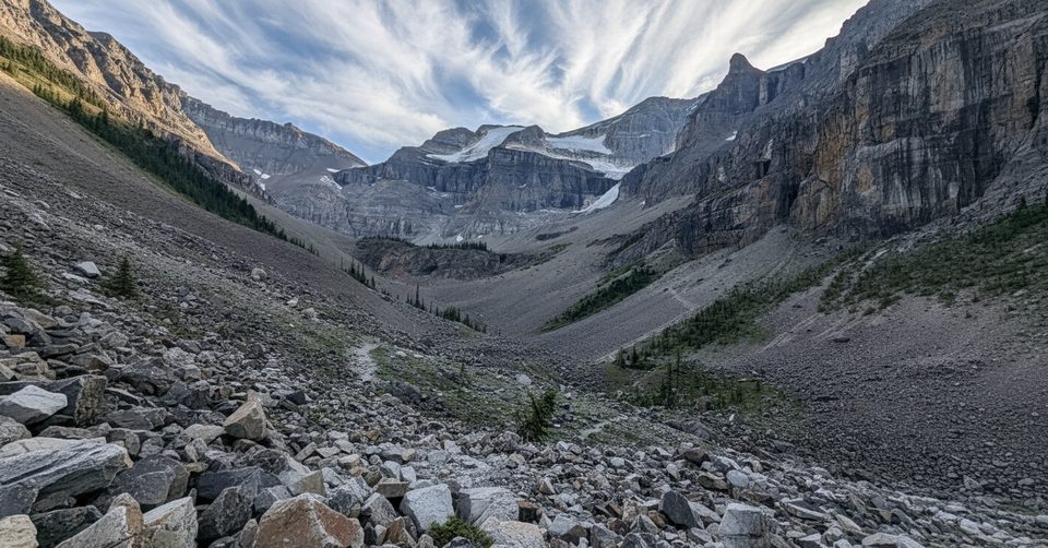
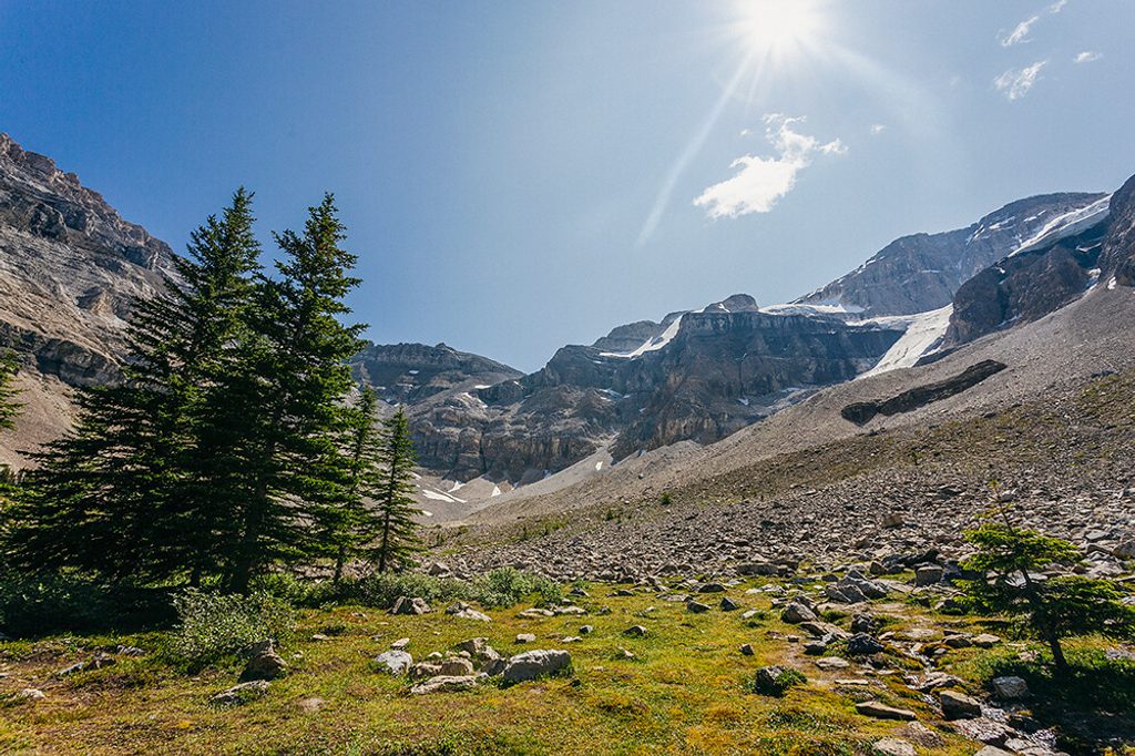
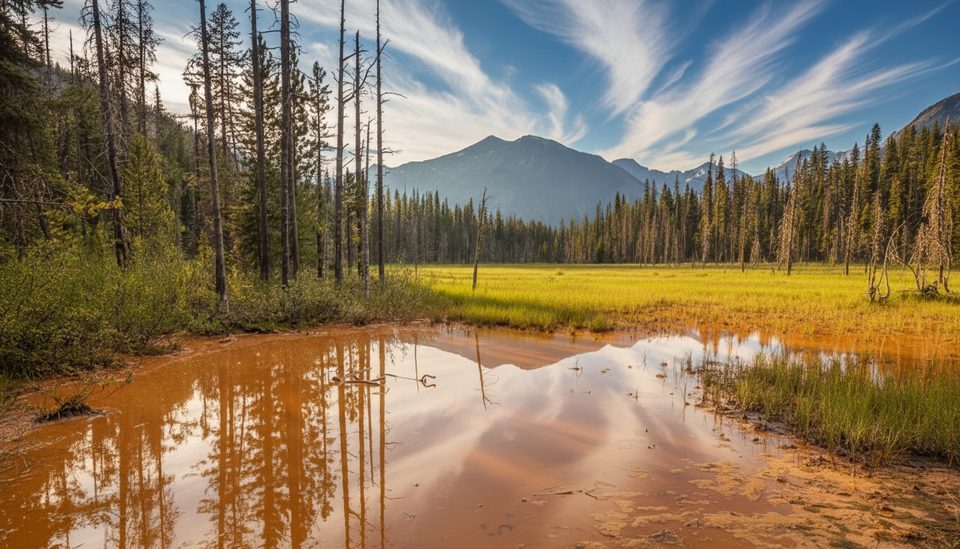
Stanley Peak towers above the Stanley Glacier basin, where burned forests, cliffs, and ice make for dramatic scenery. Most visitors experience it from the well‑built Stanley Glacier trail; climbers use that approach for north‑face routes, while scramblers tackle loose south‑side lines via Haffner Creek. It’s an adventurous objective rather than a casual viewpoint.
Routes and Difficulty
- Hikers: The Stanley Glacier trail is a moderate outing into a hanging valley with glacier views. Expect easy graded switchbacks at first, then rougher, rockier terrain near the basin. Some hikers scramble higher on loose scree to reach the glacier’s toe—tough but doable if you’re comfortable off‑trail.
- Scramblers (south side, Haffner Creek): The classic “Kane‑style” south slopes are moderate in rating but demanding in reality—loose dirt and scree, rockfall exposure, and tricky route‑finding through cliff bands. Parties often test several gullies before finding a safe weakness; many prefer vegetated margins over the center of the avalanche path on descent.
- Alpinists (north side): The peak’s north face hosts snow and ice lines like the Kahl Route, plus couloirs. Approaches use the Stanley Glacier trail; many parties descend the NW Ridge, sometimes rappelling a cliff band. This is real alpine terrain.
Trailhead & On‑the‑Ground Basics
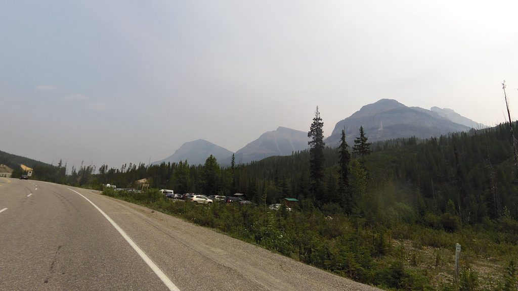
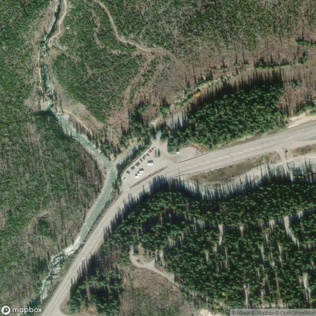
- Trailhead: Clearly signed with dedicated parking, just off Highway 93. There’s a toilet at the start, but no potable water—bring your own.
- Conditions: Sections can be wet, muddy, and bouldery. Trekking poles help; sturdy footwear is a must. There is no cell service in Kootenay National Park, so download maps beforehand.
- Dogs: Allowed on leash on the trail. Note: Pets are not permitted on Parks Canada guided hikes.
Geology, Fossils, and Why This Area Is Special
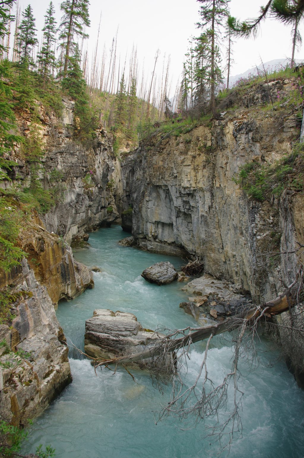
This basin offers an introduction to the Burgess Shale story—one of the world’s great windows into Cambrian life. New species (like the arthropod Cambroraster) have been described from this region. Photograph any fossils you notice and leave them in place; removing natural or historic objects from a national park is illegal.
Guided Hikes (Great for Curious Hikers)
Parks Canada runs guided hikes to Stanley Glacier, typically June–September, with reservations opening in January. These trips focus on geology and fossils and meet at the Stanley Glacier trailhead. Expect a moderate pace, no pets, and age limits for kids; bring layered clothing, rain gear, solid boots, lunch, and plenty of water. A valid park pass is required.
Safety Notes
- Rockfall is a constant hazard on the south‑side scrambles—helmets are a smart call even for non‑technical climbers.
- The south slopes can bake in the sun; carry ample water.
- Windy days increase the risk of falling burned trees in the valley.
- The final approach to ice or steep snow on the north side is mountaineering—treat it accordingly.
Best Time to Visit
Late spring through early fall is prime for the Stanley Glacier hike and for accessing scrambles and alpine routes. For the most relaxed parking and cooler temps on the south aspects, start early in the morning. Guided hikes generally run June–September. Winter conditions turn the north face into a technical objective, not a casual outing.