
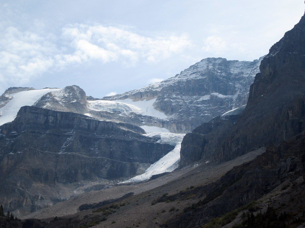
Place
Easy
Short, sweet, and surprisingly scenic. Dog Lake is the go‑to easy hike when you’re cruising BC‑93 and want real-deal Rockies vibes without a big effort. The route crosses two suspension bridges over the blue Kootenay River, climbs steadily through mature forest, then drops to a quiet lakeshore backed by the Mitchell Range. Expect roughly 3.2 miles total out-and-back, with a gentle grade and one sustained hill after the bridges.
Right out of the gate you get the show: two airy bridges and big-river views. That vivid color? It’s glacial rock flour suspended in the Kootenay River. In the woods, the tread is natural dirt/duff with roots and occasional mud. A rustic bench marks the high point before you descend to the lake. On calm days, the shoreline delivers mirror reflections of the surrounding peaks and the soundtrack of birds—loons are common here.
This is typically hiked as an out-and-back on an official, signed path. At the lake, take the well-beaten right-hand shoreline path for the best views; the immediate edge can be reedy and muddy. Bridges have a gentle wobble—take your time if heights make you nervous. No cell service in this area, so download details before you go. Dogs are allowed on leash, and there’s a restroom at/near the trailhead.
It’s an easy hike for most, but not flat. Plan 1.5–2 hours at a relaxed pace. The climb is mostly forested (limited views until the river/lake), so save your photo stops for the bridges and shoreline.
Open year‑round. Summer brings the easiest footing and the option to wade or swim if you don’t mind a brisk dip—bring a small towel. In spring and fall, expect some mud or lingering snow/ice; check conditions before you go. Winter often sees packed snow from regular use, but traction varies—microspikes or snowshoes can be situational. For quieter vibes and glassy reflections, start early.
Yes—especially if you like a big scenic payoff for minimal effort. It’s not the park’s most dramatic hike, but the bridge-and-lake combo is a crowd‑pleaser and a great leg-stretcher between road destinations.
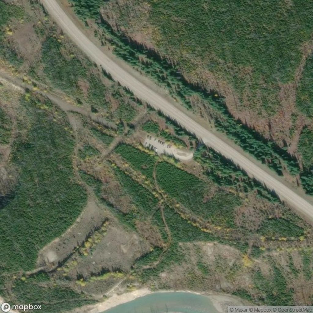
Signed access from BC‑93 near McLeod Meadows day-use/picnic area; park there and follow the signed path that briefly passes the campground to the river bridges.
Prime bear country—carry bear spray and make noise; bridges wobble slightly; no cell service; shoreline can be muddy with sink-in spots. In shoulder seasons, expect ice or snow.
Place
Place
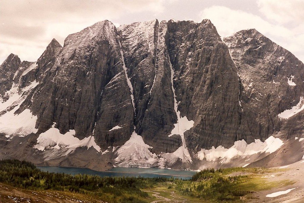
Place
Place
Challenging
Moderate
Challenging
Challenging

Parkwolf Tour Guide
