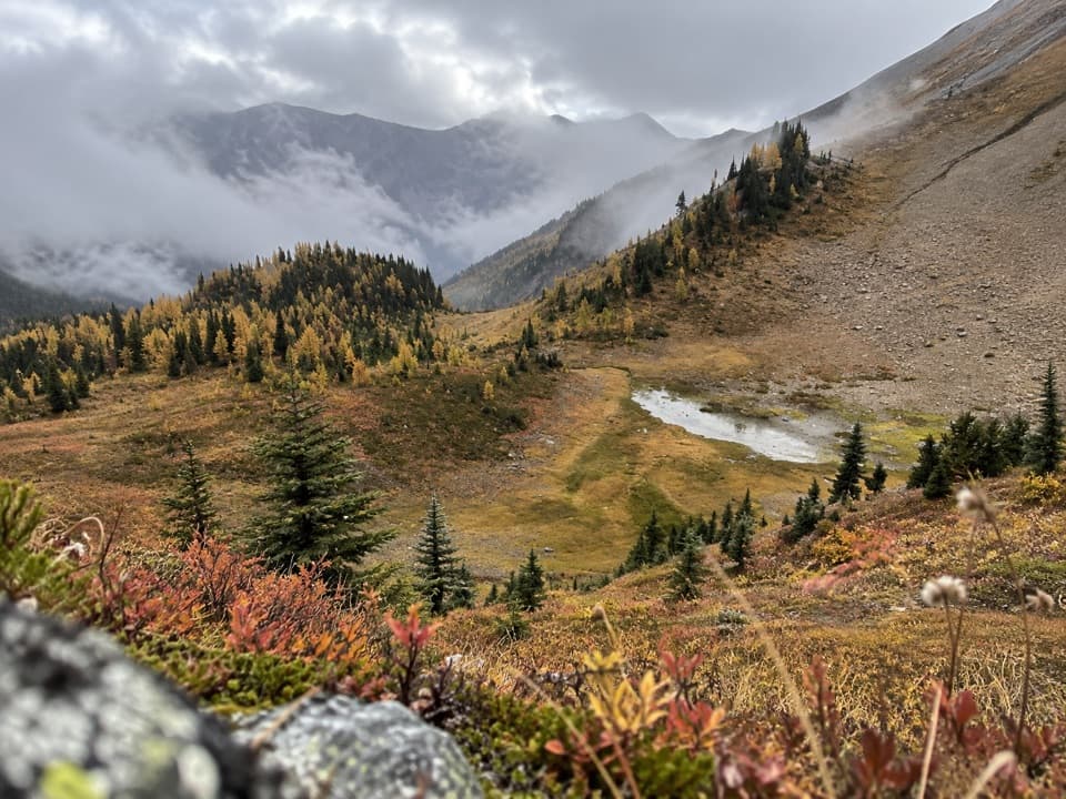
Parking
Start at the Paint Pots parking lot off Highway 93 South and finish at Floe Lake parking lot. This is a point-to-point route, so arrange a vehicle transfer between the two trailheads.
#1 of 38 trails in Kootenay
Kootenay National Park, BC
Three passes, the Rockwall, and Floe Lake anchor an alpine traverse.
Overview
Map & elevation
Plan your hike

The highest, rockiest slopes around here are a summer buffet for grizzly bears.
Kootenay Tour Guide
Parkwolf is a GPS audio tour guide for Kootenay National Park. As you drive, it chimes in with what’s ahead: hidden gems, upcoming stops, history, geology, and wildlife, right through your car’s speakers.
See the Kootenay audio tourRecorded for this trailhead
Paint Pots: Colour in the Earth“Up ahead is the Paint Pots trailhead, for a gentle walk to three springs whose iron-rich water stains the earth orange.”
Plays as you drive up to this trailhead in the Parkwolf Kootenay Tour Guide.
More stories near here in the app
“Fantastic app with many points of information… It’s great to just turn on while you’re driving and it gives you an audio tour of the national Park. We love it!!!!”


Trail guide
The Rockwall Trail is a 54.1 km, one-way backpacking route across Kootenay’s northern backcountry, between the Paint Pots and Floe Lake trailheads. Most hikers take 3–5 days; four days is a useful middle-of-the-road plan. It climbs about 3,405 m and descends about 3,500 m, so this is a serious multi-day trip rather than a long day hike. The route can be walked in either direction. Arrange a vehicle transfer between the two highway lots before you set out.
The northern approach leaves Paint Pots parking lot through forest and climbs toward the alpine. The orange mineral pools and ochre beds are close to the trailhead, then the path continues toward Helmet Creek and the first campground access at Helmet–Ochre Junction, about 6 km in. Farther along, Helmet Falls campground sits at the base of a waterfall that drops roughly 300 m from Helmet Mountain. The picnic area at the back of camp is a good place to look up at the falls before moving on.
The route’s defining stretch runs between Helmet Falls and Tumbling Creek. Three high passes lead through subalpine meadows beneath hanging glaciers and a huge limestone escarpment that rises more than 900 m above the trail in places. The wall is close enough to dominate the walk for long stretches, while the passes open the view across the surrounding peaks. If you can give one part of the trip extra time, make it this alpine section.
After the high country, the route drops into the Tumbling Creek valley, where the campground sits between Rockwall Pass and Tumbling Pass with river access. Then it climbs again toward Numa Creek, another campground tucked between Tumbling and Numa passes, before the final rise toward Floe Lake. You cross the route’s biggest landscape changes by foot: forest approaches, open passes, creek valleys, and back into alpine terrain.
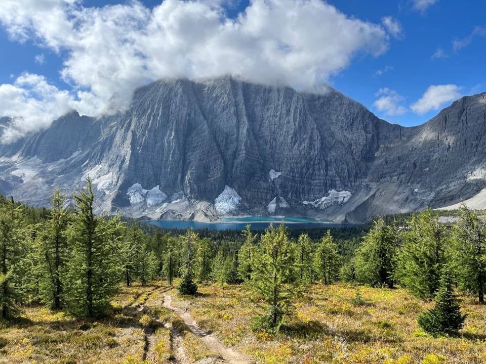
Floe Lake is the southern end’s big payoff, with a lakeside campground beneath the surrounding rock and snow. From here the route descends to the Floe Lake parking lot. If you want the lake but not a multi-day traverse, the separate Floe Lake day hike is about 22 km return with 750 m of climbing from that lot; it misses the Rockwall’s central pass section.
There are five designated backcountry campgrounds along the route, so your itinerary depends on which nights you can reserve and how far you want to walk each day. An overnight backcountry permit and assigned tent pad are required, and you also need a national park entry pass. Random camping and campfires are prohibited. Bring your meals for the full trip, plus food for an extra day. Store food, garbage, and scented items in the wildlife-proof lockers or bear poles at camp. Pets are allowed in the backcountry but must stay leashed.
Wildlife
 41 sightingsGrizzly BearMost seen around 8 PMSighting map
 31 sightingsGray WolfMost seen around 8 PMSighting map
 22 sightingsMooseMost seen around 6 AMSighting map
 84 sightingsMountain GoatMost seen around 7 PMSighting map
 522 sightingsBighorn SheepMost seen around 7 AMSighting map
 65 sightingsElkMost seen around 6 AMSighting map
Sighting maps show where each species has been reported across Kootenay. Wildlife moves, so no sighting is guaranteed.
Keep exploring
 ChallengingTumbling - Helmet - Ochre Loop36.9 km · 2.5 days · At the trailheadTwo or three days among alpine meadows, Helmet Falls and the Rockwall.
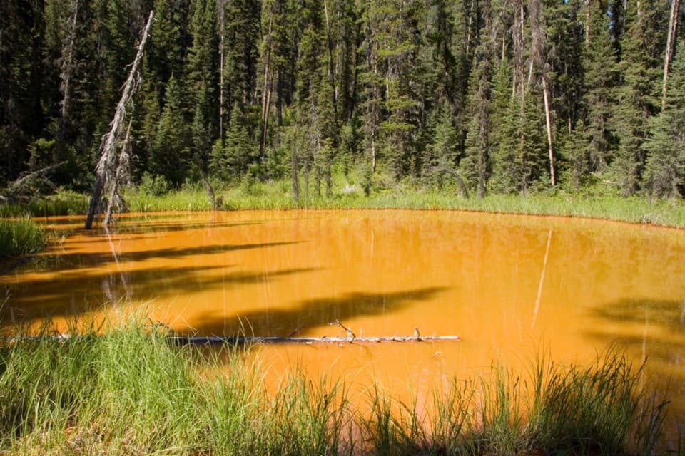 EasyPaint Pots Trail2 km · 45 min · At the trailheadCross the Vermilion River to three iron-rich springs.
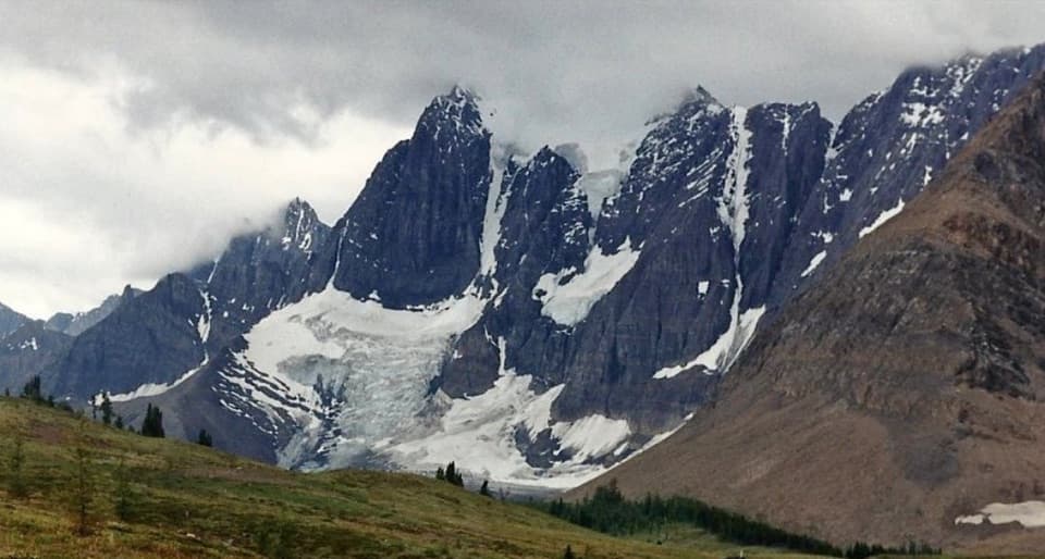 ChallengingTumbling-Floe Traverse37.7 km · 2.5 days · At the trailheadA two-to-three-day traverse from Paint Pots to Floe Lake.ChallengingHelmet Creek Trail28.4 km · 10 hr · At the trailheadA long hike from ochre springs to a 300 m waterfall.
 ChallengingTumbling Creek Trail20.4 km · 6 hr · At the trailheadA hard climb to Tumbling Falls and a gateway to the Rockwall.
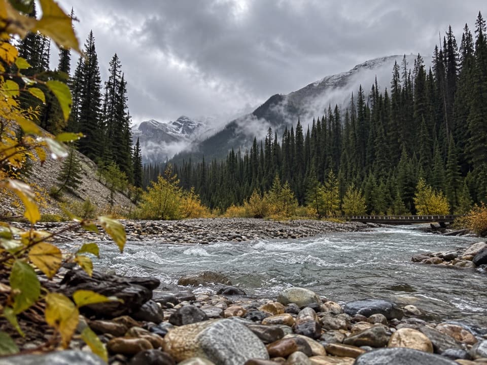 ModerateOchre Creek Trail12.4 km · 4 hr · At the trailheadA forested creek walk to the northern Rockwall campground.
 ModerateTokumm Creek Trail8.6 km · 3.5 hr · 2.5 km awayA creekside wilderness route with no trail maintenance.
 EasyMarble Canyon1.8 km · 36 min · 2.5 km awayAn easy bridge walk over a startlingly deep, turquoise canyon.
 Sight · 0.8 km awayPaint PotsThree iron-rich springs stain the ground a vivid ochre.
 Sight · 2.5 km awayMarble CanyonSeven bridges, blue water, and a waterfall on a short gorge walk.
 Campground · 2.5 km awayMarble Canyon CampgroundA basic campground in a spruce forest with no cell signal.
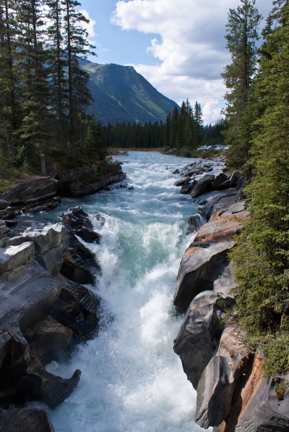 Sight · 4.3 km awayNuma FallsA short bridge walk reveals the Vermilion's sculpted canyon.
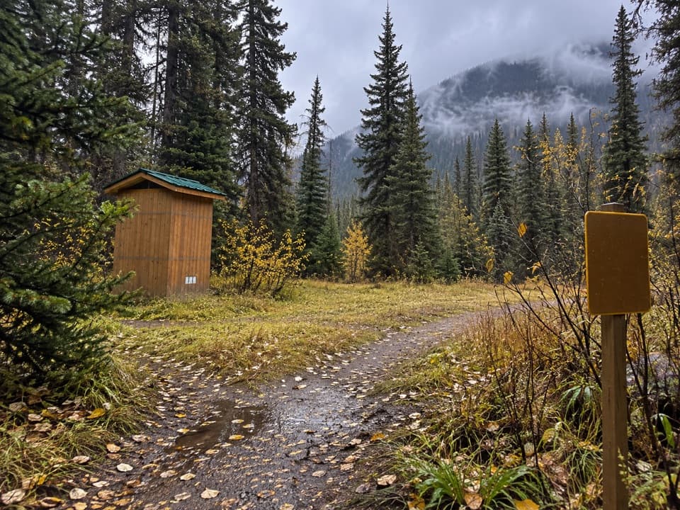 Campground · 5.3 km awayHelmet / Ochre Junction CampgroundA creekside backcountry camp at the Rockwall trail junction.
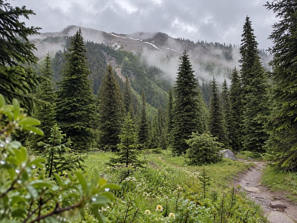 Campground · 7 km awayTumbling Creek CampgroundA useful northern camp for a full Rockwall backpacking traverse.
 Campground · 7.1 km awayNuma Creek CampgroundA backcountry campground on the 54.1-km Rockwall Trail.
 Sight · 7.6 km awayStanley GlacierWaterfalls and a turquoise crossing lead to a glacier basin.
Parkwolf’s Kootenay ranking

The audio tour guide for the drive, plus offline maps, trails, and wildlife heatmaps for when the signal drops.