
Place · 0 mi away
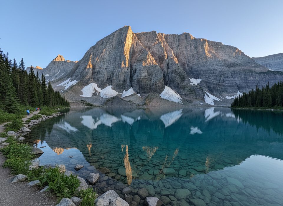
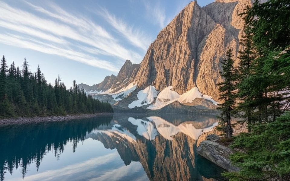
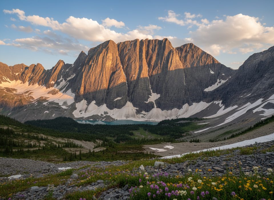
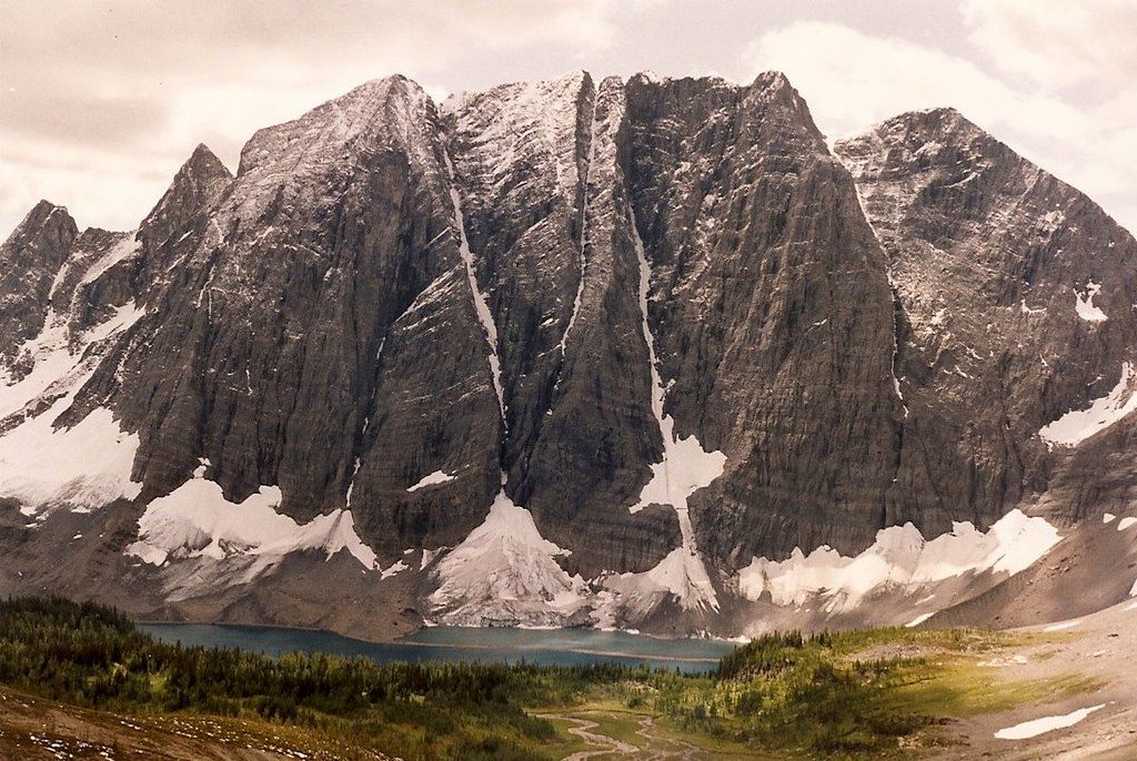
Floe Falls is the striking cascade that tumbles off the headwall beneath Floe Peak, framing the turquoise waters of Floe Lake. You don’t hike to the falls themselves so much as earn the view: the best perspectives are right from the lake’s shore and, if you’ve still got legs, from higher up on the Numa Pass trail.
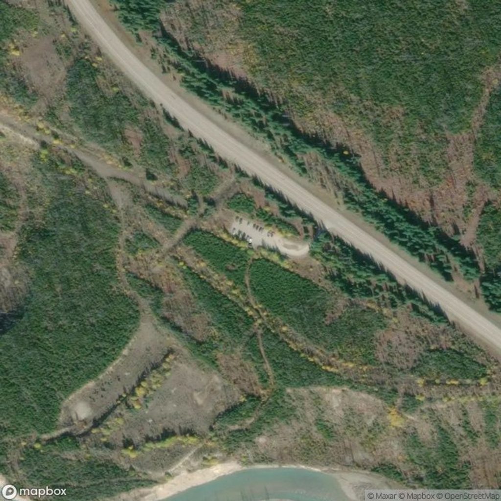
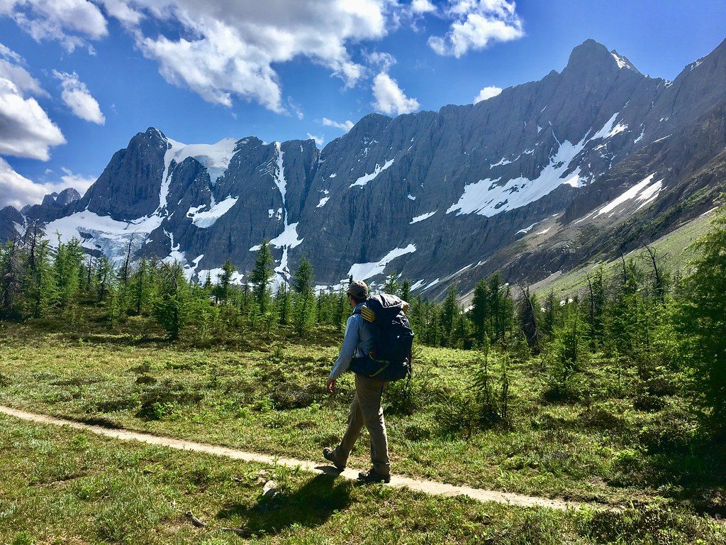
The journey follows the Floe Lake Trail off Highway 93S. It starts gently with two bridged crossings—first the Kootenay River, then a creek around 1.8 km—before a long, exposed traverse through old burn. Expect limited shade and long stretches without easy water access. Around ~6.5 km many hikers pause at a creek; from there the trail steepens. The final push is a series of stout switchbacks in the last ~2 km that gain roughly half the day’s elevation. Once it levels out, you’ll pass the campground sign and drop to the lakeshore—cue the waterfall-and-granite-cliff show.
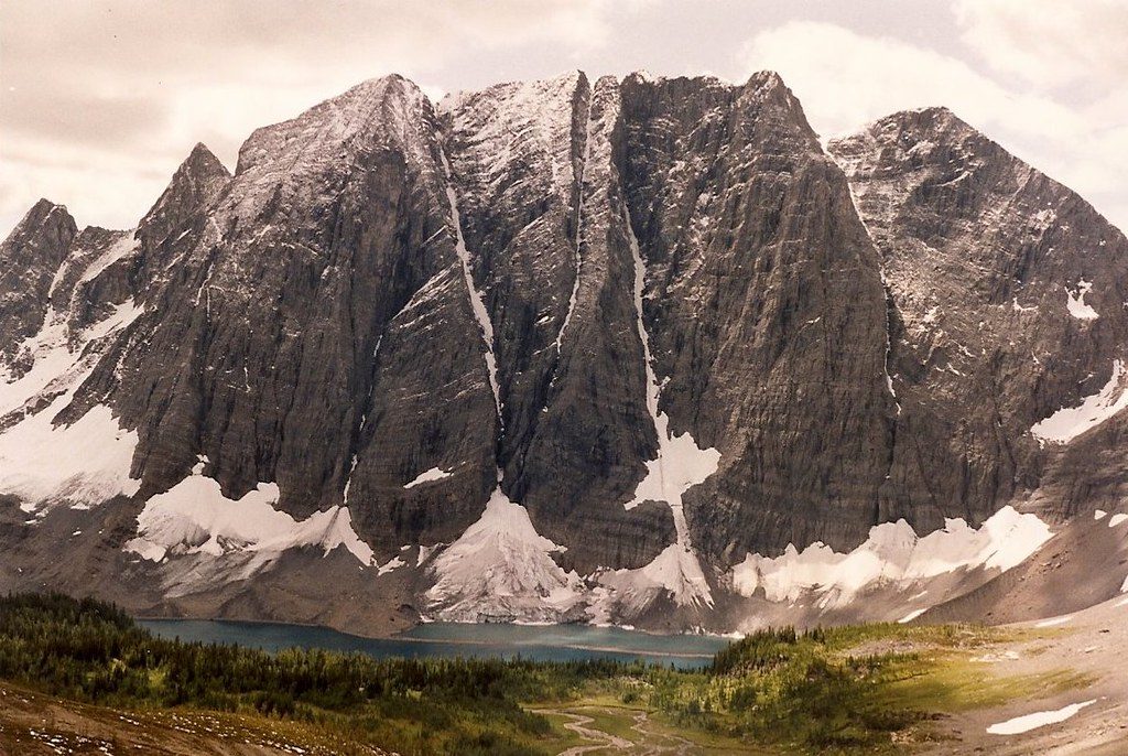
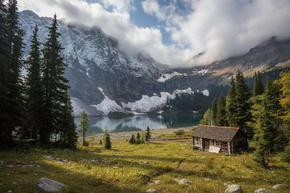
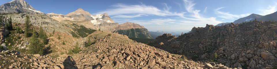
The amphitheater of cliffs, the isolated alpine lake, and that clean ribbon of water pouring off the headwall make this one of the Rockies’ most memorable scenes. In summer, the traverse carries bursts of pink fireweed through the burn; from Numa Pass, you get a grandstand look back over the lake, the headwall, and the falls.
Best window is July to early October. Snow lingers at elevation; late fall brings ice and slippery sections, and avalanche danger exists in season. Microspikes and trekking poles help on the shoulder seasons’ switchbacks. The Floe Lake parking lot closes for winter.
If you want sunrise/sunset on the falls, consider camping at Floe Lake (reservations required; 18 designated sites typically book July 10–early October). Facilities include two eating areas with picnic tables and bear lockers, plus two outhouses. No fires—bring a stove. Draw water from the lake and treat/filter it.
This is prime bear country—carry bear spray and know how to use it, store all food properly, and follow Leave No Trace. Check Parks Canada trail reports and any closures before you go. Watercraft and angling are prohibited in all park waterbodies until March 31, 2026.
Aim to reach the lake in the morning; the basin falls into shadow early in the afternoon, which flattens photos. Weekdays see fewer hikers than peak-season weekends. If you’ve got energy, continue toward Numa Pass for a higher, sweeping look at the falls and lake.
Place · 0 mi away
Place · 4 mi away
Place · 4.3 mi away
Place · 4.3 mi away
Challenging · 0 mi away
Challenging · 0 mi away
Challenging · 0 mi away
Challenging · 0 mi away

Parkwolf Tour Guide
