
Place
Challenging
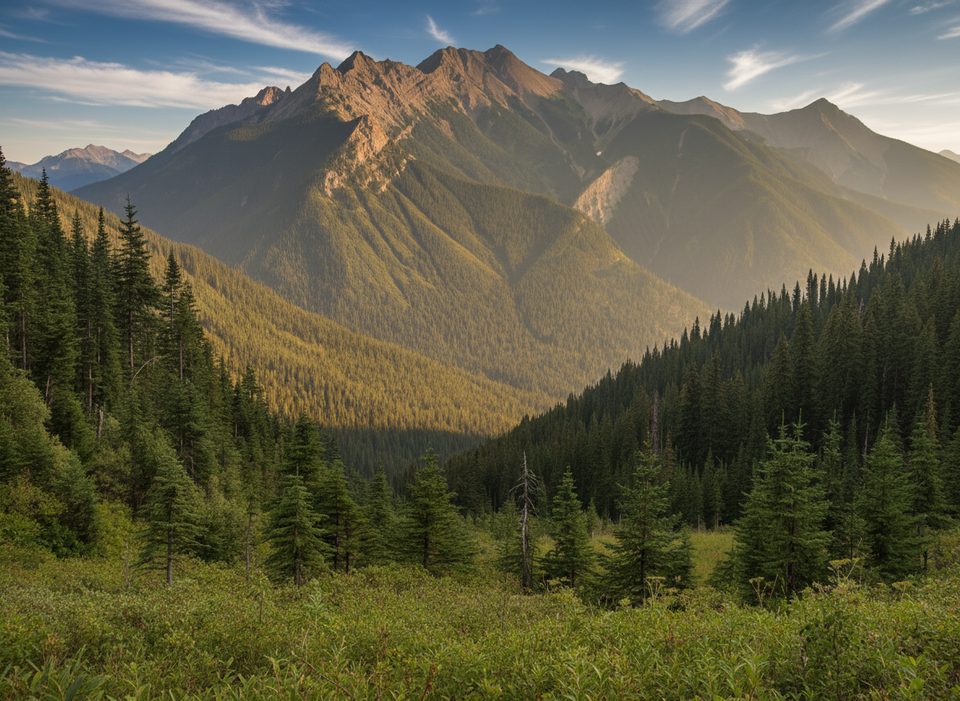
This is a stout, view-packed loop that climbs from dense forest to airy alpine between Kindersley Pass and the Kindersley–Sinclair col before dropping down the Sinclair Creek side. Total distance is about 10.8 miles for the full loop, which includes a short 0.75‑mile roadside connector to close the circuit. Expect around 4,350 feet of cumulative gain—most of it front‑loaded on the Kindersley side—and plan on 6–8 hours depending on pace, heat, and side trips.
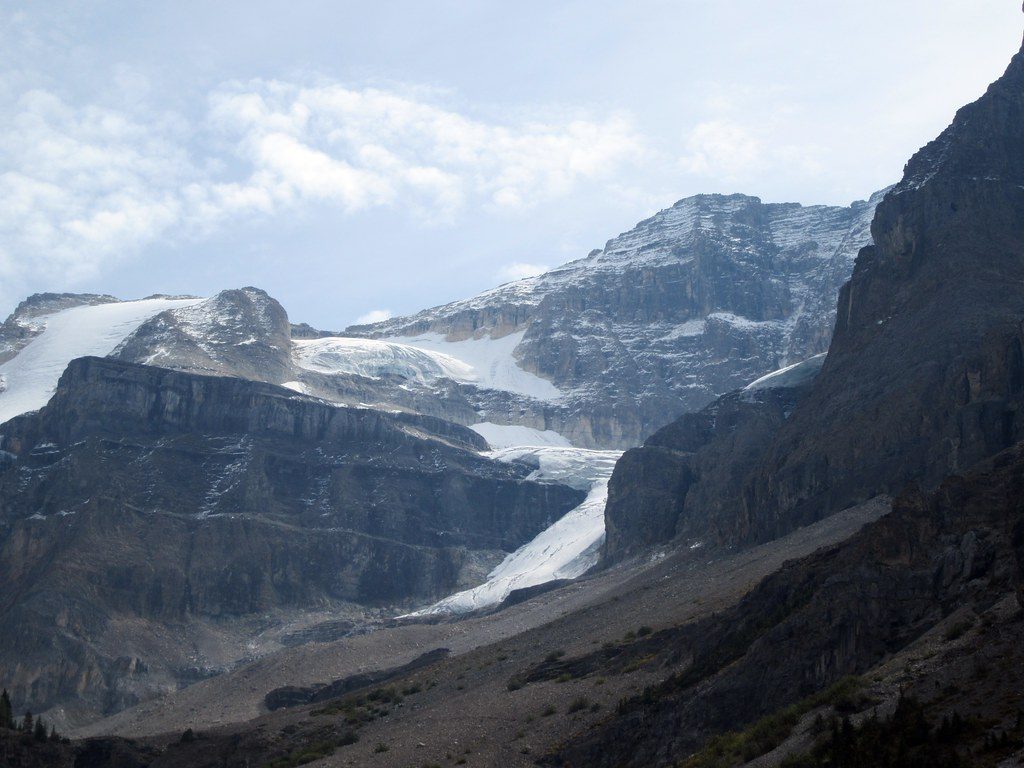
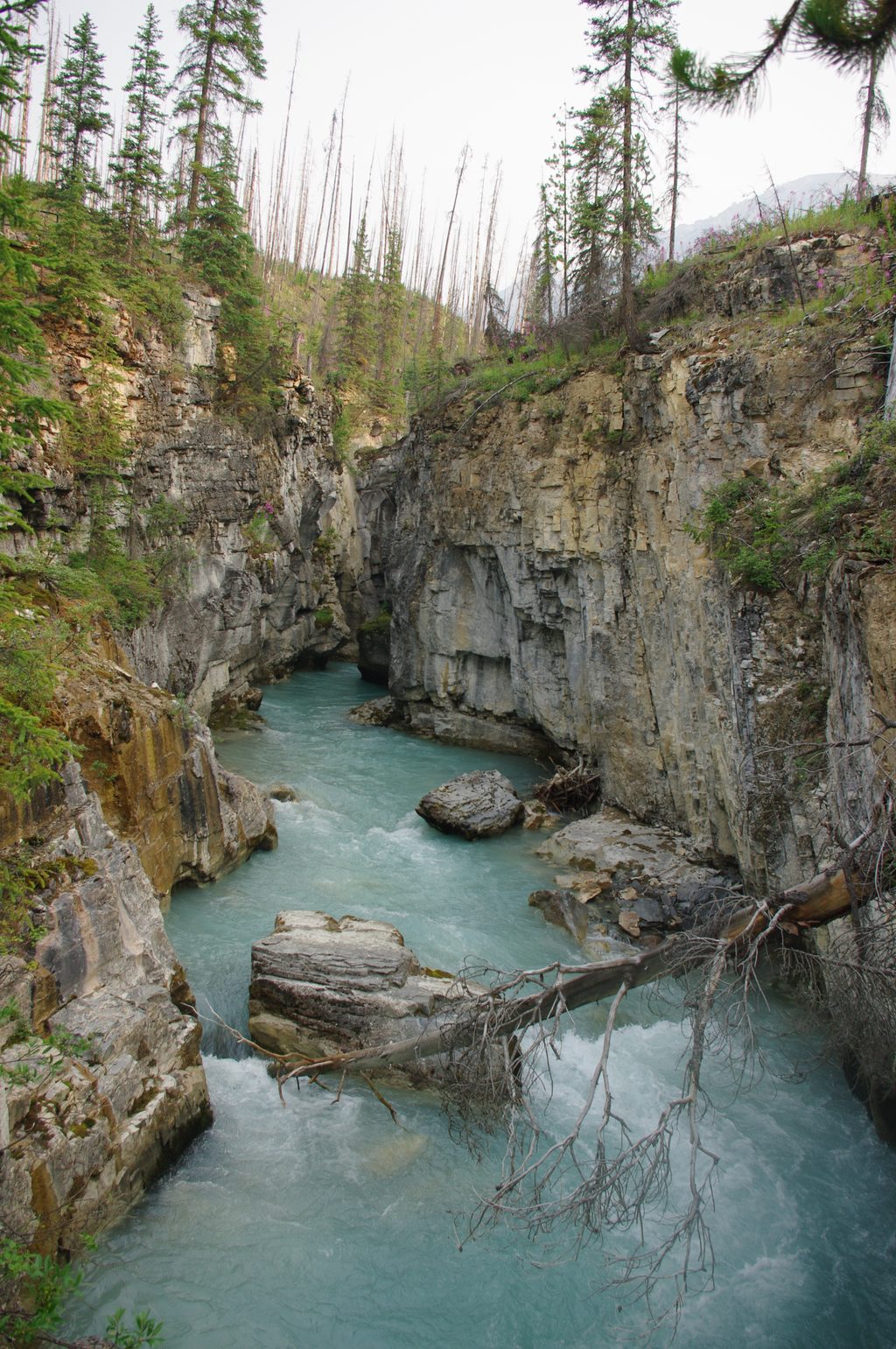
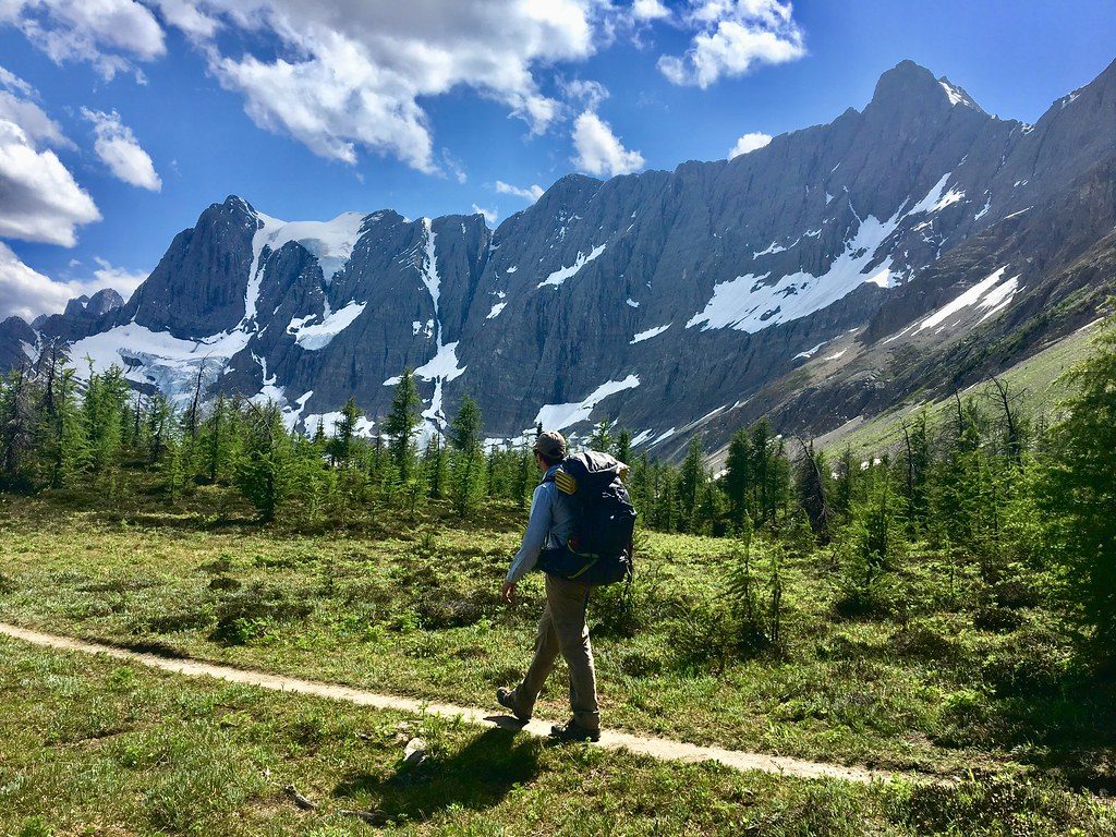
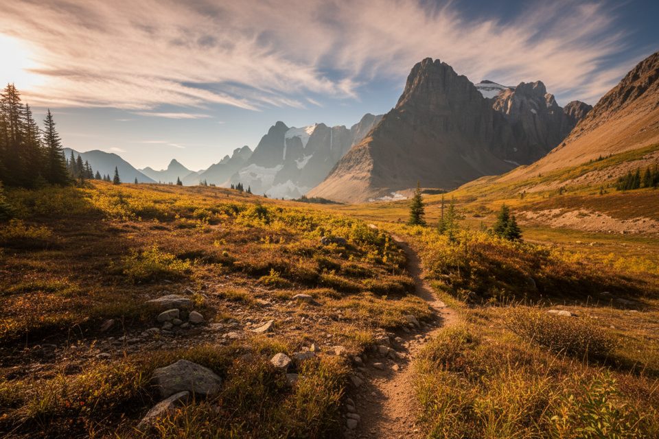
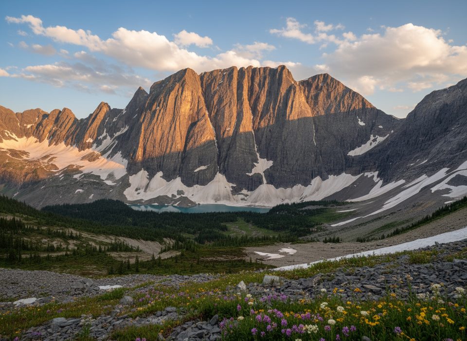
The lower miles wind through cool forest and vegetated avalanche paths with the occasional glade. As you near and pass Kindersley Pass, trees thin into subalpine meadows and rocky ribs with far better sightlines. The high country between the pass and the col is the payoff: open slopes, rubbly ridges, and big panoramas. Parties often tag easy bumps near the col for broader views; one hosts a small radio repeater and helipad. The descent down Sinclair Creek is more enclosed but punctuated by wildflower patches (think fireweed in season) and classic glacial landforms like a hanging valley.
Underfoot you’ll find everything from firm singletrack to broken slate on west‑facing sections—watch your footing on the descent. After rain, expect wet brush and a “washboard” pattern on the tread in places. Streamlets along the approach can be handy on hot days; treat all water before drinking. Occasional washouts have forced brief detours in the creek on the Sinclair side—be prepared to adapt.
This is prime bear country with a seasonal group‑size restriction: from roughly May 1 to November 30, travel as a group of four or more and keep members within about 3 meters of each other. Moose are sometimes seen near Kindersley Pass. Carry bear spray, make noise, and give wildlife space.
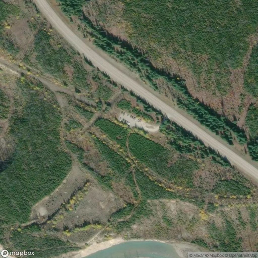
Two trailheads sit along Highway 93S east of Radium Hot Springs: Kindersley Pass and Sinclair Creek. Park at one and, if possible, set a car shuttle to skip the 0.75‑mile highway shoulder walk that closes the loop. If you don’t shuttle, finish the loop with that roadside segment. Wear sturdy boots and bring gaiters or quick‑dry layers if brush is wet. A map or GPS helps if you detour to the col‑side bumps.
Late July through early September typically offers the most reliable snow‑free travel and wildflower color, but summer weather swings fast here. Even in August, brief squalls or graupel can rip through; pack a warm layer, rain shell, and gloves. For cooler temps and quieter hours, start early; mid‑section views are nicest with morning light sweeping the ridges.
Park at either Kindersley Pass or Sinclair Creek trailhead on Highway 93S east of Radium Hot Springs; a two‑car shuttle avoids the roadside connector at the end.
Seasonal restriction typically requires groups of 4+ and staying within ~3 m due to grizzly bears (May–Nov). Watch for wet, overgrown brush, occasional washouts on the Sinclair side, broken slate on descents, rapid weather shifts even in summer, and a 0.75‑mile highway walk to close the loop.
Place
Place
Place
Place
Challenging
Moderate
Challenging
Challenging

Parkwolf Tour Guide
