
Place
Easy
This is a short connector linking Redstreak Campground with the Radium Hot Springs pools through cool, shaded forest. It’s officially 2 km one way (about 4 km/2.5 mi total out and back). Plan on roughly 1.5–2 hours, with stair sections and a brief steeper pitch near the highway. Expect rolling elevation changes that feel modest until the climb on the way back.
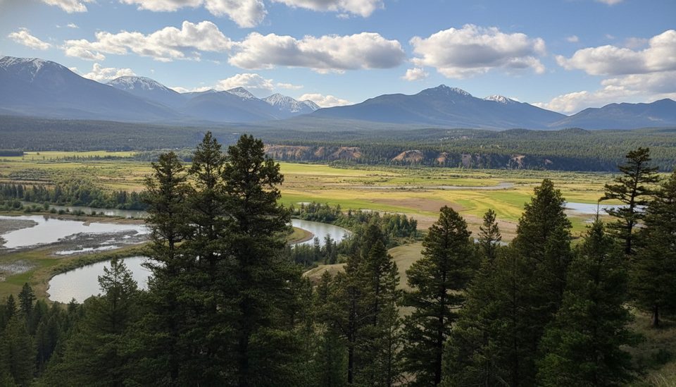
Most of the route winds through a cool, moist forest with a few viewpoints near the campground end looking out over the valley. Stairways lead you into Sinclair Canyon toward the pools, where you can glimpse the creek and falls area. Near the canyon/pools side, highway noise is noticeable. Keep your eyes peeled for Rocky Mountain bighorn sheep—the surrounding slopes are actively managed to support them, and sightings are possible.
Start from Redstreak Campground’s Loop H or from just outside the Radium Hot Springs pools cashier entrance (there’s a picnic area and bathrooms at the pools end). From the campground you descend first and save the climb for after your soak; starting at the pools front‑loads the steeper stairs and short steep pitch before settling into easier forest walking.
The path is well‑maintained but includes long stair runs; a few steps may be in rough shape with walk‑around options. In winter and shoulder seasons, snow and ice are common—traction helps. Mosquitoes can be pesky in season. Official rating is easy, but the stairs and short steep grade add a little bite.
You can walk it year‑round, but April through October offers the friendliest footing. On hot days, this trail stays reliably shaded and cool. In winter, expect ice or packed snow and bring traction if conditions are slick.
Begin from Redstreak Campground Loop H or from just outside the Radium Hot Springs pools cashier entrance (picnic area and bathrooms at the pools end).
Expect long stairs, a brief steep grade near the highway, and seasonal ice; some stair sections are worn—use the walk‑around and give wildlife plenty of space.
Place
Place
Place
Place
Challenging
Moderate
Challenging
Challenging

Parkwolf Tour Guide
