
Place · 0 mi away
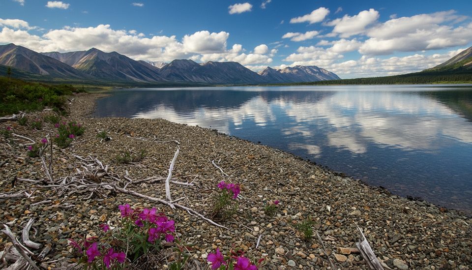
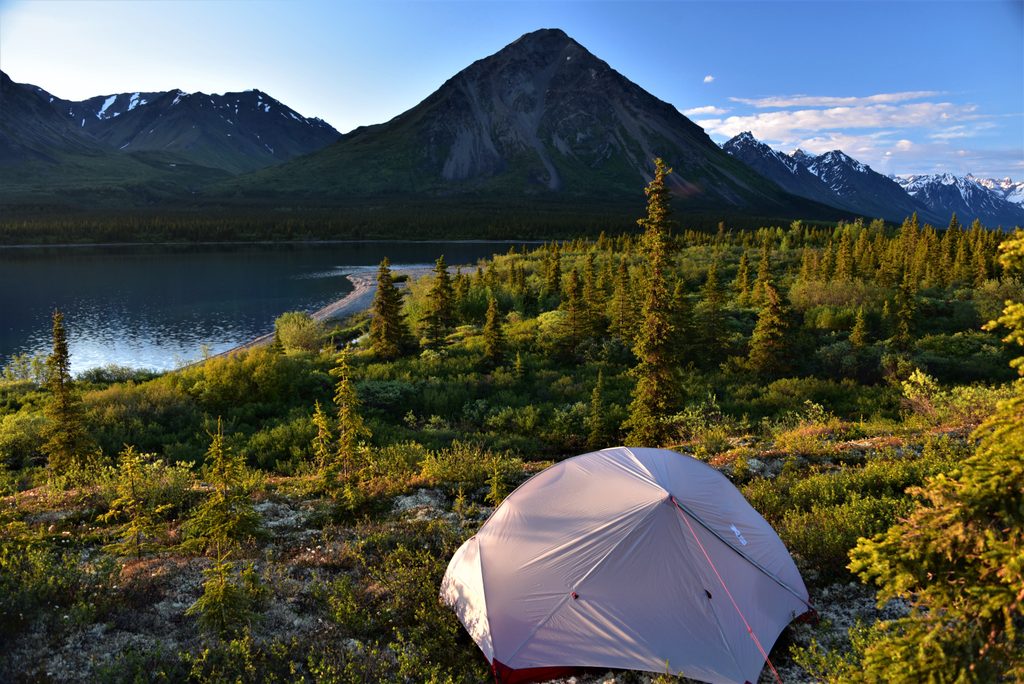
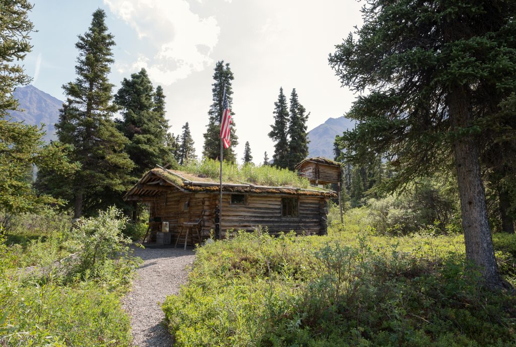
Lower Twin Lake is the quieter half of the famed Twin Lakes, a remote, alpine setting where mountains, clear water, and solitude steal the show. It’s linked to Upper Twin Lake by a roughly 10‑mile shoreline route that runs from the Proenneke Cabin area to the lake’s outlet at the Chilikadrotna River. Expect big scenery, a wild feel, and very few people.
There are no roads or conventional trailheads here. Access is by float or amphibious plane when the lakes are ice‑free. You’ll step out onto a shoreline—no docks, no parking lots—and start your trip from there.
There isn’t a built trail between the lakes; it’s a backcountry route along the shore. The walking is generally gentle to moderate but can be uneven with loose gravel. For the easiest travel and better views, stick to the south side of the lakes and river corridors. If you’re not comfortable with wayfinding and trailless travel, consider hiring a guide.
Facilities are extremely limited. Unlike Upper Twin’s historic site area, Lower Twin has no toilets or developed amenities. A ranger station is typically staffed in summer, but you should plan to be fully self‑sufficient.
This is prime bear country. Bear‑resistant food storage is required within a couple miles of the Twin Lakes shorelines. Cook at least 100 yards from your camp, and manage odors meticulously. Bring proper maps and navigation tools—park brochure maps are not detailed enough for travel. Many visitors carry WAG bags to pack out waste due to fragile soils and proximity to water.
Summer, when the lakes are ice‑free and flight operations are regular, is the sweet spot. Go early or late in the day for calmer water and softer light, and pick weekdays for even more solitude. Always build weather buffer time into your plans—conditions change fast in the backcountry.
Place · 0 mi away
Place · 1.7 mi away

Place · 11 mi away
Place · 17 mi away
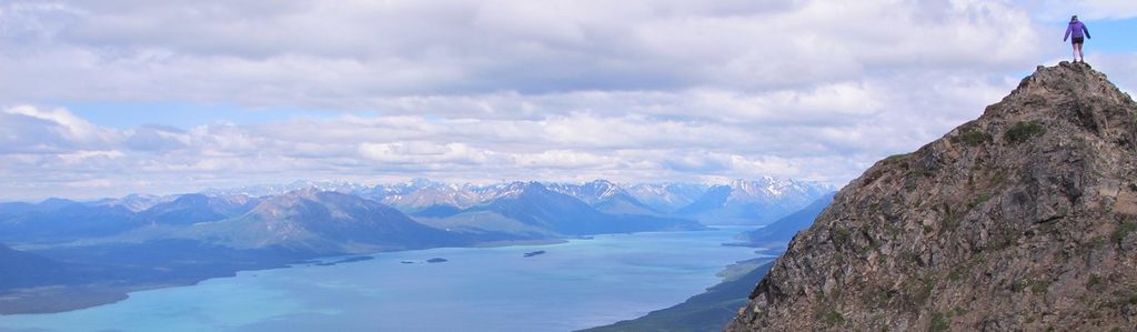
Challenging · 33.9 mi away
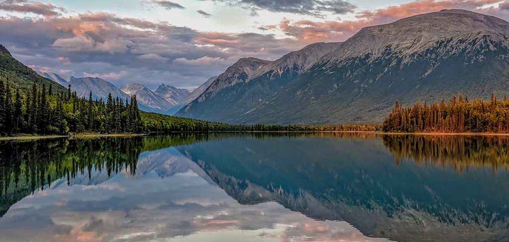
Moderate · 33.9 mi away
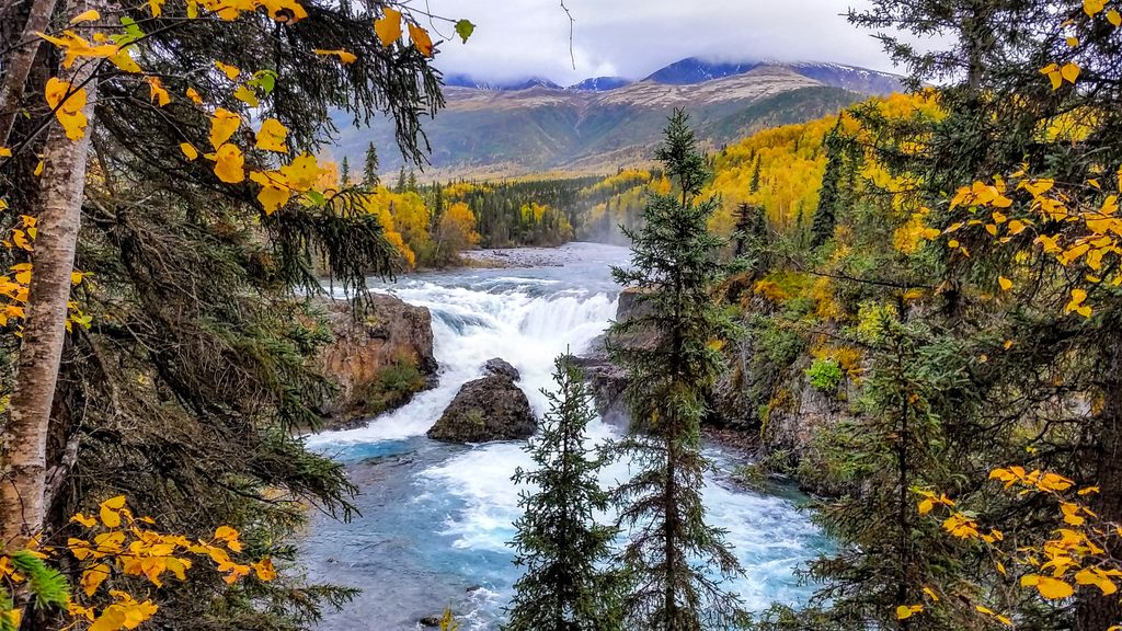
Easy · 33.9 mi away
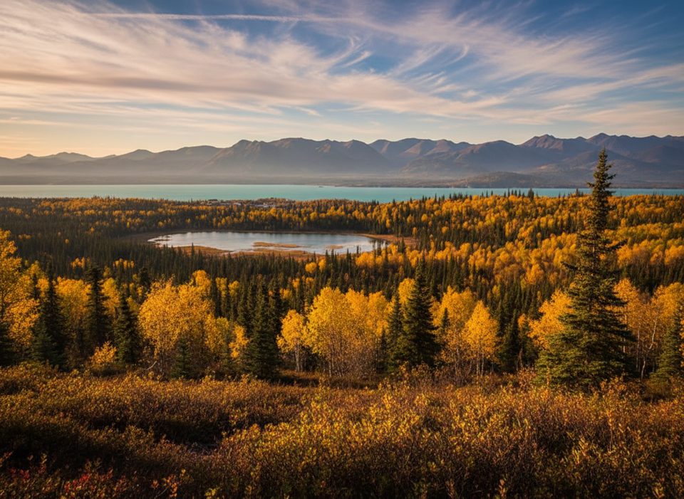
Easy · 33.9 mi away

Parkwolf Tour Guide
