Parking
Use the lower White Moss Common car park south of the A591, postcode LA22 9SE; dedicated disabled spaces are available. Toilets with baby changing are about 40 m from the car park, and buses 555 and 599 serve the A591.
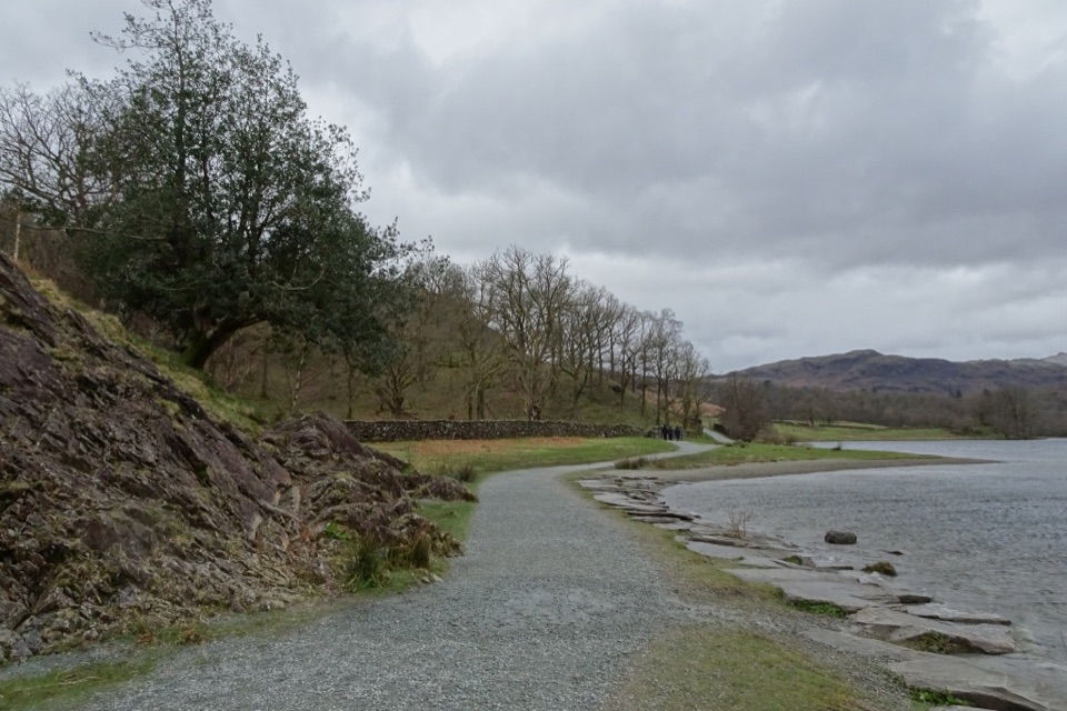
Lake District National Park, EN
Easy riverside out-and-back to Rydal Water with an accessible footbridge
Overview
An out-and-back walk of 2.4 miles in total, with a typical time of around one hour. It starts and finishes at the lower White Moss Common car park and turns back at Steps End on the shore of Rydal Water.
Map & elevation
Plan your hike

The highest, rockiest slopes around here are a summer buffet for grizzly bears.
Lake District Tour Guide
Parkwolf is a GPS audio tour guide for Lake District National Park. As you drive, it chimes in with what’s ahead: hidden gems, upcoming stops, history, geology, and wildlife, right through your car’s speakers.
Recorded for this trailhead
Rydal Water and Cave from White Moss“You're approaching White Moss, the starting area for walks beside Rydal Water and up to Rydal Cave.”
Plays as you drive up to this trailhead in the Parkwolf Lake District Tour Guide.
More stories near here in the app
“Fantastic app with many points of information… It’s great to just turn on while you’re driving and it gives you an audio tour of the national Park. We love it!!!!”


Trail guide
From the lower car park, follow the path to the River Rothay footbridge and cross at White Moss Bridge. The route then climbs through a steep wood before easing out at Jobson's Close and joining the shore path along Rydal Water. Continue to Steps End, then retrace the same way back to the bridge and car park.
The official grade is "For some". The wood section is steep with uneven, gravelly ground, and there is one small ford plus three small stream crossings. Only class 2 or 3 mobility scooters are suitable for the full route. The bridge itself is accessible for wheelchairs and pushchairs, so it works as a short there-and-back objective on its own.
Ducks, dippers and herons are all possible along the river and lake. Bluebells appear in the woodland in spring. From the shore path there are views towards Nab Scar and Loughrigg Fell, and the open ground by Rydal Water makes a good picnic stop. Bring a lens or camera setting suited to both shaded woodland and open water.
Parking is at LA22 9SE, south of the A591, with disabled spaces. Toilets with baby changing are about 40 m from the car park. Buses 555 and 599 run along the A591.
Dogs may use the public route. Keep them under close control or on a short lead near common land and livestock.
A circuit taking in Rydal Cave and Loughrigg Fell is a separate, harder outing rather than an extension of this walk. Plan for more distance, more climbing and rougher ground if you choose it.
Wildlife
 81 sightingsRed DeerMost seen around 7 PMSighting map
 13 sightingsEurasian OtterMost seen around 6 AMSighting map
 76 sightingsOspreyMost seen around 8 AMSighting map
 51 sightingsEuropean BadgerMost seen around 8 PMSighting map
 233 sightingsMute SwanMost seen around 6 PMSighting map
 176 sightingsGrey HeronMost seen around 7 AMSighting map
Sighting maps show where each species has been reported across Lake District. Wildlife moves, so no sighting is guaranteed.
Keep exploring
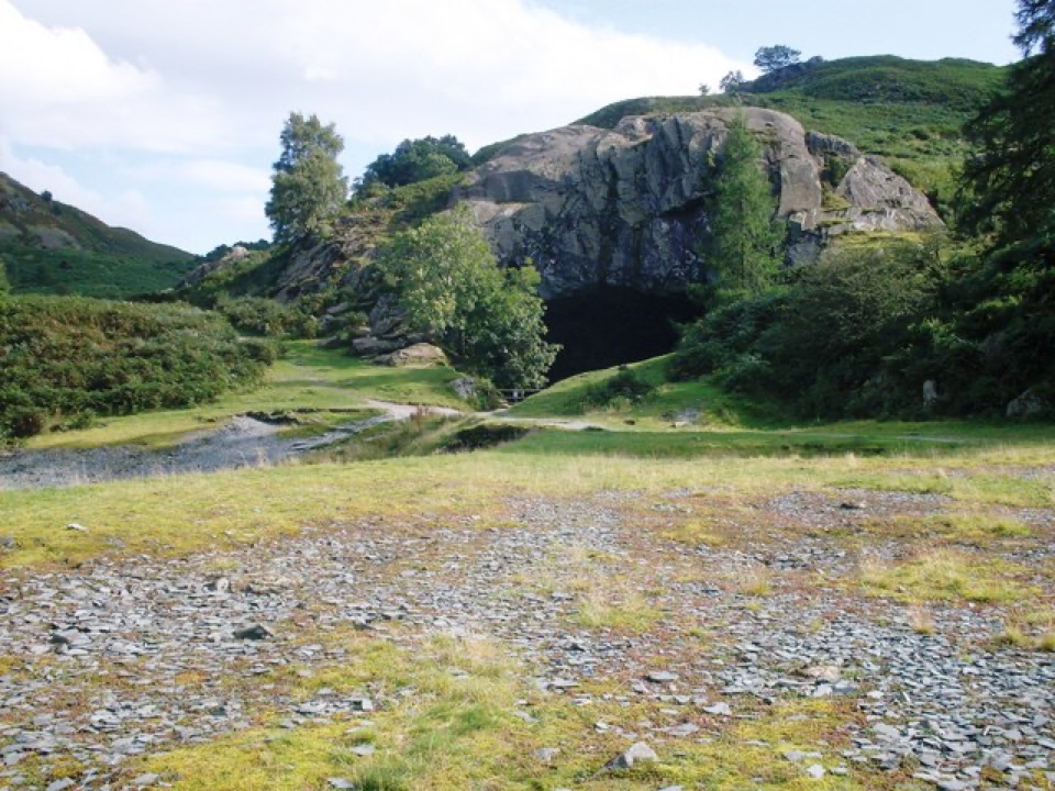 EasyRydal Water and Caves Circular5.1 km · 1.8 hr · At the trailheadLakeshore woods, stepping stones and a quarried cave above the water
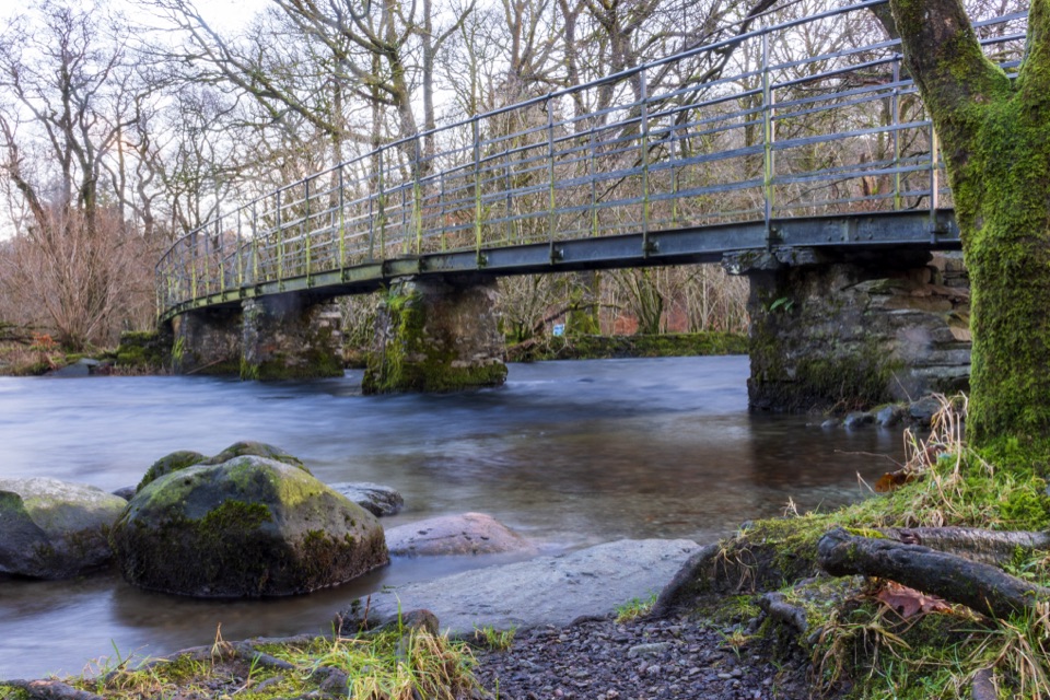 EasyWhite Moss Common1.1 km · 30 min · 0.2 km awayAn easy riverside walk through meadow, woodland, and bluebell country
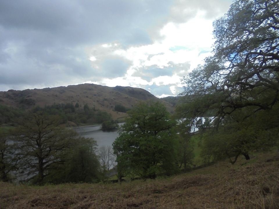 ModerateGrasmere and Rydal Water Circular9.7 km · 3 hr · 1.3 km awayTwo lakeshores and an old coffin path linked in one easy loop
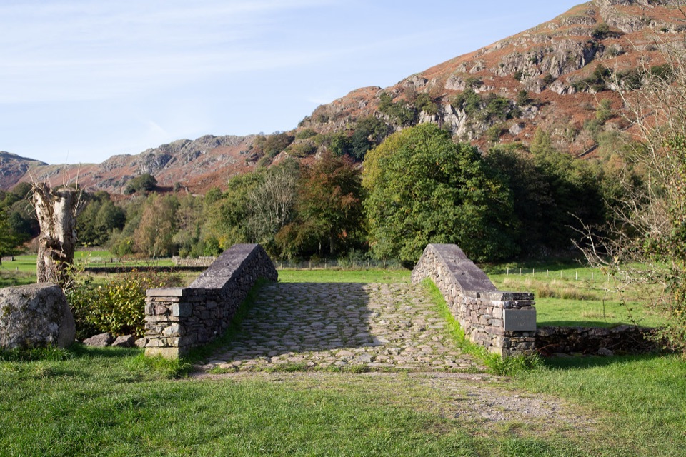 ModerateFeel the Force Audio Trail4.8 km · 2 hr · 1.3 km awayVillage streets to medieval mill ruins beside Easedale Beck
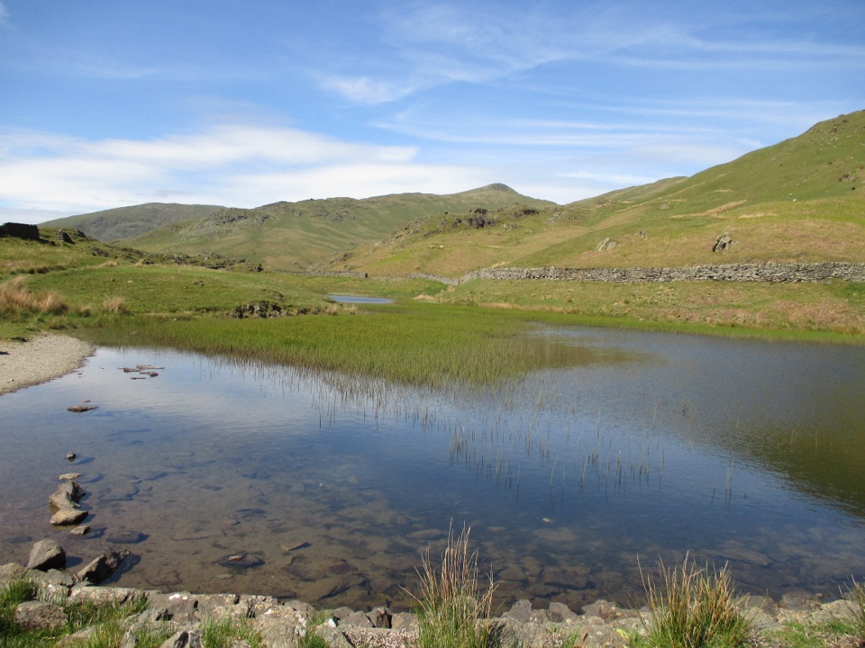 ModerateNab Scar and Alcock Tarn6.6 km · 3.3 hr · 1.4 km awayA steep fell loop pairing Nab Scar views with a quiet tarn
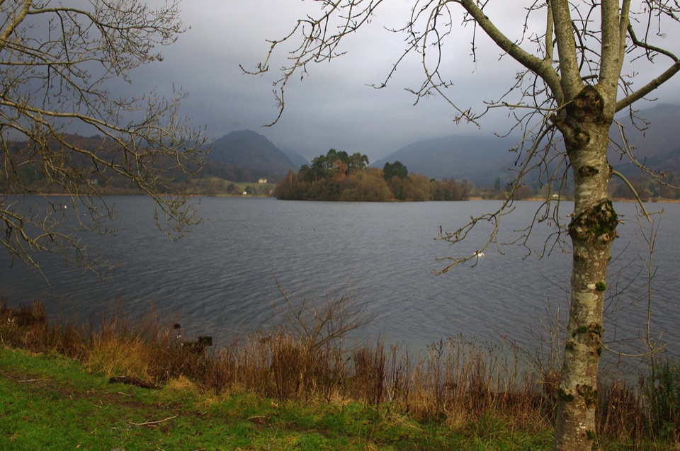 EasyGrasmere Lake Circular6 km · 1.8 hr · 1.5 km awayCoffin Route, riverside meadows and a full lakeshore in under two hours
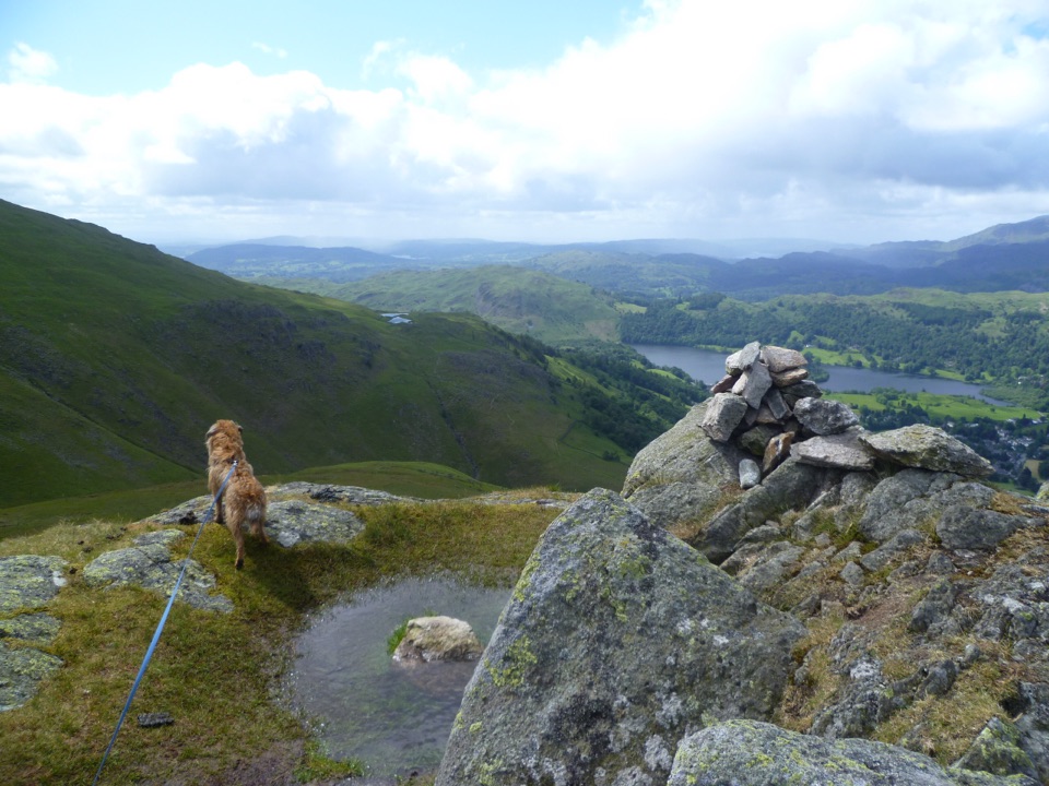 ChallengingStone Arthur, Great Rigg, Heron Pike and Nab Scar12.6 km · 5.5 hr · 1.6 km awayFour summits, Alcock Tarn, and a rough ridge above Grasmere
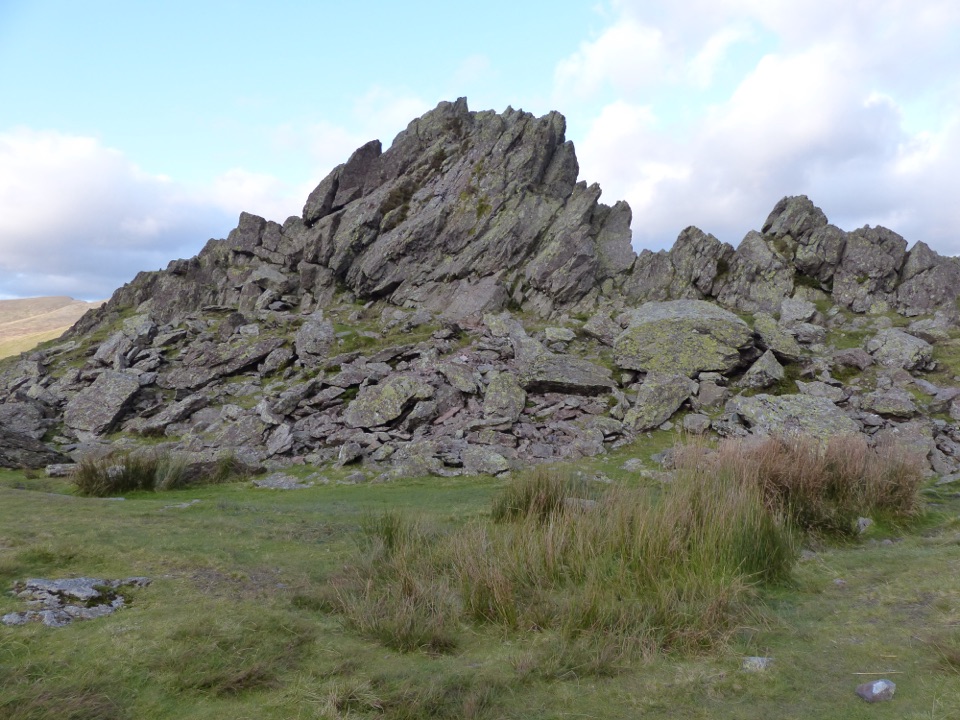 ModerateHelm Crag6.4 km · 3 hr · 1.6 km awaySteep stepped climb to the Lion and the Lamb above Grasmere
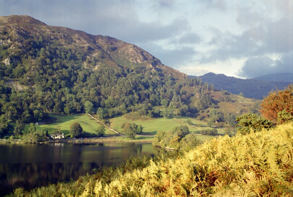 Sight · 0.7 km awayRydal WaterSmall lake, big reflections beneath Loughrigg Fell
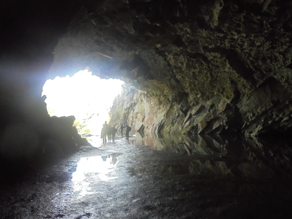 Sight · 0.9 km awayRydal CaveA former slate quarry opens onto water, stone, and fell views
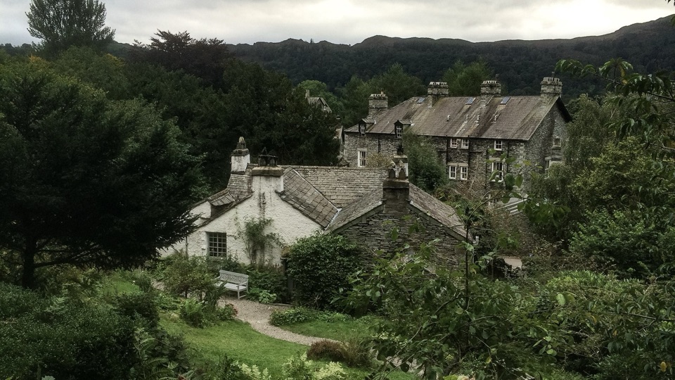 Sight · 1 km awayWordsworth GrasmereA poet's cottage, living garden, manuscripts, and wide valley views
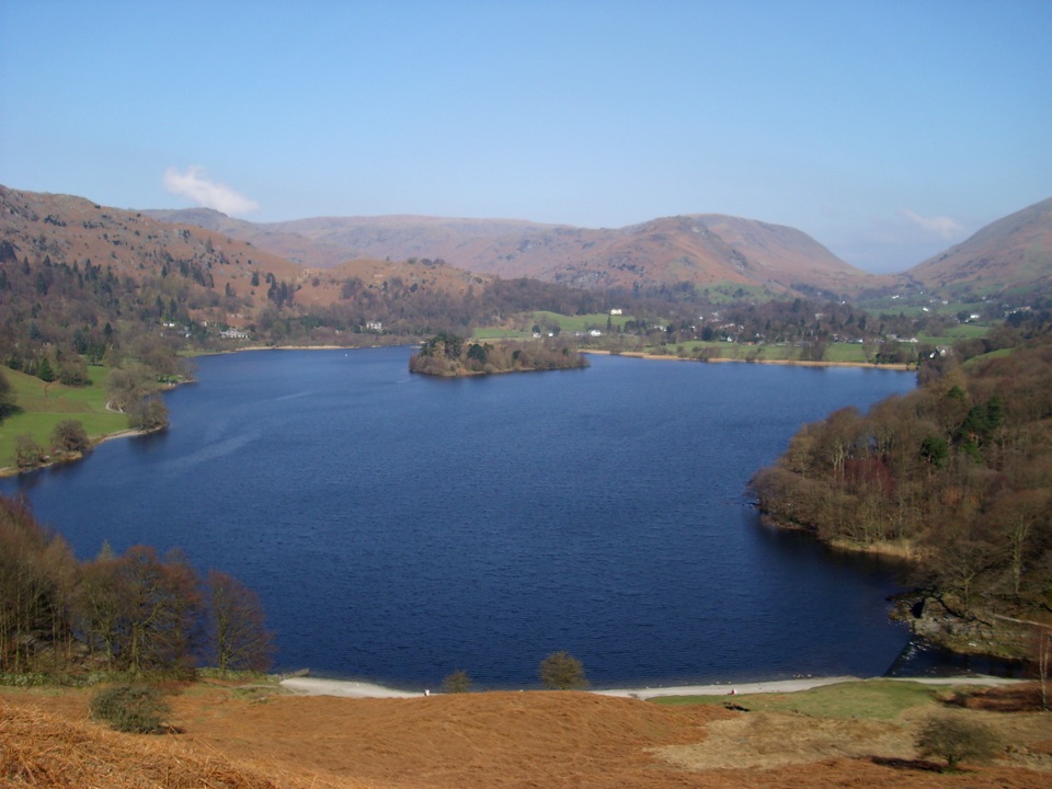 Sight · 1.2 km awayGrasmereA peaceful lake loop beneath the central Lake District fells
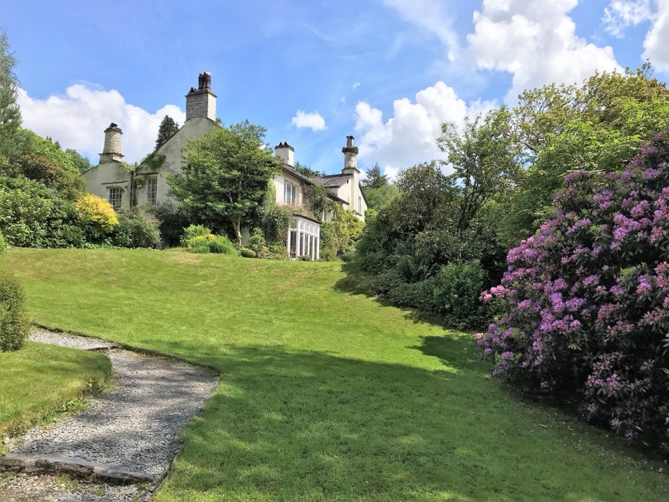 Sight · 1.4 km awayRydal MountWordsworth's final home, wrapped in five acres of garden and paths
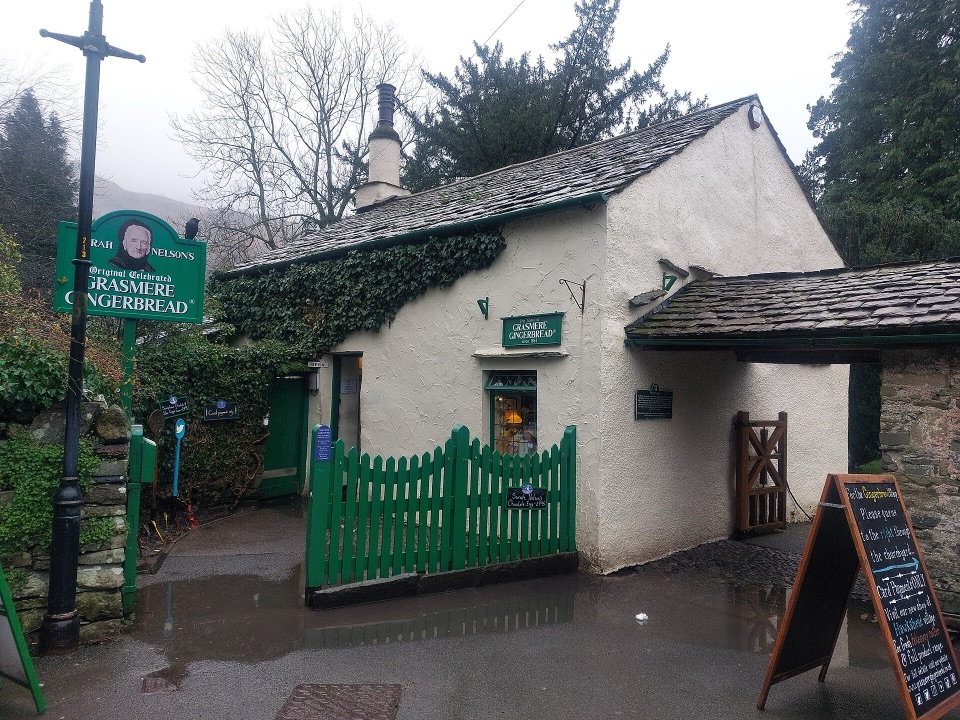 Store · 1.6 km awayGrasmere Gingerbread ShopA 1630 cottage where fresh gingerbread still draws a daily queue
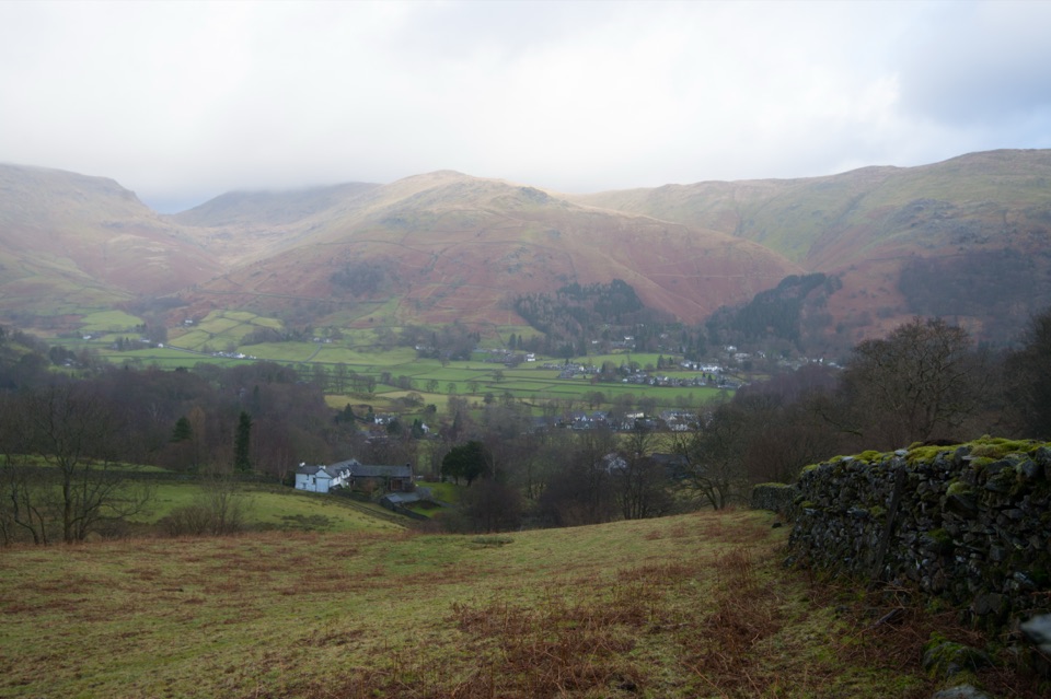 Sight · 1.7 km awayGrasmere VillageA slate-roofed fell village with Wordsworth, gingerbread, and walks
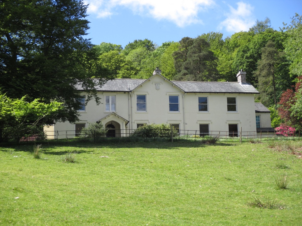 Sight · 2 km awayAllan BankWordsworth's villa pairs red squirrels with Grasmere views and woodland
Parkwolf’s Lake District ranking

The audio tour guide for the drive, plus offline maps, trails, and wildlife heatmaps for when the signal drops.





