Parking
Start at Rydal Road Car Park in Ambleside, 1-3 Rydal Road, LA22 9AN, just off the A591. Walk into town toward Kirkstone Road and Nook Lane to join the circuit.

#6 of 265 trails in Lake District
Lake District National Park, EN
Eight Wainwright tops in one long, exposed ridge loop above Ambleside
Overview
Map & elevation
Plan your hike

The highest, rockiest slopes around here are a summer buffet for grizzly bears.
Lake District Tour Guide
Parkwolf is a GPS audio tour guide for Lake District National Park. As you drive, it chimes in with what’s ahead: hidden gems, upcoming stops, history, geology, and wildlife, right through your car’s speakers.
Recorded for this trailhead
Ambleside: Fairfield or Loughrigg“Up ahead is Ambleside's Rydal Road parking area, the starting point for the Fairfield Horseshoe and a shorter circuit over Loughrigg Fell.”
Plays as you drive up to this trailhead in the Parkwolf Lake District Tour Guide.
More stories near here in the app
“Fantastic app with many points of information… It’s great to just turn on while you’re driving and it gives you an audio tour of the national Park. We love it!!!!”


Trail guide
A closed loop of 10.7 miles (17.18 km) with roughly 950m of ascent, starting and finishing in Ambleside. Most people take 6 to 8 hours, with about 7 as a fair planning figure. This is the standard classic horseshoe, which does not include Stone Arthur or the greater variant.
From Rydal Road Car Park you head out via Kirkstone Road, Nook Lane and Nook End Farm, cross Low Sweden Bridge, then climb the eastern arm over Low Pike, High Pike, Dove Crag and Hart Crag. From Link Hause you gain Fairfield itself, then swing south down the western arm over Great Rigg, Heron Pike and Nab Scar, dropping through Rydal Hall and returning by Scandale Bridge into Ambleside.
Eight Wainwright summits in one continuous walk: Low Pike, High Pike, Dove Crag, Hart Crag, Fairfield, Great Rigg, Heron Pike and Nab Scar. The reward is broad ridge walking with views over Windermere, Rydal and the central fells, with the sense of the horseshoe closing around you as you come down the far arm.
Rate it hard, around 8 out of 10. The ascent is long and sustained rather than technical, but the ground demands attention. Footing varies from rough rock and boulders to boggy going between Low Pike and High Pike, with a few short scrambly steps and several ladder stiles. The high ground is genuinely exposed ridge, and conditions on Fairfield can turn serious. The summit plateau is broad and featureless, so in mist you need map, compass and the confidence to use them; do not rely on following worn paths near the top.
Start from Rydal Road Car Park, Ambleside, LA22 9AN, just off the A591. The route follows public footpaths and open fell paths, and no route-specific permit was found. Ordinary dogs are allowed, but the ladder stiles are awkward for them and there is grazing livestock including cattle, so keep dogs under close control and on a lead near animals. No reliable on-route drinking-water source was established, so carry water from Ambleside.
Clear conditions give the best ridge and lake views, and the open tops between High Pike and Great Rigg are the strongest photographic section of the walk.
Published lengths for this walk range from about 16.4 to 17.9 km because of route variants and differences in how the line is drawn. The standard track is 17.18 km, so treat shorter figures with care when you plan your day.
Wildlife
 81 sightingsRed DeerMost seen around 7 PMSighting map
 13 sightingsEurasian OtterMost seen around 6 AMSighting map
 76 sightingsOspreyMost seen around 8 AMSighting map
 51 sightingsEuropean BadgerMost seen around 8 PMSighting map
 233 sightingsMute SwanMost seen around 6 PMSighting map
 176 sightingsGrey HeronMost seen around 7 AMSighting map
Sighting maps show where each species has been reported across Lake District. Wildlife moves, so no sighting is guaranteed.
Keep exploring
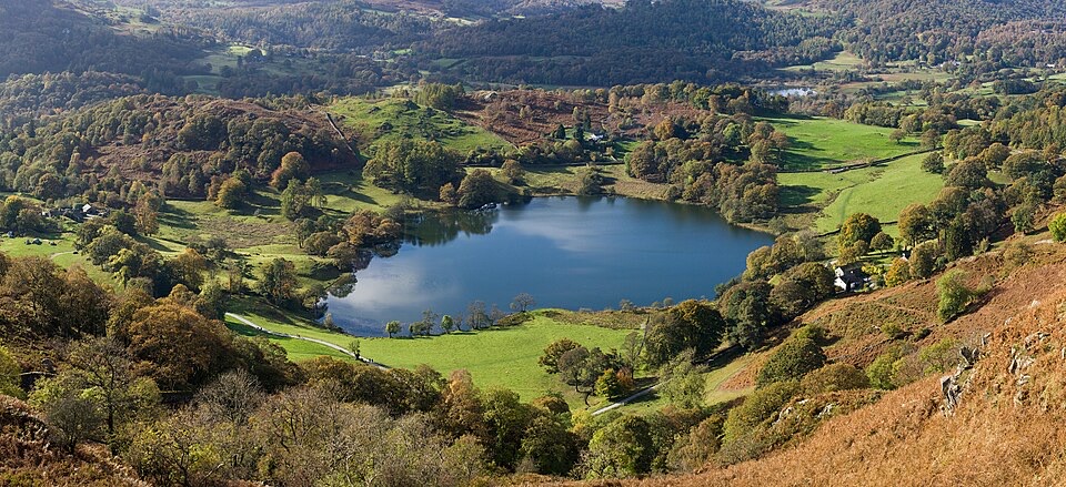 ModerateLoughrigg Fell Circular12.4 km · 4 hr · At the trailheadTarn, quarry cave and three-lake views on a compact Ambleside loop
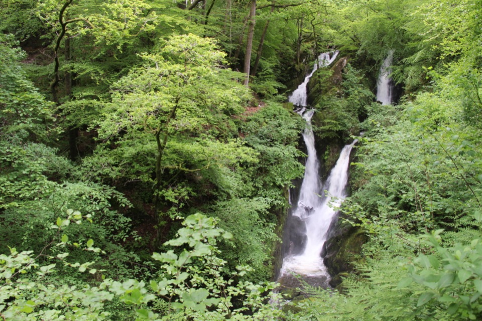 EasyStock Ghyll Force Waterfall Walk1.8 km · 45 min · 0.2 km awayA short wooded climb from Ambleside to a 70-foot gorge waterfall
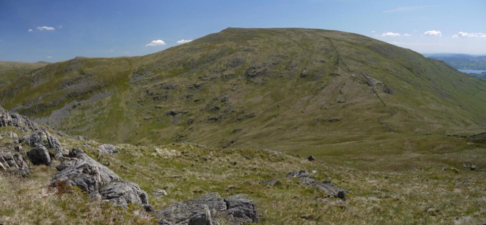 ChallengingRed Screes and Middle Dodd from Ambleside14.2 km · 5 hr · 0.2 km awayA tough two-top circuit with red scree, bog and a summit tarn
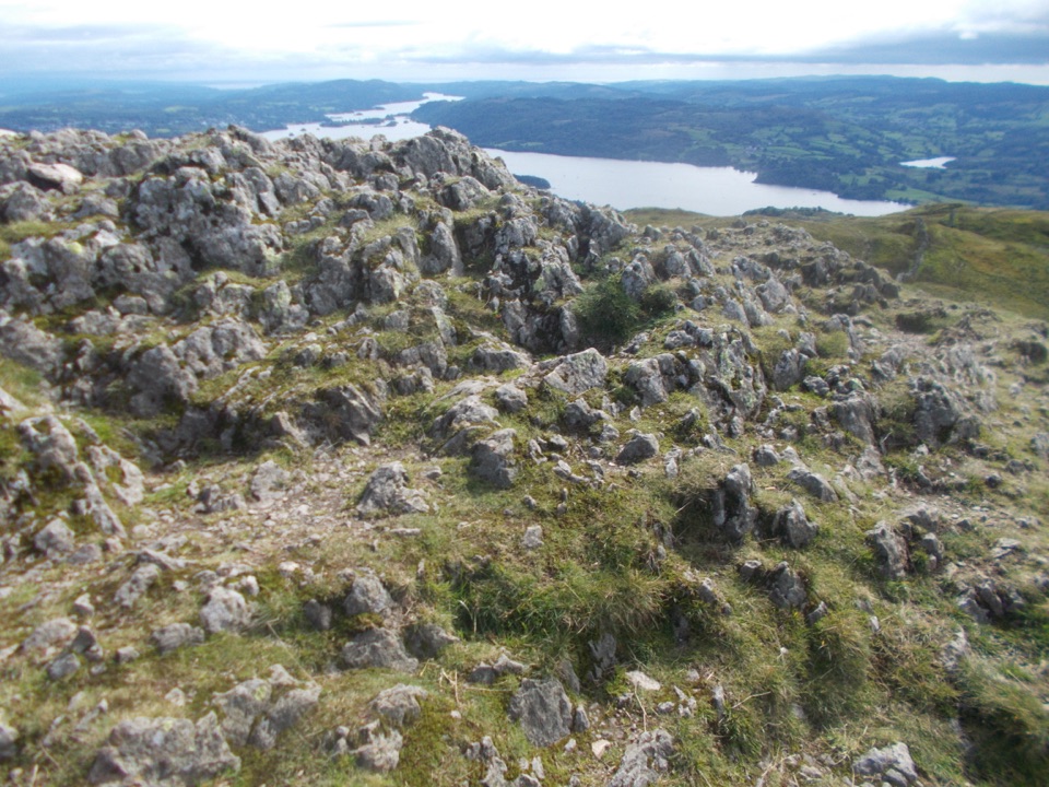 ModerateAmbleside to Troutbeck Walk10.7 km · 4.5 hr · 0.2 km awayClimb pitched steps to a Windermere panorama, then loop through Troutbeck
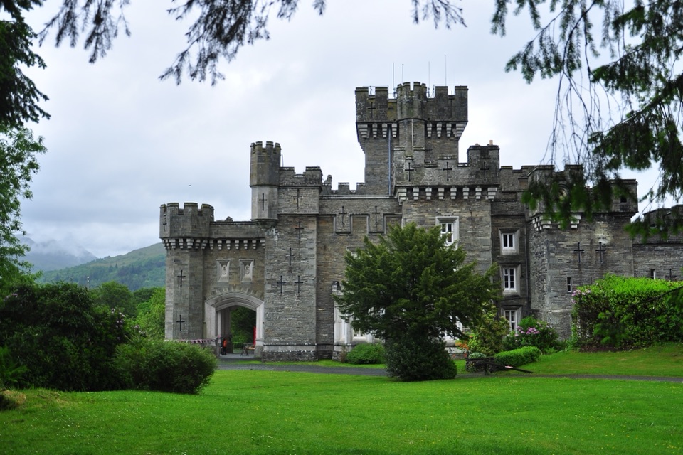 ModerateClappersgate to Wray Castle8.2 km · 2.8 hr · 1.5 km awayA gentle lakeside walk through woodland to a mock-Gothic castle.
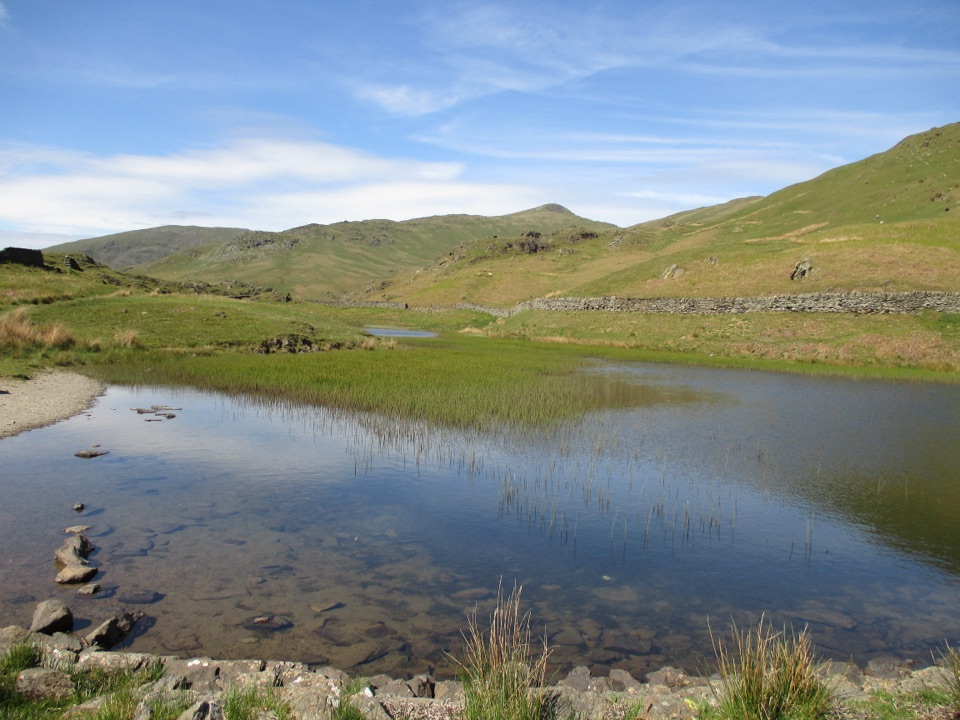 ModerateNab Scar and Alcock Tarn6.6 km · 3.3 hr · 1.9 km awayA steep fell loop pairing Nab Scar views with a quiet tarn
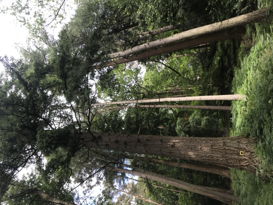 EasyAmbleside Champion Tree Trail1.3 km · 45 min · 1.9 km awayShort woodland loop past some of England's tallest champion trees
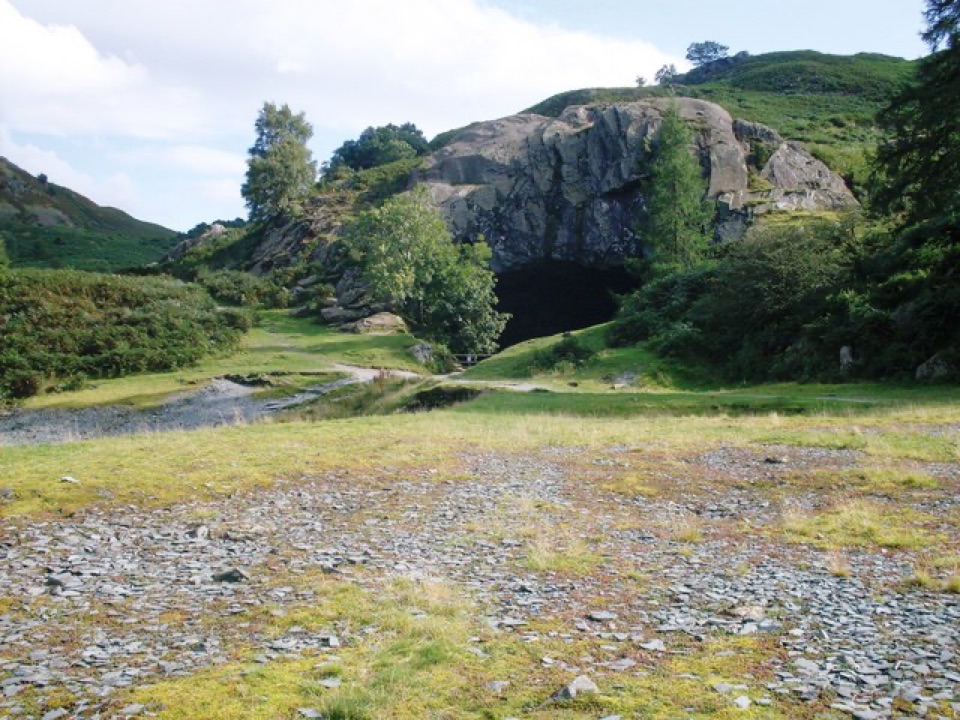 EasyRydal Water and Caves Circular5.1 km · 1.8 hr · 3.1 km awayLakeshore woods, stepping stones and a quarried cave above the water
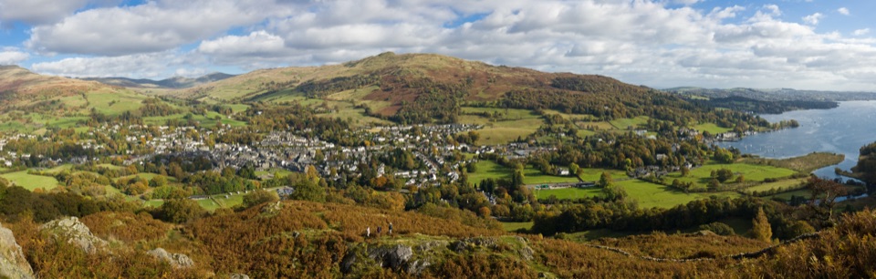 Sight · 0.3 km awayAmblesideOutdoor shops and old slate streets, with Windermere a mile away
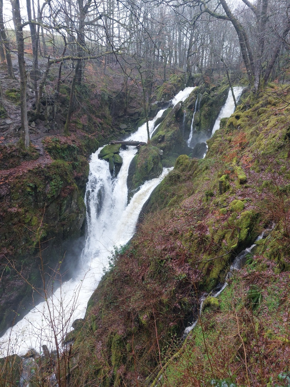 Sight · 0.9 km awayStock Ghyll ForceA short woodland walk to a 70-foot cascade above Ambleside
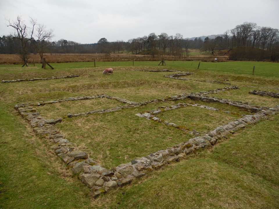 Sight · 1.4 km awayAmbleside Roman FortLow stone foundations make a Roman garrison surprisingly legible
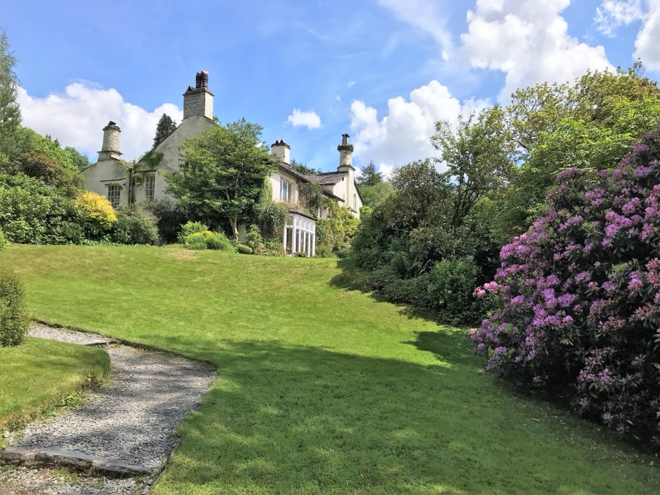 Sight · 2 km awayRydal MountWordsworth's final home, wrapped in five acres of garden and paths
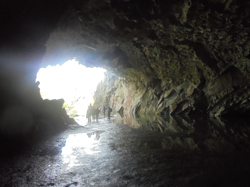 Sight · 2.3 km awayRydal CaveA former slate quarry opens onto water, stone, and fell views
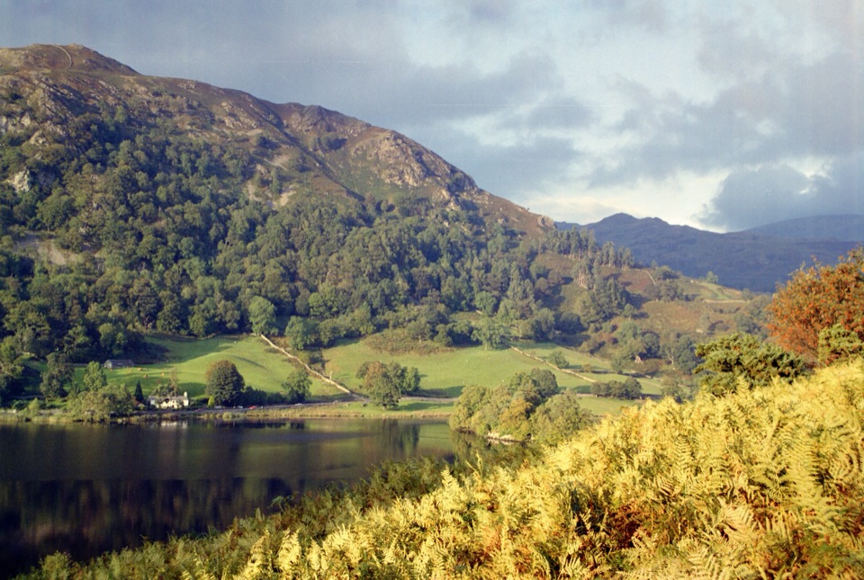 Sight · 2.4 km awayRydal WaterSmall lake, big reflections beneath Loughrigg Fell
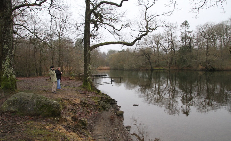 Campground · 3.2 km awayLow Wray CampsiteLakeside camping beside Windermere, with Wray Castle next doorSight · 3.7 km awayWray CastleA turreted lakeshore estate tied to Beatrix Potter's first visit
Parkwolf’s Lake District ranking
 Scafell Pike via Hollow Stones from WasdaleChallenging · 9 km
 Helvellyn via Striding Edge and Swirral EdgeChallenging · 12.4 km
 CatbellsModerate · 6.6 km
 The Old Man of ConistonChallenging · 9 km
 Buttermere CircularEasy · 7.6 km
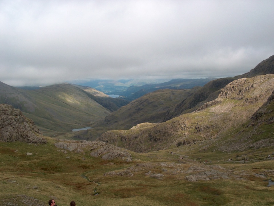 Scafell Pike from Seathwaite via the Corridor RouteChallenging · 15.1 km
The audio tour guide for the drive, plus offline maps, trails, and wildlife heatmaps for when the signal drops.