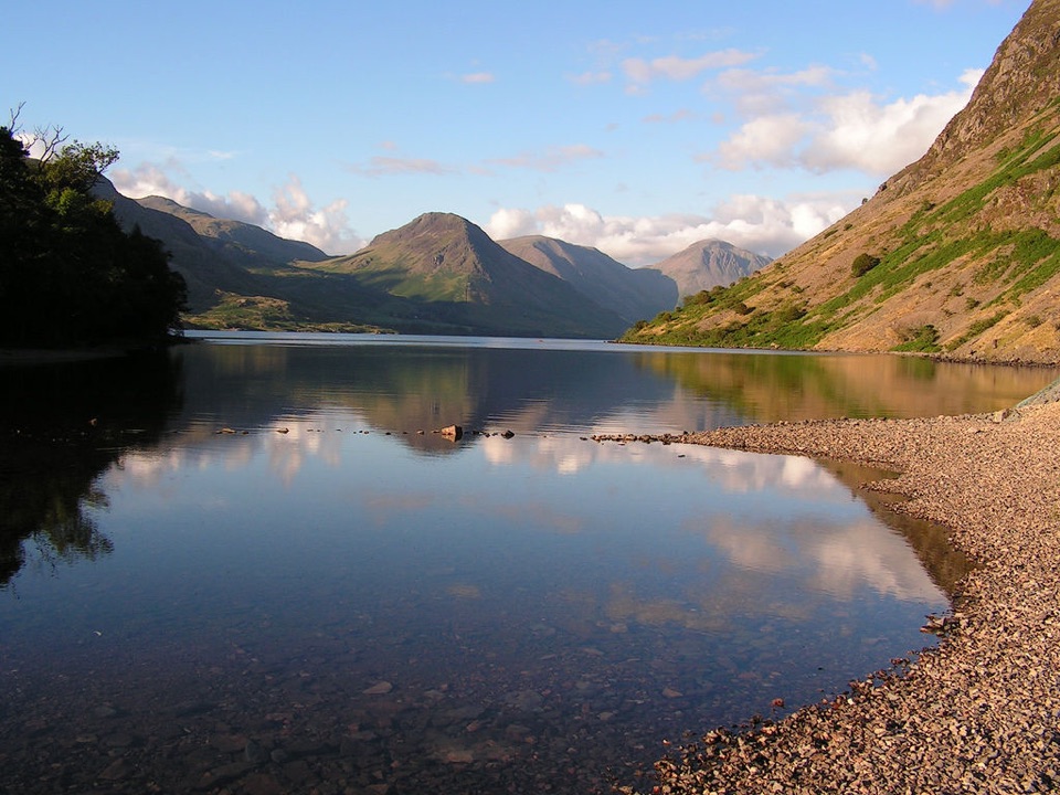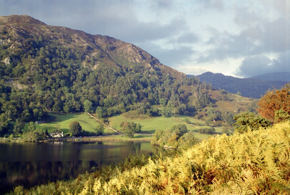
Rydal Water in Lake District National Park

Sight · Lake District National Park

Rydal Water

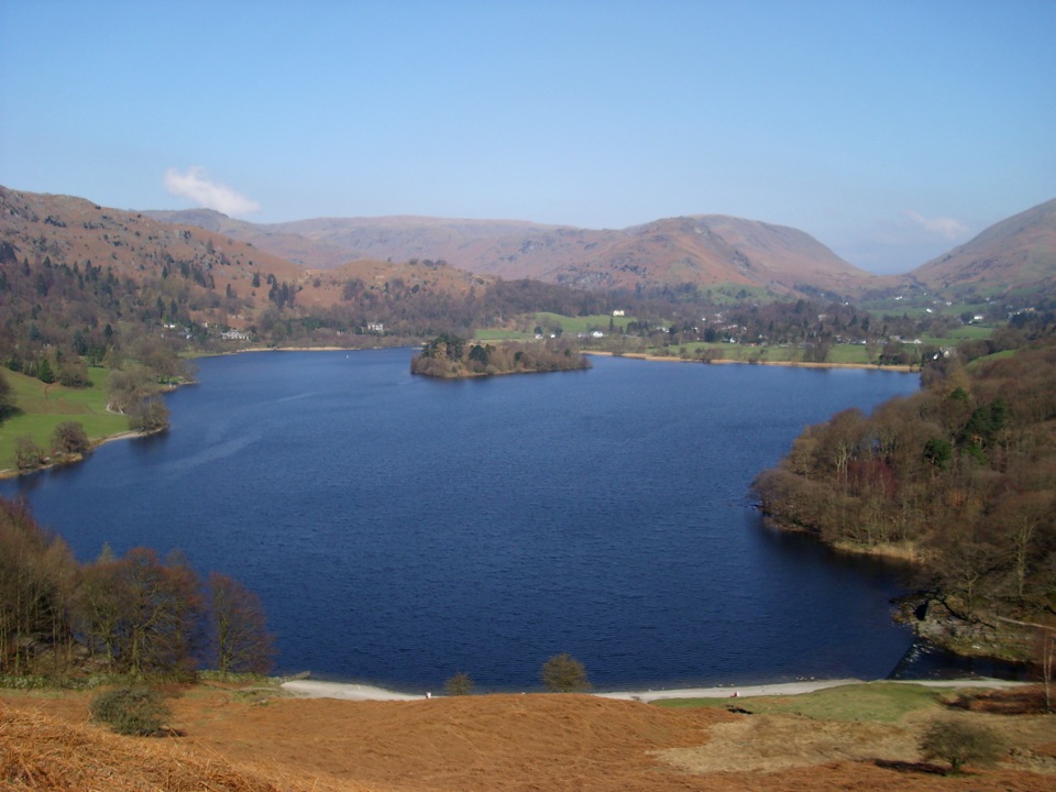
Small lake, big reflections beneath Loughrigg Fell

Photo: Wikimedia Commons
Type
Sight
Nearest trail
0.6 km
Audio stories
11 nearby
  • Scenic viewpoint
  • Parking
  • Restrooms
  • #22 of 80 sights

Hear the audio tour

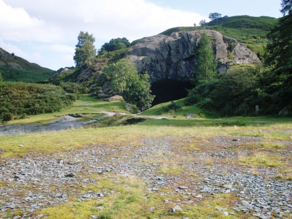
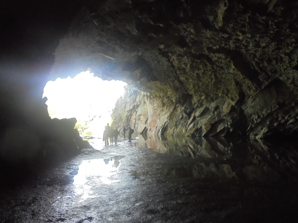
Rydal Water and Cave from White Moss

Overview

About Rydal Water

Why stop

  • Big Loughrigg reflections from a compact lakeshore walk
  • Easy to pair with Grasmere and Wordsworth sites

Heads up

  • Popular paths lose their quiet feel on sunny days
  • Several approaches include steep slopes or shallow fords
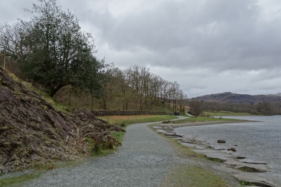
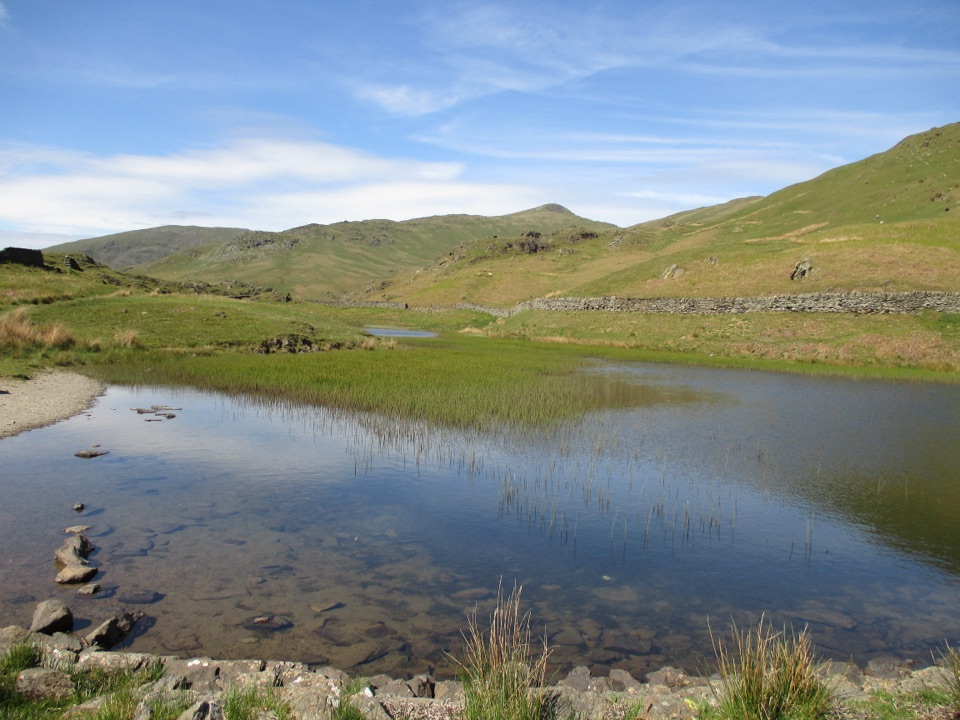
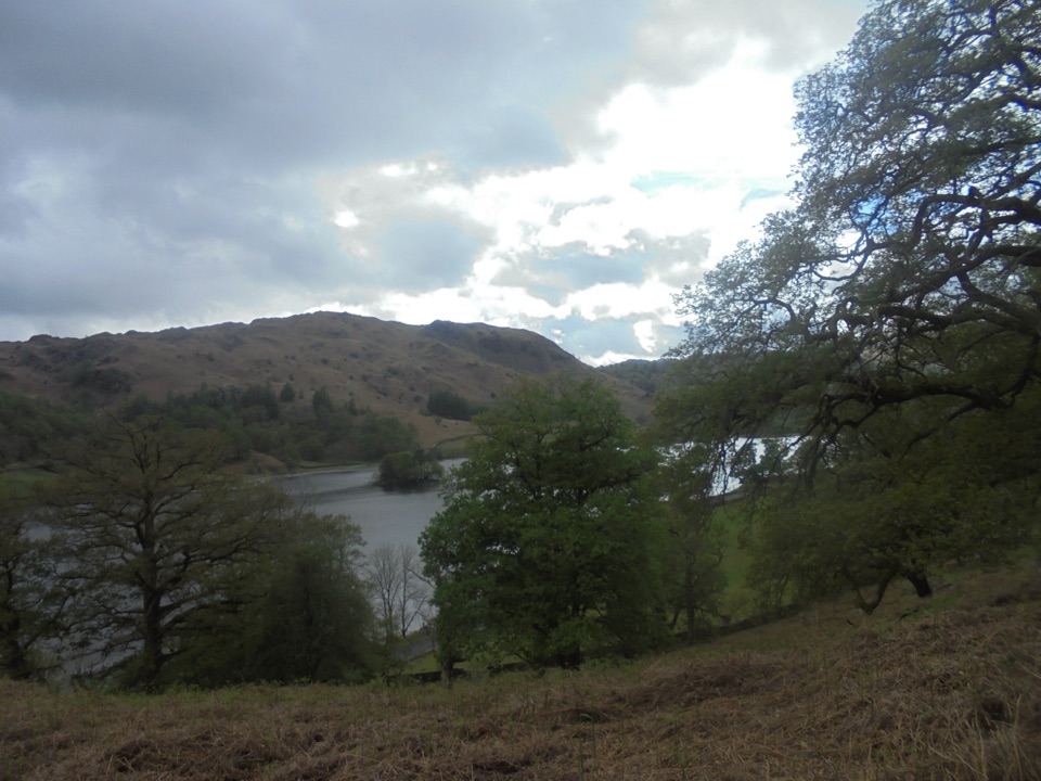
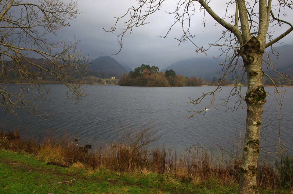
Rydal Water is a small, intimate lake between Ambleside and Grasmere, tucked beneath Loughrigg Fell. The appeal is close at hand: wooded shorelines, open water, and changing reflections rather than a single grand viewpoint. The River Rothay links Rydal Water with Grasmere, and the lake is closely tied to William Wordsworth. At the western end, Wordsworth's Seat is a natural rocky outcrop traditionally associated with the poet.
Parkwolf’s verdictWhy stop

Map

Where it is

Loading the Lake District map
Full map
SightRydal Water54.44722, -2.99464
Keep this map with you offline in the Parkwolf app

Plan your stop

Before you go

Best time to go

Rydal is popular throughout the year and feels busiest on sunny weekends and warm summer days. Go early or later in the day for a quieter walk and softer light on the water; calm weather gives the best reflections. Bring shoes with good grip, water, and an extra layer. Use the signed car park at White Moss Common or approach from Pelter Bridge rather than navigating to the middle of the lake. Toilets with baby-changing facilities are available about 40 metres from the White Moss car park, and buses run along the A591. Rydal Water is worth a stop for an easy lake-and-woodland walk, but it is not a secluded secret on a bright day.


8 active Lake District alerts

  • ClosureChapel Stile footpath closed for retaining-wall riskPart of Footpath 543030 between Chapel Stile and Baysbrown campsite is closed because a retaining wall beside the path could collapse and material it supports could fall across the footpath.Official details
  • ClosureStanley Ghyll Lower Falls footpath closed for rockfallThe section of Footpath 408037 leading towards Stanley Ghyll Lower Falls is closed because severe rockfall damage has made the path unstable and further rockfall remains a danger.Official details
See all 8 alerts
A park ranger sits on a dash-mounted phone, talking, as Parkwolf’s Tour Guide plays “Army Cutworm Moths: A Grizzly Bear Buffet” on Grand Loop Road below Dunraven Pass in Yellowstone
Parkwolf Tour GuideThe highest, rockiest slopes around here are a summer buffet for grizzly bears.

Lake District Tour Guide

Your drive to Rydal Water, narrated.

Parkwolf is a GPS audio tour guide for Lake District National Park. As you drive, it chimes in with what’s ahead: hidden gems, upcoming stops, history, geology, and wildlife, right through your car’s speakers.

Recorded for this place

Rydal Water and Cave from White Moss
0:00 / 1:19
“You're approaching White Moss, the starting area for walks beside Rydal Water and up to Rydal Cave.”

Plays as you drive up to Rydal Water in the Parkwolf Lake District Tour Guide.

More stories near here in the app

  • Rydal Mount: Garden and Fell Walk
  • Wordsworth Grasmere: Inside Dove Cottage
  • Ambleside: Fairfield or Loughrigg
  • Grasmere: Riverside, Gingerbread and Lake
  • 298 audio storiesacross Lake District’s roads, triggered by GPS as you drive
  • Wildlife heatmapsfor Red Deer, Eurasian Otter, Osprey, and 13 more
  • Works offlinemaps, 265 trails, 89 places, and audio download before you lose signal
  • CarPlay readysimple controls built for the drive
★★★★★
“Fantastic app with many points of information… It’s great to just turn on while you’re driving and it gives you an audio tour of the national Park. We love it!!!!”
JMJamesApp Store review
Download Parkwolf on the App StoreGet Parkwolf on Google Play

4.7 from 8,600+ ratings

Guide

More about Rydal Water

Walking the shoreThe most practical access is from White Moss Common, south of the A591.

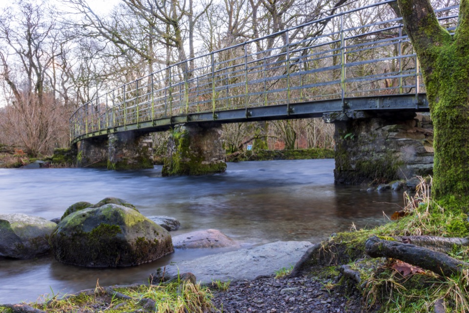
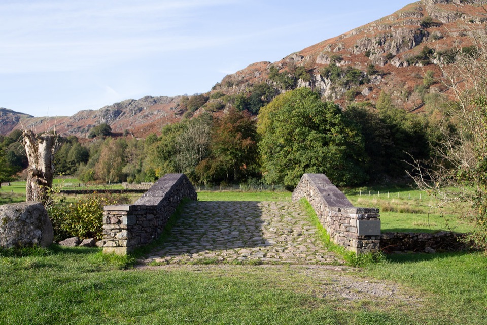
The most practical access is from White Moss Common, south of the A591. The maintained route to Steps End is about 1.5 km each way, crossing footbridges and passing through woodland before reaching the lakeshore at Jobson's Close. It is a good short outing, but not completely flat or effortless: there are steep sections, several shallow stream fords, and wet ground after rain. The route includes a newer bridge that is wheelchair and pushchair accessible, although the whole approach still has other constraints. From Pelter Bridge, the approach starts with a steep minor road and a track down to the water.

What you may seeThe River Rothay and surrounding woodland are good places to watch for ducks, dippers, and…

The River Rothay and surrounding woodland are good places to watch for ducks, dippers, and herons. Bluebells can carpet the woods in spring, while nearby Dora's Field is known for spring daffodils. Open-water swimmers use Rydal Water, especially in warmer months. If you swim, treat it as an unpatrolled natural lake and follow the Lake District Swim Safe Code.

Wildlife

Wildlife in Lake District

All Lake District wildlife maps

Sighting maps show where each species has been reported across Lake District. Wildlife moves, so no sighting is guaranteed.

Keep exploring

Near Rydal Water

See it all on the map

Trails nearby

More stops nearby

Parkwolf’s Lake District ranking

Top sights in Lake District

All 89 places
  1. 1WindermereSight
  2. 2Scafell PikeSight
  3. 3UllswaterSight
  4. 4DerwentwaterSight
  5. 5Wast WaterSight
  6. 6Aira ForceSight

Take Parkwolf to Lake District.

The audio tour guide for the drive, plus offline maps, trails, and wildlife heatmaps for when the signal drops.

4.7 from 8,600+ ratings

Download Parkwolf on the App StoreGet Parkwolf on Google Play