Parking
Cat Bells Parking is a small roadside parking area near Hawes End. From the parking access, use the short connector to the cattle grid and signed fell path. Park only in appropriate marked or permitted spaces.

#3 of 265 trails in Lake District
Lake District National Park, EN
Short steep ridge to big Derwent Water views, quiet lakeshore return
Overview
A circular car park to car park route of 4.1 miles from Cat Bells Parking near Hawes End, including the short connector between the parking area and the fell path. Most walkers take about 3 hours. It is rated moderate, with a lot of height gained in a short distance and a mapped summit of 451 m.
Map & elevation
Plan your hike

The highest, rockiest slopes around here are a summer buffet for grizzly bears.
Lake District Tour Guide
Parkwolf is a GPS audio tour guide for Lake District National Park. As you drive, it chimes in with what’s ahead: hidden gems, upcoming stops, history, geology, and wildlife, right through your car’s speakers.
Recorded for this trailhead
Cat Bells: Ridge and Lakeshore Loop“You're approaching the starting point for Cat Bells at Hawse End, where a three-hour walk gives you wide views over Derwentwater and the surrounding fells.”
Plays as you drive up to this trailhead in the Parkwolf Lake District Tour Guide.
More stories near here in the app
“Fantastic app with many points of information… It’s great to just turn on while you’re driving and it gives you an audio tour of the national Park. We love it!!!!”


Trail guide
From the parking area the route crosses the cattle grid at the Hawes End access and starts climbing almost at once. A narrow path works up Skelgill Bank, then zigzags to the summit of Catbells. From there it drops south to Hause Gate, turns east down a steep engineered path, and picks up the lower terrace bridleway. That path passes old Brandelhow mine workings before reaching Brandelhow Bay, then follows the wooded Derwent Water shoreline past High and Low Brandelhow and back to Hawes End and the car park.
The climb is the hard part: sustained short steep grades, uneven rocky ground, built steps, and one brief hands-on scramble on the upper ridge. Nothing is technical, but hands come out of pockets, and the uneven rocky ground and steps ask for care on the way down. Boots with grip are worth having, and the descent from Hause Gate is steep enough to feel it in the knees.
The summit and connecting ridge are open, with ground falling away on both sides, so the crossing can feel exposed when wind is up. There is little dependable water along the ridge, so carry what you need for the whole loop.
The ridge and summit give a wide sweep over Derwent Water, Keswick, Borrowdale, the Newlands Valley and the Western Fells. The second half changes character completely, with the grassed-over remains of the Brandelhow mine workings, the bay itself, and shaded woodland walking close to the water for the run back to Hawes End.
Dogs are welcome but should be kept under close control and on a lead anywhere near grazing sheep or cattle, including at the cattle grid and on the open fell. No permit is needed for this ordinary public fell walk.
Walkers wanting more can continue south beyond Hause Gate along the ridge to Maiden Moor and High Spy, which is a longer and harder day than the loop described here.
Wildlife
 81 sightingsRed DeerMost seen around 7 PMSighting map
 13 sightingsEurasian OtterMost seen around 6 AMSighting map
 76 sightingsOspreyMost seen around 8 AMSighting map
 51 sightingsEuropean BadgerMost seen around 8 PMSighting map
 233 sightingsMute SwanMost seen around 6 PMSighting map
 176 sightingsGrey HeronMost seen around 7 AMSighting map
Sighting maps show where each species has been reported across Lake District. Wildlife moves, so no sighting is guaranteed.
Keep exploring
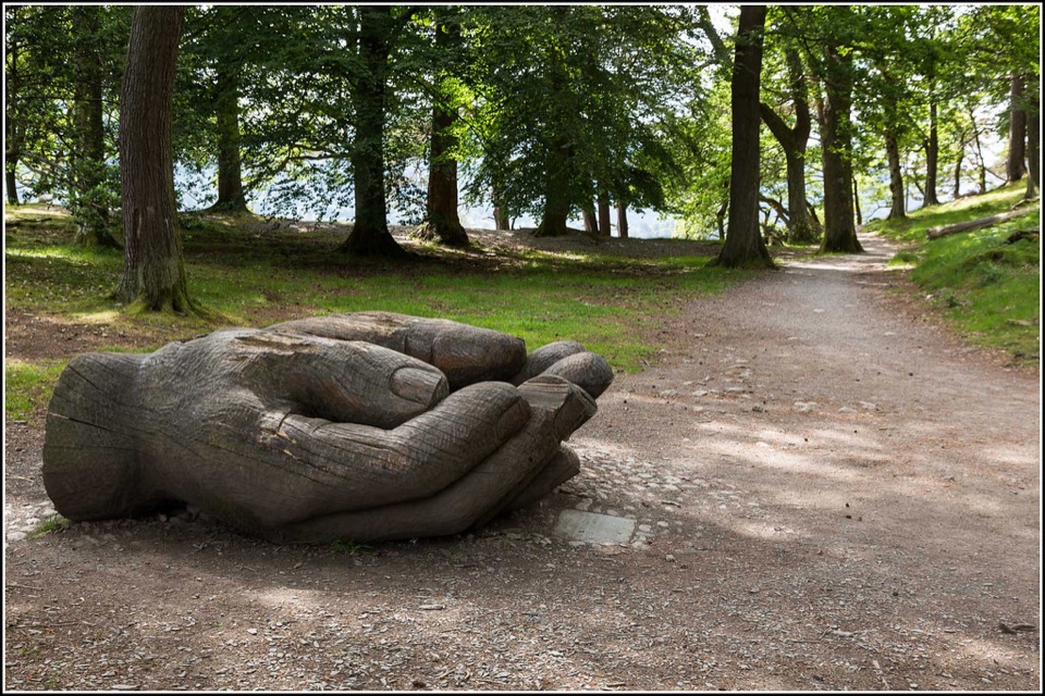 EasyOctavia Hill Walk at Brandelhow Park3.9 km · 1.5 hr · 0.4 km awayA gentle lake loop with jetties, woodland, and a giant carved hand
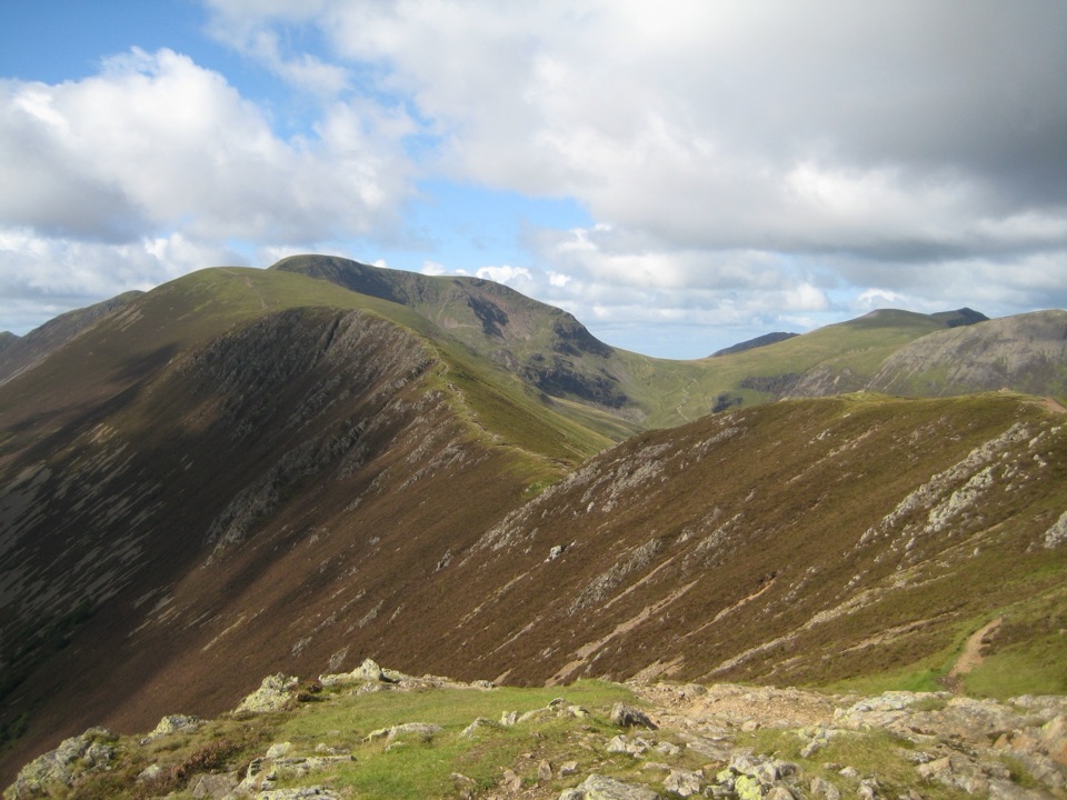 ChallengingCausey Pike and Scar Crags Circular8.2 km · 3.3 hr · 1.5 km awayA rocky ridge scramble with big Newlands and Coledale views
 ChallengingCatbells, Maiden Moor and High Spy16.7 km · 5.5 hr · 1.6 km awayBoat-in fell loop: three summits high above Derwent Water
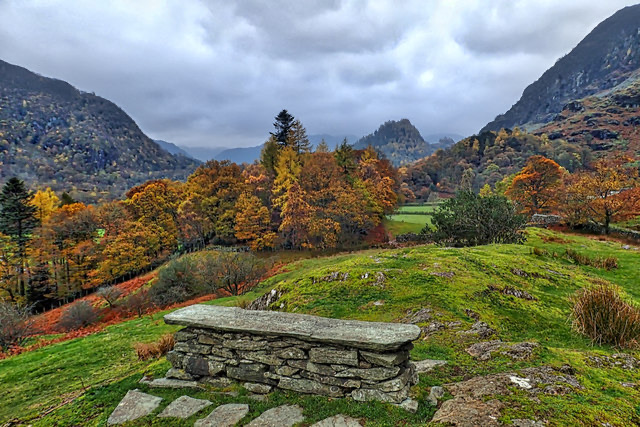 EasyPeace How Walk from High Brandelhow Jetty6 km · 2 hr · 1.6 km awayA quiet lakeshore walk to a slate bench above Derwentwater
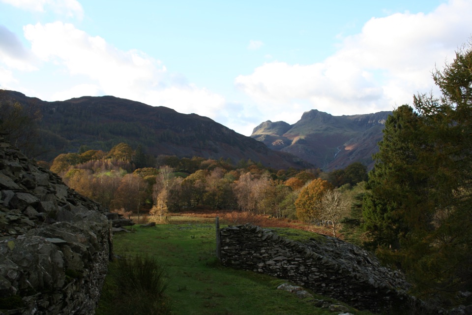 Challenging13 Valleys Trail182.7 km · 2.7 days · 2.3 km awayA huge circuit of lakes, high passes, and all 13 valleys
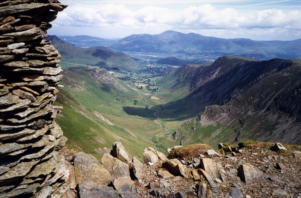 ChallengingNewlands Horseshoe15.1 km · 6 hr · 2.3 km awaySix fell summits and big valley views on a demanding classic
 EasyFriar's Crag1.2 km · 30 min · 2.3 km awayAn easy lakeside stroll to Keswick's signature Derwentwater outlook
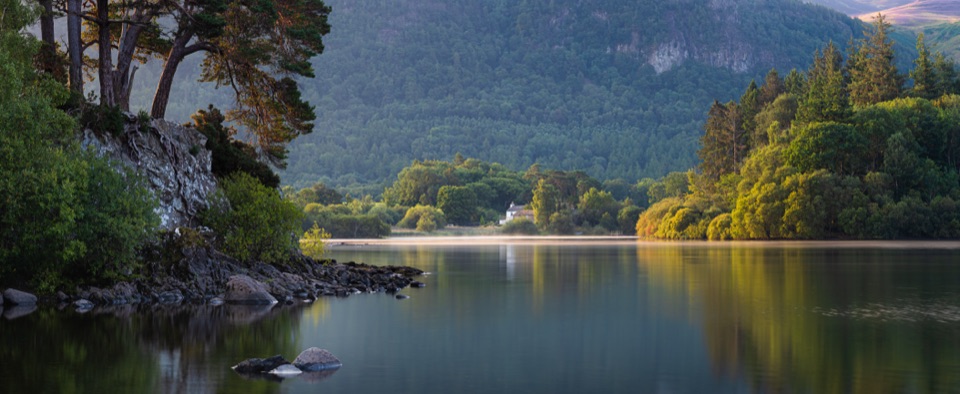 ModerateDerwent Water Circular16.1 km · 5.5 hr · 2.4 km awayTen flat lakeshore miles past jetties, oakwoods and island views
 Sight · 1.3 km awayDerwentwaterA mountain lake with islands, wooded shores, and classic fell viewsSight · 1.5 km awayCat BellsA short rocky climb to a huge Derwentwater panoramaSight · 1.9 km awayFriar's CragA level lakeside path to Keswick's classic Derwentwater view
 Sight · 2.8 km awayAshness BridgeAn 18th-century packhorse bridge above a rushing Borrowdale beck
 Sight · 2.8 km awayKeswickA lively market town framed by Derwentwater and mountain walks
 Sight · 3.1 km awaySurprise ViewA cliff-edge panorama over Derwentwater, islands, and Borrowdale
 Sight · 3.2 km awayLodore FallsA wooded ravine where Watendlath Beck tumbles toward Derwentwater
 Sight · 5 km awayThe Bowder StoneA 2,000-tonne boulder balanced above a woodland path
Parkwolf’s Lake District ranking
 Scafell Pike via Hollow Stones from WasdaleChallenging · 9 km
 Helvellyn via Striding Edge and Swirral EdgeChallenging · 12.4 km
 The Old Man of ConistonChallenging · 9 km
 Buttermere CircularEasy · 7.6 km
 The Fairfield HorseshoeChallenging · 17.2 km
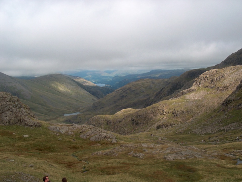 Scafell Pike from Seathwaite via the Corridor RouteChallenging · 15.1 km
The audio tour guide for the drive, plus offline maps, trails, and wildlife heatmaps for when the signal drops.