Parking
Lake District National Park Authority Ruskin Avenue pay-after-stay car park in Coniston, beside the Tourist Information Centre; the GPX route begins a short walk away through the village.

#4 of 265 trails in Lake District
Lake District National Park, EN
Steep mine tracks and stone zigzags to an 803 m summit loop
Overview
Map & elevation
Plan your hike

The highest, rockiest slopes around here are a summer buffet for grizzly bears.
Lake District Tour Guide
Parkwolf is a GPS audio tour guide for Lake District National Park. As you drive, it chimes in with what’s ahead: hidden gems, upcoming stops, history, geology, and wildlife, right through your car’s speakers.
Recorded for this trailhead
Coniston: Old Man and Coppermines“You're approaching Coniston village, a starting point for the Old Man of Coniston and walks into the Coppermines Valley.”
Plays as you drive up to this trailhead in the Parkwolf Lake District Tour Guide.
More stories near here in the app
“Fantastic app with many points of information… It’s great to just turn on while you’re driving and it gives you an audio tour of the national Park. We love it!!!!”


Trail guide
This is a loop, 9.04 km (5.6 miles) in total, measured car park to car park so the walk through the village at each end is already included. Expect around 773 m of ascent and a realistic moving time of at least 3 hours, more if you stop at the mines or on top.
There is nothing technical here, but it is a genuine mountain day. The climb is relentless once you leave the valley, and the ground is rough, stony and broken in places, with boulder and scree sections and slate that gets slick when damp. Upper sections near Low Water can hold ice in winter, which changes the walk from a stiff plod into something that wants proper footwear and confidence on hard snow. Route-finding is basic map reading rather than navigation-heavy, since the mine tracks and stone-pitched zigzags are obvious in clear conditions, but low cloud on the upper fell is where people go wrong.
The Coppermines Valley is the reason this walk feels different from most Lakeland ascents. You pass durable mining remains, ruined buildings and tramway structures for much of the climb, and the industrial scars are as much the point as the summit. Treat them with respect: there are open shafts and levels, unstable ruins and steep crags close to the line of the path. Keep children and dogs close, stay on the trodden ground, and resist the urge to peer into holes.
The top sits at 803 m with a trig point and a view that opens out across Coniston Water and the surrounding fells. On a clear day it is one of the more generous summit panoramas for the effort involved, and the sudden reveal after the zigzags does most of the work.
Dogs are allowed on the footpaths and bridleways used by this route, but they must be under close control or on a short lead around livestock and other walkers. Start from the Ruskin Avenue pay after stay car park in Coniston, next to the Tourist Information Centre; the route proper begins roughly 150 m from the parking area, so you are walking almost immediately.
A longer variant of about 11.5 km (7.1 miles) with roughly 800 m of ascent and around 5 hours of walking uses the Walna Scar gate access and takes in more of the corries and broad ridges. There are also separate routes linking the summit with Dow Crag, Goat's Water and Swirl How. Those are different walks with different demands, so pick one deliberately rather than improvising on the hill.
Wildlife
 81 sightingsRed DeerMost seen around 7 PMSighting map
 13 sightingsEurasian OtterMost seen around 6 AMSighting map
 76 sightingsOspreyMost seen around 8 AMSighting map
 51 sightingsEuropean BadgerMost seen around 8 PMSighting map
 233 sightingsMute SwanMost seen around 6 PMSighting map
 176 sightingsGrey HeronMost seen around 7 AMSighting map
Sighting maps show where each species has been reported across Lake District. Wildlife moves, so no sighting is guaranteed.
Keep exploring
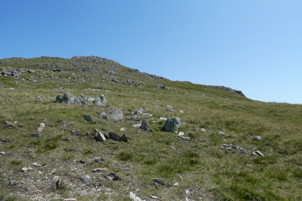 ChallengingWetherlam via Lad Stones Ridge and Black Sails12.2 km · 5.5 hr · At the trailheadRocky ridges, a Wainwright summit, and copper-mine relics above Coniston
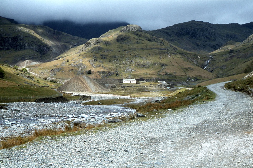 EasyIntroducing Coppermines Valley4 km · 2 hr · At the trailheadClimb past miners' cottages and slag heaps into a copper mining valley
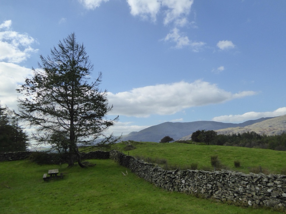 EasyConiston to High Cross4.5 km · 2 hr · 0.1 km awayClimb gravel bridleways from Coniston village to the High Cross viewpoint
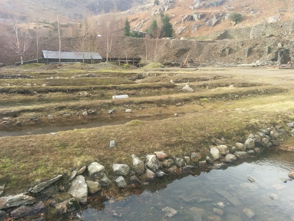 ChallengingLand of Power and Ore5.6 km · 3.3 hr · 0.3 km awaySteep fell track past engine houses, shafts and old copper workings
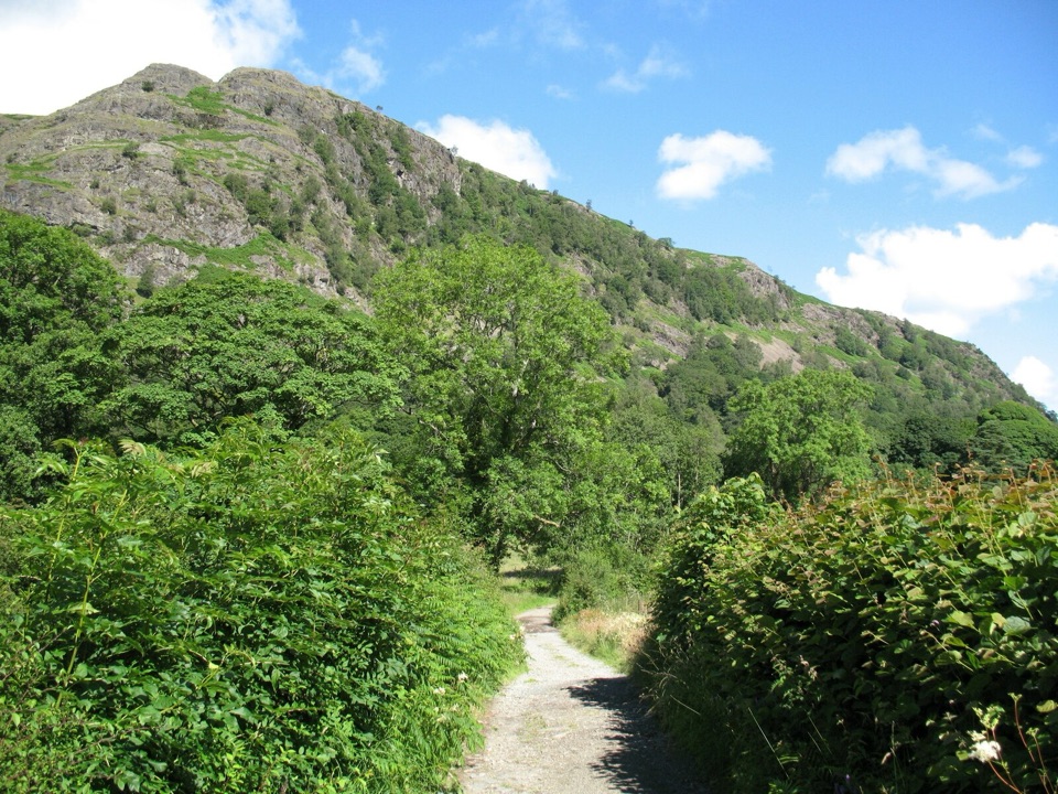 EasyYewdale Bridleway4.8 km · 1.3 hr · 0.4 km awayStone track under rocky fells, oak woods and a timber footbridge
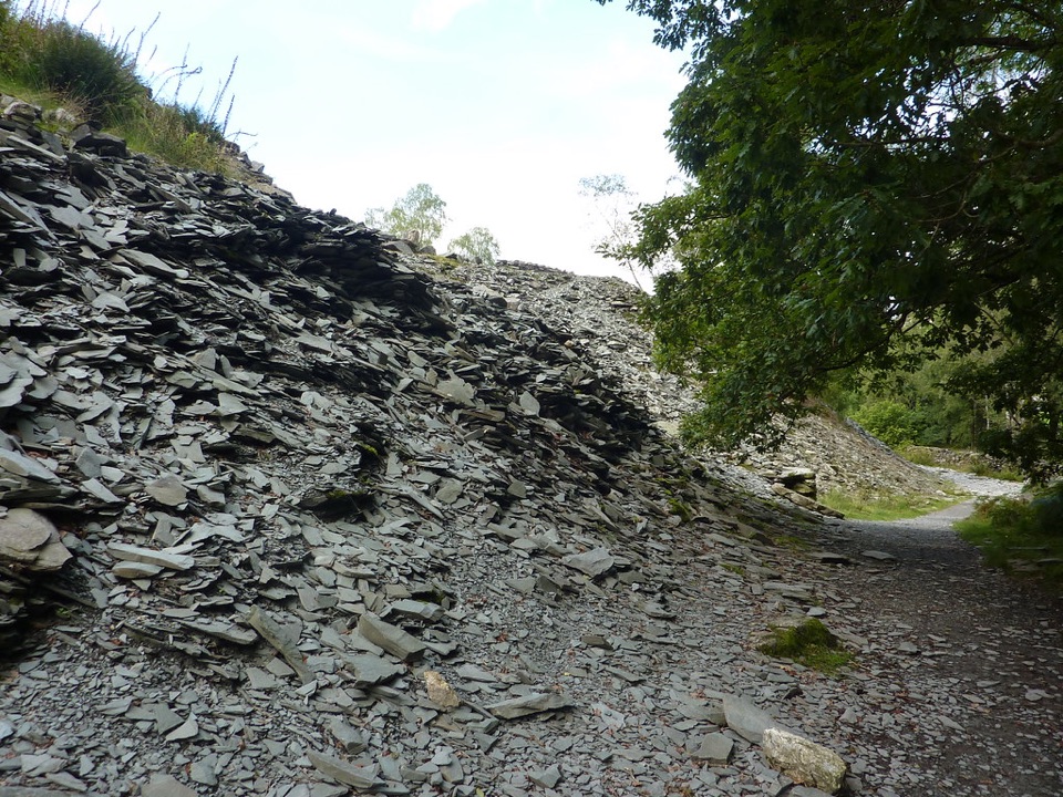 EasyElterwater Trail10 km · 3.5 hr · 0.5 km awaySlate country crossing from Coniston to Elterwater via Slater's Bridge
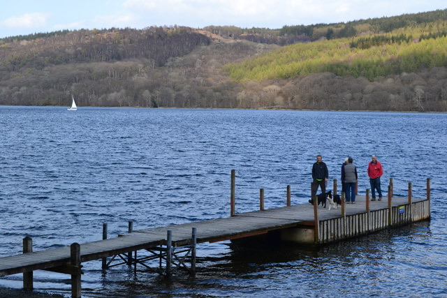 EasyConiston to Torver Jetty3.5 km · 1.8 hr · 0.6 km awaySmooth lakeshore path south to Torver jetty, with Old Man views
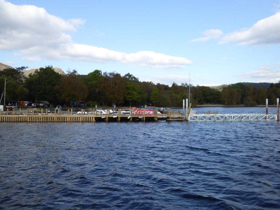 EasyMiners' Lives3.2 km · 1 hr · 0.6 km awayShort lakeside village loop through Coniston's copper-mining past
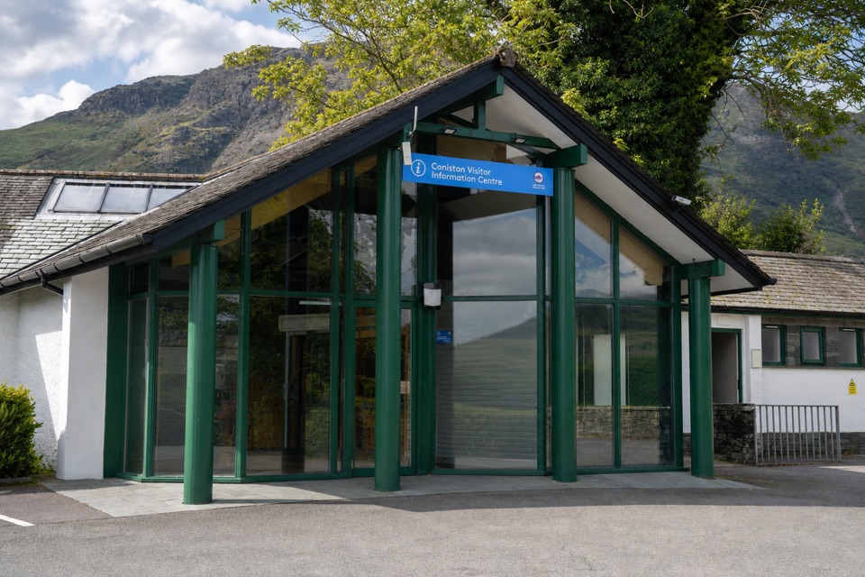 Visitor center · At the trailheadConiston Information CentreA practical base for maps, walks, and local Coniston advice
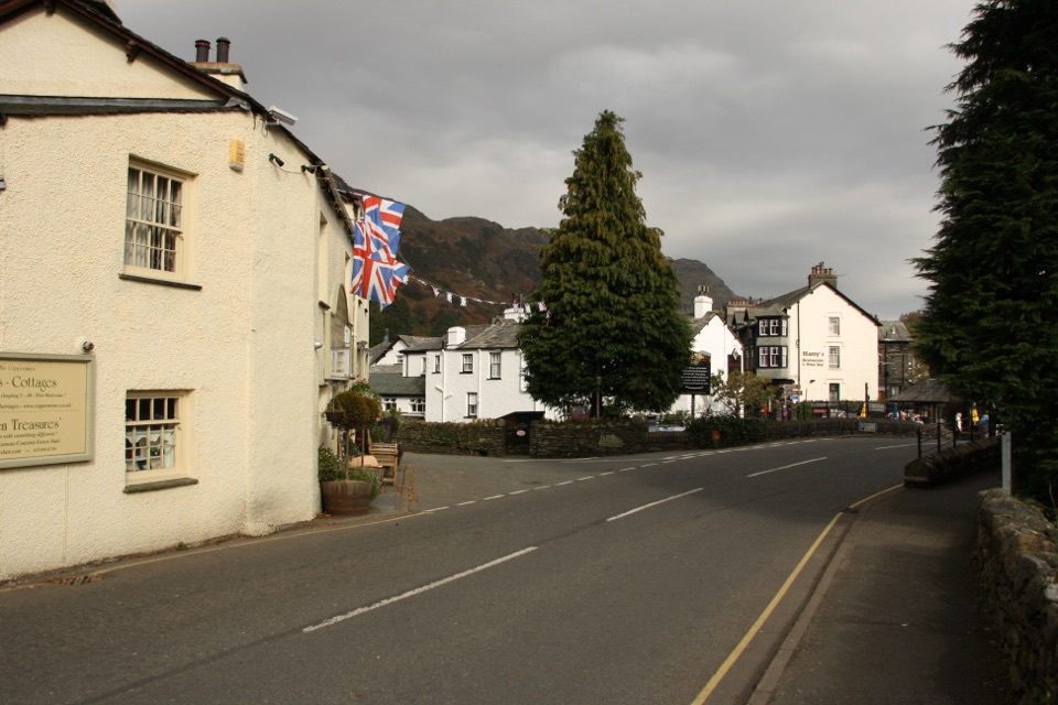 Sight · 0.1 km awayConiston VillageA characterful village base beneath the Old Man of Coniston
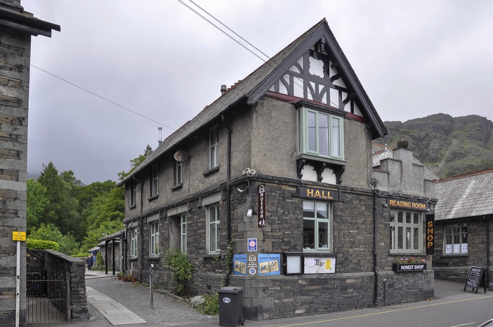 Sight · 0.3 km awayThe Ruskin MuseumBluebird K7 anchors a rich story of Coniston, copper, and culture
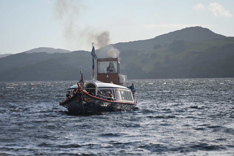 Sight · 0.7 km awaySteam Yacht GondolaA Victorian steam yacht gliding beneath Coniston's fells
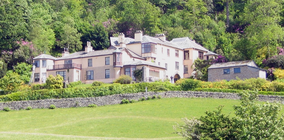 Sight · 1.9 km awayBrantwoodRuskin's house, winding gardens, and a big Coniston Water view
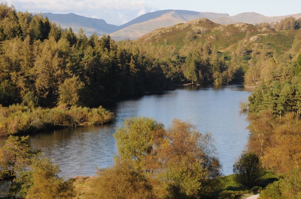 Sight · 3 km awayTarn HowsA wooded mountain tarn with an easy loop and fell views
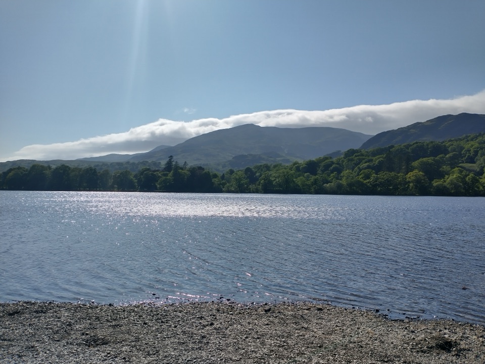 Sight · 3.1 km awayOld Man of ConistonA slate-scarred summit with wide views over the southern Lakes
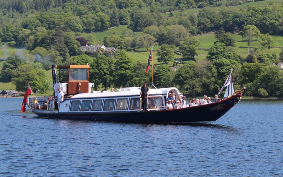 Sight · 3.7 km awayConiston WaterA deep lake of boats, stories, and the Old Man's reflection
Parkwolf’s Lake District ranking
 Scafell Pike via Hollow Stones from WasdaleChallenging · 9 km
 Helvellyn via Striding Edge and Swirral EdgeChallenging · 12.4 km
 CatbellsModerate · 6.6 km
 Buttermere CircularEasy · 7.6 km
 The Fairfield HorseshoeChallenging · 17.2 km
 Scafell Pike from Seathwaite via the Corridor RouteChallenging · 15.1 km
The audio tour guide for the drive, plus offline maps, trails, and wildlife heatmaps for when the signal drops.