Parking
Start at Florence Falls Picnic Area (Upstream Picnic Area). Parking at Buley Rockhole is limited.
#3 of 17 trails in Litchfield
Litchfield National Park, NT
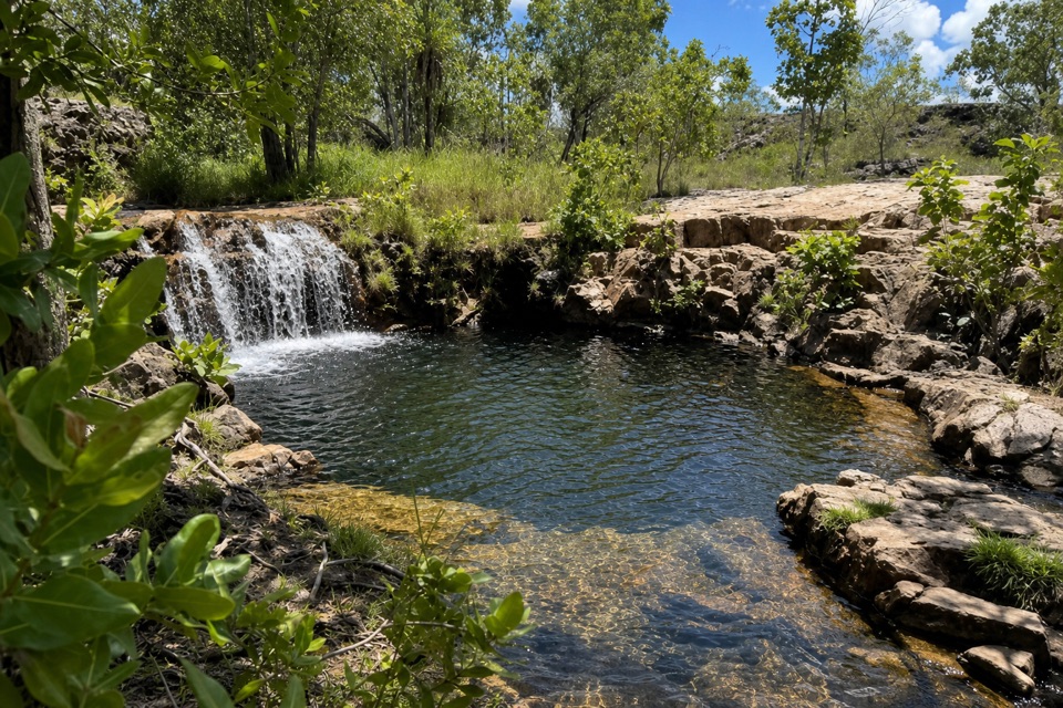
Follow Florence Creek through rainforest and woodland to Buley’s pools.
Overview
Map & elevation
Plan your hike

The highest, rockiest slopes around here are a summer buffet for grizzly bears.
Litchfield Tour Guide
Parkwolf is a GPS audio tour guide for Litchfield National Park. As you drive, it chimes in with what’s ahead: hidden gems, upcoming stops, history, geology, and wildlife, right through your car’s speakers.
Recorded for this trailhead
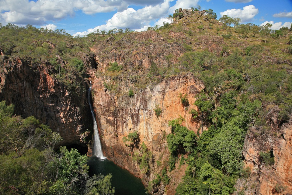
Florence Falls“You're approaching Florence Falls, where the lookout lets you see both cascades dropping into a dark pool ringed by forest.”
Plays as you drive up to this trailhead in the Parkwolf Litchfield Tour Guide.
More stories near here in the app
“Fantastic app with many points of information… It’s great to just turn on while you’re driving and it gives you an audio tour of the national Park. We love it!!!!”


Trail guide
Florence Creek Walk is a 3.2 km out-and-back from Florence Falls’ upstream picnic area to Buley Rockhole and back along the same corridor. The park grades it Grade 2—easy, with a listed time of about 1.5 hours. It follows Florence Creek between the upstream picnic access and Buley’s linked waterfalls and rock pools, passing through cool monsoon rainforest and open savannah woodland. The Florence Falls plunge pool is nearby, but it is reached by separate access paths rather than by the mapped creek walk. The 3.2 km is the total return distance; the one-way trail corridor is about 1.6 km.
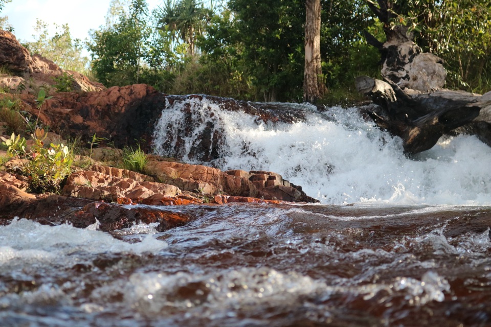
Leave from the Upstream Picnic Area and follow Florence Creek Walk to Buley, then turn around and retrace it. This is a creek connection, not a loop or a climb to a summit. NT’s Grade 2 standard describes a hardened or compacted track with gentle hills and occasional steps. Grade 2 is easy, but it differs from the system’s Grade 1 disabled-access category; the full route is not listed as step-free. At Buley Rockhole, the payoff is a sequence of cascades and rock holes rather than one single waterfall. For a photo, keep several pools and the short falls in the frame so the creek’s stepped shape reads clearly. Kingfishers, honeyeaters, fairy-wrens and pigeons are among the birds noted around the walk; they are possible sightings, not a checklist.
If you are driving, leave the car at Florence Falls Picnic Area. The park recommends this end because parking at Buley Rockhole is limited, and it makes Buley your turnaround without needing a second car. The Florence end has a picnic area and public toilet. Florence Falls’ large plunge pool is nearby, but it has its own access: descend 160 steps or take the separate 1 km Shady Creek walk, which passes through monsoon forest along an uneven cobbled path with steps. Those are alternatives for reaching the plunge pool, not extensions of Florence Creek Walk. If the waterfall pool is your main reason to stop, one of those shorter approaches may suit better than walking all the way to Buley and back.
The 1.5-hour estimate is for the walk; add time if you swim at either end. Visitors from outside the Northern Territory need an NT Parks Visitor Pass, while NT residents are exempt. Pets are not permitted in Litchfield National Park; assistance animals are allowed under the park’s rules. This route suits someone looking for an easy creek-side walk with a clear turnaround and a swimming stop at Buley. It is less useful if you want a long circuit, a high viewpoint, or direct access to Florence Falls without steps: the walk links the upstream picnic area to Buley Rockhole, and the waterfall plunge pool is reached on a separate path.
Keep exploring
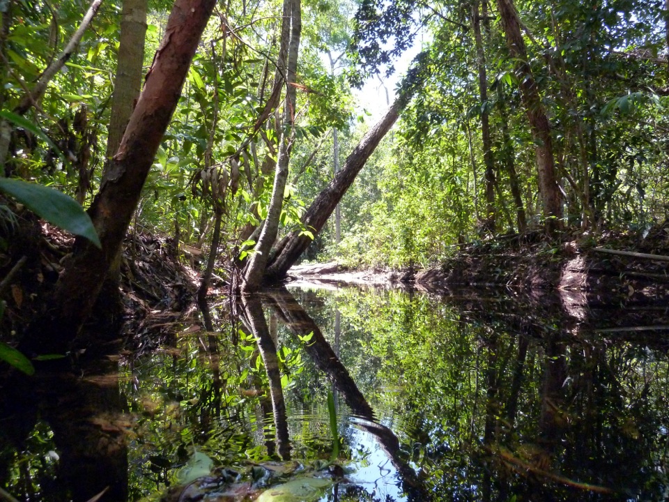 ModerateShady Creek Walk1.6 km · 45 min · At the trailheadA creekside loop to a Top End waterfall and plunge pool.
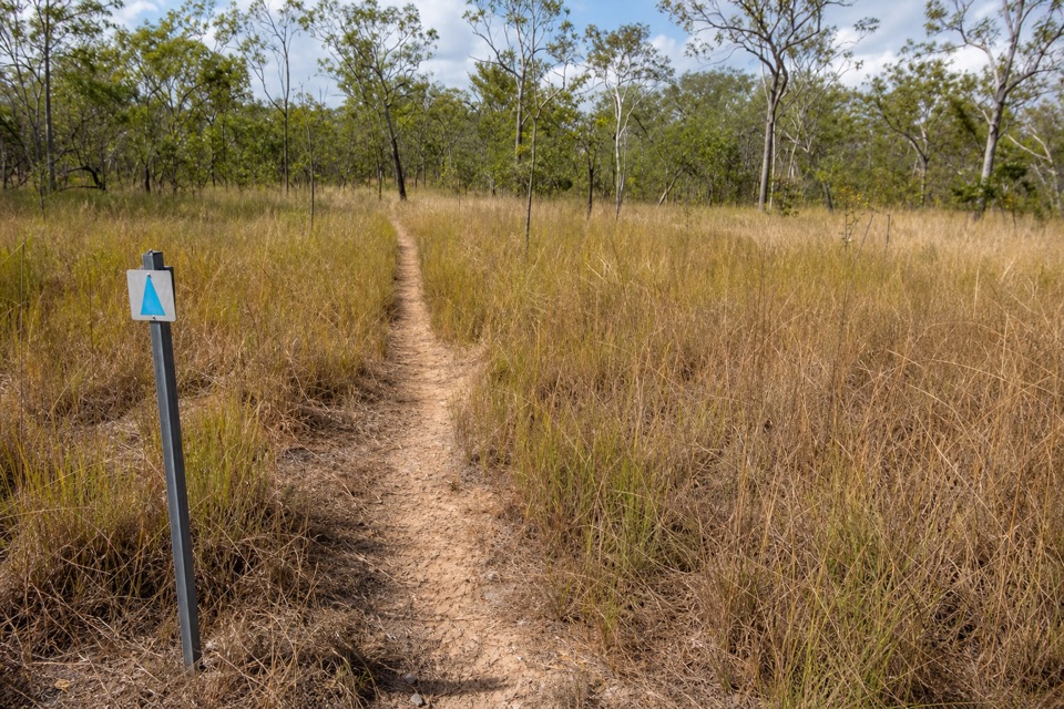 ChallengingTabletop Track: Florence Falls to Wangi Falls20 km · 12 hr · At the trailheadA two-day savanna traverse from Florence Falls to Wangi Falls
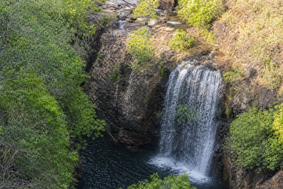 ChallengingTabletop Track Full Circuit38.9 km · 4 days · 0.9 km awayA remote, rocky four-day loop through Litchfield creek country
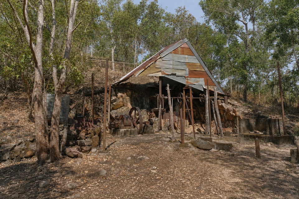 EasyBamboo Creek Tin Mine Walk0.6 km · 30 min · 8.7 km awayStone ruins, water tanks and an old engine on a short loop.
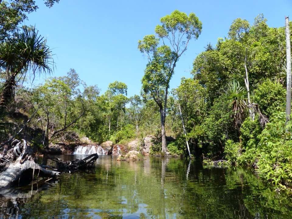 EasyWalker Creek Track3.5 km · 2 hr · 9.6 km awayCreek pools, a monsoon-forest boardwalk and a climb above the valley.
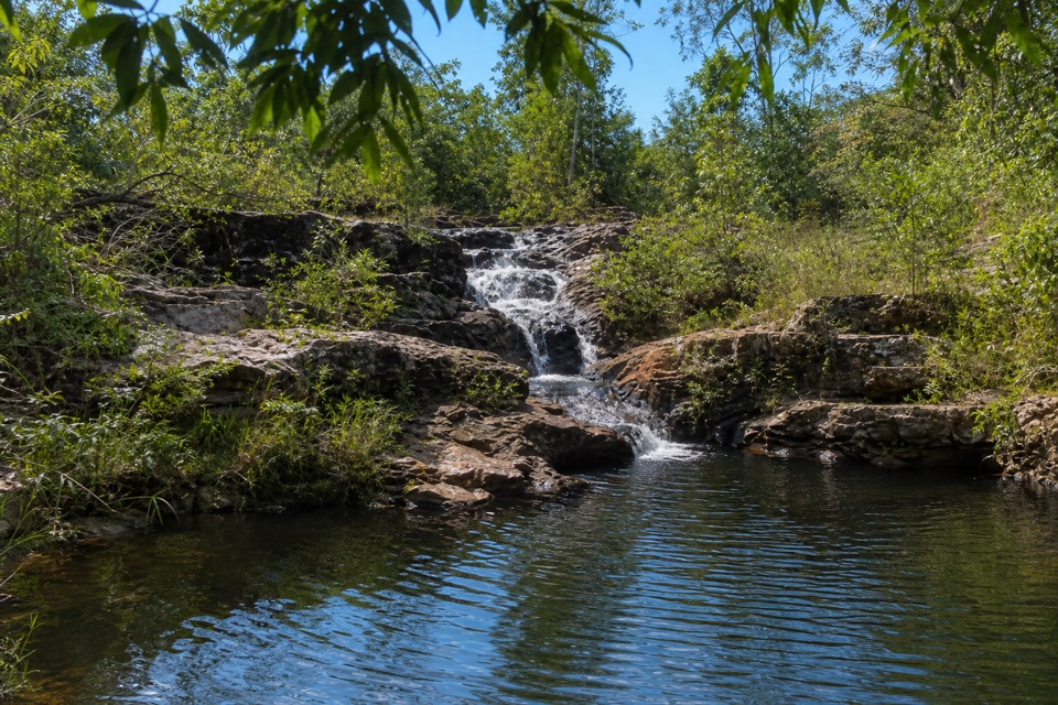 ModerateRocky Falls Day Use Area Walk1.2 km · 30 min · 9.7 km awayA quick creekside out-and-back to low rapids and a swimming spot.
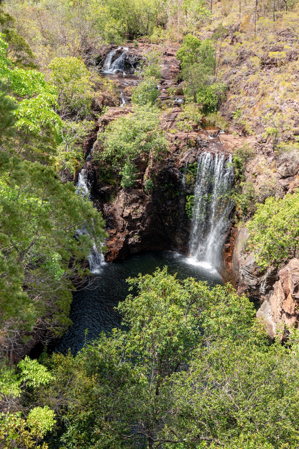 ChallengingTabletop Track: Walker Creek to Florence Falls13.3 km · 8 hr · 9.7 km awayCycads and a creek break up a long, exposed Tabletop crossing.
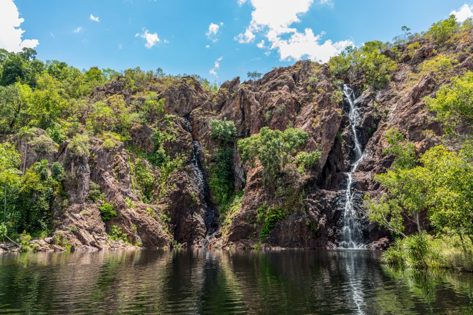 ModerateWangi Falls Walk1.6 km · 1 hr · 13 km awayA short loop pairs the plunge pool with an escarpment climb.
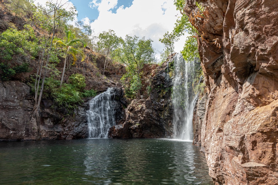 Sight · 0.1 km awayFlorence FallsSwim right up to the falls, 160 steps below the lookout
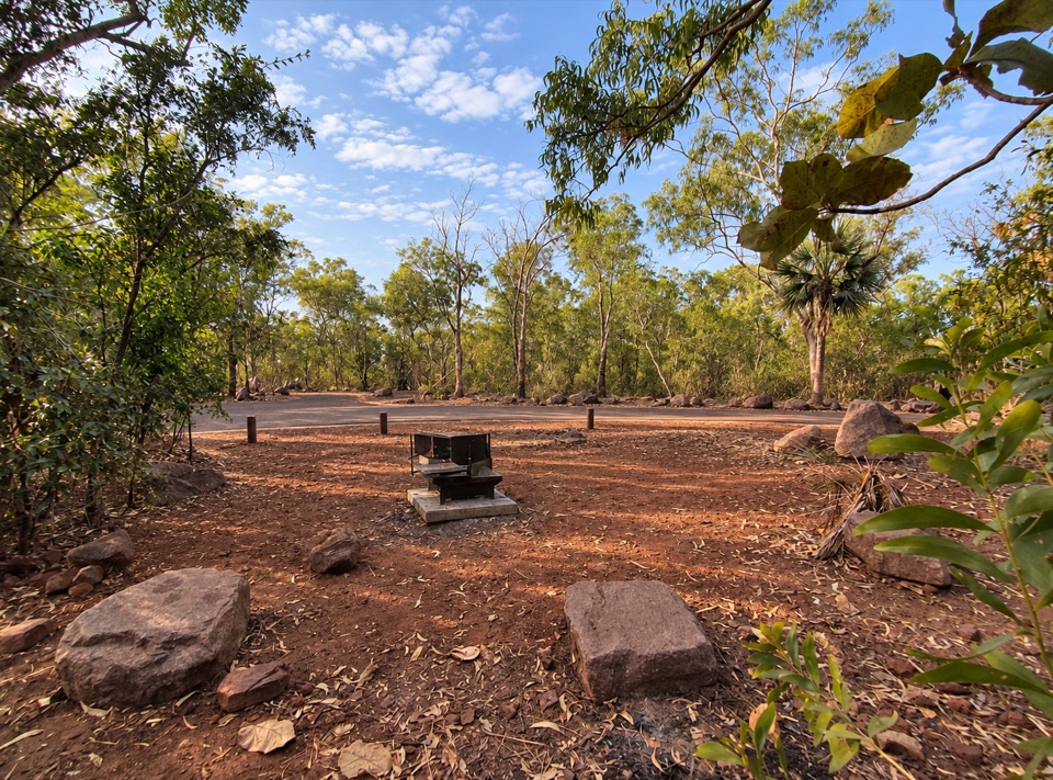 Campground · 0.3 km awayFlorence Falls 2WD CampgroundCaravan-friendly camp with 160 steps down to a year-round waterfall poolCampground · 0.5 km awayFlorence Falls 4WD Campground4WD-only bush camp near a two-tier waterfall and its plunge pool
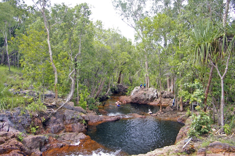 Sight · 1.5 km awayBuley RockholeA staircase of rock pools and tumbling streams made for lounging
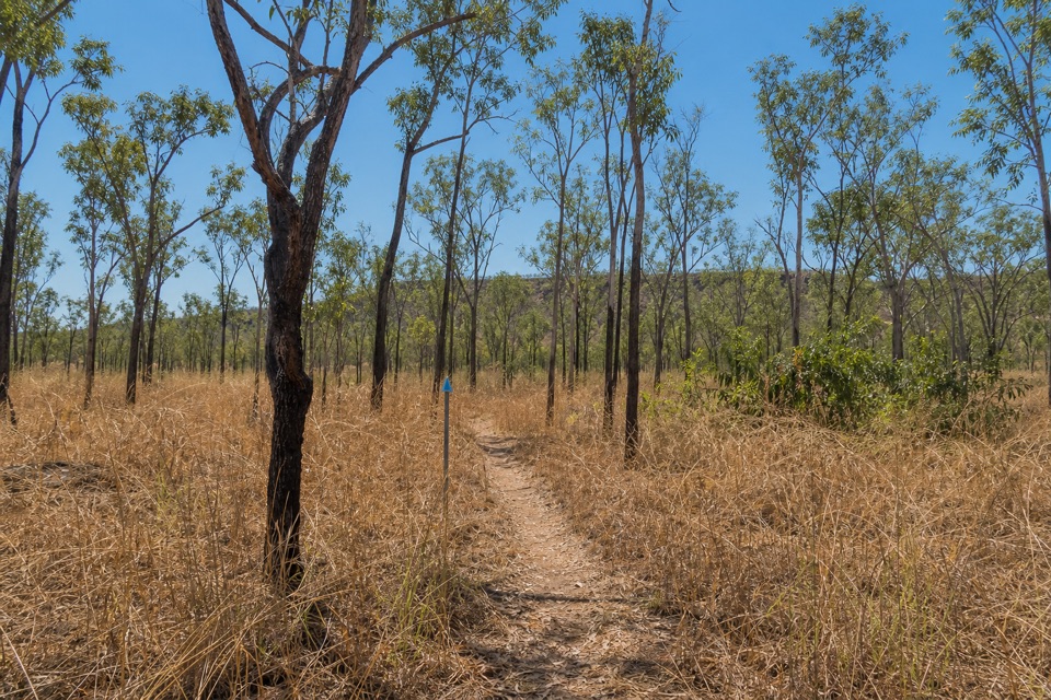 Campground · 6.3 km awayNorthern Campground (Tabletop Track)A quiet overnight stop on the hot, waterless Tabletop circuit
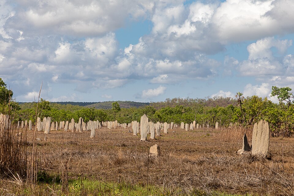 Sight · 6.5 km awayMagnetic Termite MoundsHundreds of wedge-shaped mounds align north-south across a flood plain
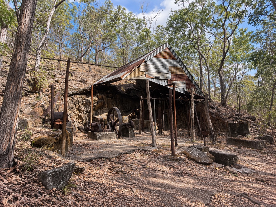 Sight · 8.6 km awayBamboo Creek Tin MineEarly-1900s tin workings and stone quarters on a short 4WD-access loop
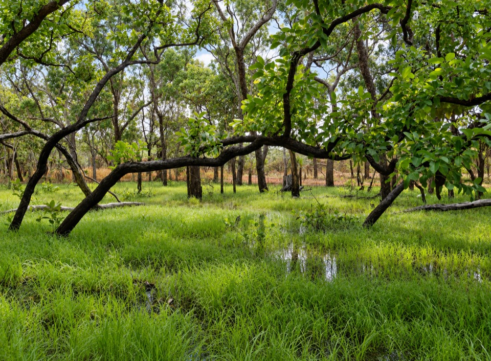 Sight · 9.5 km awayTabletop SwampA paperbark-fringed wetland for a quiet picnic and unhurried birdwatching
Parkwolf’s Litchfield ranking

The audio tour guide for the drive, plus offline maps, trails, and wildlife heatmaps for when the signal drops.