Parking
Use Tolmer Falls Carpark off Tolmer Falls Road; the walk starts at the carpark beside the direct path to the lookout. No separate parking fee or lot capacity is listed.
#6 of 17 trails in Litchfield
Litchfield National Park, NT
A short loop pairs the falls platform with a rocky creek return.
Overview
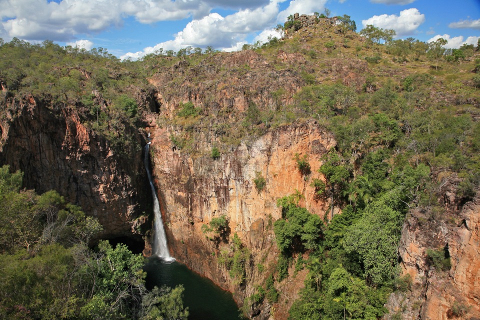
Tolmer Falls Walk is a 1.6 km loop from Tolmer Falls Carpark that pairs the direct path to the falls lookout with the longer Tolmer Creek return. NT Parks lists 45 minutes and Grade 3, moderate. It is a compact walk, but the two halves feel different: one gets you to the viewing platform quickly, and the other brings you through sandstone country and along the creek. If the waterfall is your only stop, the separate 400 m path to the platform is the shorter option. Take the full circuit when you want the creek and woodland as well as the falls.
 Parkwolf’s verdictWhy this short loop earns its time
Map & elevation
Plan your hike

The highest, rockiest slopes around here are a summer buffet for grizzly bears.
Litchfield Tour Guide
Parkwolf is a GPS audio tour guide for Litchfield National Park. As you drive, it chimes in with what’s ahead: hidden gems, upcoming stops, history, geology, and wildlife, right through your car’s speakers.
Recorded for this trailhead
Tolmer Falls“You're nearing Tolmer Falls, where water drops over two sandstone escarpments into a pool far below the lookout.”
Plays as you drive up to this trailhead in the Parkwolf Litchfield Tour Guide.
More stories near here in the app
“Fantastic app with many points of information… It’s great to just turn on while you’re driving and it gives you an audio tour of the national Park. We love it!!!!”


Trail guide
The loop can be walked in either direction. On the Tolmer Creek section, the track passes through dry cycad woodland on a well-built path with stone steps. The valley is shallow and can look dry, then the footing gets rockier where the route follows cliffs above the creek. Rock platforms and sandstone edges make this part more varied than the short walk to the lookout. Views open toward the south-west as you go, and the landscape becomes more dramatic nearer the falls. A pyramid-shaped hill is one landmark to watch for along the creek section. The steps and rough patches are the main effort; this is not a long climb, but it is more than a smooth paved stroll.
Start at Tolmer Falls Carpark off Tolmer Falls Road. The full circuit includes the carpark-to-lookout approach and the Tolmer Creek return; the 400 m accessible path to the platform is a separate short option, not the full walk. Allow about 45 minutes, plus time to stay at the platform. NT Parks lists public toilets, information signs and an emergency call device at the site; food and drinking water are not listed, so plan those before arriving. A NT Parks Visitor Pass is required. Pets are not permitted in the park, though certified guide dogs are allowed. The creek return has stone steps and rougher rock, so choose the accessible lookout path if you need a smoother surface.
Keep exploring
 EasyTolmer Falls Lookout Walk0.8 km · 20 min · At the trailheadA short sealed path to two decks over Tolmer's deep gorge.
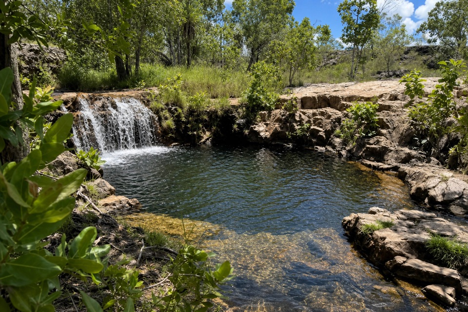 ModerateGreenant Creek Walk3.1 km · 1.5 hr · 1.4 km awayShade gives way to a steep climb and a falls lookout.
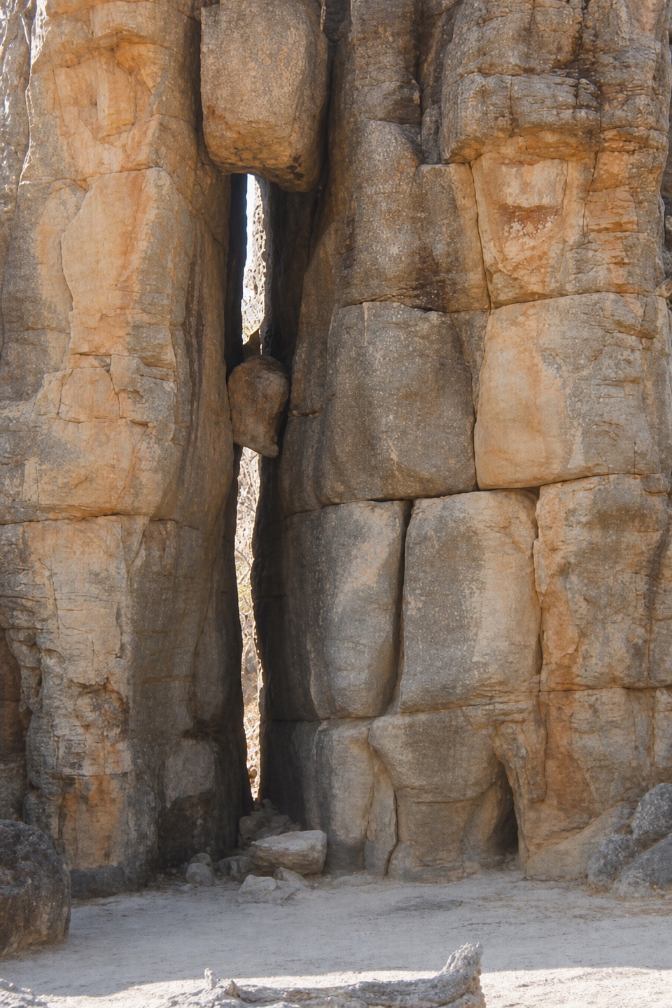 EasyThe Lost City Walk0.7 km · 30 min · 3 km awayA short wander among sandstone pillars, reached only by 4WD.
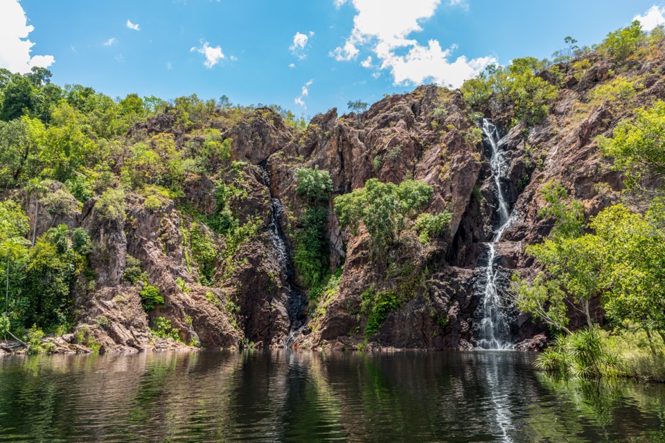 ModerateWangi Falls Walk1.6 km · 1 hr · 5.3 km awayA short loop pairs the plunge pool with an escarpment climb.
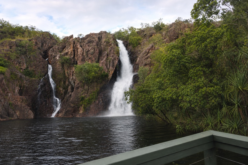 ChallengingTabletop Track: Wangi Falls to Walker Creek20.2 km · 12 hr · 5.6 km awayA rugged two-day Tabletop crossing with waterfalls and long dry stretches.
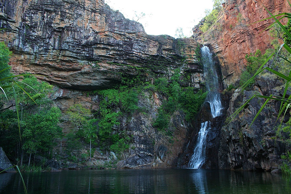 ModerateTjaynera Falls Walk3.4 km · 1.5 hr · 6.3 km awayCycads, paperbarks, and a plunge pool beneath the falls.
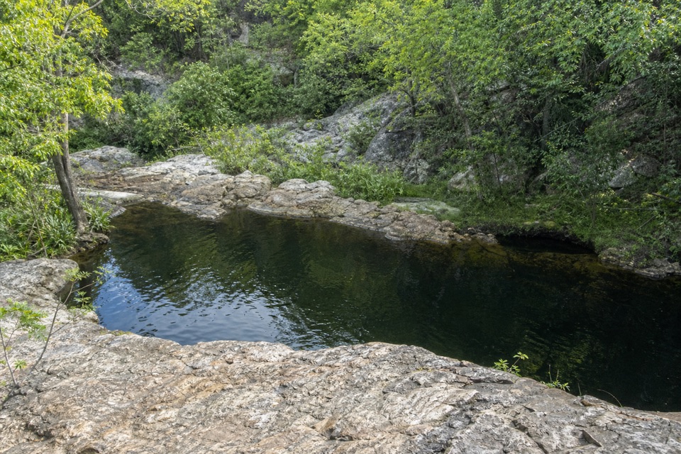 ModerateLower Cascades Walk2.6 km · 1.5 hr · 10 km awayQuickest, shadiest access to Curtain Falls and its rocky plunge pool.
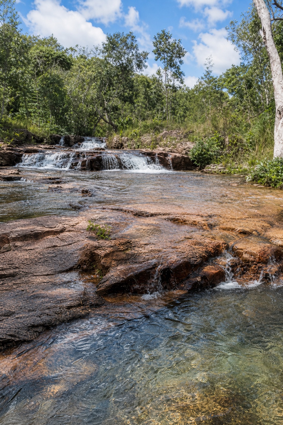 ModerateUpper Cascades Walk3.3 km · 2 hr · 10 km awayA rocky climb opens onto plateau lookouts and stepped cascades.Sight · 0.4 km awayTolmer FallsTwin escarpments, one deep plunge pool, and a short sealed path
 Picnic area · 1.4 km awayGreenant Creek Picnic AreaShady creekside start to a 2.7 km return walk and lookout
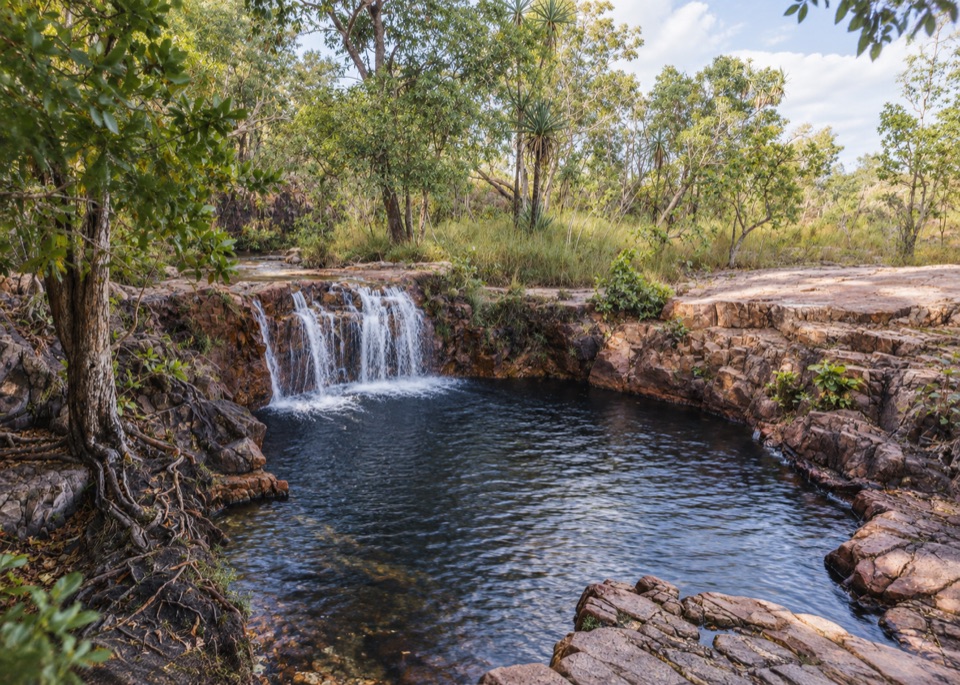 Sight · 1.6 km awayTjaetaba FallsShady creek walk climbing to a quiet rocky cascade
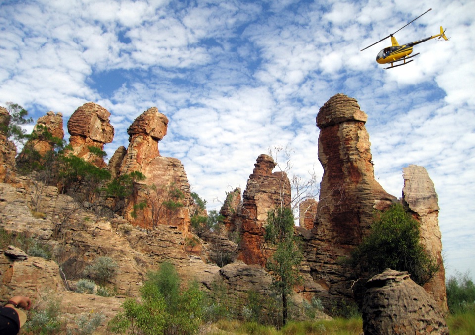 Sight · 2.9 km awayThe Lost CityTowering sandstone blocks like ruined city streets, reached only by 4WD
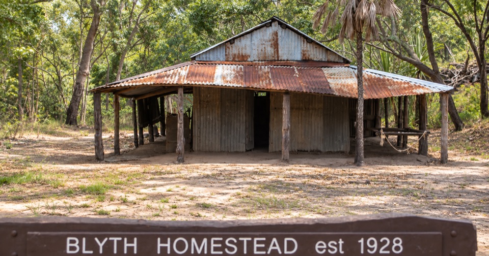 Sight · 3.6 km awayBlyth HomesteadRestored 1928 pastoral homestead deep on the Reynolds River 4WD track
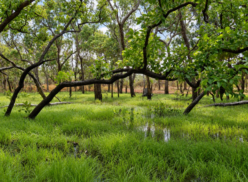 Sight · 4.6 km awayTabletop SwampA paperbark-fringed wetland for a quiet picnic and unhurried birdwatching
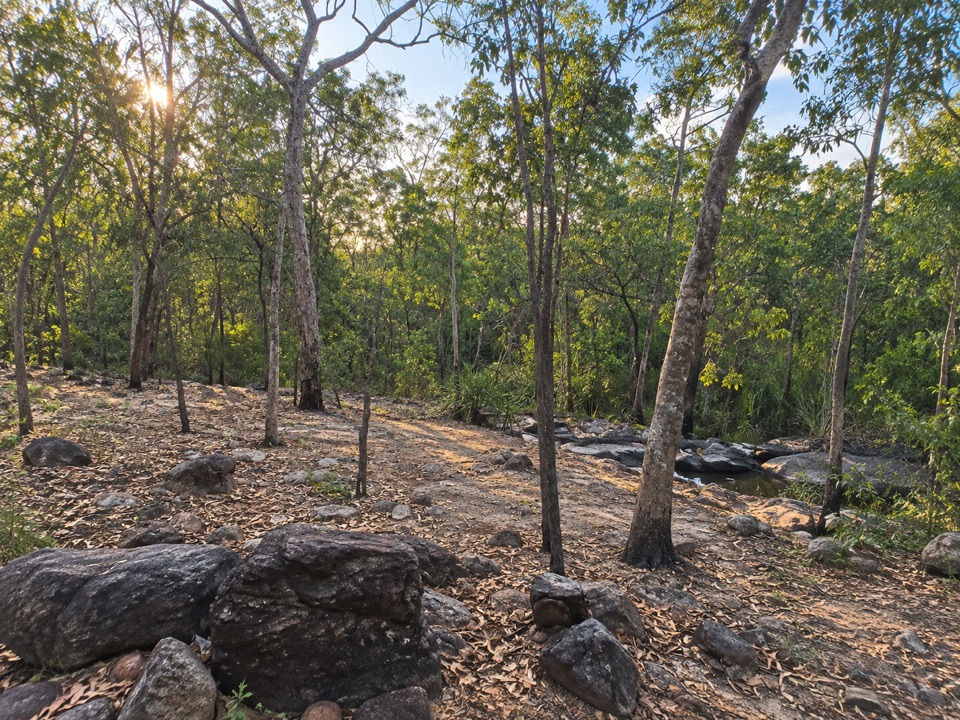 Campground · 5 km awaySouthern Campground (Tabletop Track)Rugged riverbed camp 15 km into the Tabletop Track loop
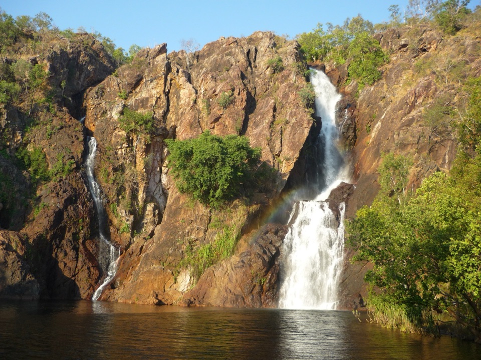 Sight · 5.3 km awayWangi FallsTwin falls into a deep swimming pool, minutes from the carpark
Parkwolf’s Litchfield ranking
The audio tour guide for the drive, plus offline maps, trails, and wildlife heatmaps for when the signal drops.