Parking
Use Wangi Falls Carpark, then follow the visitor path to the plunge-pool start. The carpark pin is separate from the route start.
#1 of 17 trails in Litchfield
Litchfield National Park, NT
A short loop pairs the plunge pool with an escarpment climb.
Overview
Map & elevation
Plan your hike

The highest, rockiest slopes around here are a summer buffet for grizzly bears.
Litchfield Tour Guide
Parkwolf is a GPS audio tour guide for Litchfield National Park. As you drive, it chimes in with what’s ahead: hidden gems, upcoming stops, history, geology, and wildlife, right through your car’s speakers.
Recorded for this trailhead
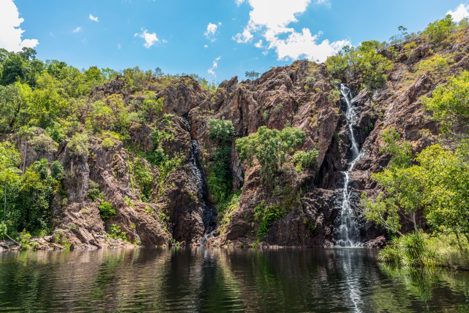
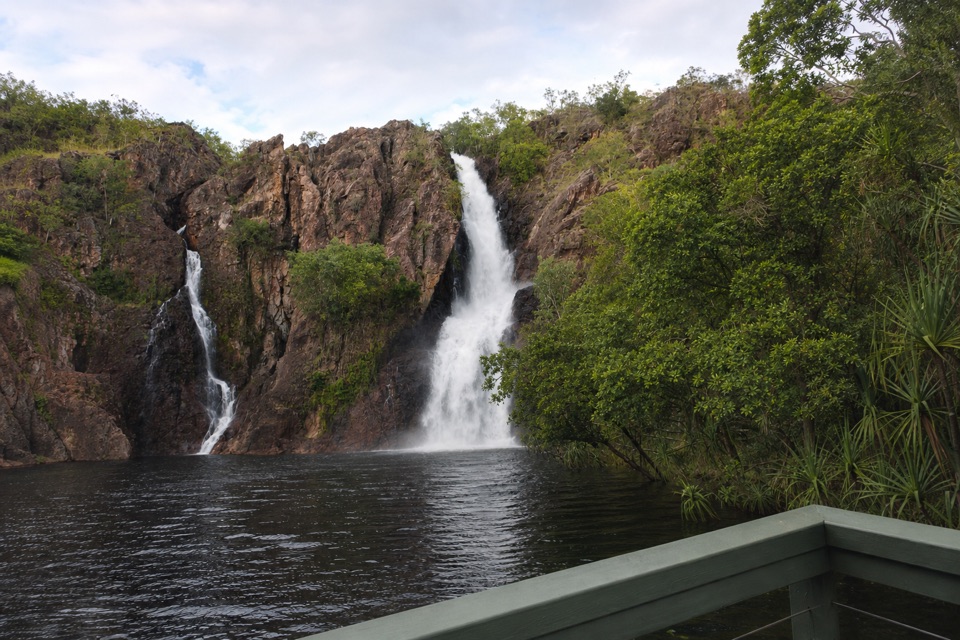
Wangi Falls“You're coming up on Wangi Falls, where two cascades drop into a broad pool edged by monsoon forest.”
Plays as you drive up to this trailhead in the Parkwolf Litchfield Tour Guide.
More stories near here in the app
“Fantastic app with many points of information… It’s great to just turn on while you’re driving and it gives you an audio tour of the national Park. We love it!!!!”


Trail guide
Wangi Falls Walk is a 1.0-mile (1.6-km) loop from the plunge-pool area, past the falls’ lower viewing platform, through monsoon forest and up onto the escarpment. That’s the whole circuit, not each way. Allow about an hour; the grade is moderate and steep in sections. I’d do it if you want more than the falls-side viewpoint. You get the close, broad view from below, then cross the creek that feeds the falls and look out over the forest from the escarpment.
The route is short, but it isn’t a flat stroll. Most of the effort is in the stair climb and the stepped descent. The changing views earn those steps: Wangi looks like two cascades when you’re beside the plunge pool, but from the top you see the feeder creek and the long escarpment instead.
The trail starts at Wangi plunge pool. Before the climb, take the short walk to the viewing platform at the base of the falls. It looks across the wide pool to the rock face, where two cascades drop through a dark cleft edged with greenery. This is the best place to compose a photo of the falls: include some of the pool in the foreground so the picture shows where the water lands, not only the cliff.
The platform comes before the steep section, so you can make a shorter out-and-back by turning around there. No separate distance is posted for that option. If you’re avoiding stairs, the lower falls view is the useful compromise; don’t take on the circuit just to get a close look at the water.
The trail passes through monsoon forest and begins its climb on ground path, then stairs. There’s a resting point partway up. At the top, a bridge crosses the creek that supplies the falls. You don’t walk out onto the brink; the marked route stays back from the lip and follows the cliff line, opening views across forest to the west. The creek looks modest beside the drop below, a good reminder that the waterfall’s scale is hard to judge from one spot.
From here the circuit descends on stone steps and switchbacks through denser forest toward the grassy day-use area. Expect frequent stepping both up and down, not a long sustained trek. If steep stairs are hard on your knees or hips, use the lower platform and skip the climb.
Use Wangi Falls Carpark for vehicle access, then follow the visitor path to the plunge-pool start; the measured circuit begins at the pool, not the carpark. Most visitors need an NT Parks Visitor Pass; NT residents are exempt. Ordinary pets aren’t permitted in the park. The falls day-use area has toilets, showers, picnic tables, gas BBQs and a kiosk serving coffee and food; its water must be boiled before drinking.
Swimming above the falls isn’t permitted. If you want a second photo, the bridge is a good place to show the creek that feeds Wangi and the forest beyond it. Keep to the marked path.
Keep exploring
 ChallengingTabletop Track: Wangi Falls to Walker Creek20.2 km · 12 hr · 0.3 km awayA rugged two-day Tabletop crossing with waterfalls and long dry stretches.
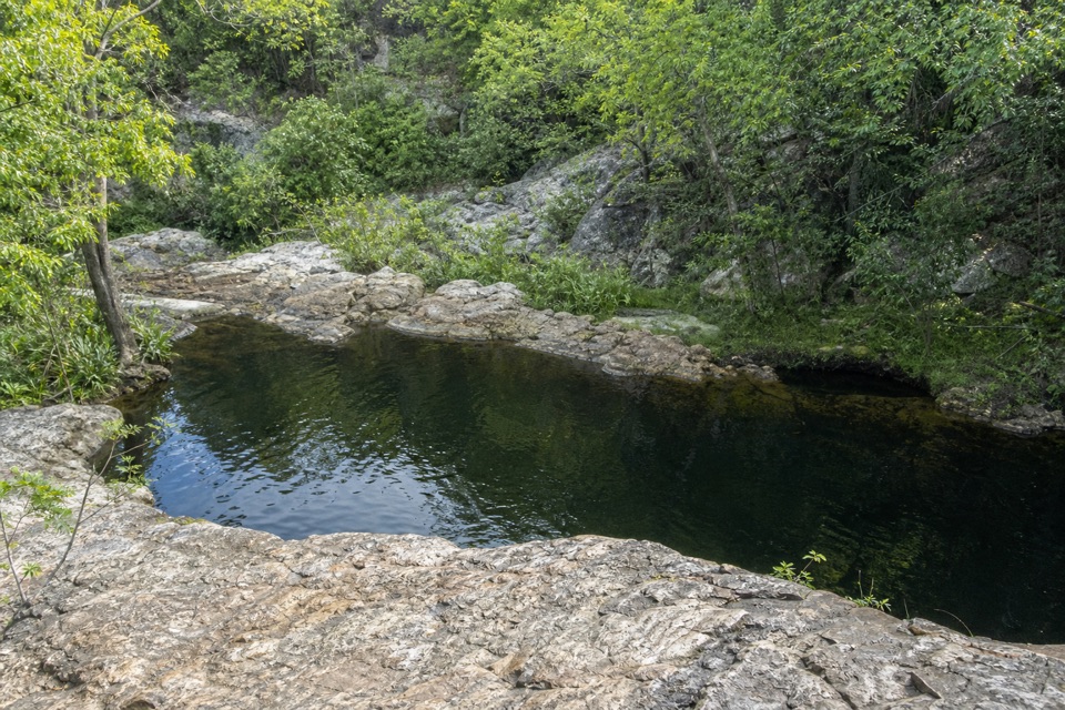
 ModerateGreenant Creek Walk3.1 km · 1.5 hr · 4.5 km awayShade gives way to a steep climb and a falls lookout.
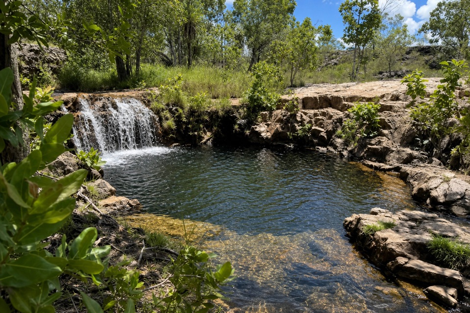
 ModerateLower Cascades Walk2.6 km · 1.5 hr · 4.7 km awayQuickest, shadiest access to Curtain Falls and its rocky plunge pool.
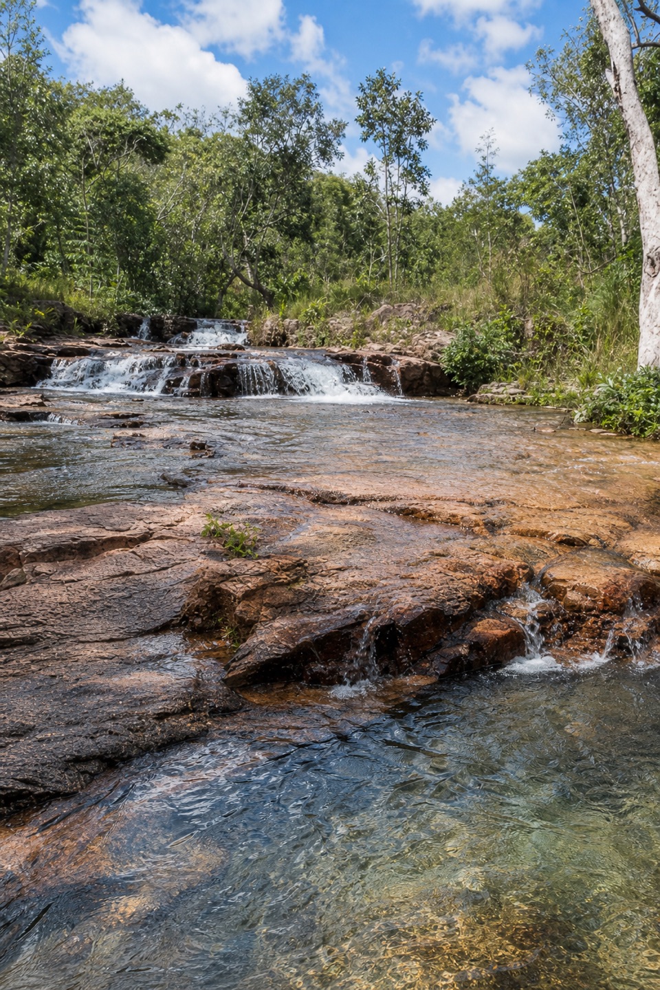 ModerateUpper Cascades Walk3.3 km · 2 hr · 4.7 km awayA rocky climb opens onto plateau lookouts and stepped cascades.
 EasyTolmer Falls Lookout Walk0.8 km · 20 min · 5.3 km awayA short sealed path to two decks over Tolmer's deep gorge.
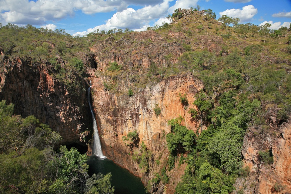 ModerateTolmer Falls Walk1.6 km · 45 min · 5.3 km awayA short loop pairs the falls platform with a rocky creek return.
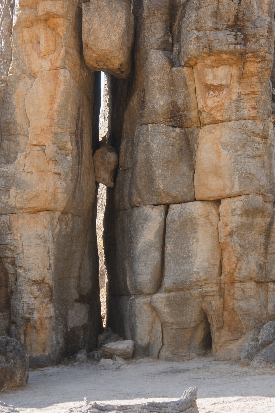 EasyThe Lost City Walk0.7 km · 30 min · 8.2 km awayA short wander among sandstone pillars, reached only by 4WD.
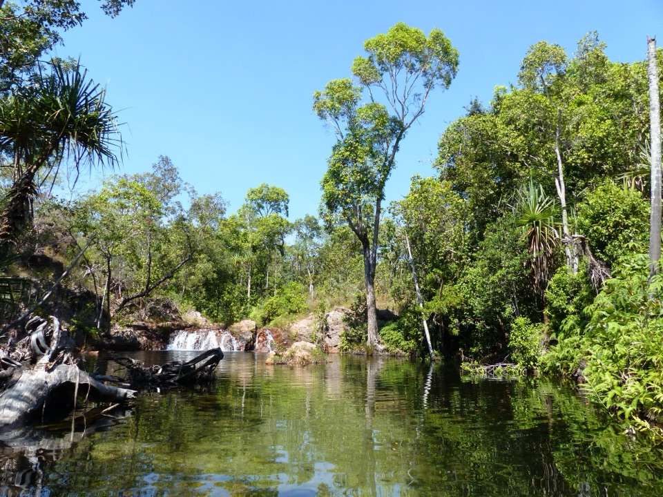 EasyWalker Creek Track3.5 km · 2 hr · 9.7 km awayCreek pools, a monsoon-forest boardwalk and a climb above the valley.
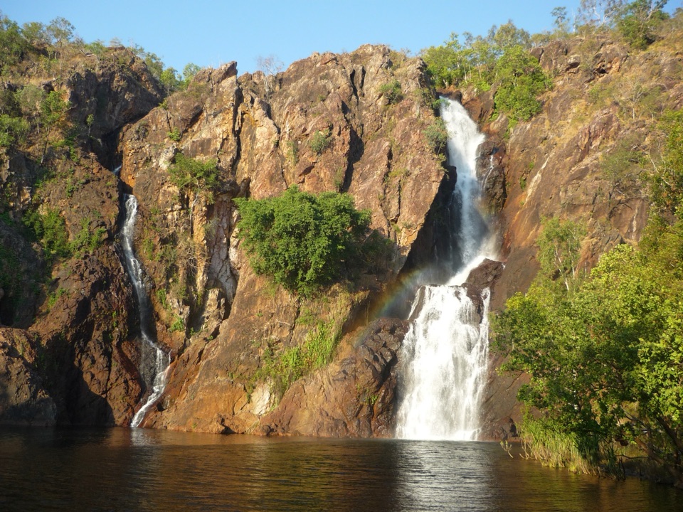 Sight · 0.1 km awayWangi FallsTwin falls into a deep swimming pool, minutes from the carpark
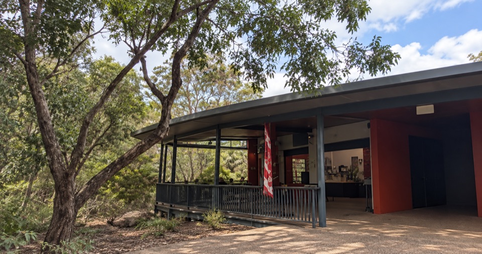 Food · 0.2 km awayWangi Falls CafeShaded open-air kiosk steps from the plunge pool, with cold drinksCampground · 0.4 km awayWangi Falls CampgroundCamp minutes from year-round falls and a deep monsoon-forest pool
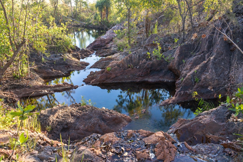 Campground · 3.6 km awayTjenya Falls CampgroundDry-plateau walk-in camp beside a small cascade and rock pools
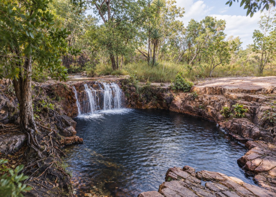 Sight · 3.8 km awayTjaetaba FallsShady creek walk climbing to a quiet rocky cascade
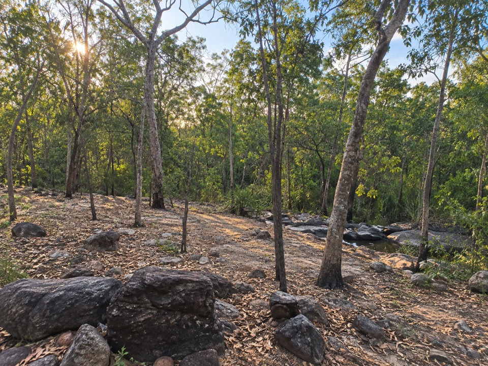 Campground · 3.8 km awaySouthern Campground (Tabletop Track)Rugged riverbed camp 15 km into the Tabletop Track loop
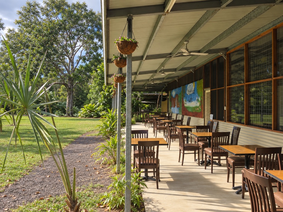 Food · 4.4 km awayLitchfield CafeShady off-grid veranda stop for coffee, beer or a seated meal
 Picnic area · 4.5 km awayGreenant Creek Picnic AreaShady creekside start to a 2.7 km return walk and lookout
Parkwolf’s Litchfield ranking

The audio tour guide for the drive, plus offline maps, trails, and wildlife heatmaps for when the signal drops.