Parking
Park at Greenant Creek Picnic Area (Tjaetaba Falls Car Park). The walk starts at the bridge across Greenant Creek; picnic tables and toilets are close to the car park.
#4 of 17 trails in Litchfield
Litchfield National Park, NT
Shade gives way to a steep climb and a falls lookout.
Overview
Map & elevation
Plan your hike

The highest, rockiest slopes around here are a summer buffet for grizzly bears.
Litchfield Tour Guide
Parkwolf is a GPS audio tour guide for Litchfield National Park. As you drive, it chimes in with what’s ahead: hidden gems, upcoming stops, history, geology, and wildlife, right through your car’s speakers.
Recorded for this trailhead
Greenant Creek and Tjaetaba Falls“You're approaching Greenant Creek, where a shady walk climbs to the Tjaetaba Falls lookout. It's two-point-seven kilometres return and steep in sections, so allow about an hour and a half.”
Plays as you drive up to this trailhead in the Parkwolf Litchfield Tour Guide.
More stories near here in the app
“Fantastic app with many points of information… It’s great to just turn on while you’re driving and it gives you an audio tour of the national Park. We love it!!!!”


Trail guide
Greenant Creek Walk is a 1.9-mile (3.1 km) out-and-back from the bridge over Greenant Creek to Tjaetaba Falls Lookout and the small upper pool. You follow the creek through shady monsoon forest, then climb the escarpment through savanna woodland. It is a lot of scenery for a short walk, but the distance hides a steep, stepped finish. Allow about 1.5 hours for the return walk and time at the falls.
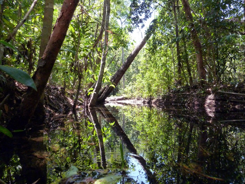
The route starts at the footbridge and tracks the creek upstream. The first part stays close to the water in dense forest, where boardwalk, short bridges and ferns make a clear contrast with the drier landscape beyond. Once the path leaves the trees, it crosses the hillside through open savanna woodland and gains height on rocky steps. The climb is steep in sections, so expect to pause more than the mileage suggests. The footing and shade change together: the enclosed creekside track gives way to a more open slope, where the constructed steps keep climbing toward the escarpment. As the canopy thins, look back toward the monsoon forest and Mount Tolmer across the valley.
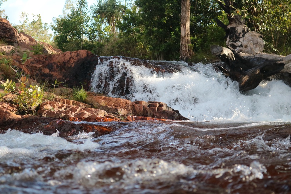
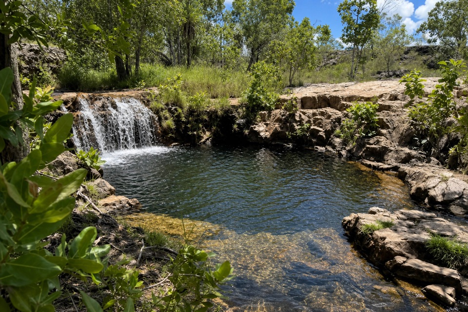
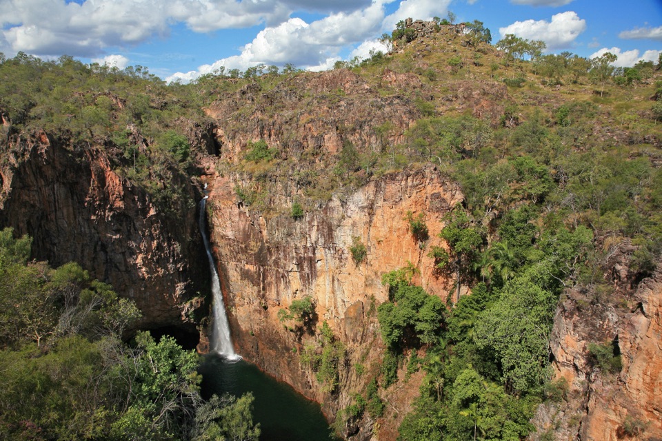
At the end of the climb, a short flight of stairs leads to the lookout over Tjaetaba Falls. The waterfall sits below the escarpment edge, but vegetation can partly screen the view; the trees are part of the scene, so frame them around the water instead of looking for an off-trail opening. Continue a little farther to the small pool above the falls, the walk’s upper-water payoff. The pools are modest and close to the brink, with a short run of rapids between them, rather than a broad swimming hole. NT Parks describes this upper pool in its short-walk directions, but also says the top of the falls is unmonitored and swimming is not recommended. The plunge pool at the base and the creek below the falls are a sacred site; do not swim there.
This is a Grade 3 walk: moderate overall, with a steep climb and rocky steps that make it harder than a creekside stroll. The whole return route is about 1.9 miles (3.1 km); bring enough time to take the climb steadily and stop at the lookout. Park at Greenant Creek Picnic Area, also called Tjaetaba Falls Car Park, and start from the bridge across the creek. Picnic tables and toilets are near the car park. No food or drinking-water stop is listed at the trailhead or on the route, so bring water and anything to eat. An NT Parks Visitor Pass is required, and pets are not permitted in the park.
Keep exploring
 EasyTolmer Falls Lookout Walk0.8 km · 20 min · 1.4 km awayA short sealed path to two decks over Tolmer's deep gorge.
 ModerateTolmer Falls Walk1.6 km · 45 min · 1.4 km awayA short loop pairs the falls platform with a rocky creek return.
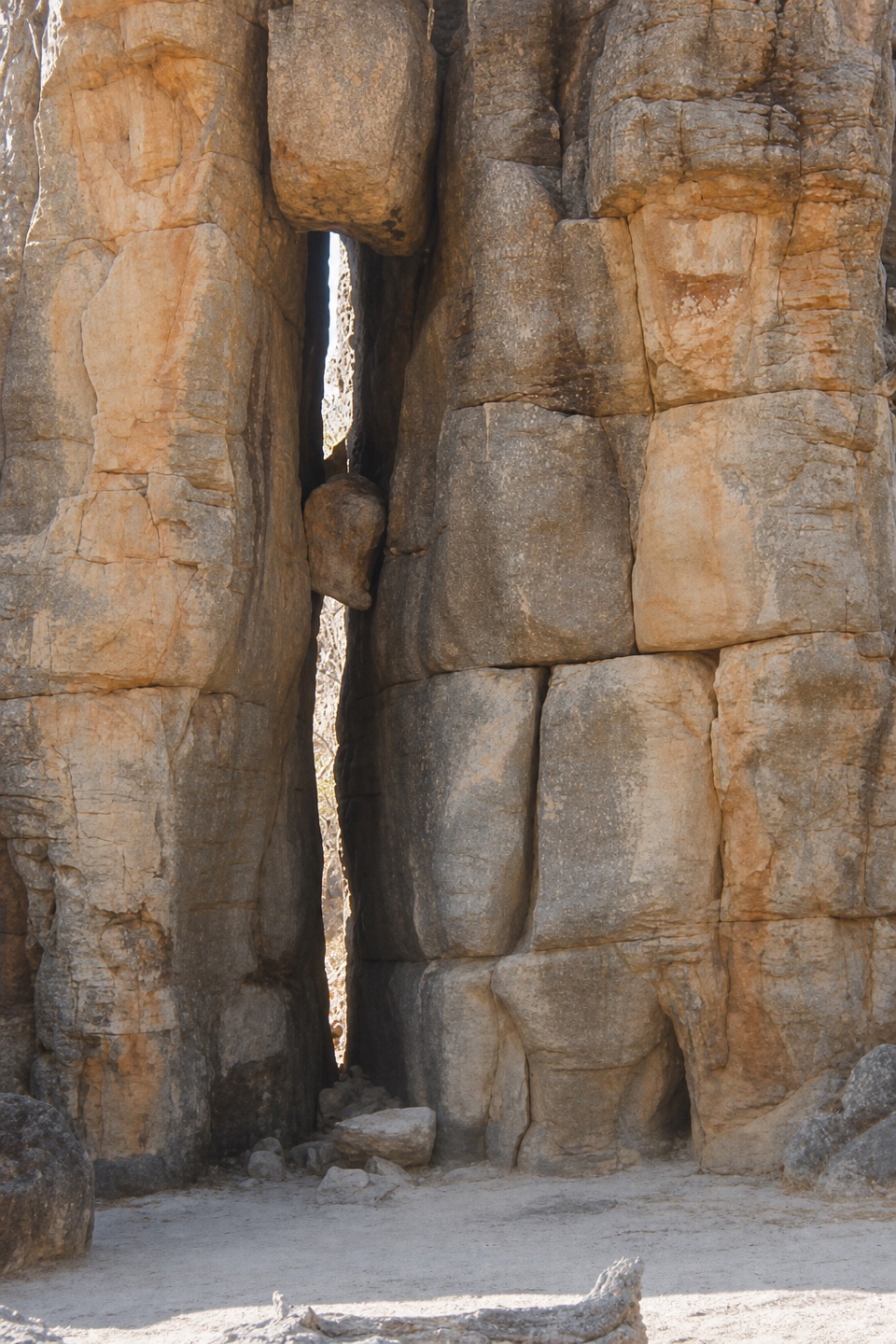 EasyThe Lost City Walk0.7 km · 30 min · 4.2 km awayA short wander among sandstone pillars, reached only by 4WD.
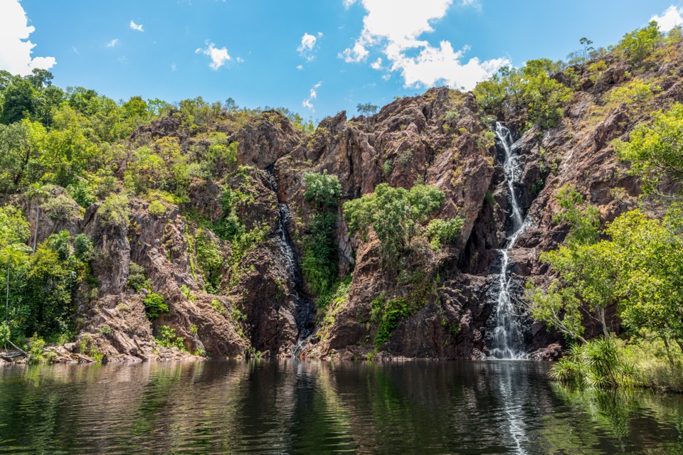 ModerateWangi Falls Walk1.6 km · 1 hr · 4.5 km awayA short loop pairs the plunge pool with an escarpment climb.
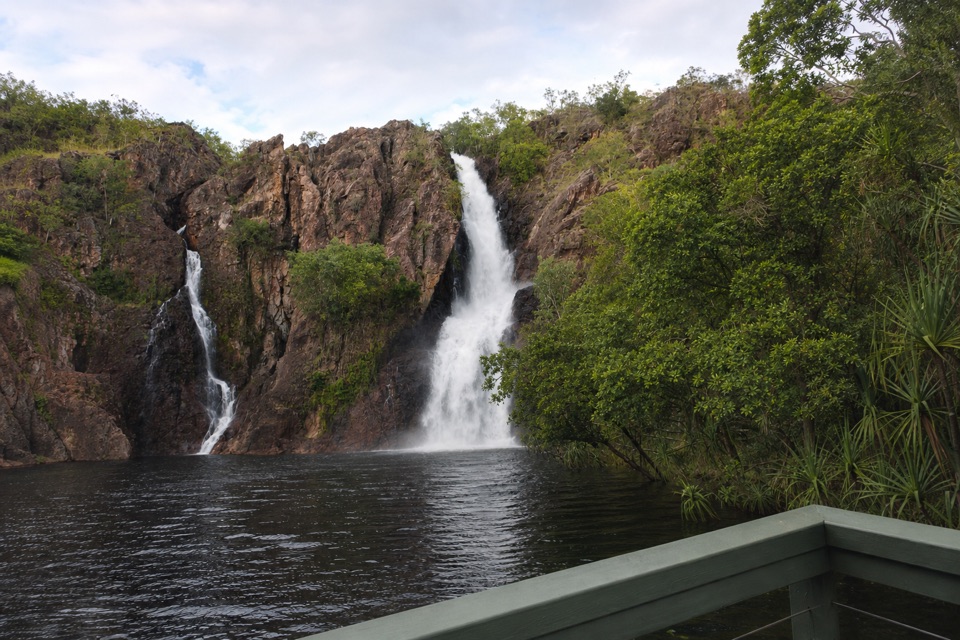 ChallengingTabletop Track: Wangi Falls to Walker Creek20.2 km · 12 hr · 4.7 km awayA rugged two-day Tabletop crossing with waterfalls and long dry stretches.
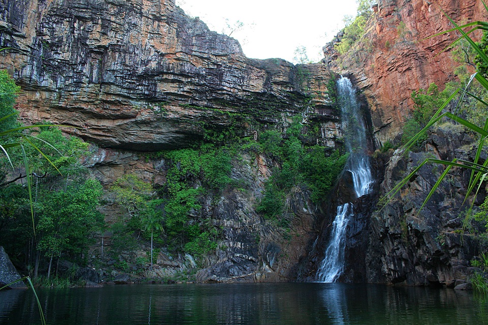 ModerateTjaynera Falls Walk3.4 km · 1.5 hr · 7.3 km awayCycads, paperbarks, and a plunge pool beneath the falls.
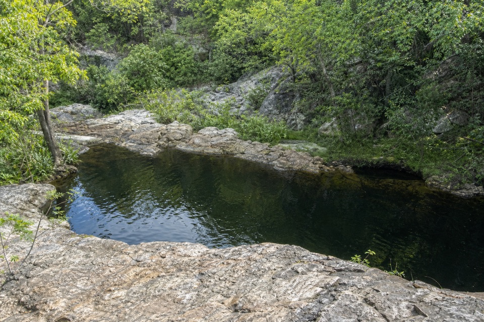 ModerateLower Cascades Walk2.6 km · 1.5 hr · 9.2 km awayQuickest, shadiest access to Curtain Falls and its rocky plunge pool.
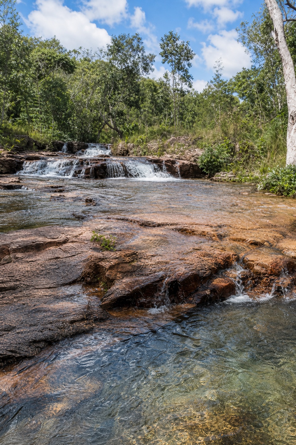 ModerateUpper Cascades Walk3.3 km · 2 hr · 9.2 km awayA rocky climb opens onto plateau lookouts and stepped cascades.
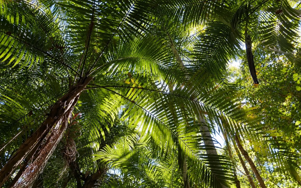 Picnic area · At the trailheadGreenant Creek Picnic AreaShady creekside start to a 2.7 km return walk and lookout
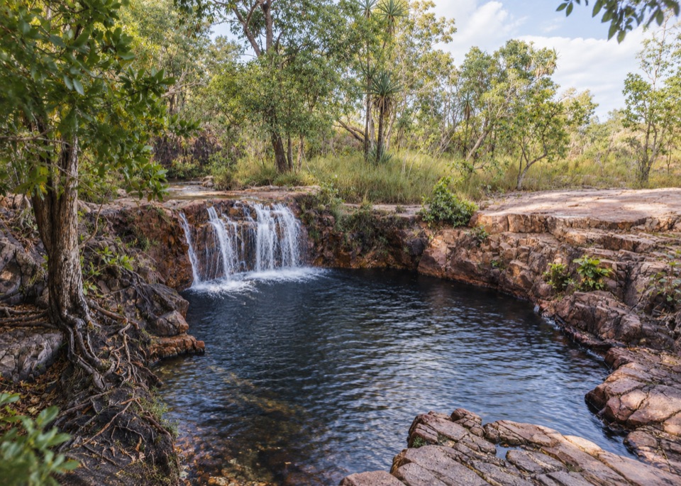 Sight · 1 km awayTjaetaba FallsShady creek walk climbing to a quiet rocky cascadeSight · 1.6 km awayTolmer FallsTwin escarpments, one deep plunge pool, and a short sealed path
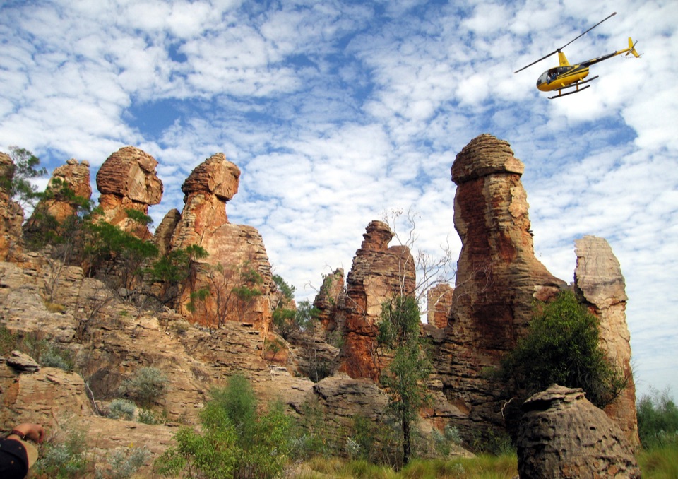 Sight · 4.2 km awayThe Lost CityTowering sandstone blocks like ruined city streets, reached only by 4WD
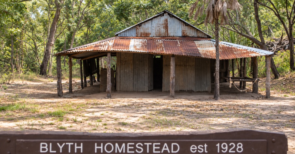 Sight · 4.4 km awayBlyth HomesteadRestored 1928 pastoral homestead deep on the Reynolds River 4WD track
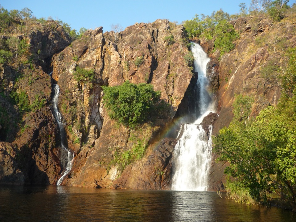 Sight · 4.5 km awayWangi FallsTwin falls into a deep swimming pool, minutes from the carpark
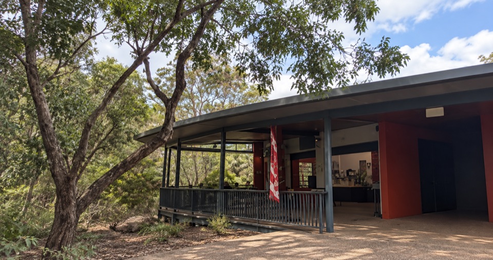 Food · 4.7 km awayWangi Falls CafeShaded open-air kiosk steps from the plunge pool, with cold drinksCampground · 4.7 km awayWangi Falls CampgroundCamp minutes from year-round falls and a deep monsoon-forest pool
Parkwolf’s Litchfield ranking

The audio tour guide for the drive, plus offline maps, trails, and wildlife heatmaps for when the signal drops.