Parking
Use Tolmer Falls Carpark by the park road; coach parking, a picnic area and public toilets are at the site.

#5 of 17 trails in Litchfield
Litchfield National Park, NT
A short sealed path to two decks over Tolmer's deep gorge.
Overview
Map & elevation
Plan your hike

The highest, rockiest slopes around here are a summer buffet for grizzly bears.
Litchfield Tour Guide
Parkwolf is a GPS audio tour guide for Litchfield National Park. As you drive, it chimes in with what’s ahead: hidden gems, upcoming stops, history, geology, and wildlife, right through your car’s speakers.
Recorded for this trailhead
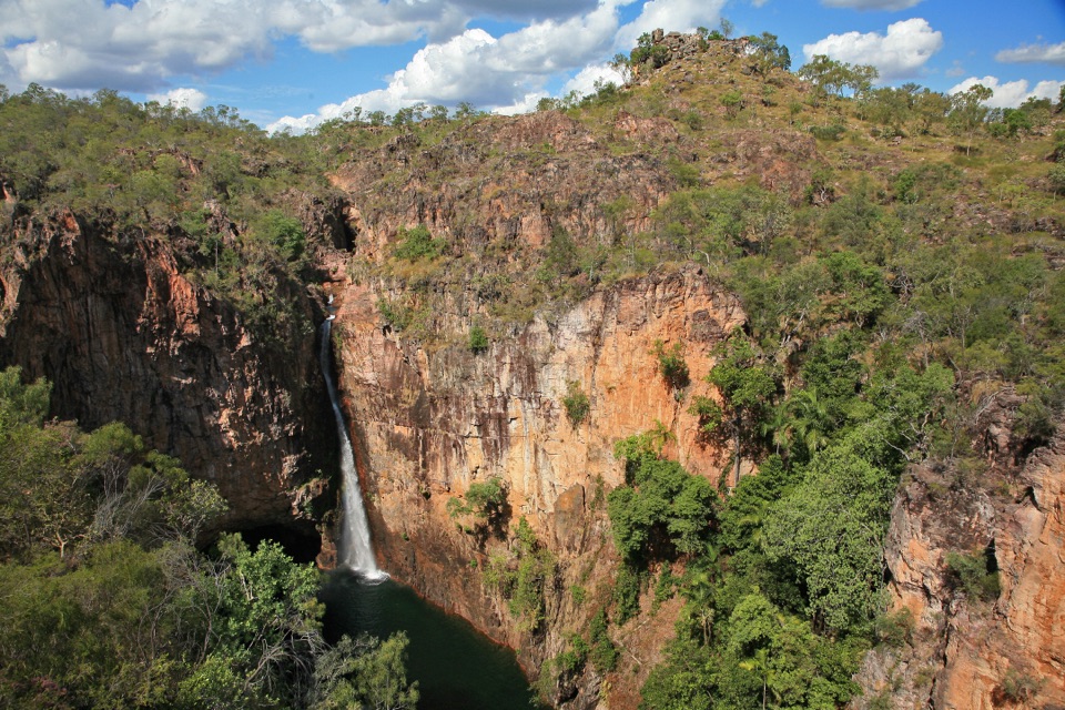
Tolmer Falls“You're nearing Tolmer Falls, where water drops over two sandstone escarpments into a pool far below the lookout.”
Plays as you drive up to this trailhead in the Parkwolf Litchfield Tour Guide.
More stories near here in the app
“Fantastic app with many points of information… It’s great to just turn on while you’re driving and it gives you an audio tour of the national Park. We love it!!!!”


Trail guide
The Tolmer Falls Lookout Walk is a sealed 400 m path one way from Tolmer Falls Carpark to two viewing decks at the gorge rim. Return by the same route: about 800 m (0.5 mi) in all. It is an easy way to reach the main view without taking on the rockier rim walk; NT Parks describes the platform access as suitable for visitors of all abilities. Allow around 20 minutes, with extra time if you want to stop at both decks.
At the rim, look down toward the falls, which spill over two high escarpments into a deep plunge pool. This path does not descend to the water: swimming and camping are prohibited at Tolmer Falls. The wet season brings the strongest flow, so make that your pick if seeing the waterfall is the point of your stop. A vertical frame from a deck can hold the full fall and dark pool; keep part of the sheer sandstone walls in the shot to show the height. Explorer Frederick Henry Litchfield named the falls for Alexander Tolmer, a colleague of his late father in the South Australia Police.
Start at Tolmer Falls Carpark; coach parking, a picnic area, information signs and public toilets are at the site. A park pass is required for visitors who live outside the Northern Territory; NT residents are exempt. Pets are prohibited in NT parks, with certified assistance animals allowed. For more walking, take the separate 1.6 km, Grade 3 Tolmer Falls Walk, a rocky rim-and-creek route that returns to the carpark. It takes about 45 minutes and is a different hike from this short there-and-back path.
Keep exploring
 ModerateTolmer Falls Walk1.6 km · 45 min · At the trailheadA short loop pairs the falls platform with a rocky creek return.
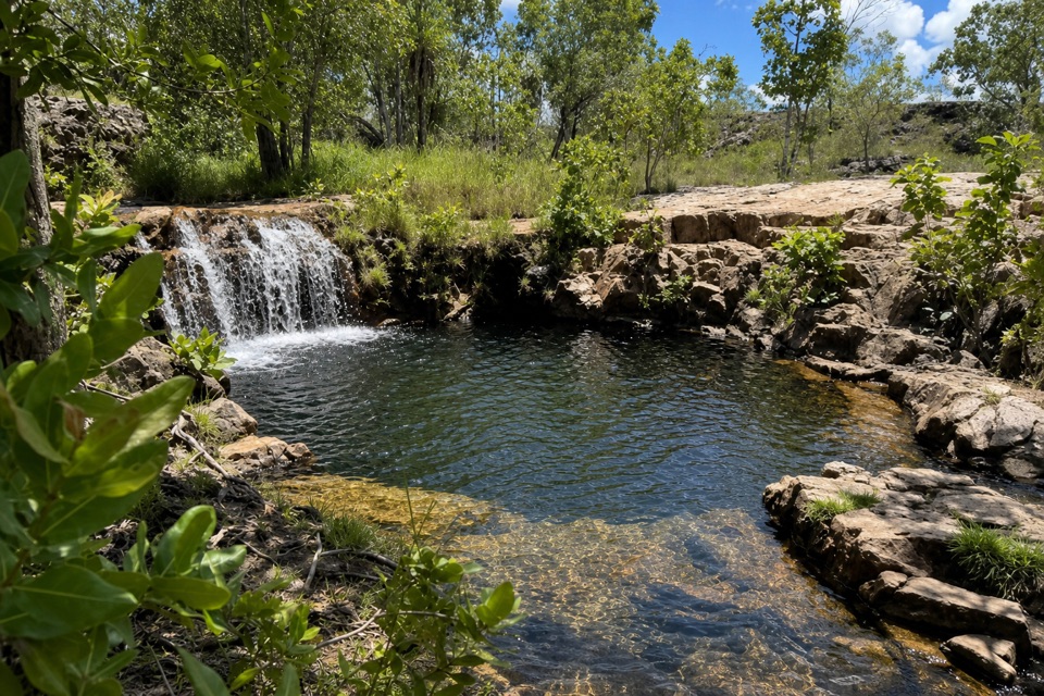 ModerateGreenant Creek Walk3.1 km · 1.5 hr · 1.4 km awayShade gives way to a steep climb and a falls lookout.
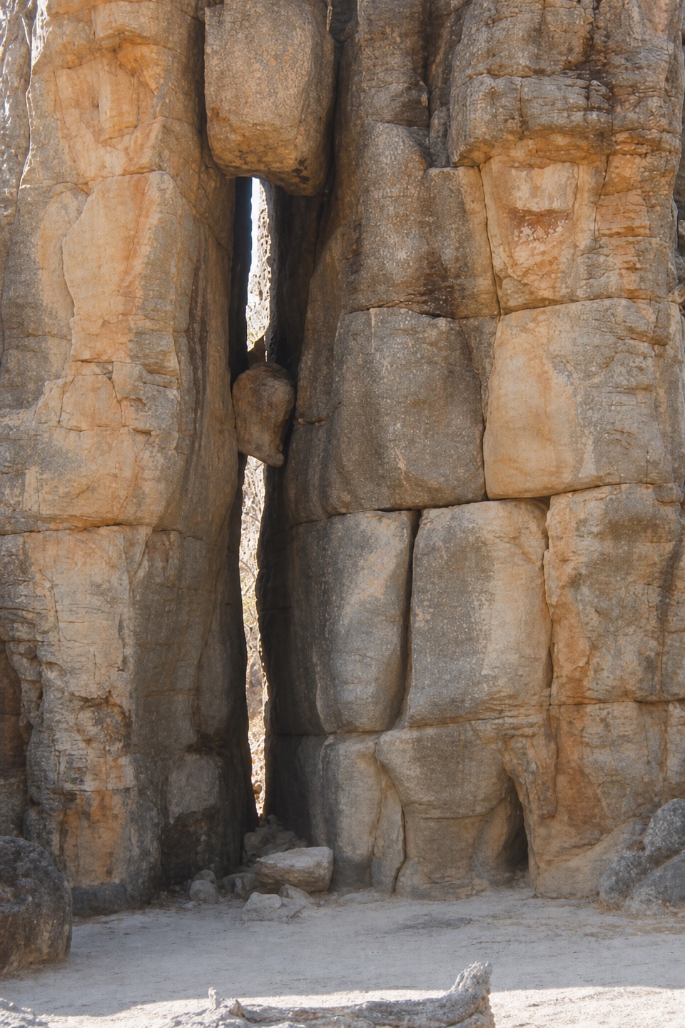 EasyThe Lost City Walk0.7 km · 30 min · 3 km awayA short wander among sandstone pillars, reached only by 4WD.
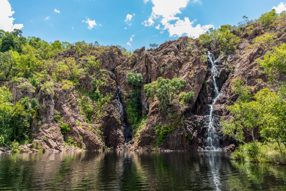 ModerateWangi Falls Walk1.6 km · 1 hr · 5.3 km awayA short loop pairs the plunge pool with an escarpment climb.
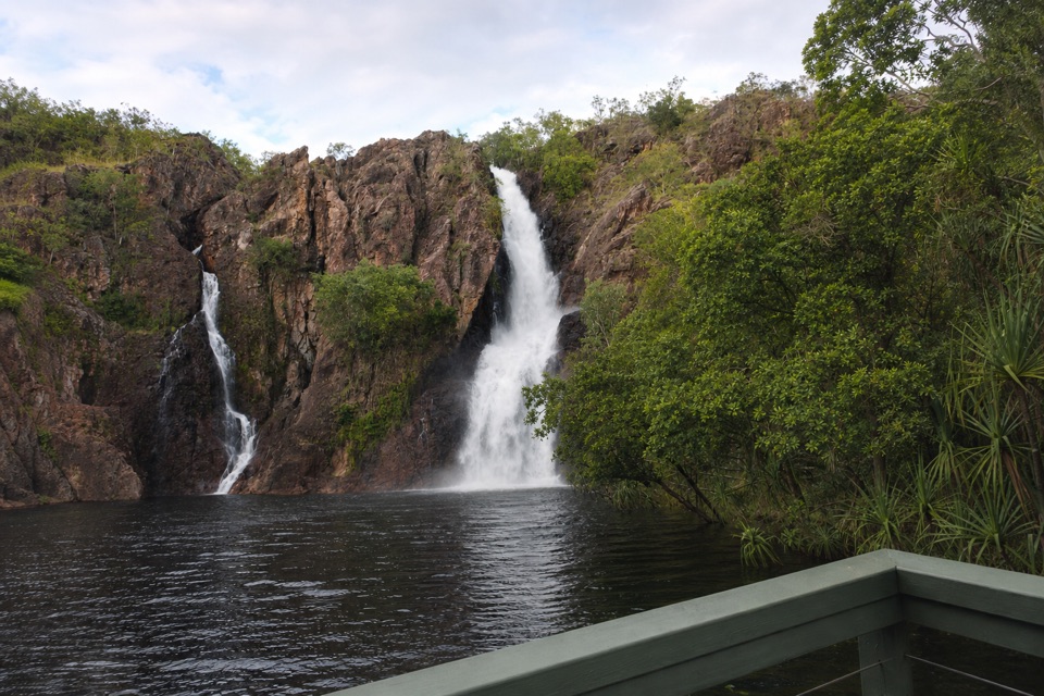 ChallengingTabletop Track: Wangi Falls to Walker Creek20.2 km · 12 hr · 5.6 km awayA rugged two-day Tabletop crossing with waterfalls and long dry stretches.
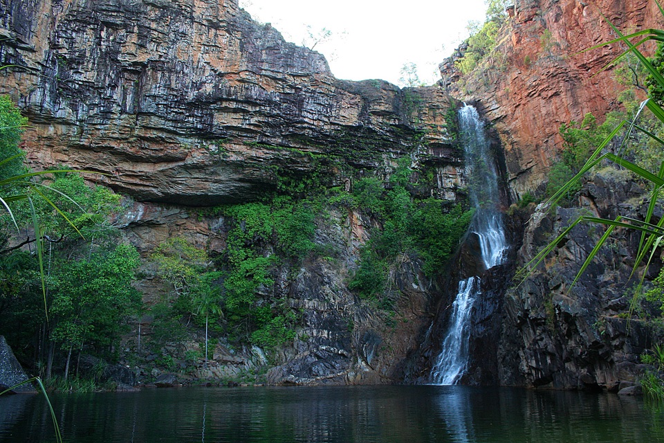 ModerateTjaynera Falls Walk3.4 km · 1.5 hr · 6.3 km awayCycads, paperbarks, and a plunge pool beneath the falls.
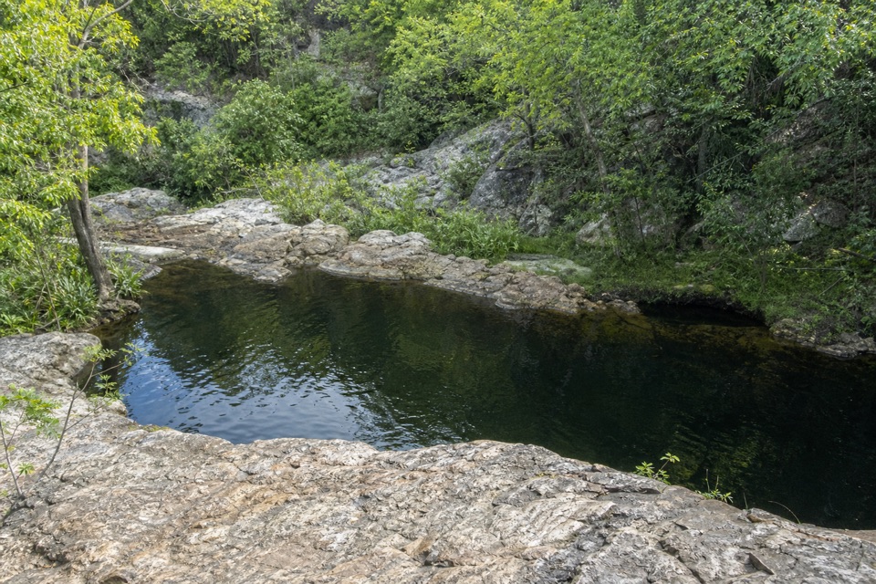 ModerateLower Cascades Walk2.6 km · 1.5 hr · 10 km awayQuickest, shadiest access to Curtain Falls and its rocky plunge pool.
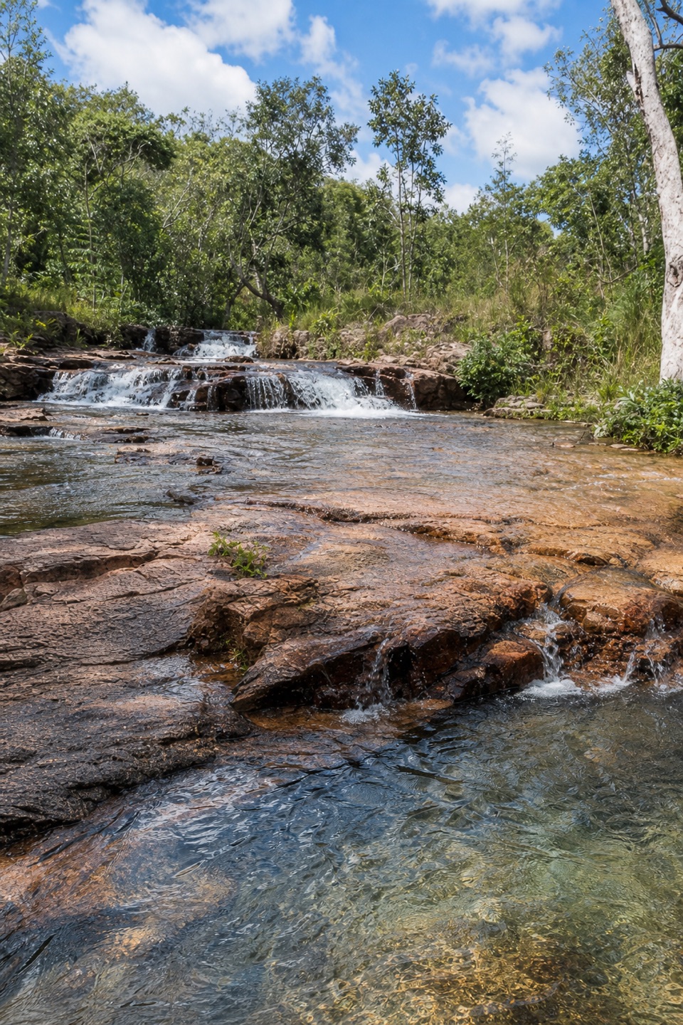 ModerateUpper Cascades Walk3.3 km · 2 hr · 10 km awayA rocky climb opens onto plateau lookouts and stepped cascades.Sight · 0.4 km awayTolmer FallsTwin escarpments, one deep plunge pool, and a short sealed path
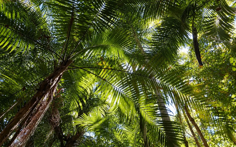 Picnic area · 1.4 km awayGreenant Creek Picnic AreaShady creekside start to a 2.7 km return walk and lookout
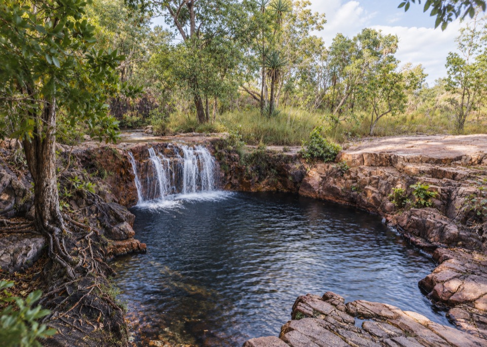 Sight · 1.6 km awayTjaetaba FallsShady creek walk climbing to a quiet rocky cascade
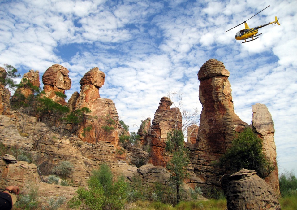 Sight · 2.9 km awayThe Lost CityTowering sandstone blocks like ruined city streets, reached only by 4WD
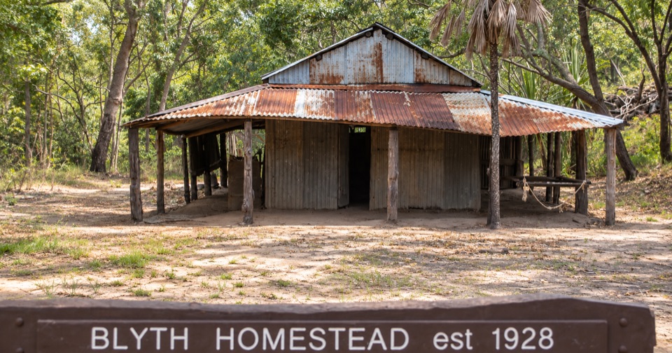 Sight · 3.6 km awayBlyth HomesteadRestored 1928 pastoral homestead deep on the Reynolds River 4WD track
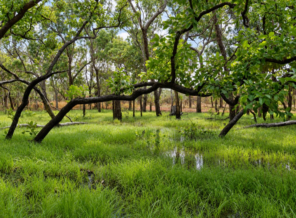 Sight · 4.6 km awayTabletop SwampA paperbark-fringed wetland for a quiet picnic and unhurried birdwatching
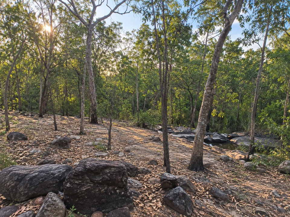 Campground · 5 km awaySouthern Campground (Tabletop Track)Rugged riverbed camp 15 km into the Tabletop Track loop
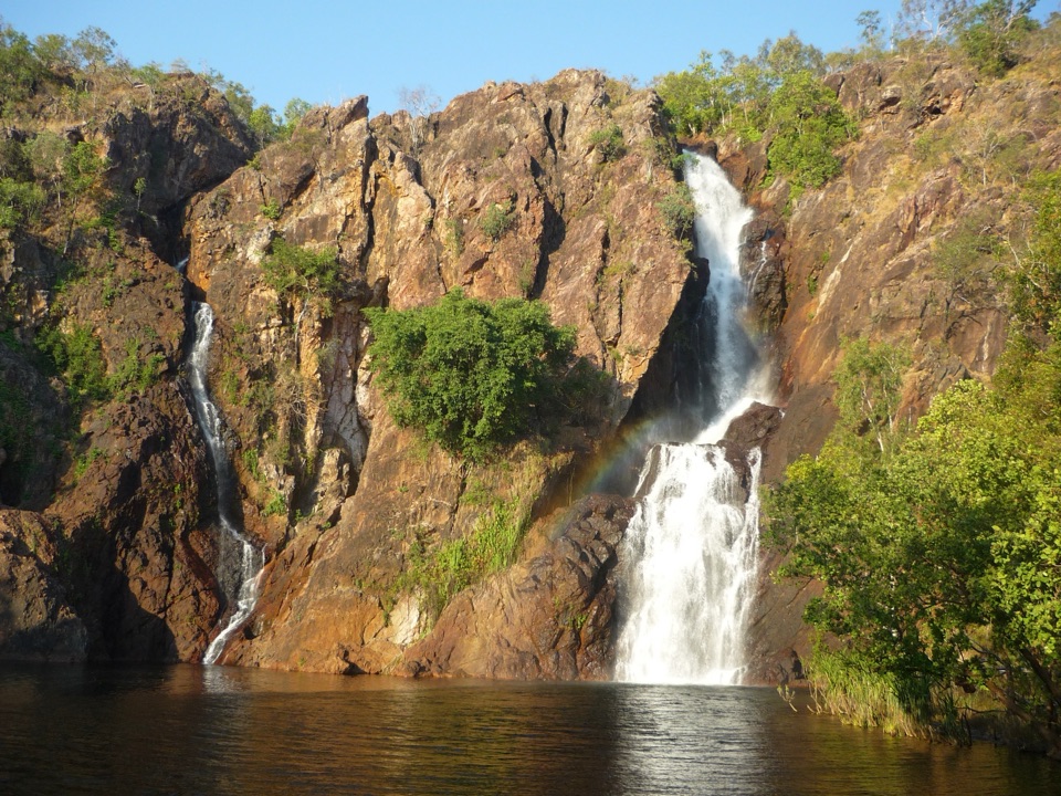 Sight · 5.3 km awayWangi FallsTwin falls into a deep swimming pool, minutes from the carpark
Parkwolf’s Litchfield ranking

The audio tour guide for the drive, plus offline maps, trails, and wildlife heatmaps for when the signal drops.